Verlengde Hoogeveensche Vaart
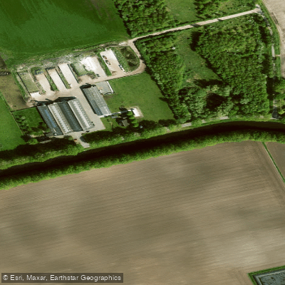
Verlengde Hoogeveensche Vaart
- Boat Ramps
- 0
- Access Points
- 0
- Campsites
- 4
The Verlengde Hoogeveensche Vaart is a historic canal in the province of Drenthe, in the northeastern Netherlands. It stretches approximately 32.5 kilometres from the eastern edge of Hoogeveen toward Klazienaveen and beyond, eventually connecting to the German waterway network via the Süd-Nord-Kanal near Ter Apel. The canal was originally developed following a concession granted in 1850 to extend the Hoogeveensche Vaart into the peat bogs of Noord- and Zuidbarge. The eastern section, beyond Erica, is also known as the Van Echtenskanaal, as it was constructed by the N.V. Nieuw-Echtens Veen Compagnie. The canal retains its function as a navigable waterway, though on the Zijtak branch, use is now limited to recreational craft.
The canal is managed with locally operated locks and bridges along its length. Paddlers and boaters should be aware that the Noordscheschutsluis marks the point where lock capacity decreases, and from there onward, convoying at a maximum speed of 6 km/h is standard practice. Along the Verlengde Hoogeveensche Vaart alone, there are two locks and 21 bridges, many of which are operated by a single bridge keeper managing several structures in combination, which can result in waiting times. Bridges and locks are operated locally rather than remotely, in contrast to the Hoogeveensche Vaart to the west, where remote operation from Hoogeveen is used.
The canal passes through the flat peat landscape of Drenthe, offering a distinctly low-lying, open character typical of this part of the Netherlands. The route connects to a broader network that includes the Hoogeveensche Vaart to the west and continues toward the Veenpark and Haren on the Ems to the east, making it part of a longer through-route for paddlers and boaters traveling between the Dutch interior and Germany. The Holsloot Bridge is one of the notable crossing points along the canal, located in the Coevorden area of Drenthe. The surrounding region includes access to towns such as Emmen and the broader Drenthe countryside, which can be combined with visits to natural areas in the province.
Water access, boat ramps & amenities
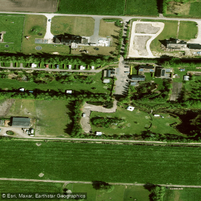
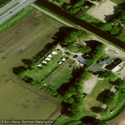
Learn how to get on Verlengde Hoogeveensche Vaart. Uncover great paddling access points, boat ramps, and all the facilities you need for an unforgettable day on the water. Some locations shown may border or include private property. Always check property boundaries and applicable regulations before visiting. PaddleWays's Public & Private Land layer can help you plan your access with confidence.
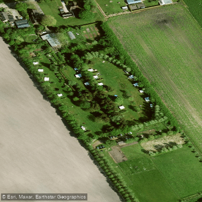
Paddle smarter with real-time insights
Whether you're en route and conditions shift or you're looking for the best spot based on current flows, we enable you to make informed decisions on the fly.







Drenthe licenses and regulations
No licenses or regulations available for Drenthe.
Find Places to Paddle

Over 400,000 Places to Paddle
Every user gets free access to launch points, boat ramps, and public property parcels.


Water and weather conditions (10 day forecast)
See the best times to paddle Verlengde Hoogeveensche Vaart and check the forecast before you go.
No forecast data available.
Paddling near Verlengde Hoogeveensche Vaart
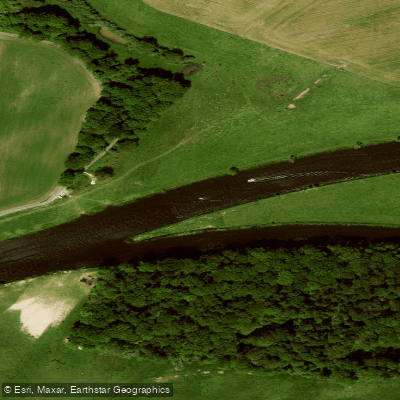
Overijsselse Vecht
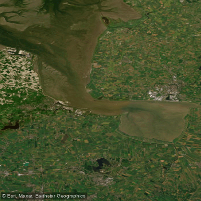
Eems-Dollard
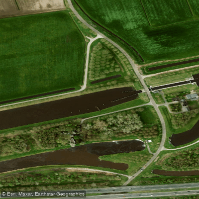
Hoogeveensche Vaart
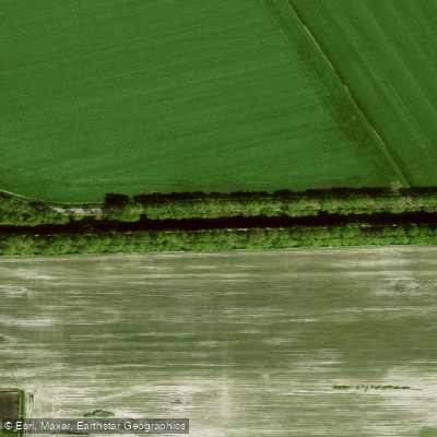
Kanaal Coevorden-Zwinderen
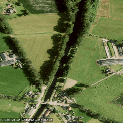
Overijssels Kanaal
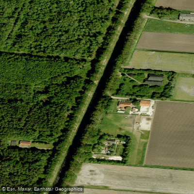
Ruiten Aa Kanaal
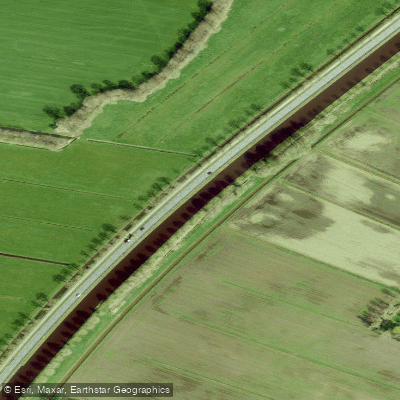
Drentsche Hoofdvaart
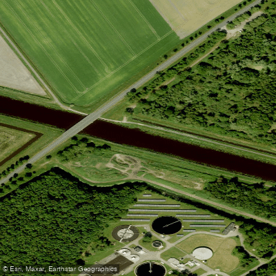
A.G. Wildervanckkanaal
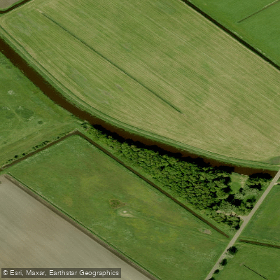
Hunze
Explore Drenthe waters
Top paddling waters
No waters available right now.
Popular Cities
Loading popular cities...
Explore near Verlengde Hoogeveensche Vaart

Smarter Paddling Starts in the App.
Paddleways gives you everything you need to plan smarter, paddle better, and own every trip from first launch to takeout.