Hoogeveensche Vaart
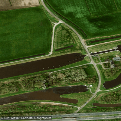
Hoogeveensche Vaart
- Boat Ramps
- 0
- Access Points
- 1
- Campsites
- 0
The Hoogeveensche Vaart is a canal located in Drenthe, Netherlands, running approximately 29 kilometres from the Meppeler Diep in the west to the eastern edge of Hoogeveen. It is a relatively wide waterway that accommodates both recreational and commercial shipping traffic, which is an important consideration for paddlers sharing the water with larger vessels.
The canal features three locks and five movable bridges, all operated remotely. Radio communication for the western section is handled on VHF channel 18, while the eastern section uses VHF channel 84. The remotely operated movable bridge at Staphorster Grote Stouwe, located about one kilometre from the Meppelerdiep, has a clearance of 30 decimetres, meaning many recreational vessels can pass beneath it without requesting an opening before 09:00. The permitted speed limit on the canal is 9 km/h. Because commercial shipping also uses the waterway, paddlers should be aware that pleasure craft may experience waiting times at locks.
The Hoogeveensche Vaart connects westward to the Meppeler Diep and continues eastward into the Verlengde Hoogeveensche Vaart, which extends a further 32.5 kilometres toward Klazienaveen. The small harbour of Rogat along the route offers mooring, and there is a mooring point near Hoogeveen as well, though the latter lacks service infrastructure. Hoogeveen itself is described as a sprawling town; its harbour currently offers no service facilities.
For those interested in fishing, the canal is known to hold northern pike, European perch, and common carp. The broader region of Drenthe offers access to natural areas including the Drentsche Aa National Park and the Drents-Friese Wouden National Park, which can be explored in combination with a paddling trip on the canal.
Paddlers planning a trip should factor in the operational hours of the locks and bridges, as these are remotely managed and subject to scheduled service periods. From September onward, some lock services on connecting waterways operate by appointment.
Water access, boat ramps & amenities
Learn how to get on Hoogeveensche Vaart. Uncover great paddling access points, boat ramps, and all the facilities you need for an unforgettable day on the water. Some locations shown may border or include private property. Always check property boundaries and applicable regulations before visiting. PaddleWays's Public & Private Land layer can help you plan your access with confidence.
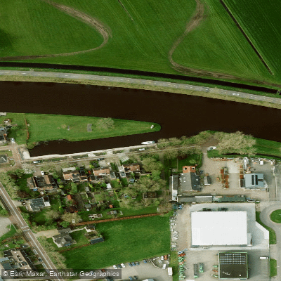
Paddle smarter with real-time insights
Whether you're en route and conditions shift or you're looking for the best spot based on current flows, we enable you to make informed decisions on the fly.







Drenthe licenses and regulations
No licenses or regulations available for Drenthe.
Find Places to Paddle

Over 400,000 Places to Paddle
Every user gets free access to launch points, boat ramps, and public property parcels.


Water and weather conditions (10 day forecast)
See the best times to paddle Hoogeveensche Vaart and check the forecast before you go.
No forecast data available.
Paddling near Hoogeveensche Vaart
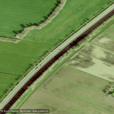
Drentsche Hoofdvaart
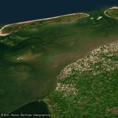
Waddenzee
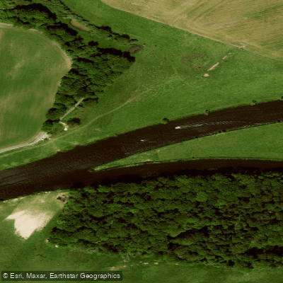
Overijsselse Vecht
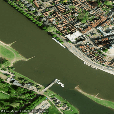
Geldersche IJssel
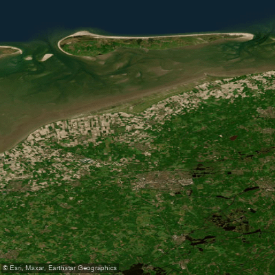
Waddenzee vastelandskust
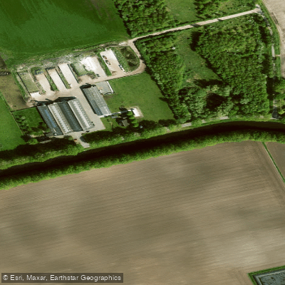
Verlengde Hoogeveensche Vaart
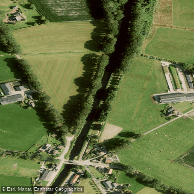
Overijssels Kanaal
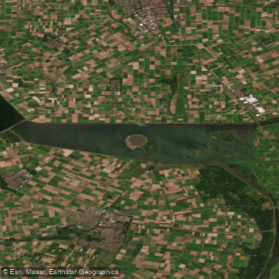
Ketelmeer
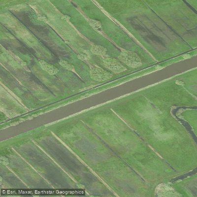
Kuinder of Tjonger
Explore Drenthe waters
Top paddling waters
No waters available right now.
Popular Cities
Loading popular cities...
Explore near Hoogeveensche Vaart

Smarter Paddling Starts in the App.
Paddleways gives you everything you need to plan smarter, paddle better, and own every trip from first launch to takeout.