Nieuwe Vaart
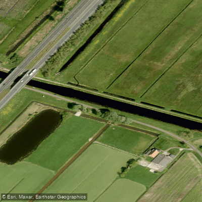
Nieuwe Vaart
- Boat Ramps
- 0
- Access Points
- 7
- Campsites
- 1
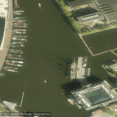
The Nieuwe Vaart is a 17th-century canal in Amsterdam that runs in a southeastern direction from the Kattenburgerplein, near the Maritime Museum, through to the Zeeburgersluis, where it connects with the Amsterdam-Rhine Canal. Along its course it forms the southern boundary of the Eastern Docklands (Oostelijk Havengebied), passing between the Oostelijke Eilanden to the north and the Kadijken to the south.
The canal intersects with several other waterways. From the north, the Kattenburgervaart and Wittenburgervaart join via culverts, while the Entrepotdok connects from the south through the Entrepotdoksluis. At the Dageraadsbrug, a short connection links the Nieuwe Vaart to the Lozingskanaal, an extension of the Singelgracht. A floodgate known as the Nieuwe Vaartbemaling can be closed to block high water from the IJ, which is worth noting when planning a route through this section.
Paddlers traveling the canal pass a number of notable landmarks. The Oosterkerk is visible along the waterway, and the De Gooyer windmill — with Brouwerij het IJ alongside it — marks a recognizable point near the eastern end. The 't Kromhout shipyard, identifiable by its characteristic steel arches dating to 1887, also lines the canal. The Overhaalsgang bridge and the Kattenburger Bridge are visible along the northwestern stretch.
The canal is used by canoeists year-round, including during winter months, though paddlers should be prepared for cold temperatures; ice on boat decks has been noted on winter outings. The waterway forms part of longer urban paddling routes connecting Amsterdam's historic canal network with the broader eastern waterways, making it a practical through-route as well as a destination in its own right.
Water access, boat ramps & amenities
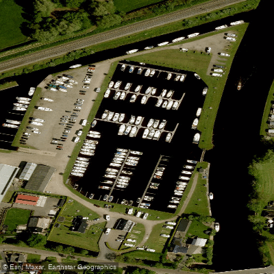
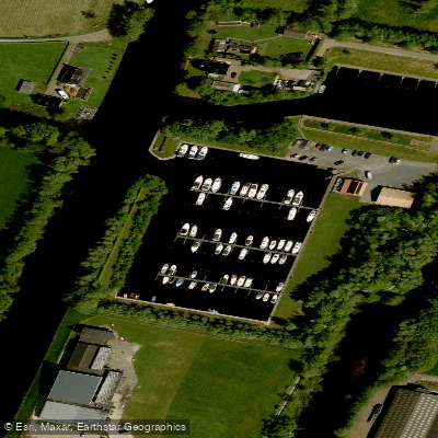
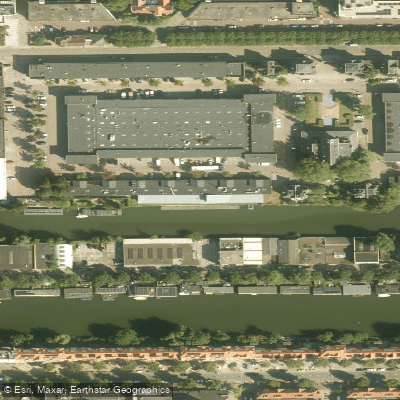
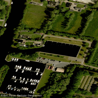
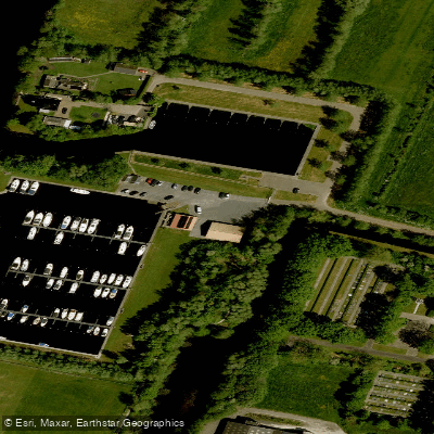
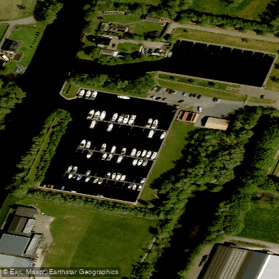
Learn how to get on Nieuwe Vaart. Uncover great paddling access points, boat ramps, and all the facilities you need for an unforgettable day on the water. Some locations shown may border or include private property. Always check property boundaries and applicable regulations before visiting. PaddleWays's Public & Private Land layer can help you plan your access with confidence.
Paddle smarter with real-time insights
Whether you're en route and conditions shift or you're looking for the best spot based on current flows, we enable you to make informed decisions on the fly.







Friesland licenses and regulations
No licenses or regulations available for Friesland.
Find Places to Paddle

Over 400,000 Places to Paddle
Every user gets free access to launch points, boat ramps, and public property parcels.


Water and weather conditions (10 day forecast)
See the best times to paddle Nieuwe Vaart and check the forecast before you go.
No forecast data available.
Paddling near Nieuwe Vaart
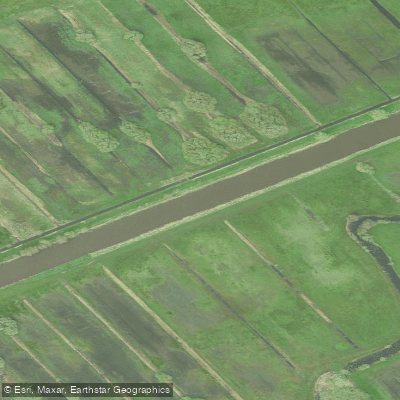
Kuinder of Tjonger
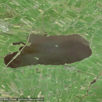
Tsjûkemar
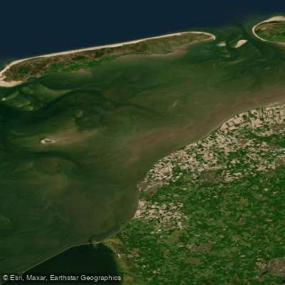
Waddenzee
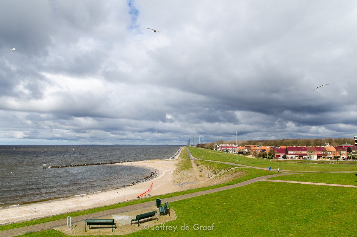
IJsselmeer
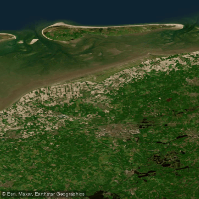
Waddenzee vastelandskust
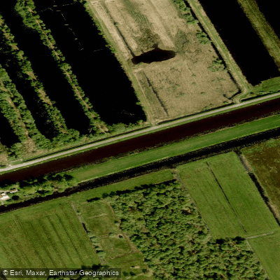
Ringvaart
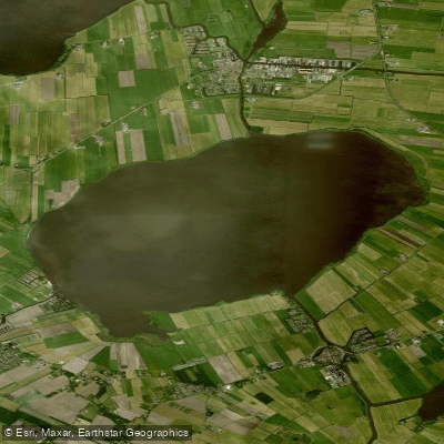
Sleattemer Mar
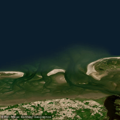
Friese Zeegat
Bolswardertrekvaart
Explore Friesland waters
Top paddling waters
No waters available right now.
Popular Cities
Loading popular cities...
Explore near Nieuwe Vaart
Access points
Nearby waters
More in Friesland

Smarter Paddling Starts in the App.
Paddleways gives you everything you need to plan smarter, paddle better, and own every trip from first launch to takeout.