Waddenzee
- Saltwater
- Bay
Waddenzee
- Saltwater
- Bay
- Sq. miles
- 830
- Boat Ramps
- 0
- Access Points
- 12
- Campsites
- 3
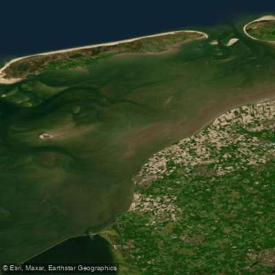
The Waddenzee, or Wadden Sea, is a vast, shallow coastal bay and UNESCO World Heritage Site located between the mainland of Friesland, Netherlands, and a chain of barrier islands including Texel, Vlieland, Terschelling, Ameland, and Schiermonnikoog. It is the largest unbroken system of intertidal sand and mud flats in the world, characterized by an extreme tidal range of about two meters. This creates a dynamic landscape where vast areas fall dry at low tide, exposing mudflats and sandbars, and are flooded again every six hours. The sea floor is constantly shifting, with channels, gullies, and sandbanks that change annually, necessitating up-to-date nautical charts and reliance on an echo sounder for precise navigation. For paddlers, this environment demands expert tidal planning. The area is a kayaker's paradise, but crossings to the islands, such as from Holwerd to Nes on Ameland, are significant open-water endeavors that require careful timing. Currents are very strong, and paddling should ideally be planned with the tidal flow; one account describes a return trip where "the currents pushed us home." Wind against tide can build unpleasant, short waves, particularly in the channels, and winds over Force 6 are considered hazardous for attempting passages from the open North Sea into the area. The prevailing wind direction is northwest to southwest. The Wadden Sea is rich in wildlife, with seals commonly seen sunbathing on banks and it is a critical habitat for millions of migratory birds. Launch points are found along the mainland dike, with specific crossings like Holwerd serving as gateways to the islands. Facilities include harbors on the islands with floating jetties, though these are primarily for larger vessels. The overall experience is one of navigating a raw, expansive, and biologically rich intertidal wilderness where timing the tides is paramount to safety and progress.
Water access, boat ramps & amenities
Learn how to get on Waddenzee. Uncover great paddling access points, boat ramps, and all the facilities you need for an unforgettable day on the water. Some locations shown may border or include private property. Always check property boundaries and applicable regulations before visiting. PaddleWays's Public & Private Land layer can help you plan your access with confidence.
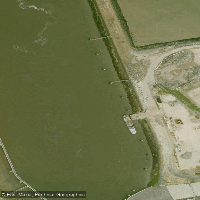
Buitenhaven
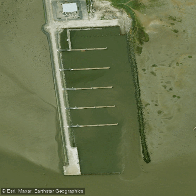
De Oude Veerdam|Waddenhaven Schiermonnikoog
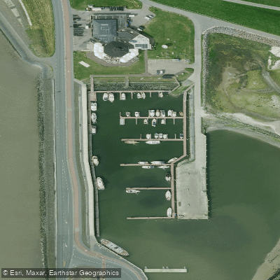
Het Leijegat|Waddenhaven Ameland
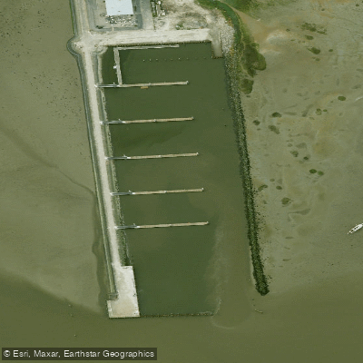
Jachthaven Schiermonnikoog
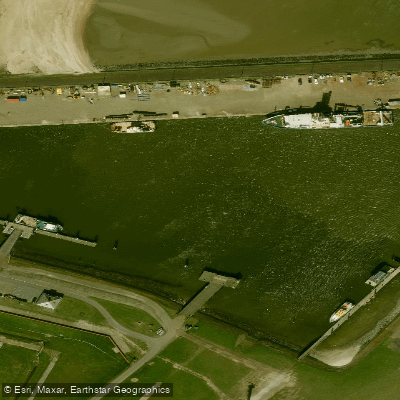
Seaport Texel
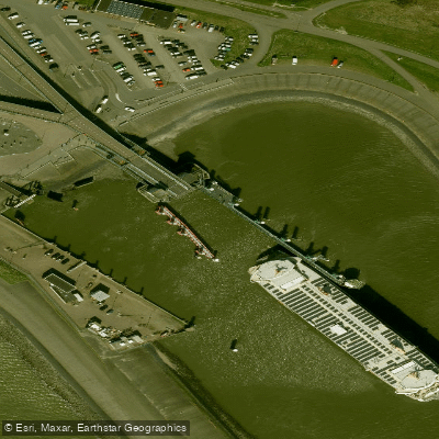
Veerhaven
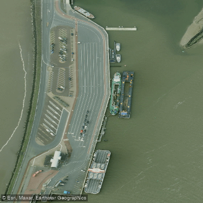
Veerhaven Nes
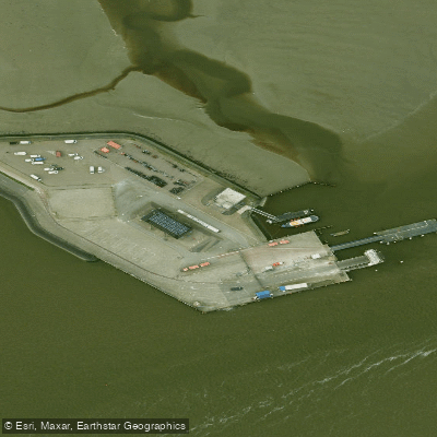
Veerhaven Schiermonnikoog
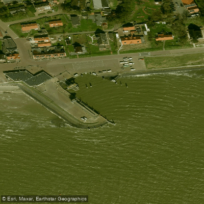
Veerhaven Vlieland
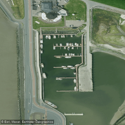
Waddehaven Ameland
Paddle smarter with real-time insights
Whether you're en route and conditions shift or you're looking for the best spot based on current flows, we enable you to make informed decisions on the fly.







Friesland licenses and regulations
No licenses or regulations available for Friesland.
Find Places to Paddle

Over 400,000 Places to Paddle
Every user gets free access to launch points, boat ramps, and public property parcels.


Tides, wind & water conditions (10 day forecast)
On open water, wind and tide matter as much as the weather. See the best times to paddle Waddenzee and check the marine forecast before you launch.
Loading tide predictions…
Paddling near Waddenzee
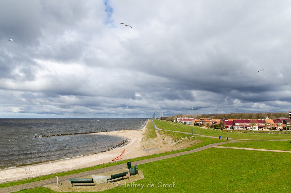
IJsselmeer
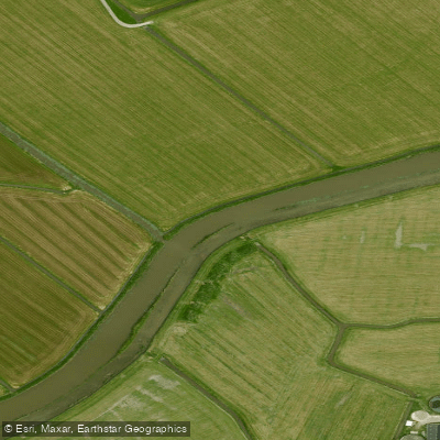
Bolswardertrekvaart
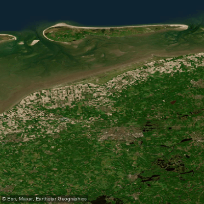
Waddenzee vastelandskust
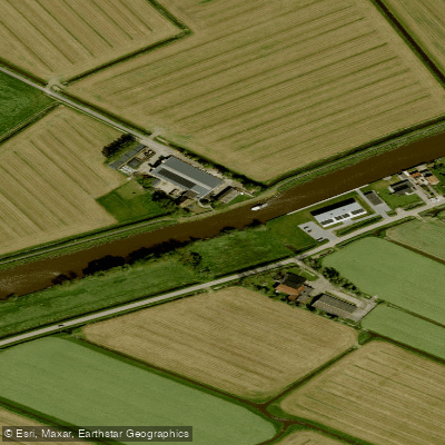
Dokkumer-Ee
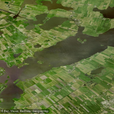
De Fluezen
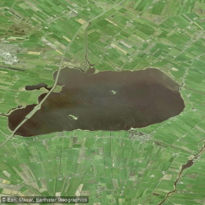
Tsjûkemar
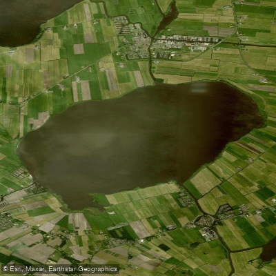
Sleattemer Mar
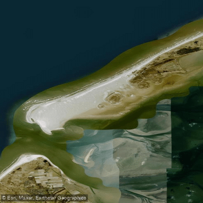
Vliehors
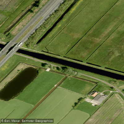
Nieuwe Vaart
Explore Friesland waters
Top paddling waters
No waters available right now.
Popular Cities
Loading popular cities...
Explore near Waddenzee
Access points
Nearby waters
More in Friesland

Smarter Paddling Starts in the App.
Paddleways gives you everything you need to plan smarter, paddle better, and own every trip from first launch to takeout.