Waddenzee vastelandskust
- Saltwater
- Sea area
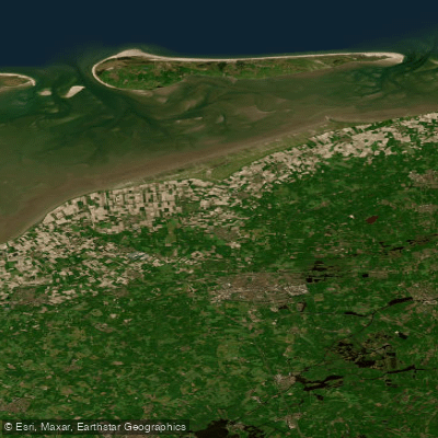
Waddenzee vastelandskust
- Saltwater
- Sea area
- Sq. miles
- 109
- Boat Ramps
- 1
- Access Points
- 14
- Campsites
- 2
The Waddenzee vastelandskust refers to the mainland coast of the Wadden Sea in North Holland, Netherlands, a shallow inland sea and UNESCO World Heritage Site. This is a dynamic, tidal saltwater environment where most of the sea falls dry at low tide, revealing vast mudflats and sandbars, with deep tidal channels remaining. Paddling here requires expert tidal planning and navigation, as conditions are ruled by the tides. The area is characterized by its openness and vast intertidal landscape. A primary access point for launching is the harbor at Den Oever, from which guided boat trips also depart. The dike near Den Helder or around the locks of Den Oever serves as a key lookout point. This coast is the gateway to the Dutch Wadden Islands, and paddlers undertake open-water crossings to islands like Ameland from mainland ports such as Holwerd. These crossings involve dealing with currents, waves, and potential headwinds, and can culminate in surfing conditions on the return leg when aided by the tide. The region is teeming with wildlife; seals are a common sighting, and harbour porpoises can be spotted from the dike. Large colonies of birds, including Spoonbills and wintering Brent geese, are present. The water body is part of a larger ecosystem known for its rich plankton and seaweed, supporting countless fish and bird species. The best time for paddling is heavily dependent on tidal cycles rather than a specific season, and trips require a high level of self-sufficiency and preparation for variable conditions.
Water access, boat ramps & amenities
Learn how to get on Waddenzee vastelandskust. Uncover great paddling access points, boat ramps, and all the facilities you need for an unforgettable day on the water. Some locations shown may border or include private property. Always check property boundaries and applicable regulations before visiting. PaddleWays's Public & Private Land layer can help you plan your access with confidence.
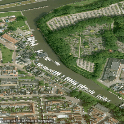
Harlinger Watersportvereniging
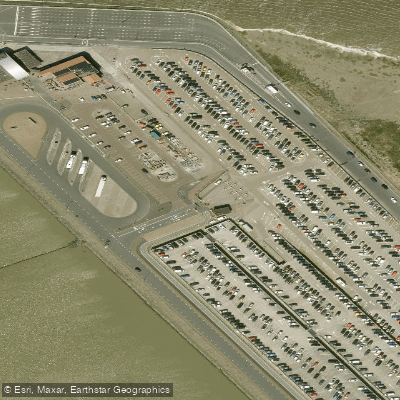
Haven Van Holwerd
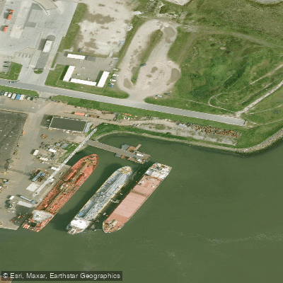
Industriehaven
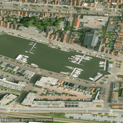
Jachthaven De Leeuwenbrug — Zuiderhaven
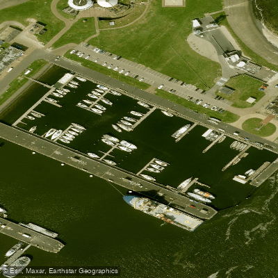
Kmjc Den Helder
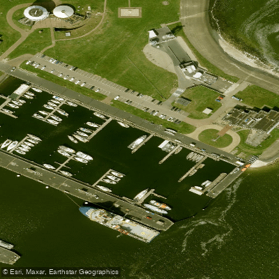
Koninklijke Marine Jacht Club
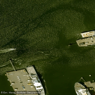
Nieuwe Haven
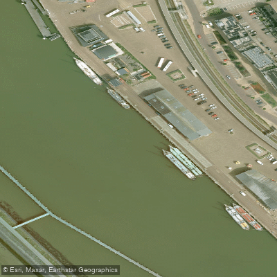
Nieuwe Willemshaven
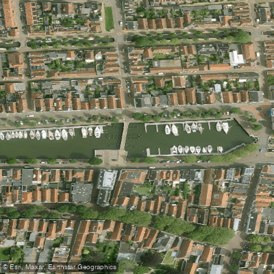
Noorderhaven
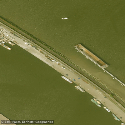
Noorderhaven
Paddle smarter with real-time insights
Whether you're en route and conditions shift or you're looking for the best spot based on current flows, we enable you to make informed decisions on the fly.







North Holland licenses and regulations
No licenses or regulations available for North Holland.
Find Places to Paddle

Over 400,000 Places to Paddle
Every user gets free access to launch points, boat ramps, and public property parcels.


Tides, wind & water conditions (10 day forecast)
On open water, wind and tide matter as much as the weather. See the best times to paddle Waddenzee vastelandskust and check the marine forecast before you launch.
Loading tide predictions…
Paddling near Waddenzee vastelandskust
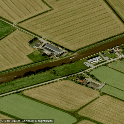
Dokkumer-Ee
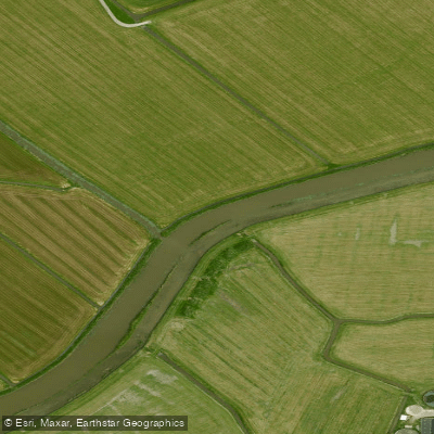
Bolswardertrekvaart
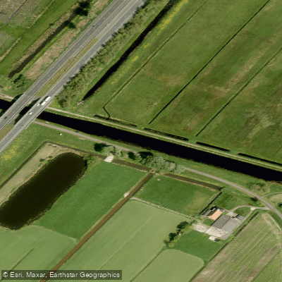
Nieuwe Vaart
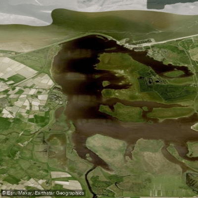
Lauwersmeer
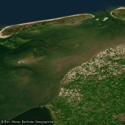
Waddenzee
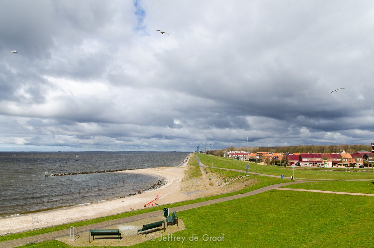
IJsselmeer
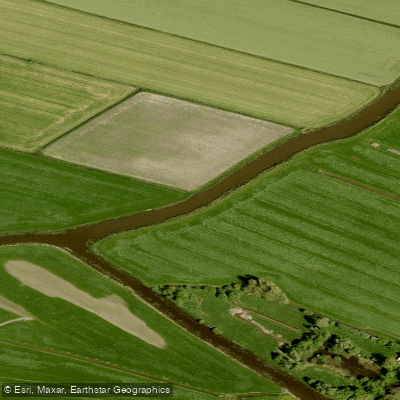
Snitser Aldfeart
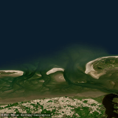
Friese Zeegat
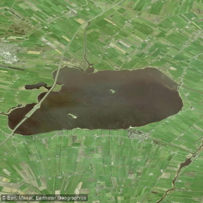
Tsjûkemar
Explore North Holland waters
Top paddling waters
No waters available right now.
Popular Cities
Loading popular cities...
Explore near Waddenzee vastelandskust
Access points
Nearby waters
More in North Holland

Smarter Paddling Starts in the App.
Paddleways gives you everything you need to plan smarter, paddle better, and own every trip from first launch to takeout.