Geldersche IJssel
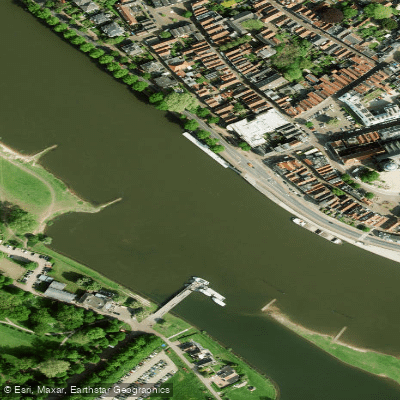
Geldersche IJssel
- Boat Ramps
- 0
- Access Points
- 14
- Campsites
- 2
The Geldersche IJssel (also written Gelderse IJssel) is a northward-flowing distributary of the Rhine, beginning at Westervoort on the eastern edge of Arnhem and running approximately 125 kilometres through the provinces of Gelderland and Overijssel before discharging into the Ketelmeer near Kampen. The river passes through or near several towns including Doesburg, Zutphen, Deventer, and Zwolle, offering a route through a varied and historically rich Dutch landscape.
The defining characteristic of paddling the IJssel is the presence of heavy commercial barge traffic throughout its length. Currents can be significant, particularly near bends and under bridges, and the combination of strong flow and large vessel wash demands constant attention. A dedicated channel for recreational craft, marked by buoys along the right-hand side of the river, provides some separation from commercial traffic, though paddlers should remain alert at all times. In certain stretches, professional skippers on commercial vessels have been known to communicate directly with recreational users to help navigate potentially dangerous situations.
The river has many bends, which both limits sightlines and creates areas of stronger current on the outside of each curve. Paddlers are advised to use the inside of bends where the current is weaker. Given the volume of commercial traffic, some form of vessel detection or awareness system is strongly recommended.
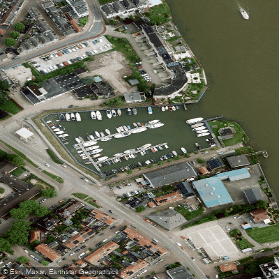
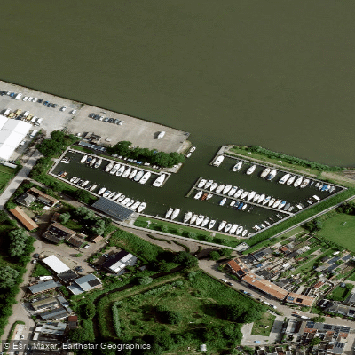
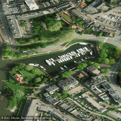
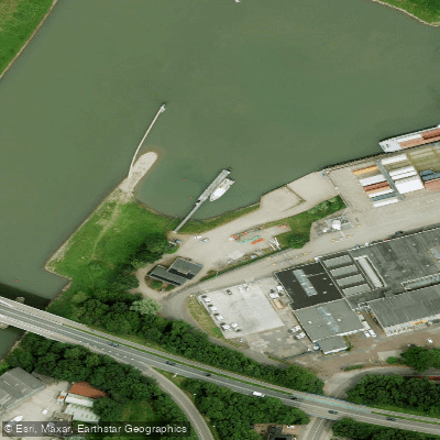
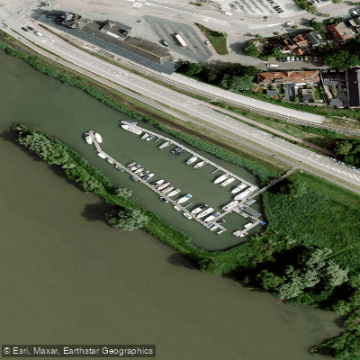
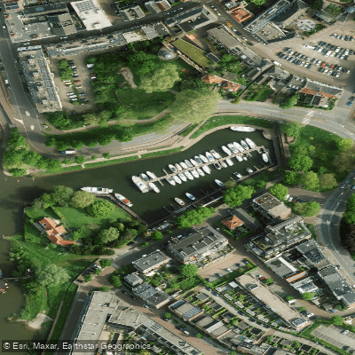
Access points include the marina at Giesbeek and the port at Zutphen, located in the Vispoortgracht in the town centre. The stretch between Giesbeek and Zutphen covers approximately 30 kilometres. Despite the navigational demands, the river passes through attractive countryside, and the towns along its banks offer practical stopping points for multi-day trips.
Water access, boat ramps & amenities
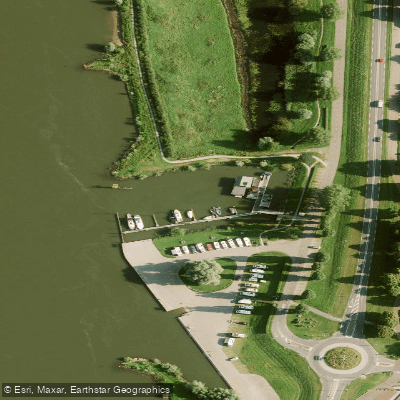
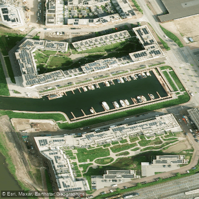
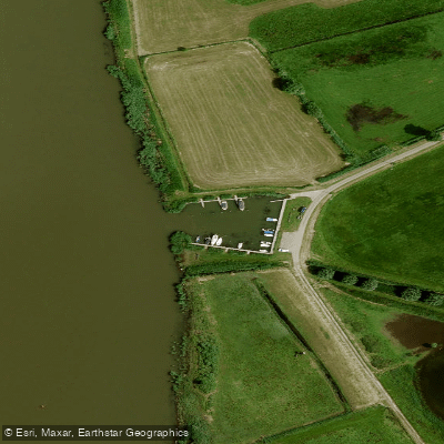
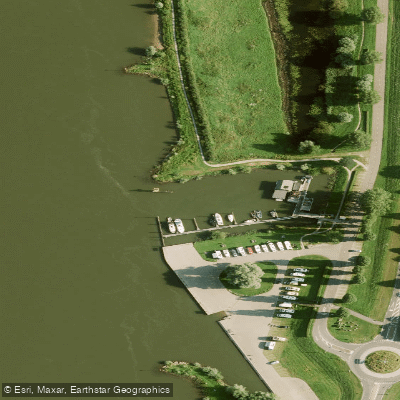
Learn how to get on Geldersche IJssel. Uncover great paddling access points, boat ramps, and all the facilities you need for an unforgettable day on the water. Some locations shown may border or include private property. Always check property boundaries and applicable regulations before visiting. PaddleWays's Public & Private Land layer can help you plan your access with confidence.
Paddle smarter with real-time insights
Whether you're en route and conditions shift or you're looking for the best spot based on current flows, we enable you to make informed decisions on the fly.







Gelderland licenses and regulations
No licenses or regulations available for Gelderland.
Find Places to Paddle

Over 400,000 Places to Paddle
Every user gets free access to launch points, boat ramps, and public property parcels.


Water and weather conditions (10 day forecast)
See the best times to paddle Geldersche IJssel and check the forecast before you go.
Kampen
All Flow Stations
Paddling near Geldersche IJssel
Overijssels Kanaal
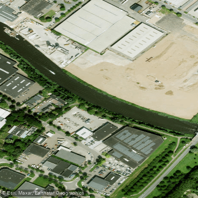
Oude IJssel
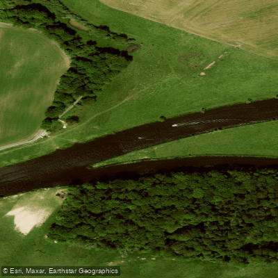
Overijsselse Vecht
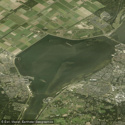
Wolderwijd
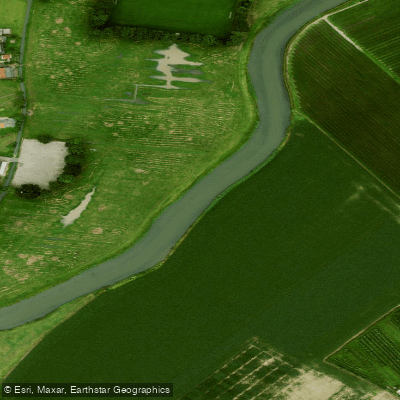
Linge
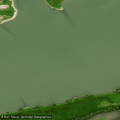
Waal
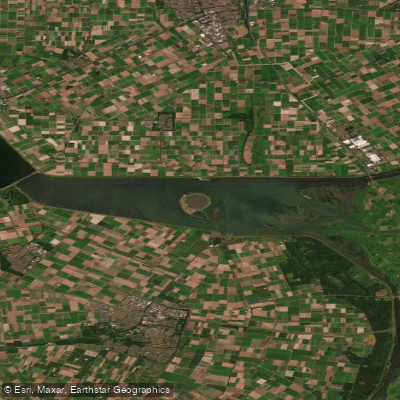
Ketelmeer
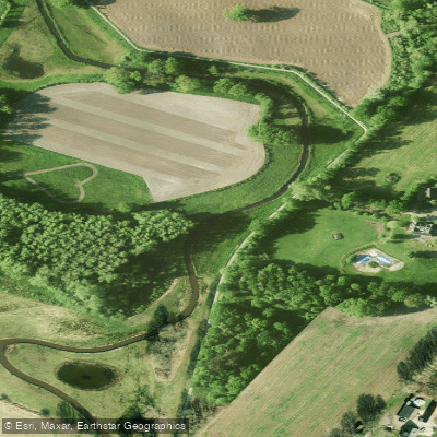
Regge
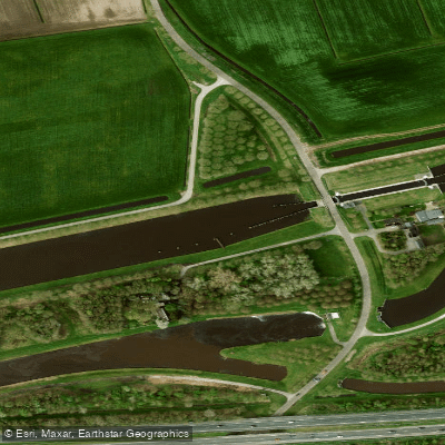
Hoogeveensche Vaart
Explore Gelderland waters
Top paddling waters
No waters available right now.
Popular Cities
Loading popular cities...
Explore near Geldersche IJssel
Access points
Nearby waters
More in Gelderland

Smarter Paddling Starts in the App.
Paddleways gives you everything you need to plan smarter, paddle better, and own every trip from first launch to takeout.