Ketelmeer
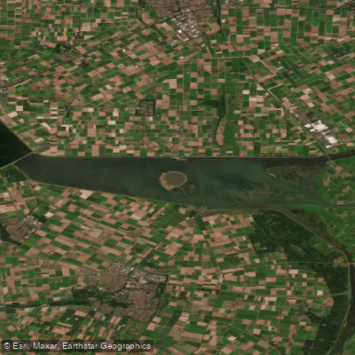
Ketelmeer
- Boat Ramps
- 1
- Access Points
- 5
- Campsites
- 0
The Ketelmeer is a lake of approximately 3,500 hectares (8,600 acres) situated in the central Netherlands, straddling the provinces of Flevoland and Overijssel. It functions as the receiving basin where the IJssel river drains into the IJsselmeer, and it forms a continuous body of water separating Flevoland from the Noordoostpolder and the mainland provinces of Gelderland and Overijssel. The lake is part of the Randmeren, a chain of bordering lakes in the Netherlands, and connects the IJsselmeer to the Zwarte Meer to the north. Its current form was created by the construction of the Noordoostpolder and Flevoland polders, which carved it out from the former Zuiderzee.
Two small settlements sit on opposite shores roughly at the lake's midpoint: Ketelhaven on the southern bank and Schokkerhaven on the northern bank, both of which serve as access and mooring points for water users. The Ketelbrug crosses the lake and is a notable landmark. The artificial island of IJsseloog sits within the lake; it was constructed as a permanent repository for contaminated dredged material removed during a major environmental cleanup of the lakebed, and has the potential to develop into a nature reserve in the future.
The Ketelmeer is designated as a Ramsar Wetland site (officially "Ketelmeer en Vossemeer," designated 29 August 2000), reflecting its ecological significance. The IJssel delta, which lies within the Overijssel portion of the lake, adds wetland habitat character to the eastern end.
For paddlers, the Ketelmeer sits on a well-traveled multi-day kayak route connecting the IJssel river system to the Zwarte Meer. One documented route follows the IJssel downstream from Deventer through Zwolle and Kampen, then crosses the Ketelmeer into the Zwarte Meer before continuing through Giethoorn and back. This crossing is noted as more suitable in summer when IJssel water levels are lower and currents are less powerful; spring and autumn can bring stronger currents on the connecting river sections. The lake's open expanse also connects southward via the Veluwemeer and westward to the IJsselmeer, making it a junction point for longer touring routes. Boaters are advised that conditions on the IJsselmeer and Markermeer, accessible from the Ketelmeer via the Houtribsluizen locks at Lelystad, warrant attention to wind forecasts.
Water access, boat ramps & amenities
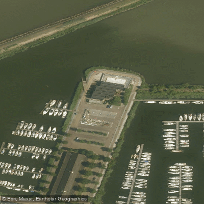
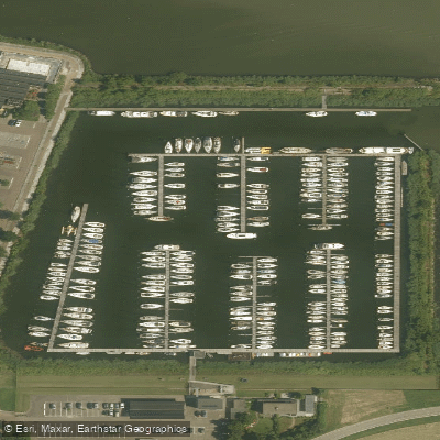
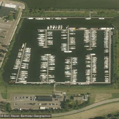
Learn how to get on Ketelmeer. Uncover great paddling access points, boat ramps, and all the facilities you need for an unforgettable day on the water. Some locations shown may border or include private property. Always check property boundaries and applicable regulations before visiting. PaddleWays's Public & Private Land layer can help you plan your access with confidence.
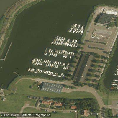
Paddle smarter with real-time insights
Whether you're en route and conditions shift or you're looking for the best spot based on current flows, we enable you to make informed decisions on the fly.







Flevoland licenses and regulations
No licenses or regulations available for Flevoland.
Find Places to Paddle

Over 400,000 Places to Paddle
Every user gets free access to launch points, boat ramps, and public property parcels.


Water and weather conditions (10 day forecast)
See the best times to paddle Ketelmeer and check the forecast before you go.
No forecast data available.
Paddling near Ketelmeer
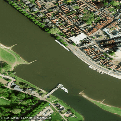
Geldersche IJssel
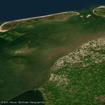
Waddenzee
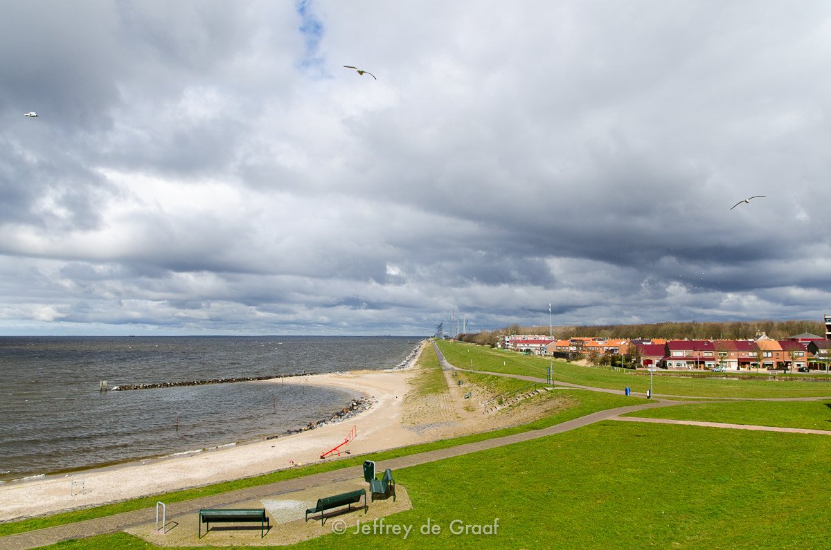
IJsselmeer
Overijsselse Vecht
Waddenzee vastelandskust
Hoogeveensche Vaart
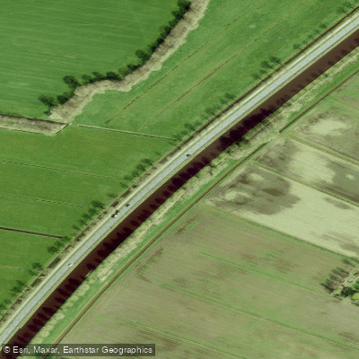
Drentsche Hoofdvaart
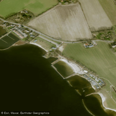
Lutjestrand.
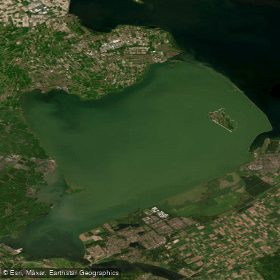
Markermeer
Explore Flevoland waters
Top paddling waters
No waters available right now.
Popular Cities
Loading popular cities...
Explore near Ketelmeer

Smarter Paddling Starts in the App.
Paddleways gives you everything you need to plan smarter, paddle better, and own every trip from first launch to takeout.