Wharekōpae River
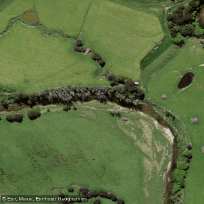
Wharekōpae River
- Boat Ramps
- 0
- Access Points
- 0
- Campsites
- 0
The Wharekōpae River is located in the Gisborne region of New Zealand's North Island. Rising on the slopes of Maungatapere, a 1,050-metre peak at the northeastern end of the Huiarau Range, the river flows generally eastward before joining the Waikohu River near the settlement of Waikohu, west of Te Karaka. The Waikohu is itself a tributary of the Waipaoa River, placing the Wharekōpae within a larger catchment system that drains toward the Poverty Bay Flats.
A flow monitoring station is maintained at Rangimoe, and the river is used for kayaking, packrafting, and rafting, among other activities. Flow rate data, water level readings, and rainfall forecasts for the Rangimoe station are available through online monitoring services, which paddlers can consult when planning trips.
A notable feature along the river is the Rere Rock Slide, a smooth natural rock formation approximately 60 metres long, along with the adjacent Rere Falls. Both are located at Rere and represent significant points of interest along the river corridor. Trout have been introduced to the Wharekōpae and are present in the river, though they are not known to migrate. The river's Māori name translates to "house with a side door," reflecting an unusual feature of traditional Māori dwellings.
Water access, boat ramps & amenities
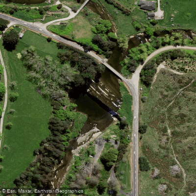
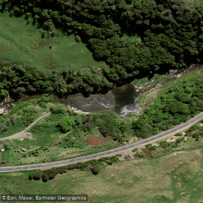
Learn how to get on Wharekōpae River. Uncover great paddling access points, boat ramps, and all the facilities you need for an unforgettable day on the water. Some locations shown may border or include private property. Always check property boundaries and applicable regulations before visiting. PaddleWays's Public & Private Land layer can help you plan your access with confidence.
Paddle smarter with real-time insights
Whether you're en route and conditions shift or you're looking for the best spot based on current flows, we enable you to make informed decisions on the fly.







Gisborne licenses and regulations
No licenses or regulations available for Gisborne.
Find Places to Paddle

Over 400,000 Places to Paddle
Every user gets free access to launch points, boat ramps, and public property parcels.


Water and weather conditions (10 day forecast)
See the best times to paddle Wharekōpae River and check the forecast before you go.
No forecast data available.
Paddling near Wharekōpae River
Waiau River
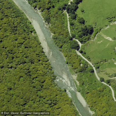
Ruakituri River
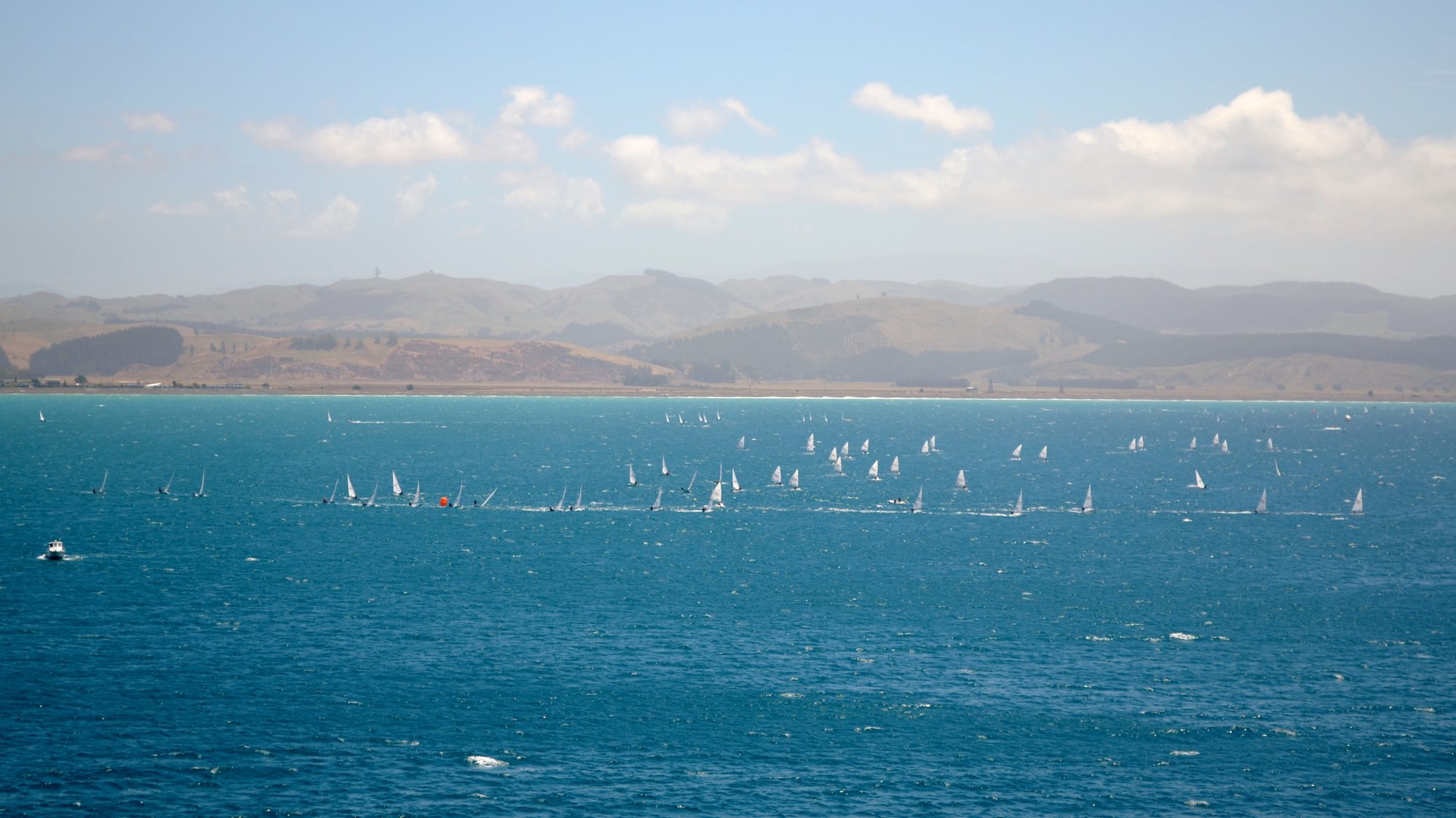
Hawke Bay
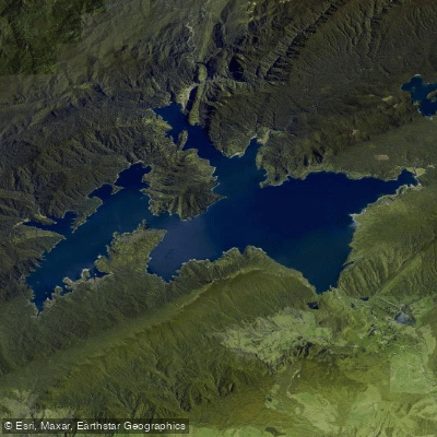
Lake Waikaremoana
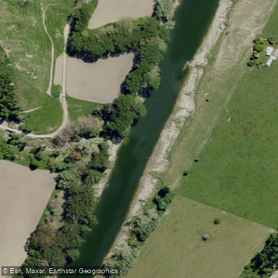
Wairoa River
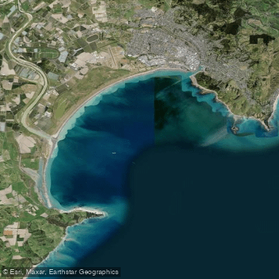
Tūranganui-a-Kiwa / Poverty Bay
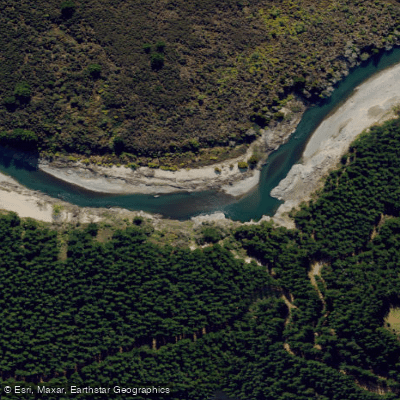
Mohaka River
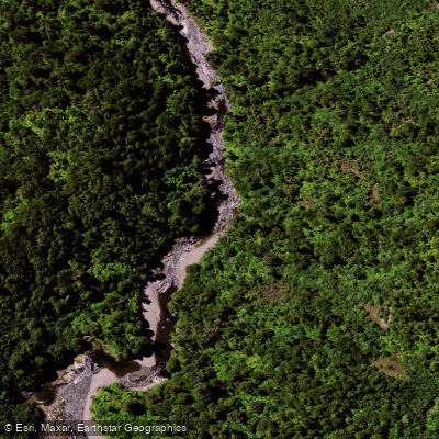
Mōtū River
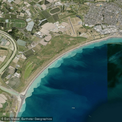
Midway Beach
Mangarangiora Stream
Explore Gisborne waters
Top paddling waters
No waters available right now.
Popular Cities
Loading popular cities...
Explore near Wharekōpae River

Smarter Paddling Starts in the App.
Paddleways gives you everything you need to plan smarter, paddle better, and own every trip from first launch to takeout.