Pohangina River
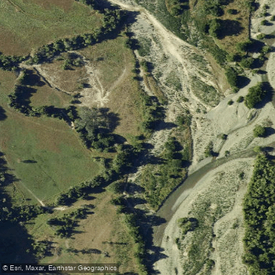
Pohangina River
- Boat Ramps
- 0
- Access Points
- 0
- Campsites
- 3
The Pohangina River flows through the Manawatu region near Palmerston North on New Zealand's North Island, offering several distinct sections suitable for paddlers of varying skill levels. The river divides broadly into lower and upper reaches, each with a markedly different character.
The lower and middle sections run at Grade 2 and are accessible to intermediate paddlers. The primary hazards on these sections are logs and willow trees, which require attentiveness throughout. Several access points serve these reaches. The Piripiri bridge provides river access via small tracks at either end, and a campground sits immediately downstream on the true left bank. Churchill Drive, reached via Pohangina Valley East Road approximately 13 kilometres from Raumai, offers another bridge access point along with a campground and picnic area. These facilities make multi-day trips a practical option on the lower river.
The upper Pohangina is a substantially more serious undertaking, rated Grade 4 with boulder gardens and several Grade 4+ to 5 drops. One short gorge section is noted as unportageable, which is a critical consideration for trip planning. Reaching the upper river requires a walk-in of approximately one and a half hours, and the section is recommended only for advanced kayakers. When the river is in flood, even the lower sections can rise to Grade 4 conditions, at which point only advanced paddlers should be on the water, as rescue of an overturned kayak becomes extremely difficult in high flows.
Current flow information is available through the Horizons Water Line at 0508 435-663, which is worth consulting before any trip. The river sees recreational use beyond paddling, including swimming in summer, particularly at certain pools on the lower reaches.
Water access, boat ramps & amenities
Learn how to get on Pohangina River. Uncover great paddling access points, boat ramps, and all the facilities you need for an unforgettable day on the water. Some locations shown may border or include private property. Always check property boundaries and applicable regulations before visiting. PaddleWays's Public & Private Land layer can help you plan your access with confidence.
Paddle smarter with real-time insights
Whether you're en route and conditions shift or you're looking for the best spot based on current flows, we enable you to make informed decisions on the fly.







Manawatū Whanganui licenses and regulations
No licenses or regulations available for Manawatū Whanganui.
Find Places to Paddle

Over 400,000 Places to Paddle
Every user gets free access to launch points, boat ramps, and public property parcels.


Water and weather conditions (10 day forecast)
See the best times to paddle Pohangina River and check the forecast before you go.
No forecast data available.
Paddling near Pohangina River
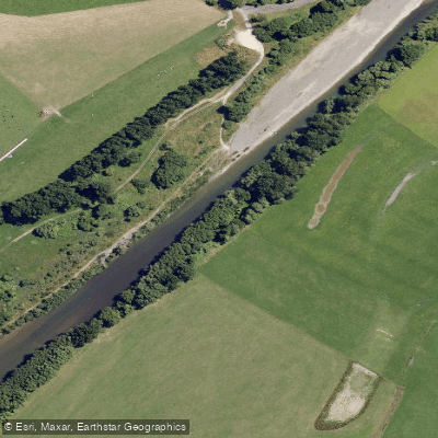
Manawatū River
South Taranaki Bight
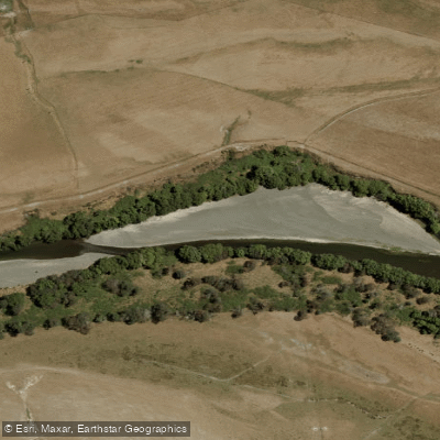
Tukituki River
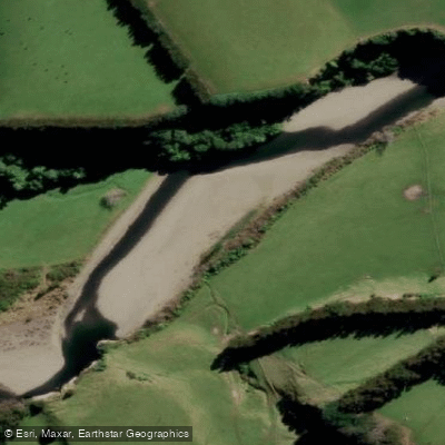
Mangahao River
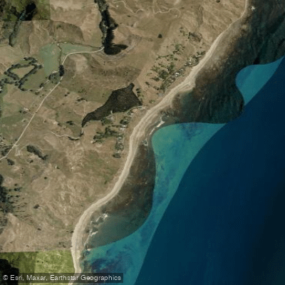
Mangakurī Beach
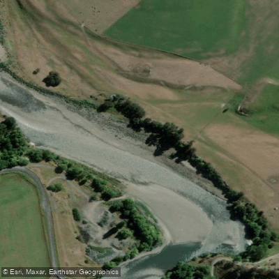
Rangitīkei River
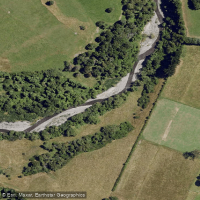
Tamaki River
Castlepoint Beach
Kahuterawa Stream
Explore Manawatū Whanganui waters
Top paddling waters
No waters available right now.
Popular Cities
Loading popular cities...
Explore near Pohangina River

Smarter Paddling Starts in the App.
Paddleways gives you everything you need to plan smarter, paddle better, and own every trip from first launch to takeout.