Rangitīkei River
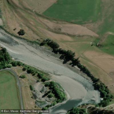
Rangitīkei River
- Boat Ramps
- 0
- Access Points
- 0
- Campsites
- 4
The Rangitīkei River flows through the central North Island of New Zealand, carving its way through the steep papa gorges of the Kaimanawa and Ruahine ranges on its journey to the Tasman Sea. The river is characterized by deeply carved gorges, large papa bluffs, lush native bush clinging to rocky cliffs, and occasional waterfalls cutting through the forest. The Whitecliffs Boulders near Mangaweka are a notable geological feature along the route. The water is generally described as clear, with a rocky riverbed visible in shallower sections.
The river offers multiple distinct sections suited to different skill levels. The upper gorge section around River Valley Lodge runs approximately 10 kilometers with a gradient of 11 meters per kilometer, rated Grade 4 at flows of 25–45 cumecs and Grade 4–5 above 45 cumecs, with most rapids being portage-able. The lodge can be contacted at 06 388-1444 for current level information, and the minimum recommended level is 1.0. The put-in for this section is Matawhero Road where it meets the river, with the take-out at River Valley Lodge.
Further downstream, the Utiku to Mangaweka section is a popular beginners' trip rated Grade 2, taking roughly 2–3 hours. The put-in is at Toetoe Road at the Utiku River bridge, with the take-out at the Mangaweka Campground. Below River Valley, there are also several sections down to Omatane and Utiku that form a well-used multi-day route by raft, canoe, and kayak, though paddlers should be prepared for a couple of harder rapids near River Valley that may require portaging.
The lower reaches below Vinegar Hill toward Tangimoana become shallow, easy, and braided, and are considered more suitable for sea kayaks. Paddlers should be aware that some rapids in this section may have narrow entries that could lead into trees.
The river is used extensively for multi-day trips, with guided canoe tours of one to four days available through commercial operators. Campsites along the river are described as quiet. The rapids throughout the main touring sections are predominantly Grade 1 and 2. Flow information is available through the Horizons Water Line at 0508 435-663, and a webcam at Mangaweka provides additional reference.
Water access, boat ramps & amenities
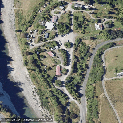
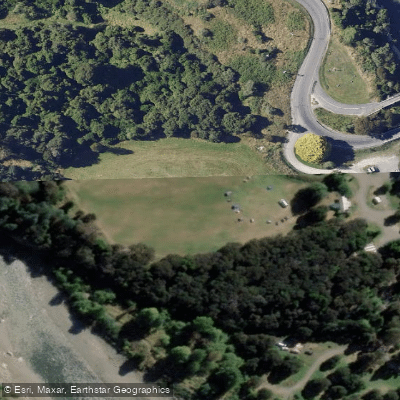
Learn how to get on Rangitīkei River. Uncover great paddling access points, boat ramps, and all the facilities you need for an unforgettable day on the water. Some locations shown may border or include private property. Always check property boundaries and applicable regulations before visiting. PaddleWays's Public & Private Land layer can help you plan your access with confidence.
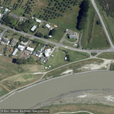
Paddle smarter with real-time insights
Whether you're en route and conditions shift or you're looking for the best spot based on current flows, we enable you to make informed decisions on the fly.







Manawatū Whanganui licenses and regulations
No licenses or regulations available for Manawatū Whanganui.
Find Places to Paddle

Over 400,000 Places to Paddle
Every user gets free access to launch points, boat ramps, and public property parcels.


Water and weather conditions (10 day forecast)
See the best times to paddle Rangitīkei River and check the forecast before you go.
No forecast data available.
Paddling near Rangitīkei River
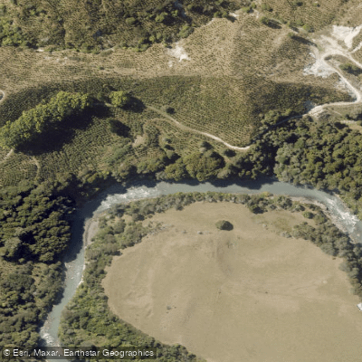
Whangaehu River
South Taranaki Bight

Whanganui River
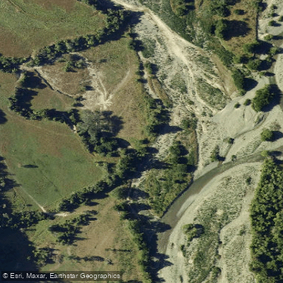
Pohangina River
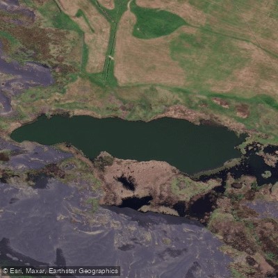
Tapuarau Lagoon
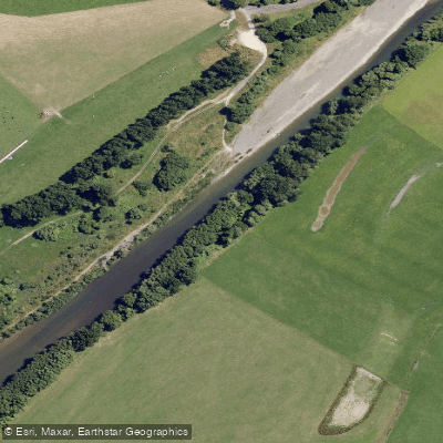
Manawatū River
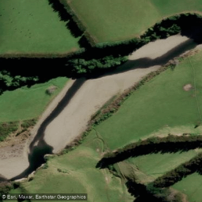
Mangahao River
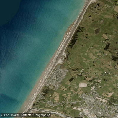
Otaki Beach
Kahuterawa Stream
Explore Manawatū Whanganui waters
Top paddling waters
No waters available right now.
Popular Cities
Loading popular cities...
Explore near Rangitīkei River

Smarter Paddling Starts in the App.
Paddleways gives you everything you need to plan smarter, paddle better, and own every trip from first launch to takeout.