Mangahao River
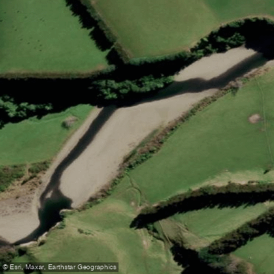
Mangahao River
- Boat Ramps
- 0
- Access Points
- 0
- Campsites
- 0
The Mangahao River in New Zealand's North Island offers a substantial whitewater run rated Class 3-4, covering 18 kilometres at a gradient of 9 metres per kilometre. Recommended flows range from 15 to 50 cumecs, and the river is best assessed visually before committing to a run. At typical flows, the trip takes between 4.5 and 8 hours, making it a full-day commitment that requires a shuttle driver given the 87-kilometre shuttle distance.
The put-in is located at Mangahao Reservoir No. 2, and the take-out is at the Mangahao Road bridge west of Hukanui. Relevant maps are S25 and T24. The river's character is described as single-channel with small gorges and scenic surroundings.
Separate from the river run, the Mangahao National White Water Centre is located at 355 Mangahao Road, Shannon, and functions as a dedicated slalom site. This section is classed as Grade 3 and flows most days throughout the year, fed by releases from the Mangahao Power Station, which typically operates in the mornings and evenings. The slalom site requires a minimum flow of around 12–15 cumecs from the Mangaore Stream. Flow information can be obtained via a dedicated flow phone. Access FOBs are available for paddlers who want to use the hot showers, toilets, and floodlights for night paddling, with FOBs previously available through Bivouac in Palmerston North. The site has gates set up and is noted as a useful venue for practicing or playing on tight and technical water.
The power station section below the dam is described as tight and technical, with the put-in directly below the power station and the take-out on river left by a concrete block exit. Missing the take-out leads into the longer river trip downstream, so a shuttle should be arranged if that is the intention.
Water access, boat ramps & amenities
Learn how to get on Mangahao River. Uncover great paddling access points, boat ramps, and all the facilities you need for an unforgettable day on the water. Some locations shown may border or include private property. Always check property boundaries and applicable regulations before visiting. PaddleWays's Public & Private Land layer can help you plan your access with confidence.
Paddle smarter with real-time insights
Whether you're en route and conditions shift or you're looking for the best spot based on current flows, we enable you to make informed decisions on the fly.







Manawatū Whanganui licenses and regulations
No licenses or regulations available for Manawatū Whanganui.
Find Places to Paddle

Over 400,000 Places to Paddle
Every user gets free access to launch points, boat ramps, and public property parcels.


Water and weather conditions (10 day forecast)
See the best times to paddle Mangahao River and check the forecast before you go.
No forecast data available.
Paddling near Mangahao River
Manawatū River
South Taranaki Bight
Pohangina River
Kahuterawa Stream
Castlepoint Beach
Ruamāhanga River
Waingawa River
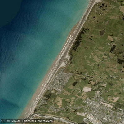
Otaki Beach
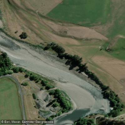
Rangitīkei River
Explore Manawatū Whanganui waters
Top paddling waters
No waters available right now.
Popular Cities
Loading popular cities...
Explore near Mangahao River

Smarter Paddling Starts in the App.
Paddleways gives you everything you need to plan smarter, paddle better, and own every trip from first launch to takeout.