Ruamāhanga River
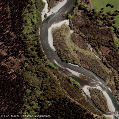
Ruamāhanga River
- Boat Ramps
- 0
- Access Points
- 0
- Campsites
- 0
The Ruamāhanga River is the principal waterway of the Wairarapa region in the Wellington area of New Zealand's North Island. It flows from the Tararua Ranges through the Wairarapa valley before reaching Lake Onoke near the coast, offering paddlers a range of experiences from upper backcountry reaches to a tidal zone near its outlet.
Speed restrictions are in place along various sections of the river and are managed through a colour-coded band system administered by Maritime NZ. The uppermost section, upstream from Te Ore Ore Road bridge (the green band), has no speed restrictions and paddlers may travel at any speed safe for conditions year-round. Between Te Ore Ore Road bridge and Te Whiti Road bridge (the red band), a permanent 5-knot speed limit applies at all times with no seasonal exceptions. The section between Te Whiti Road bridge and Gladstone Road bridge, which also includes the Waingawa River between State Highway 2 and the Ruamāhanga (the yellow band), has a 5-knot limit from 1 October to 14 May each year. Further downstream, from the Ruamāhanga–Huangarua River junction to the Gladstone Road bridge (the blue band), a 5-knot limit applies from 15 August to 31 October and during the week before and after the opening of duck-hunting season.
Access to most parts of the river is relatively straightforward due to the close proximity of roads along much of its length. One notable access point and facility is the Ruamahanga River Boat Club and barrage gates area, reached via the East West Access Road off Kahutara Road, approximately 500 metres before the Tuhitarata Bridge. This site includes a toilet block, running water, camping space, and boat launching facilities. The Geoffrey Blundell barrage gates are located 400 metres past the boat club, from which paddlers can access the river on the eastern side of the channel. At Wardells Bridge on Te Whiti Road, roadside parking is available on the eastern side of the bridge, with access to the river via a stile, though this is private land and visitors should stay on the track.
A flow monitoring station is located at Waihenga Bridge, where the river is used for kayaking, packrafting, rafting, fishing, and jet boating.
Water access, boat ramps & amenities
Learn how to get on Ruamāhanga River. Uncover great paddling access points, boat ramps, and all the facilities you need for an unforgettable day on the water. Some locations shown may border or include private property. Always check property boundaries and applicable regulations before visiting. PaddleWays's Public & Private Land layer can help you plan your access with confidence.
Paddle smarter with real-time insights
Whether you're en route and conditions shift or you're looking for the best spot based on current flows, we enable you to make informed decisions on the fly.







Wellington licenses and regulations
No licenses or regulations available for Wellington.
Find Places to Paddle

Over 400,000 Places to Paddle
Every user gets free access to launch points, boat ramps, and public property parcels.


Water and weather conditions (10 day forecast)
See the best times to paddle Ruamāhanga River and check the forecast before you go.
Kopuaranga River at Stuarts
All Flow Stations
Paddling near Ruamāhanga River
Waingawa River
South Taranaki Bight
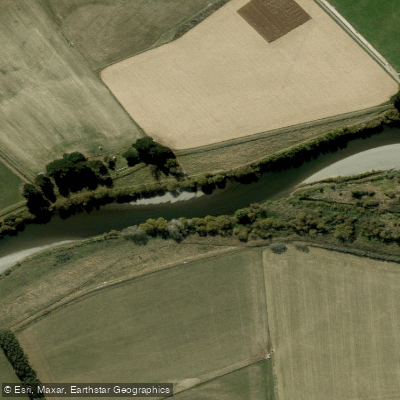
Ruamahanga River
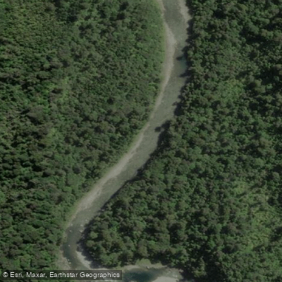
Waiohine River
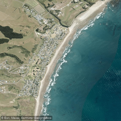
Riversdale Beach
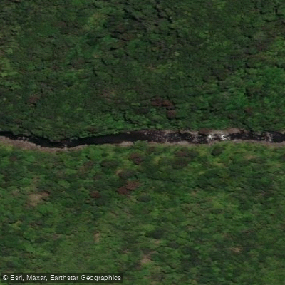
Tauwharenīkau River
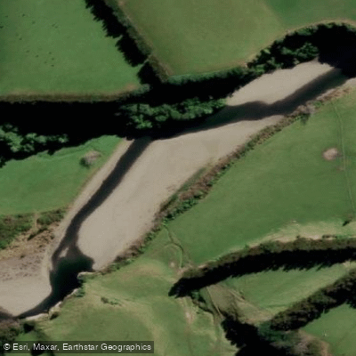
Mangahao River
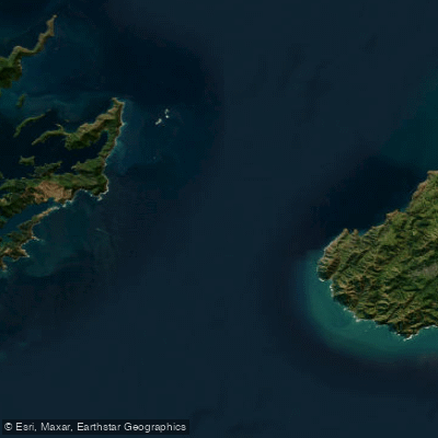
Te Moana-o-Raukawa / Cook Strait
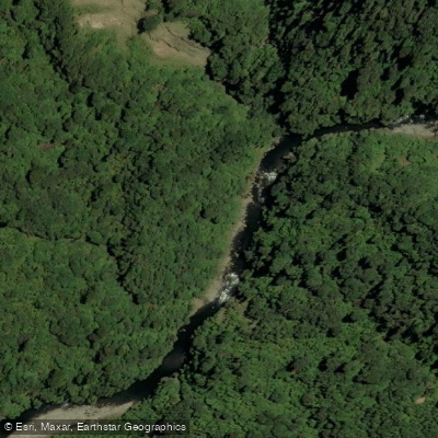
Ōtaki River
Explore Wellington waters
Top paddling waters
No waters available right now.
Popular Cities
Loading popular cities...
Explore near Ruamāhanga River

Smarter Paddling Starts in the App.
Paddleways gives you everything you need to plan smarter, paddle better, and own every trip from first launch to takeout.