Mangaokewa Stream
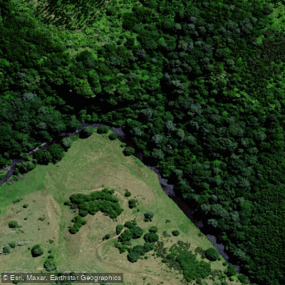
Mangaokewa Stream
- Boat Ramps
- 0
- Access Points
- 0
- Campsites
- 2
The Mangaokewa Stream is a tributary of the Waipa River in the Waikato region of New Zealand's North Island, flowing through the area around Te Kuiti. The stream has two notably different characters depending on the section. The upper reaches pass through an extensive area of native forest and are described as very scenic. Access to this portion is off Mangaokewa Road and from the Mangaokewa Reserve, located just south of Te Kuiti, where a walkway follows the stream for 14 kilometres upstream.
The lower reaches, from Te Kuiti downstream to the confluence with the Waipa River, are slow and sluggish in character, and the water tends to run discoloured. The banks along this section are lined with willows, which restricts access and could present obstacles for paddlers navigating close to shore.
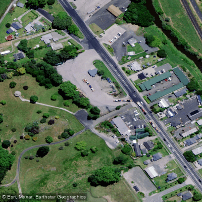
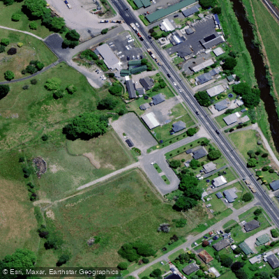
The Mangaokewa Reserve and its associated walkway represent the primary developed access point in the area. Beyond this, access to the upper headwaters crosses private land, and landowner permission is typically required to enter those reaches.
Note that this stream is documented primarily in a fishing context, and paddling-specific details such as put-in and take-out logistics, hazard assessments, flow data, and facilities for paddlers are not well documented in publicly available resources. Paddlers planning a trip should seek current local knowledge before launching.
Water access, boat ramps & amenities
Learn how to get on Mangaokewa Stream. Uncover great paddling access points, boat ramps, and all the facilities you need for an unforgettable day on the water. Some locations shown may border or include private property. Always check property boundaries and applicable regulations before visiting. PaddleWays's Public & Private Land layer can help you plan your access with confidence.
Paddle smarter with real-time insights
Whether you're en route and conditions shift or you're looking for the best spot based on current flows, we enable you to make informed decisions on the fly.







Waikato licenses and regulations
No licenses or regulations available for Waikato.
Find Places to Paddle

Over 400,000 Places to Paddle
Every user gets free access to launch points, boat ramps, and public property parcels.


Water and weather conditions (10 day forecast)
See the best times to paddle Mangaokewa Stream and check the forecast before you go.
No forecast data available.
Paddling near Mangaokewa Stream
Waikato River
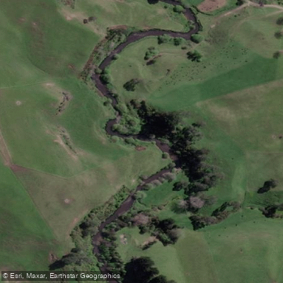
Pokaiwhenua Stream
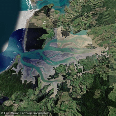
Kāwhia Harbour
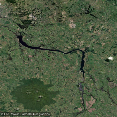
Lake Kārapiro
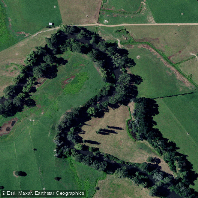
Waihou River
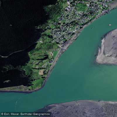
Karewa Beach
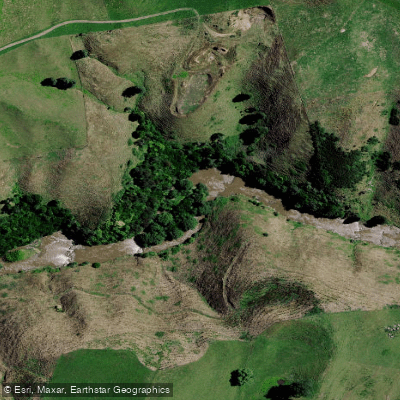
Mōkau River
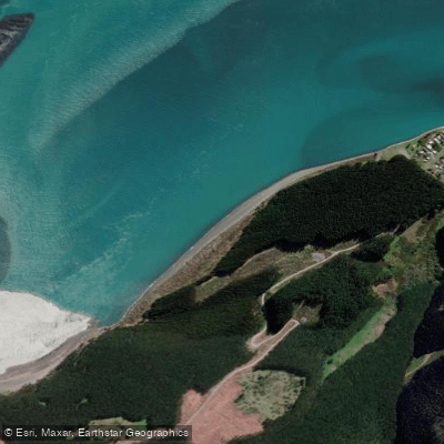
Maukutea Beach
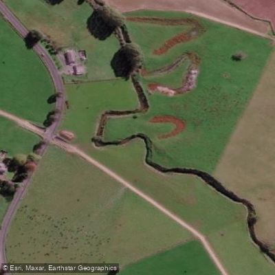
Mangawhero Stream
Explore Waikato waters
Top paddling waters
No waters available right now.
Popular Cities
Loading popular cities...
Explore near Mangaokewa Stream

Smarter Paddling Starts in the App.
Paddleways gives you everything you need to plan smarter, paddle better, and own every trip from first launch to takeout.