Pokaiwhenua Stream
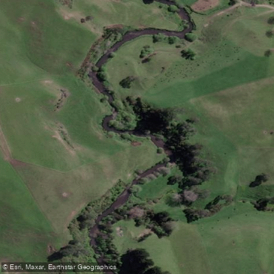
Pokaiwhenua Stream
- Boat Ramps
- 0
- Access Points
- 0
- Campsites
- 0
Pokaiwhenua Stream is a tributary that flows into the southern end of Lake Karapiro in the Waikato region of New Zealand's North Island. The stream originates in the hills near the Mamaku Plateau, the same area that feeds the Putaruru Blue Spring, and carves a canyon through the landscape before meeting the lake. The lower section of the stream is accessible from Horahora Road near the mouth, with foot access available from the Aniwanawa Reserve on Horahora Road. Two additional road crossings exist further upstream: the Arapuni-Putaruru Road near a waterfall, and the Old Taupo Road a few kilometres above the waterfall.
The primary paddling experience involves launching from the Lake Karapiro area and paddling up into the canyon carved by the stream over hundreds of years. The canyon is characterised by dense native ferns and large trees whose canopy extends over the water, creating an enclosed, shaded environment. Birdsong is a consistent feature of the experience. The current in the stream means that the return journey downstream requires little to no paddling effort, while paddlers heading back across the lake may encounter wind depending on conditions.
Tours operate year-round, with daytime departures and twilight options available through local operators. The twilight tours take advantage of glowworm (titiwai) populations visible along the canyon walls after dark. Guided tours typically cover the southern edge of Lake Karapiro, passing over the site of the submerged Horahora Village and an old dam that once generated electricity for the Waihi goldfields, before entering the stream canyon.
Paddlers on the lake and stream are required to wear a PFD at all times and carry at least one form of waterproof communications, such as a mobile phone in a dry bag. Stand-up paddleboards used in surf conditions are exempt from the communications requirement provided the paddler is leashed to the board. The stream is also a designated fishing waterway open year-round under Auckland/Waikato regulations, so paddlers may encounter anglers, particularly in the lower reaches and around the stream mouth where larger fish are present.
Water access, boat ramps & amenities
Learn how to get on Pokaiwhenua Stream. Uncover great paddling access points, boat ramps, and all the facilities you need for an unforgettable day on the water. Some locations shown may border or include private property. Always check property boundaries and applicable regulations before visiting. PaddleWays's Public & Private Land layer can help you plan your access with confidence.
Paddle smarter with real-time insights
Whether you're en route and conditions shift or you're looking for the best spot based on current flows, we enable you to make informed decisions on the fly.







Waikato licenses and regulations
No licenses or regulations available for Waikato.
Find Places to Paddle

Over 400,000 Places to Paddle
Every user gets free access to launch points, boat ramps, and public property parcels.


Water and weather conditions (10 day forecast)
See the best times to paddle Pokaiwhenua Stream and check the forecast before you go.
No forecast data available.
Paddling near Pokaiwhenua Stream
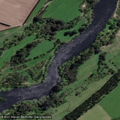
Waikato River
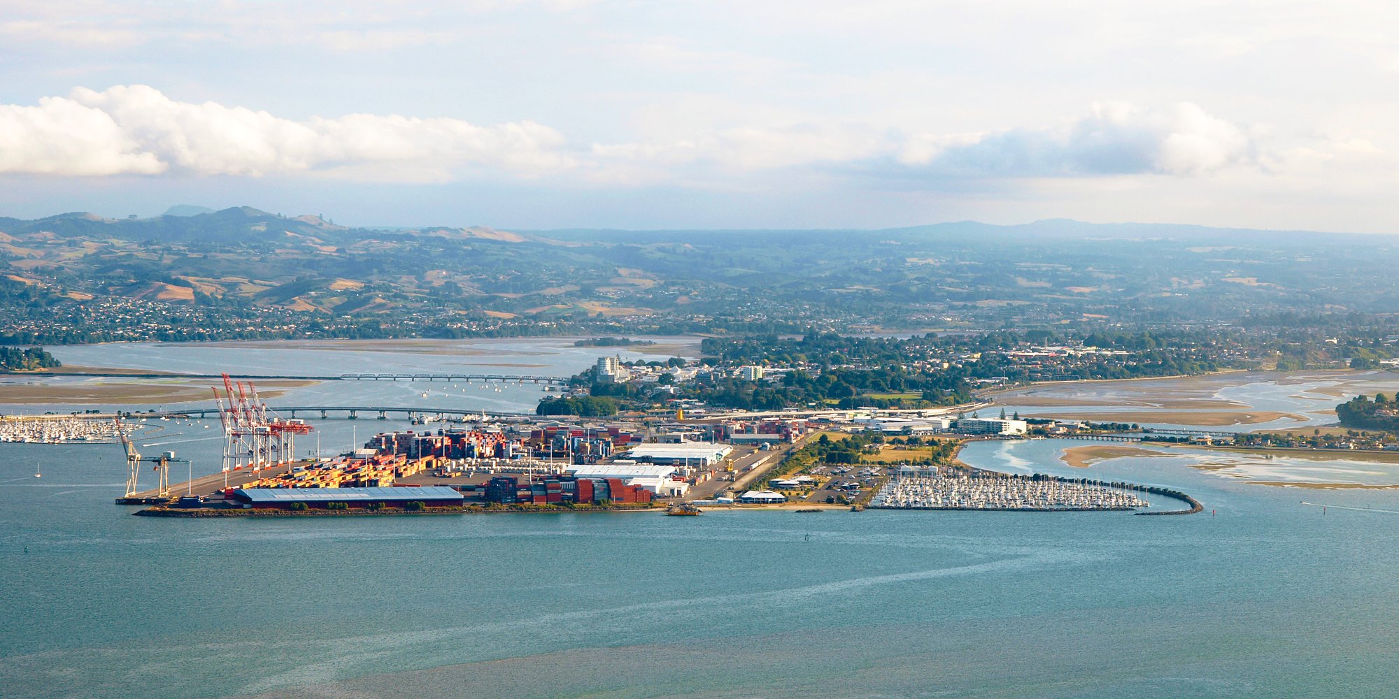
Tauranga Harbour
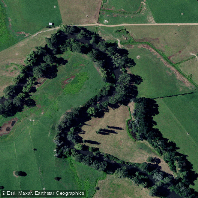
Waihou River
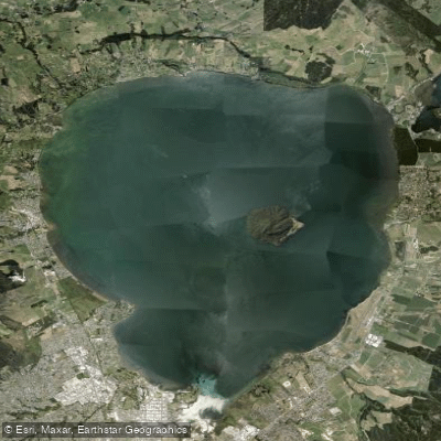
Lake Rotorua / Te Rotorua Nui Ā Kahumatamomoe
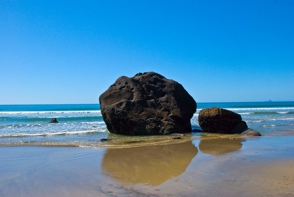
Bay of Plenty
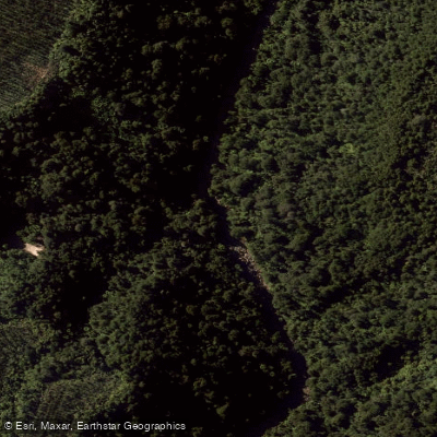
Opuiaki River
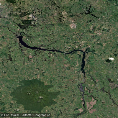
Lake Kārapiro
Western Channel
Ōngarue River
Explore Waikato waters
Top paddling waters
No waters available right now.
Popular Cities
Loading popular cities...
Explore near Pokaiwhenua Stream

Smarter Paddling Starts in the App.
Paddleways gives you everything you need to plan smarter, paddle better, and own every trip from first launch to takeout.