Mangawhero Stream
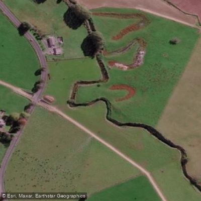
Mangawhero Stream
- Boat Ramps
- 0
- Access Points
- 0
- Campsites
- 0
The Mangawhero River drains the south-western slopes of Mount Ruapehu in the North Island of New Zealand, originating near the Tūroa skifield at approximately 1,800 metres elevation and running roughly 130 kilometres before joining the Whangaehu River about 7 kilometres south-west of Mangamahu. The river passes through the town of Ohakune, where recreational areas including walking and cycling trails line its banks.
One notable feature for paddlers is Raukawa Falls, which drops approximately 14 to 15 metres on the Mangawhero River. The falls have been kayaked, though the drop is significant and demands careful assessment before any attempt. A flow monitoring station exists at Pakihi Rd Bridge, where kayaking is recorded as a recognised activity, suggesting this stretch sees paddling use. Real-time and historical flow data for this station is available through online monitoring services, which can assist in trip planning.
South-west of Ohakune, the river transitions to a meandering character across flat farmland for around 10 kilometres, a stretch noted primarily for brown trout fishing rather than whitewater paddling.
Paddlers should be aware of water quality considerations on this river. Treated wastewater from the Ohakune Wastewater Treatment Plant is discharged into the Mangawhero River, and a historical incident in September 1979 saw up to 17,000 litres of heating oil enter the river from the Turoa ski field. The river's Māori name, Mangawhero, translates to "red stream," a reference to the water's historical appearance.
The Mangawhero Campground near Ohakune, located within Tongariro National Park, provides nearby accommodation for those planning multi-day trips in the area.
Water access, boat ramps & amenities
Learn how to get on Mangawhero Stream. Uncover great paddling access points, boat ramps, and all the facilities you need for an unforgettable day on the water. Some locations shown may border or include private property. Always check property boundaries and applicable regulations before visiting. PaddleWays's Public & Private Land layer can help you plan your access with confidence.
Paddle smarter with real-time insights
Whether you're en route and conditions shift or you're looking for the best spot based on current flows, we enable you to make informed decisions on the fly.







Waikato licenses and regulations
No licenses or regulations available for Waikato.
Find Places to Paddle

Over 400,000 Places to Paddle
Every user gets free access to launch points, boat ramps, and public property parcels.


Water and weather conditions (10 day forecast)
See the best times to paddle Mangawhero Stream and check the forecast before you go.
No forecast data available.
Paddling near Mangawhero Stream
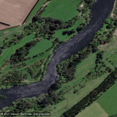
Waikato River
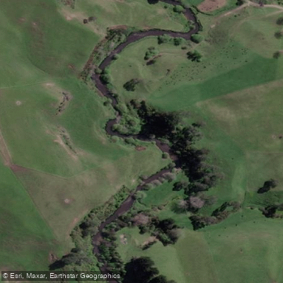
Pokaiwhenua Stream
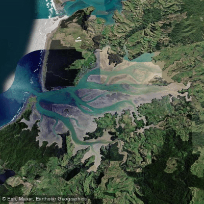
Kāwhia Harbour
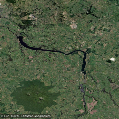
Lake Kārapiro
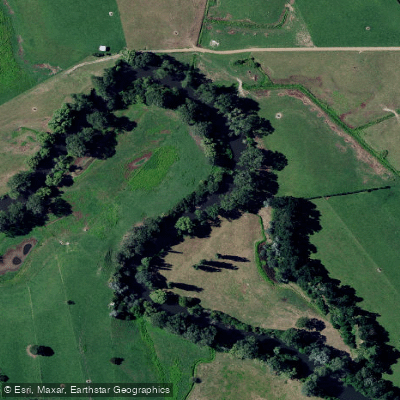
Waihou River
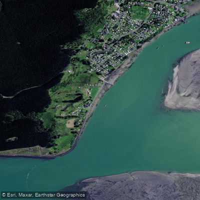
Karewa Beach
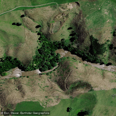
Mōkau River
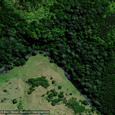
Mangaokewa Stream
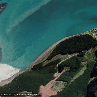
Maukutea Beach
Explore Waikato waters
Top paddling waters
No waters available right now.
Popular Cities
Loading popular cities...
Explore near Mangawhero Stream

Smarter Paddling Starts in the App.
Paddleways gives you everything you need to plan smarter, paddle better, and own every trip from first launch to takeout.