Ngarunui Beach
- Saltwater
- Beach
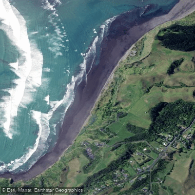
Ngarunui Beach
- Saltwater
- Beach
- Sq. miles
- 0.3
- Boat Ramps
- 0
- Access Points
- 0
- Campsites
- 0
Ngarunui Beach, often called Ocean Beach, is a long, wide black-sand beach on the Waikato west coast near Raglan. It is a prominent surfing destination with a sand bottom and consistent swell, making it a popular spot for surf schools and beginner surfers. For paddlers launching kayaks or SUPs from shore, the main access is via Ngarunui Beach Road off Wainui Road. This leads to a clifftop car park adjacent to the surf lifesaving clubhouse, which offers ample parking. From this main car park, a sealed path provides a roughly five-minute walk down to the beach. The beach itself is several kilometres long, bordered by cliffs and steep hills, with a characteristically soft volcanic black sand. The central section is patrolled by lifeguards from October to April, which can be a safety consideration for swimming. The beach faces a southwest orientation, making it a strong swell magnet that is exposed to wind and waves from the Tasman Sea. This exposure means conditions can be punchy, and the shore break can be significant, requiring careful assessment for launching and landing. The beach's open aspect offers expansive views of Mount Karioi on the horizon and the Tasman Sea. Facilities at the main access include toilets, changing facilities, and surf equipment rentals. The hilltop car park area features the Four Compass Directions Sculpture and provides scenic lookout points, popular for sunset viewing. The adjacent Wainui Reserve offers marked walking tracks. While the beach is a known surfing area, paddlers can use it as a launch point for coastal exploration, though attention must be paid to the surf conditions, swell, and potential for strong winds. The water quality is generally suitable for swimming, and the beach is a relatively safe swimming location for a west coast beach, safest during an incoming tide.
Water access, boat ramps & amenities
Learn how to get on Ngarunui Beach. Uncover great paddling access points, boat ramps, and all the facilities you need for an unforgettable day on the water. Some locations shown may border or include private property. Always check property boundaries and applicable regulations before visiting. PaddleWays's Public & Private Land layer can help you plan your access with confidence.
Paddle smarter with real-time insights
Whether you're en route and conditions shift or you're looking for the best spot based on current flows, we enable you to make informed decisions on the fly.







Waikato licenses and regulations
No licenses or regulations available for Waikato.
Find Places to Paddle

Over 400,000 Places to Paddle
Every user gets free access to launch points, boat ramps, and public property parcels.


Tides, wind & water conditions (10 day forecast)
On open water, wind and tide matter as much as the weather. See the best times to paddle Ngarunui Beach and check the marine forecast before you launch.
Loading tide predictions…
Paddling near Ngarunui Beach
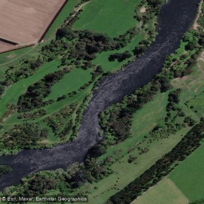
Waikato River
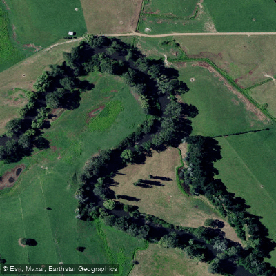
Waihou River
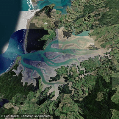
Kāwhia Harbour
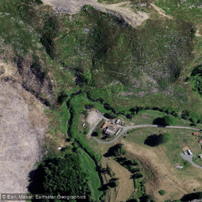
Waingaro River
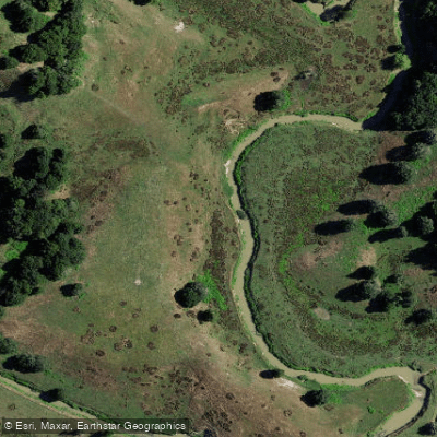
Opuatia Stream
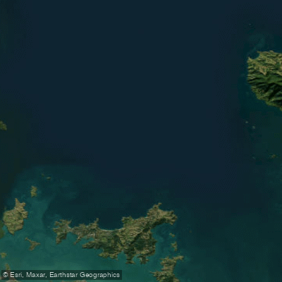
Hauraki Gulf / Tīkapa Moana
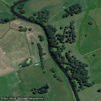
Piako River
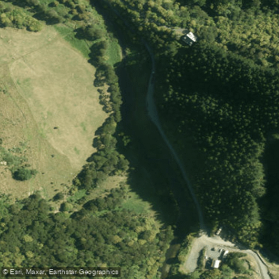
Wairoa River
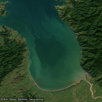
Firth of Thames
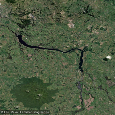
Lake Kārapiro
Explore Waikato waters
Top paddling waters
No waters available right now.
Popular Cities
Loading popular cities...
Explore near Ngarunui Beach

Smarter Paddling Starts in the App.
Paddleways gives you everything you need to plan smarter, paddle better, and own every trip from first launch to takeout.