Jamie V.
3,190 cfs at Remmel Dam
 +3
Curated by PaddleWays
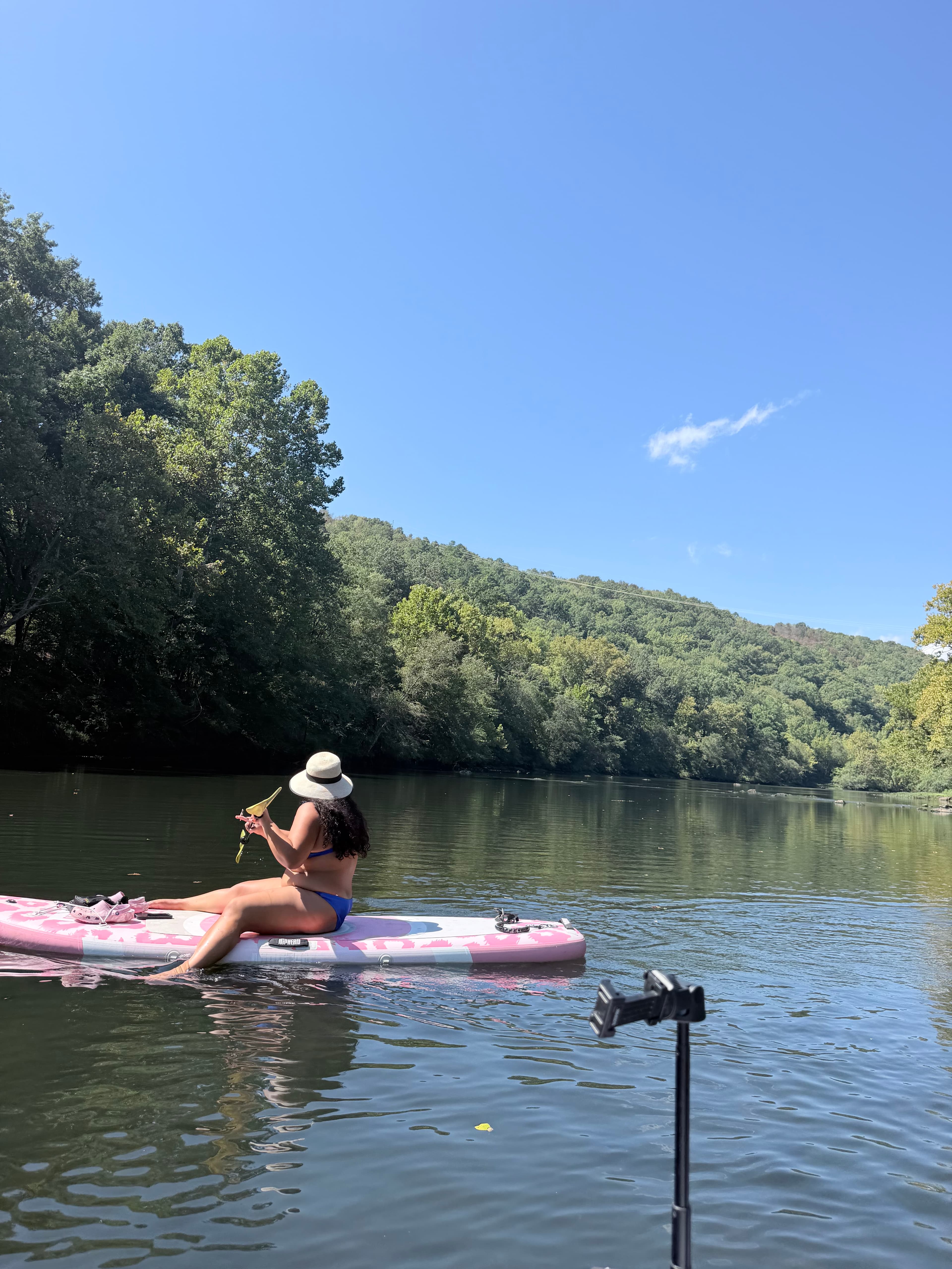
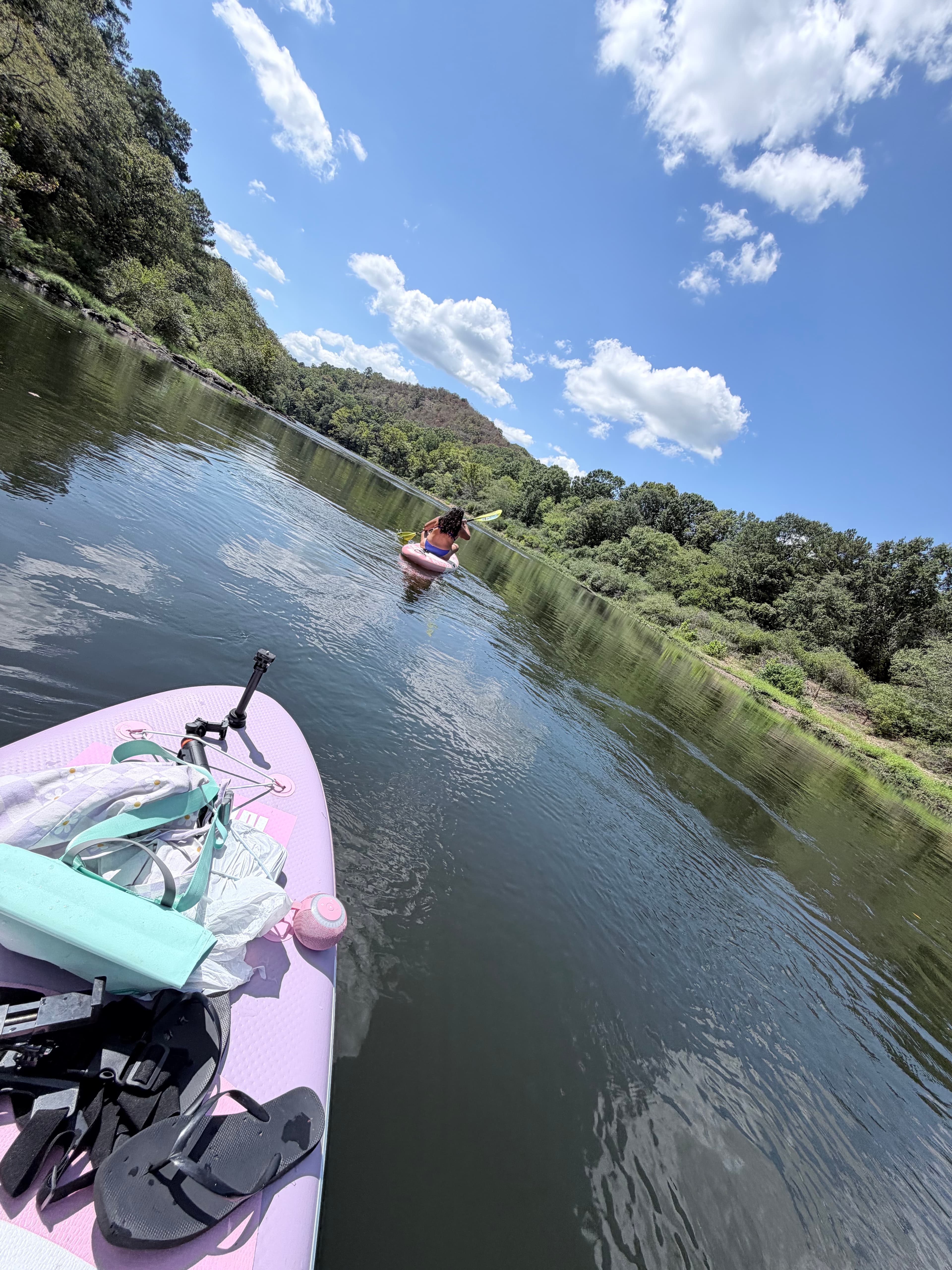
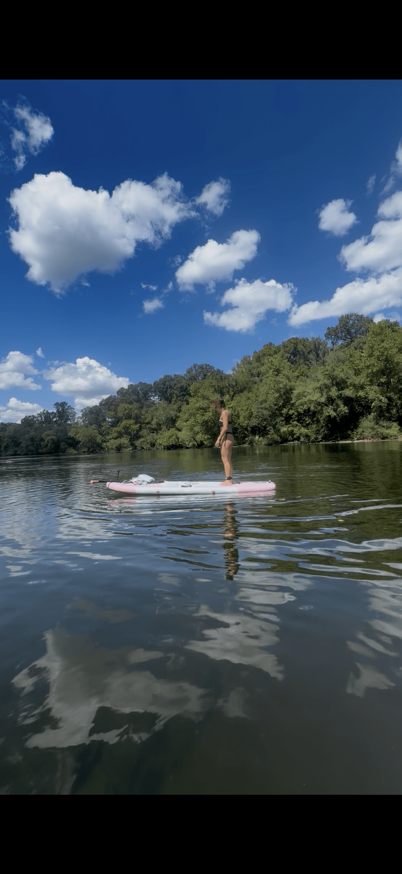
5.4 mi flatwater route on the Ouachita River in Arkansas
Level right now
Recommended level from American Whitewater, on the gauge at Remmel Dam.
Route facts
About this route
This popular 5.4-mile stretch of the Ouachita River is suitable for beginners and intermediate paddlers alike. The put-in is located at Remmel Dam, which can be accessed via Remmel Dam Road.
The take-out is at the Ouachita River Whitewater Park in Malvern, just upstream of the I-30 bridge. This section is known for its recreational flows, which typically occur on weekends from noon to 5 p.m., Saturdays and Sundays through Labor Day.
These releases create ideal conditions for paddling and play. The final rapid at the Whitewater Park offers a more challenging finish to the trip.
For the best experience, it's recommended to be on the river at least two hours before the end of the recreational flow window, usually by 3 p.m. Paddlers looking for a shorter trip can take out at Rockport Ledge, about 350 yards upstream from the I-30 bridge.
Put-in and take-out
Put-in
Take-out
Hazards
No hazards are marked on this route yet. That is not the same as none being there: if you find one, report it for the next paddler.
From the community
Real trips from PaddleWays paddlers who ran this route: how the flows were, and what to watch for.
Loading trip reports
Jamie V.
3,190 cfs at Remmel Dam
+3The gauges near this route and the forecast where it starts, so you can pick your day.
No forecast data available.
Same water
The other curated routes on the Ouachita River, each with how it is running now.
RouteClass I–II
RouteClass I–II
RouteClass I–II
RouteFlatwater
Close by
Curated routes on other waters within an hour or so, nearest first.
on Saline River · 20 mi away
RouteFlatwater
on Caddo River · 20 mi away
RouteFlatwater
RouteClass II–III
on Caddo River · 36 mi away
RouteClass II–III
on Rock Creek · 36 mi away
RouteClass II–III
on Little Maumelle River · 37 mi away
RouteFlatwater
PaddleWays gives you everything you need to plan smarter, paddle better, and own every trip from first launch to takeout.
