Curated by PaddleWays
RouteFlatwater
- Distance
- 8.3 mi
- Paddle time
- ~3 hrs
- Best for
- Kayak, canoe
- Put-in → take-out
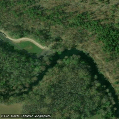
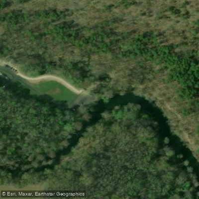
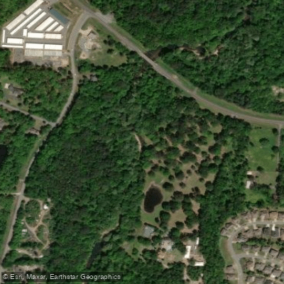
- Pinnacle Mountain Boat Ramp → Arkansas Rivers Boat Ramp
Dangerous trees during high water
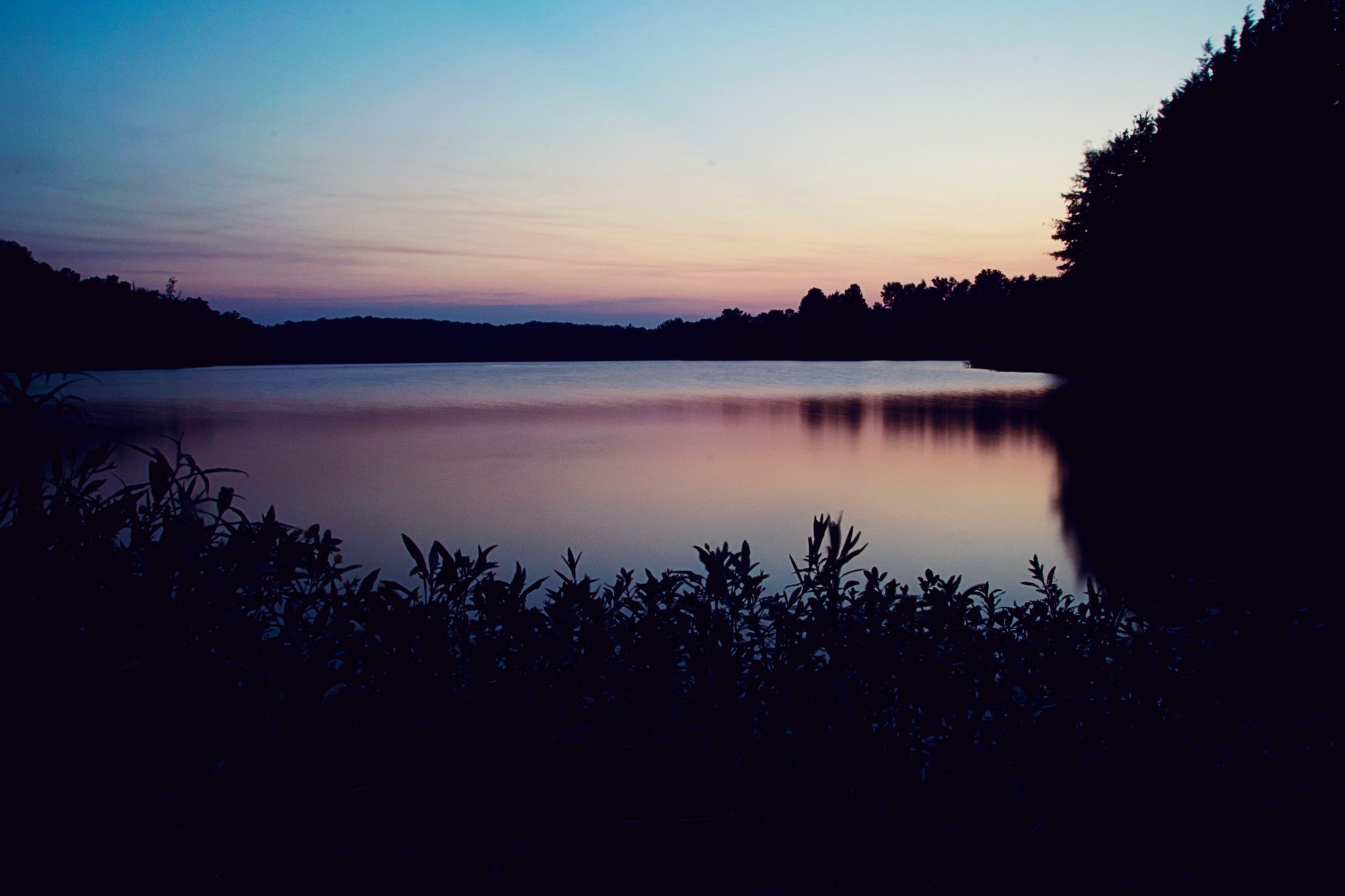
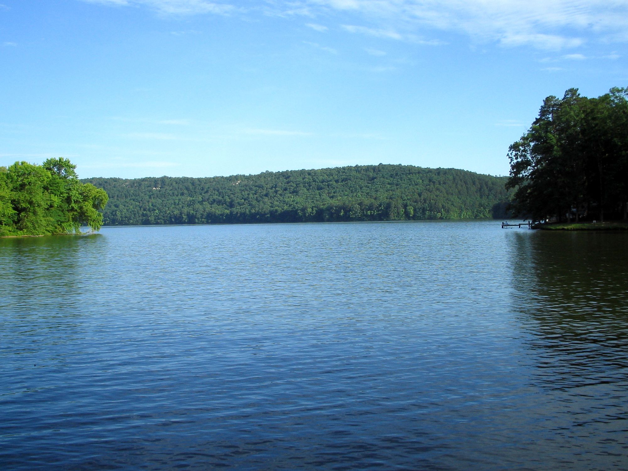
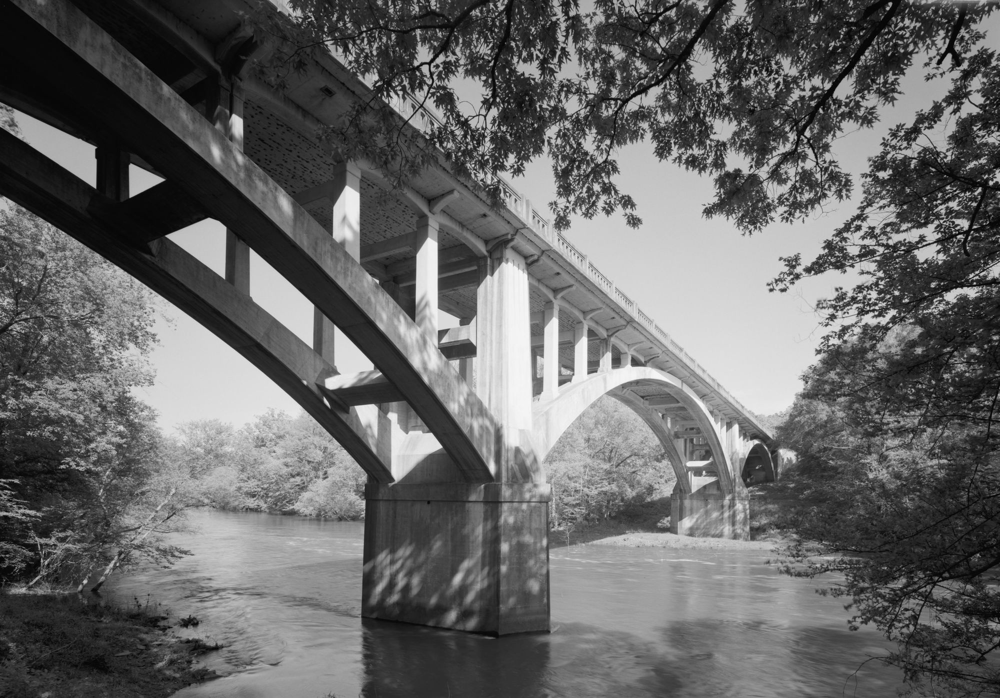
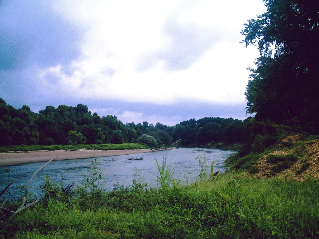
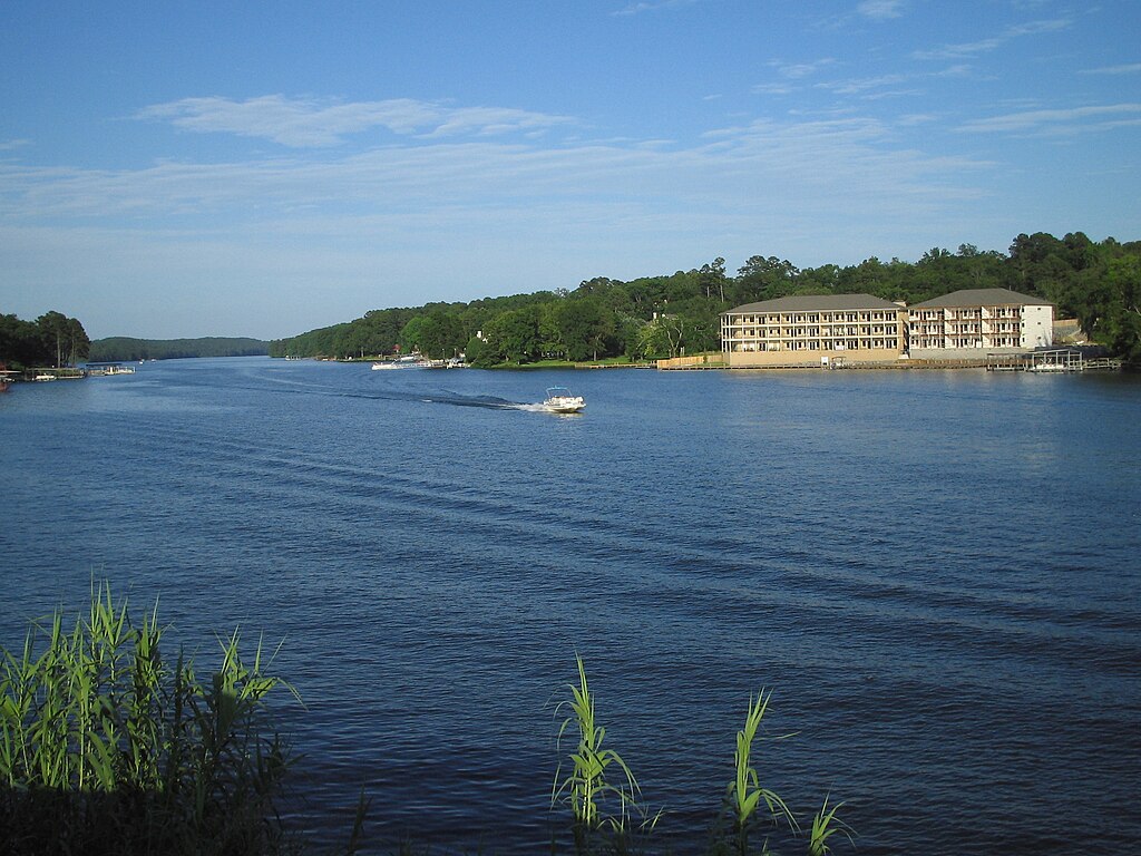
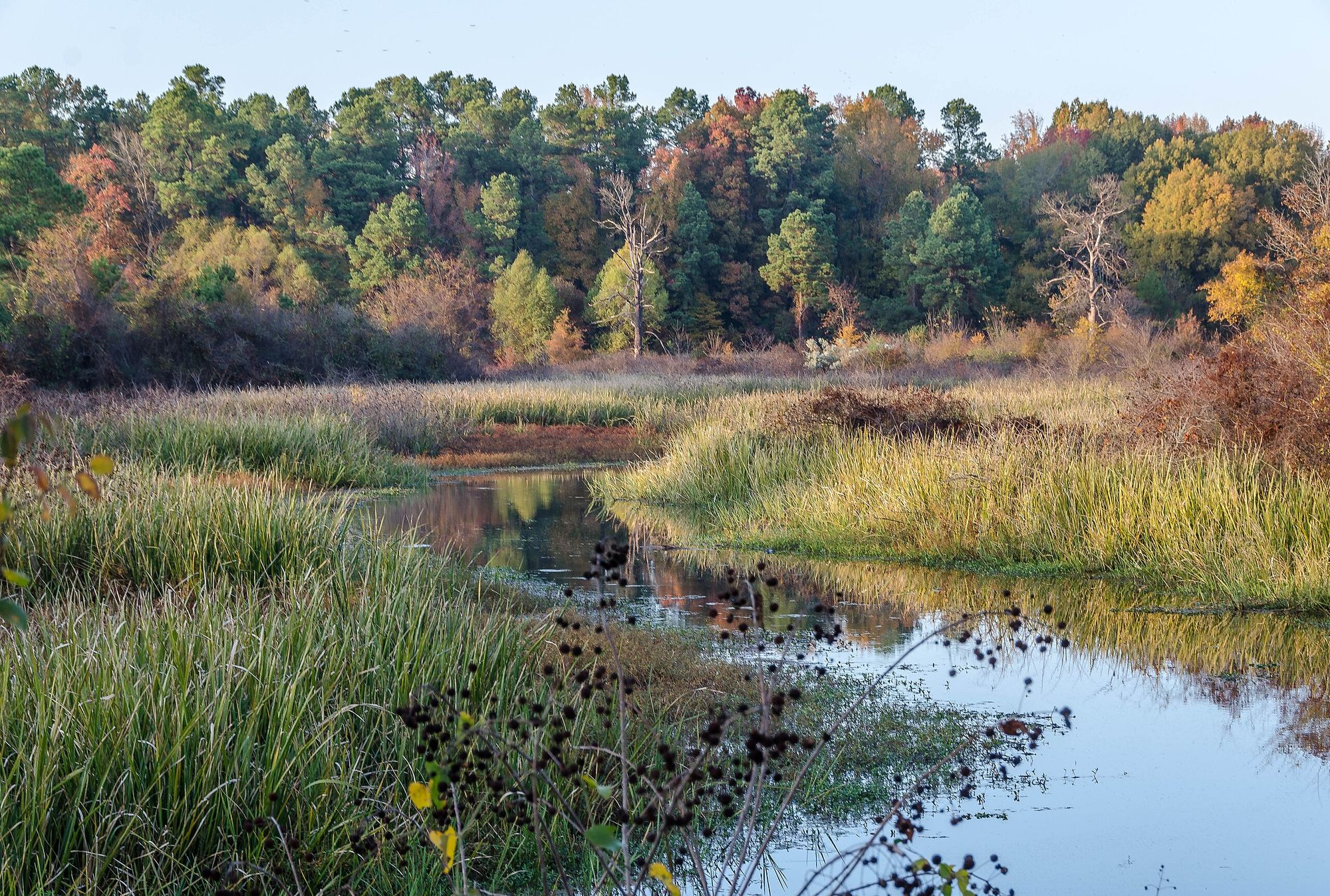
The Little Maumelle River is a scenic waterway located in central Arkansas, flowing eastward from its headwaters near Lake Maumelle towards its confluence with the Arkansas River just west of Little Rock. This gentle river meanders through diverse habitats, including bald cypress groves and bottomland forests, providing an easily accessible paddling destination close to the state's capital city. The Little Maumelle River Water Trail offers an 8.2-mile paddling route that begins at Pinnacle Mountain State Park and ends at Two Rivers Park, where the Little Maumelle joins the Arkansas River.
This flatwater trail is ideal for canoes and kayaks, with multiple access points allowing for trips of varying lengths. The full trail can typically be completed in 4-6 hours, depending on water levels and paddling speed. Suitable for beginners and families, the river is generally free of rapids at normal water levels. However, high water can create hazardous conditions around trees and debris, so paddlers should exercise caution and check conditions before embarking. The best paddling times are typically spring through fall, with summer offering warmer waters but potentially lower water levels.
Wildlife enthusiasts will appreciate the opportunity to observe a variety of species along the river, including herons, turtles, and possibly bald eagles. The surrounding landscape transitions from upland forests near Pinnacle Mountain to more urban parkland as the river approaches Little Rock.
Key access points include: 1. Pinnacle Mountain State Park Access 2. River Mountain Park Access 3. Two Rivers Park Access Each of these locations offers parking and launch facilities. Pinnacle Mountain State Park also provides canoe and kayak rentals, as well as guided float trips for those seeking a more structured experience.
The Little Maumelle River Water Trail connects several significant recreational areas, including Pinnacle Mountain State Park, known for its distinctive peak and hiking trails, and Two Rivers Park, a popular spot for walking, cycling, and fishing. The trail also passes near the Arkansas Arboretum, which showcases native flora representing the state's diverse ecosystems.
For those interested in longer adventures, the river offers limited primitive camping opportunities, including a unique floating platform campsite. However, most paddlers treat the Little Maumelle as a day trip destination.
Safety considerations include wearing life jackets, being aware of changing water levels, and watching for submerged obstacles. Paddlers should also be mindful of the river's proximity to urban areas and take appropriate precautions to secure valuables.
The Little Maumelle River Water Trail provides a peaceful natural escape remarkably close to Little Rock, offering both novice and experienced paddlers a chance to explore one of central Arkansas's scenic waterways.
Curated routes
Hand-picked by the PaddleWays team, with put-ins, take-outs, paddle times and the hazards along the way.
RouteFlatwater
Hazards
No paddler has reported a hazard here yet, so these are the dams, falls and big rapids on our map. Hazards change with flows and storms, so check them before you launch.
From the community
Nobody has shared a trip on Little Maumelle River yet. Paddle it, then tell the next paddler how it went.
See exactly where the public can get on and off the river. Launch points and boat ramps are paired with PaddleWays' public land data so you know where you can legally land.
Public shoreline
10%of the river's shoreline is public
Most of the riverbank is private. Launch, land and camp only at public access points.
Flows, weather and a route-by-route verdict, so you know which stretch of the Little Maumelle River is worth paddling today.
No forecast data available.
Live flows, marked hazards and fresh trip reports from paddlers who were just on the water, all in one place.





Every user gets free access to launch points, boat ramps, and public property parcels.
Loading popular cities...
PaddleWays gives you everything you need to plan smarter, paddle better, and own every trip from first launch to takeout.