Saline River
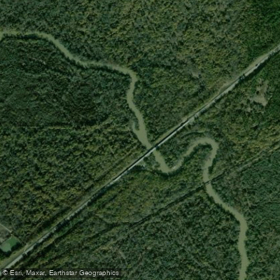
Saline River
- Boat Ramps
- 22
- Access Points
- 22
- Campsites
- 16
The Saline River stands as the last major undammed stream in the entire Ouachita Mountain drainage, flowing through central and southern Arkansas before joining the Ouachita River at Felsenthal National Wildlife Refuge in Ashley County. The river system comprises three major divisions—the North Fork, Middle Fork, and Alum Fork—which converge above Benton in Saline County. Below this confluence point, the river transitions from its upper character and flattens as it traverses southward through Grant, Cleveland, Bradley, and Ashley counties. Dense forests line the river banks throughout its course, creating an illusion of wilderness along much of its length despite flowing through populated regions.
The relatively unspoiled nature of the waterway supports diverse wildlife including deer, mink, river otters, beavers, muskrats, and numerous bird species that paddlers regularly encounter. This undammed status allows the river to maintain natural flow patterns and habitat conditions increasingly rare in Arkansas waterways.
The Saline offers exceptional fishing opportunities that vary by river section. Smallmouth bass dominate the upper reaches in Saline and Grant counties, while largemouth bass occupy the lower sections through Bradley and Ashley counties. The intermediate waters support healthy populations of spotted bass that overlap into both zones. Panfish including warmouth, longear sunfish, and green sunfish provide consistent action, with bluegills and crappie also present. The river maintains a productive Arkansas walleye fishery, and channel catfish are common throughout. Rock bass associate with smallmouth bass populations in the upper third of the waterway.
For much of the year, the river's character lends itself to a "wade a little, fish a little" approach, making canoes the preferred watercraft for anglers and paddlers alike. The combination of natural flow, diverse fish populations, and wilderness atmosphere creates excellent backcountry floating experiences.
Access to the river is available at Benton in Saline County, with the river flowing through increasingly remote country as it progresses southward. The journey from the forks' convergence to the Ouachita confluence covers substantial distance through seven counties, offering extended trip possibilities for experienced paddlers seeking multi-day wilderness experiences.
The Saline's undammed status and relatively pristine condition make it a significant resource for understanding natural river systems in the Ouachita drainage. Its protection from major development has preserved both ecological value and recreational opportunities increasingly difficult to find in the region.
Water access, boat ramps & amenities
Learn how to get on Saline River. Uncover great paddling access points, boat ramps, and all the facilities you need for an unforgettable day on the water. Some locations shown may border or include private property. Always check property boundaries and applicable regulations before visiting. PaddleWays's Public & Private Land layer can help you plan your access with confidence.
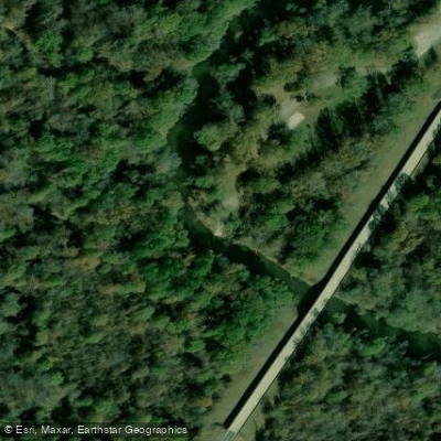
Jenkins Ferry State Park (Highway 46 Bridge) Boat Ramp
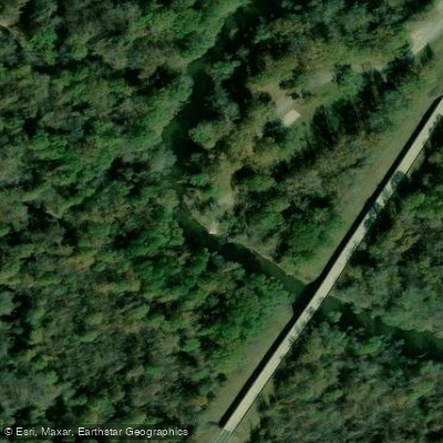
Jenkins Ferry Boat Ramp
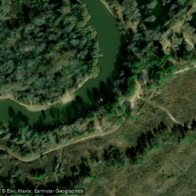
Ozment Bluff Boat Ramp
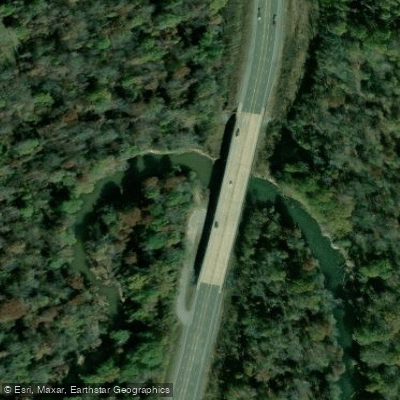
Hwy 167 Boat Ramp
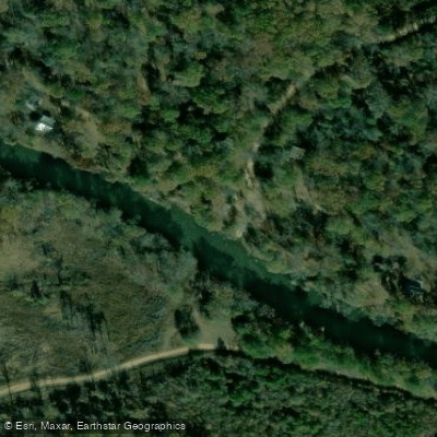
Lee's Ferry Boat Ramp
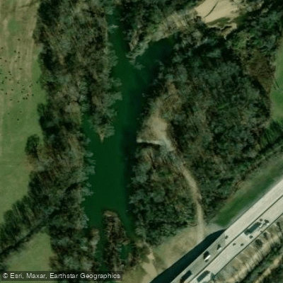
I -30 Cherry Gingles Boat Ramp
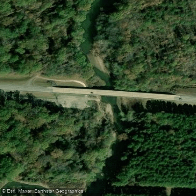
Highway 270 Boat Ramp
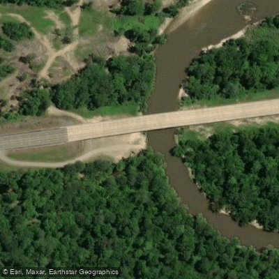
Highway 278 Bridge Boat Ramp
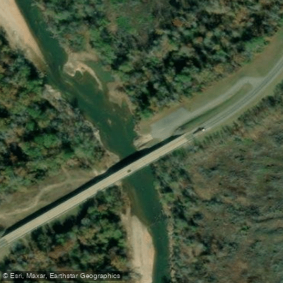
Hwy 15/63 Boat Ramp
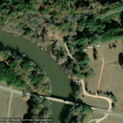
Longview Boat Ramp
Paddle smarter with real-time insights
Whether you're en route and conditions shift or you're looking for the best spot based on current flows, we enable you to make informed decisions on the fly.








Find Places to Paddle

Over 400,000 Places to Paddle
Every user gets free access to launch points, boat ramps, and public property parcels.


Water and weather conditions (10 day forecast)
See the best times to paddle Saline River and check the forecast before you go.
Saline River at Benton, AR
All Flow Stations
Paddling near Saline River

Arkansas River
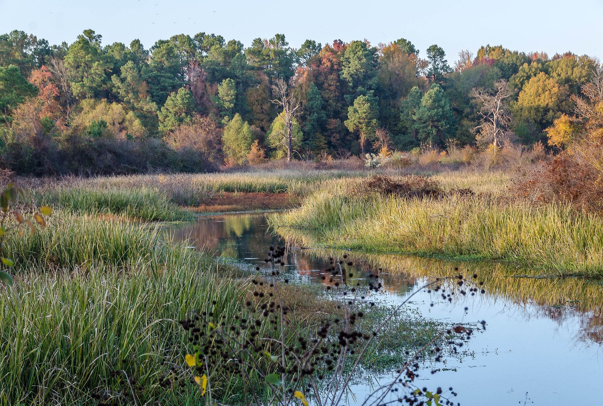
Bayou Bartholomew
Bayou Meto

White River
Ouachita River
Cane Creek Lake
Halowell Reservoir
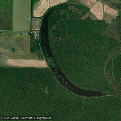
Cox Cypress Lake
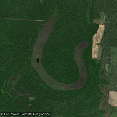
Grand Cypress Lake
Explore Arkansas waters
Top paddling waters
Popular Cities
Loading popular cities...
Explore near Saline River
Access points
- Jenkins Ferry State Park (Highway 46 Bridge) Boat Ramp
- Jenkins Ferry Boat Ramp
- Ozment Bluff Boat Ramp
- Hwy 167 Boat Ramp
- Lee's Ferry Boat Ramp
- I -30 Cherry Gingles Boat Ramp
- Highway 270 Boat Ramp
- Highway 278 Bridge Boat Ramp
- Hwy 15/63 Boat Ramp
- Longview Boat Ramp
- Hwy 278 Boat Ramp
- Fitzhugh Boat Ramp
- All 227 spots
Nearby waters
More in Arkansas

Smarter Paddling Starts in the App.
Paddleways gives you everything you need to plan smarter, paddle better, and own every trip from first launch to takeout.