Brush Creek Road
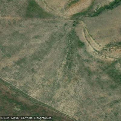
Brush Creek Road
Brush Creek Road (FDR 1695) is a 2.5-mile 4WD forest road near Green Mountain Reservoir that provides access to dispersed camping areas and the Brush Creek Trailhead, which connects to the Eagles Nest Wilderness and popular destinations like Lost Lake.
The road is steep and narrow with rough conditions; trailers are not recommended, and vehicles without high-clearance 4WD should park at the Old Grandview Cemetery lot.
The area is closed to motorized use from November 23 through June 20, and dispersed camping is limited to 14-day stays with strict wilderness regulations including a 100-foot setback from water sources.
Nearby points of interest
Find excellent paddling spots, easy access to boat ramps, and all the amenities you need for a memorable day. Your adventure starts here.
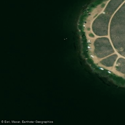
Big Green Day Use Area Boat Ramp
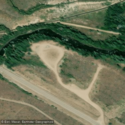
Columbine Landing Recreation Site Boat Ramp
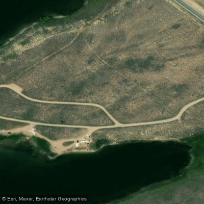
Cow Creek North Campground Boat Ramp
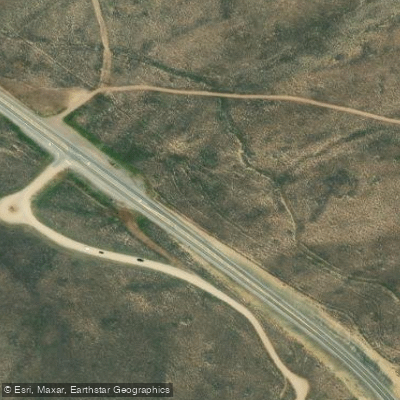
Cow Creek South Campground Boat Ramp
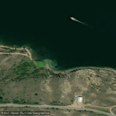
Green Mountain Heeney Area Boat Ramp
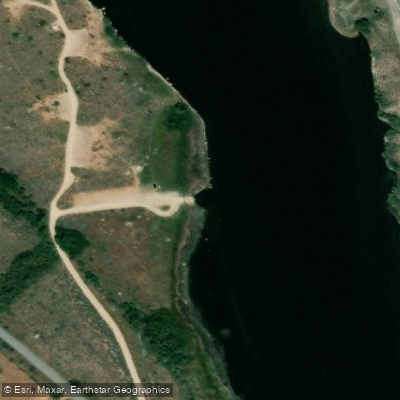
McDonald Flats Boat Ramp
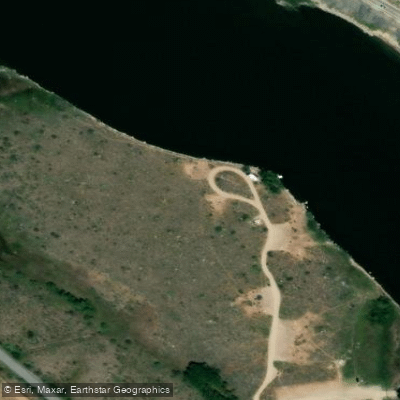
McDonald Flats Campground Boat Ramp
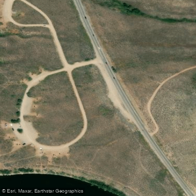
Prairie Point Campground Boat Ramp
Water and weather conditions (10 day forecast)
Check the forecast at Brush Creek Road before you go paddling.
No forecast data available.
Paddling near Brush Creek Road
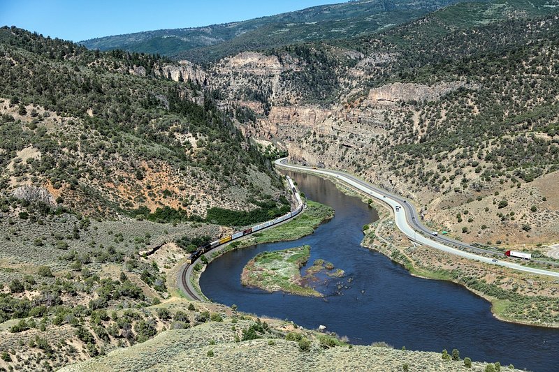
Colorado River
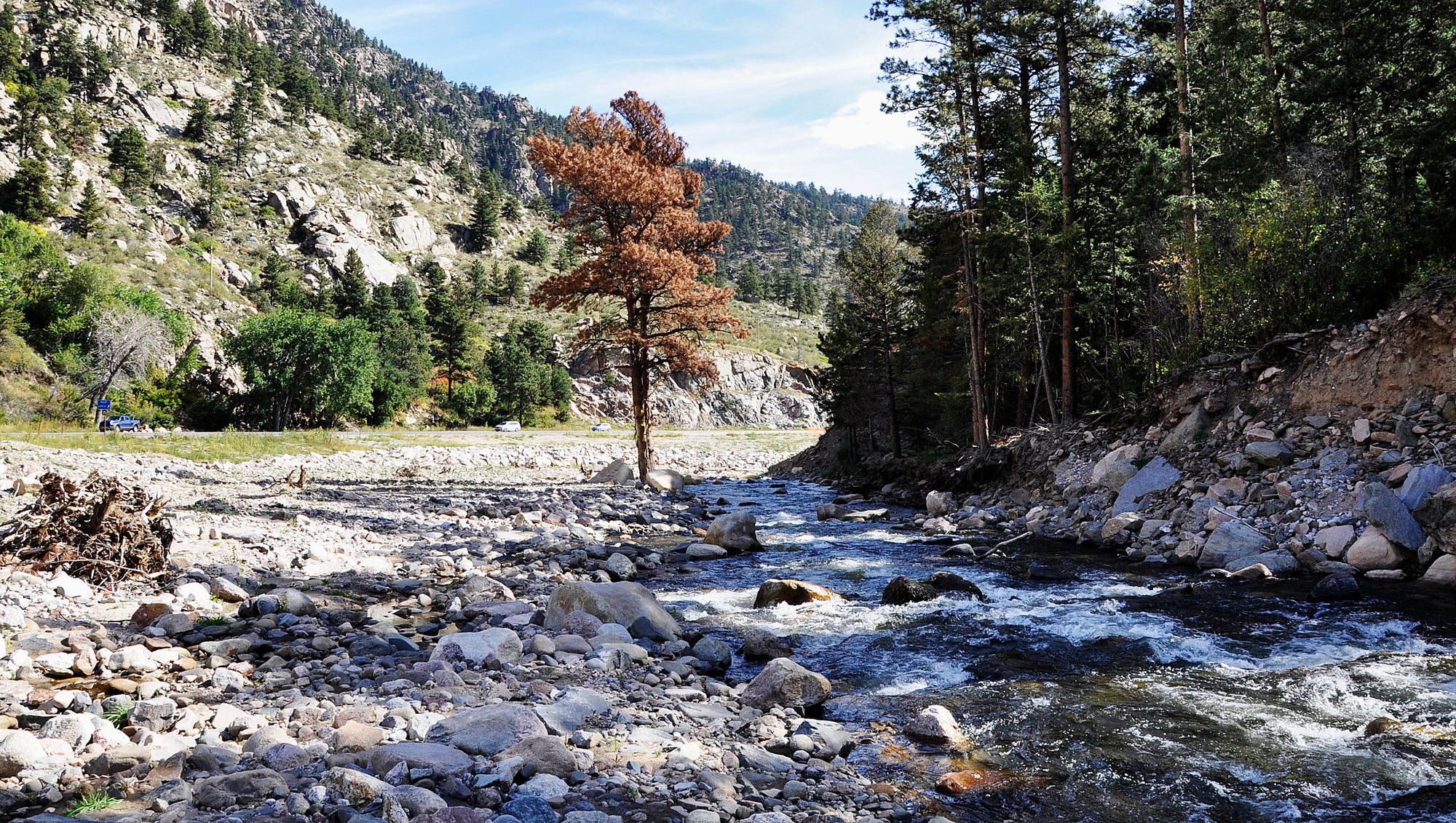
Big Thompson River
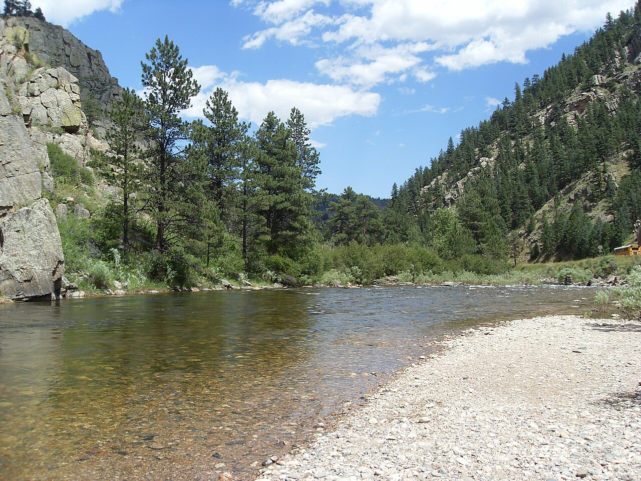
Cache la Poudre River
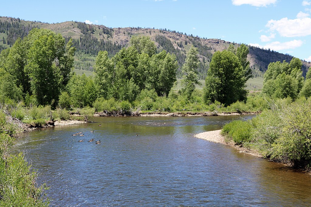
Fraser River
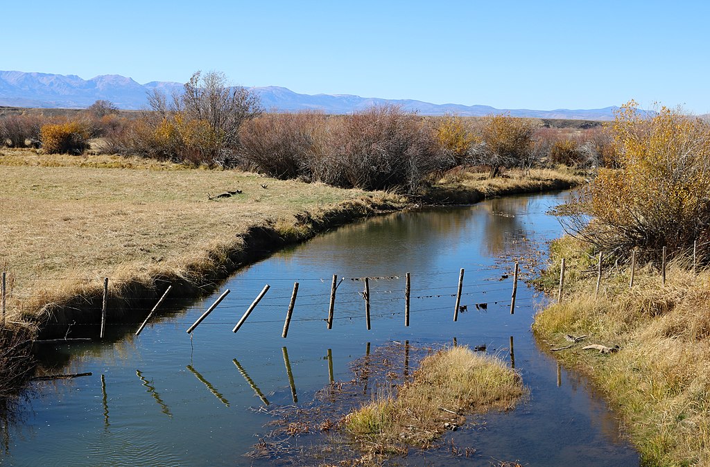
Michigan River
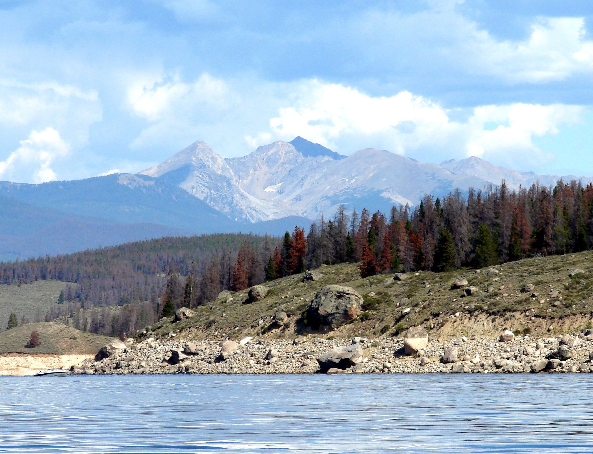
Lake Granby
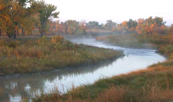
Laramie River
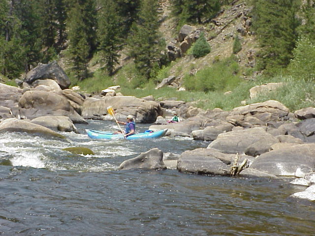
North Platte River
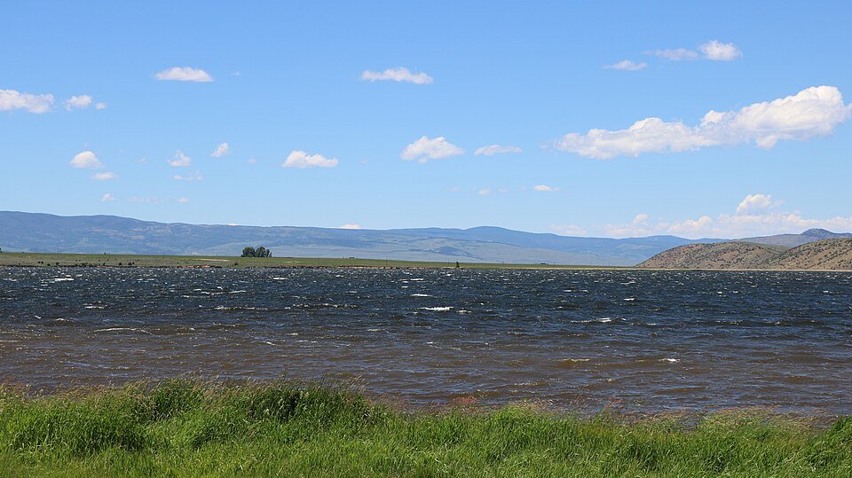
Williams Fork
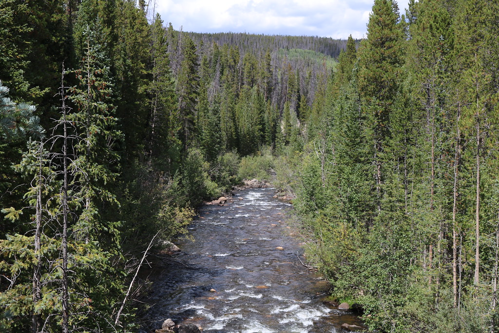
Joe Wright Creek
Colorado licenses and regulations
Explore Colorado waters
Top paddling waters
No waters available right now.
Popular Cities
Loading popular cities...
Explore near Brush Creek Road
Nearby spots
- Big Green Day Use Area Boat Ramp
- Columbine Landing Recreation Site Boat Ramp
- Cow Creek North Campground Boat Ramp
- Cow Creek South Campground Boat Ramp
- Green Mountain Heeney Area Boat Ramp
- McDonald Flats Boat Ramp
- McDonald Flats Campground Boat Ramp
- Prairie Point Campground Boat Ramp
- Columbine Landing Campground
- Cow Creek North Campground
- Cow Creek South Campground
- McDonald Flats Campground
- All 13 nearby spots
Nearby waters
More in Colorado

Smarter Paddling Starts in the App.
PaddleWays gives you everything you need to plan smarter, paddle better, and own every trip from first launch to takeout.