Joe Wright Creek
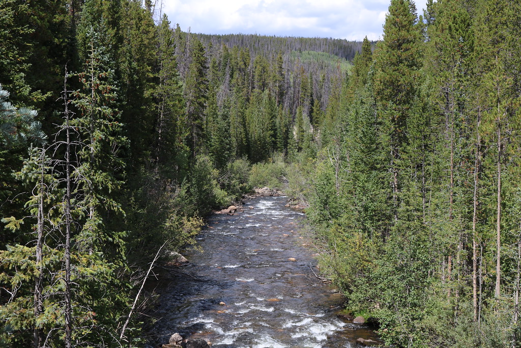
Joe Wright Creek
- Boat Ramps
- 0
- Access Points
- 3
- Campsites
- 20
Joe Wright Creek is a challenging whitewater stream located in Larimer County, Colorado. This tributary of the Cache La Poudre River originates in the high elevations of the Roosevelt National Forest, flowing generally eastward before its confluence with the Poudre. While relatively short, Joe Wright Creek packs a punch for experienced paddlers seeking intense whitewater action.
The most notable section of Joe Wright Creek for whitewater enthusiasts is the 3-mile stretch from the County Road 103 bridge to Big South Campground. This Class V run is renowned for its continuous, technical rapids that demand expert skill and precise maneuvering. The creek features two solid Class V drops interspersed with relentless Class IV whitewater, making it suitable only for highly skilled kayakers and rafters with extensive experience in difficult rapids.
Paddling Joe Wright Creek is typically a spring and early summer activity, dependent on snowmelt from the surrounding mountains. The optimal time for running the creek is usually from late May through June, though exact conditions can vary based on annual snowpack and weather patterns. Paddlers should always check current water levels and conditions before attempting this challenging run.
The surrounding landscape is characterized by dense coniferous forests and rugged mountain terrain typical of the Colorado Rockies. Wildlife in the area includes elk, mule deer, and various bird species, though paddlers will likely be too focused on the demanding whitewater to engage in much wildlife viewing.
Access to Joe Wright Creek is relatively remote. The put-in at the County Road 103 bridge is approximately 50 miles west of Fort Collins, while the take-out at Big South Campground is further downstream. Both locations are within the Cache La Poudre River canyon, a scenic area popular for outdoor recreation.
Safety is paramount when paddling Joe Wright Creek. The intense nature of the rapids, combined with the remote setting, requires thorough preparation, proper safety equipment, and a solid team of experienced paddlers. Scouting rapids is essential, and paddlers should be prepared for a physically and mentally demanding journey.
Joe Wright Creek is often combined with runs on the Cache La Poudre River, particularly the Spencer Heights section, allowing for extended whitewater adventures in the area. However, due to its difficulty and short length, Joe Wright Creek itself is typically a single-day paddling destination for those seeking an adrenaline-pumping Colorado whitewater experience.
Water access, boat ramps & amenities
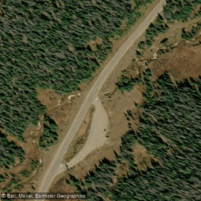
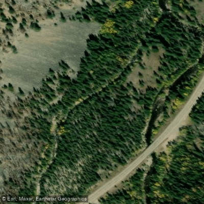
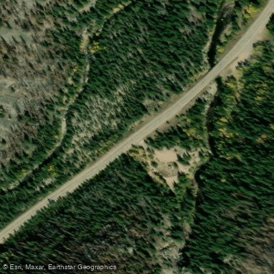
Learn how to get on Joe Wright Creek. Uncover great paddling access points, boat ramps, and all the facilities you need for an unforgettable day on the water. Some locations shown may border or include private property. Always check property boundaries and applicable regulations before visiting. PaddleWays's Public & Private Land layer can help you plan your access with confidence.
Paddle smarter with real-time insights
Whether you're en route and conditions shift or you're looking for the best spot based on current flows, we enable you to make informed decisions on the fly.








Find Places to Paddle

Over 400,000 Places to Paddle
Every user gets free access to launch points, boat ramps, and public property parcels.


Water and weather conditions (10 day forecast)
See the best times to paddle Joe Wright Creek and check the forecast before you go.
JOE WRIGHT CREEK ABOVE JOE WRIGHT RESERVOIR, CO
All Flow Stations
Paddling near Joe Wright Creek
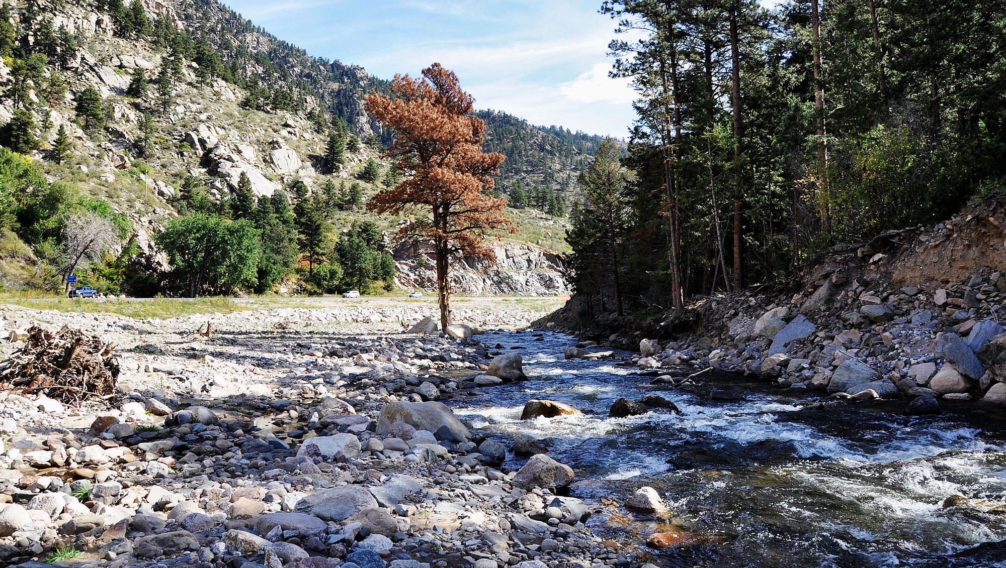
Big Thompson River

Colorado River
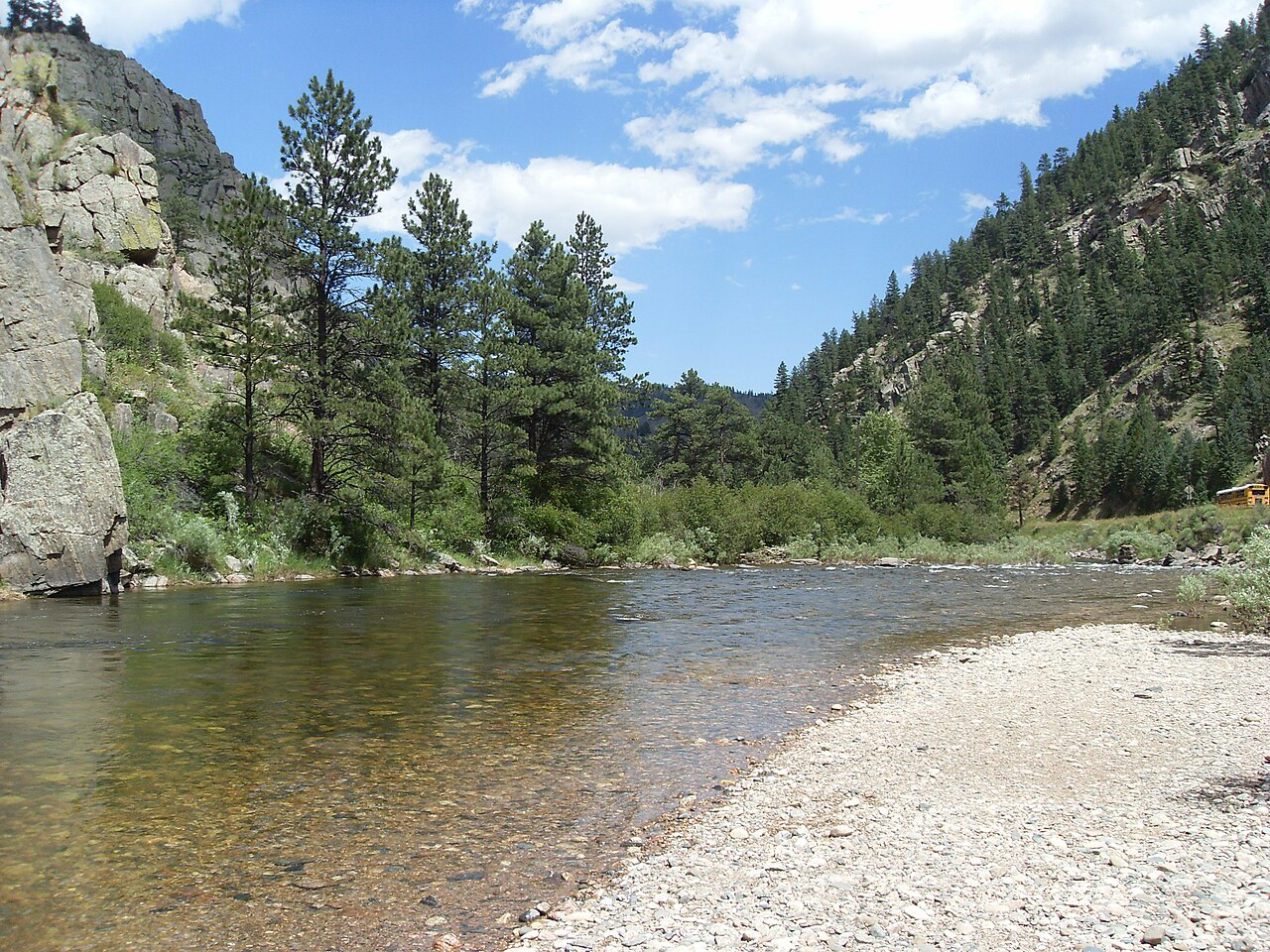
Cache la Poudre River
Laramie River
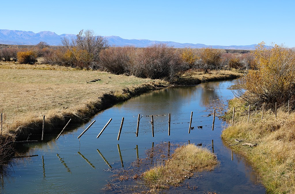
Michigan River
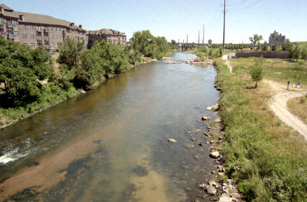
South Platte River
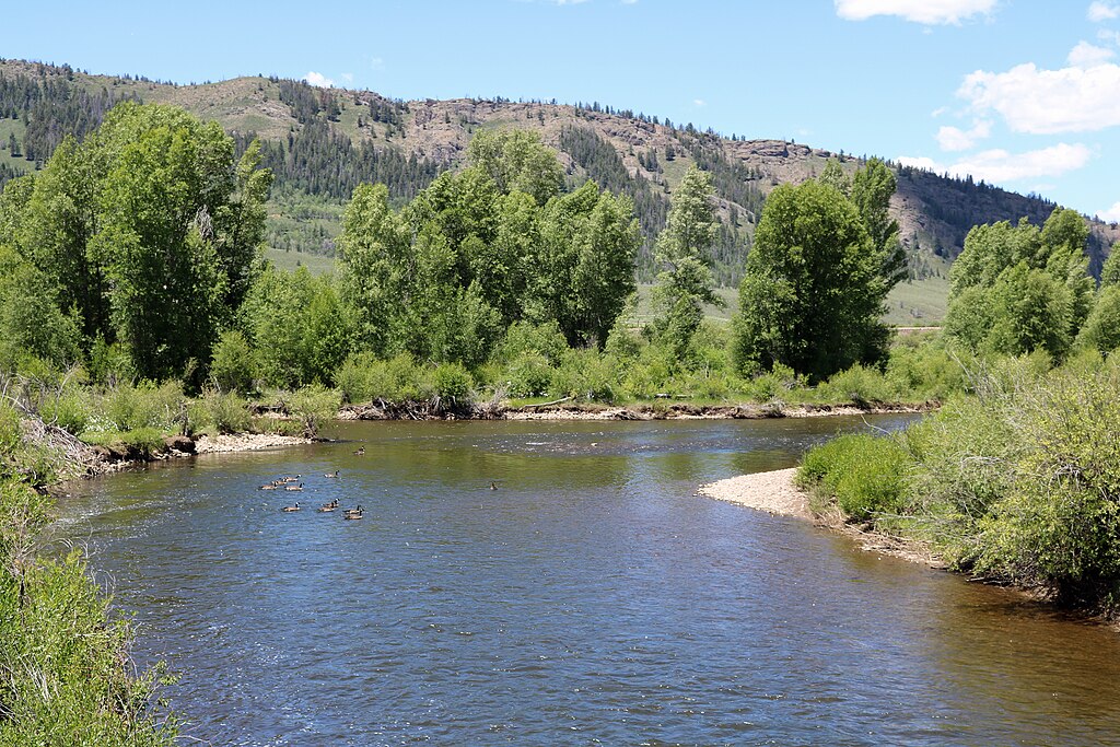
Fraser River
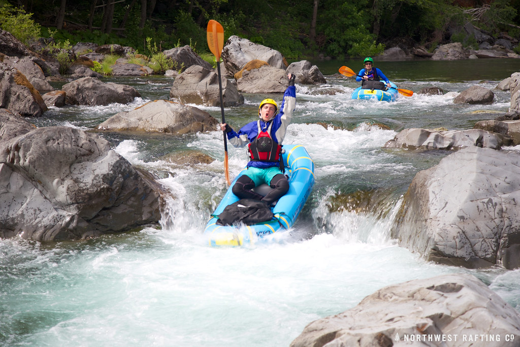
Boulder Creek
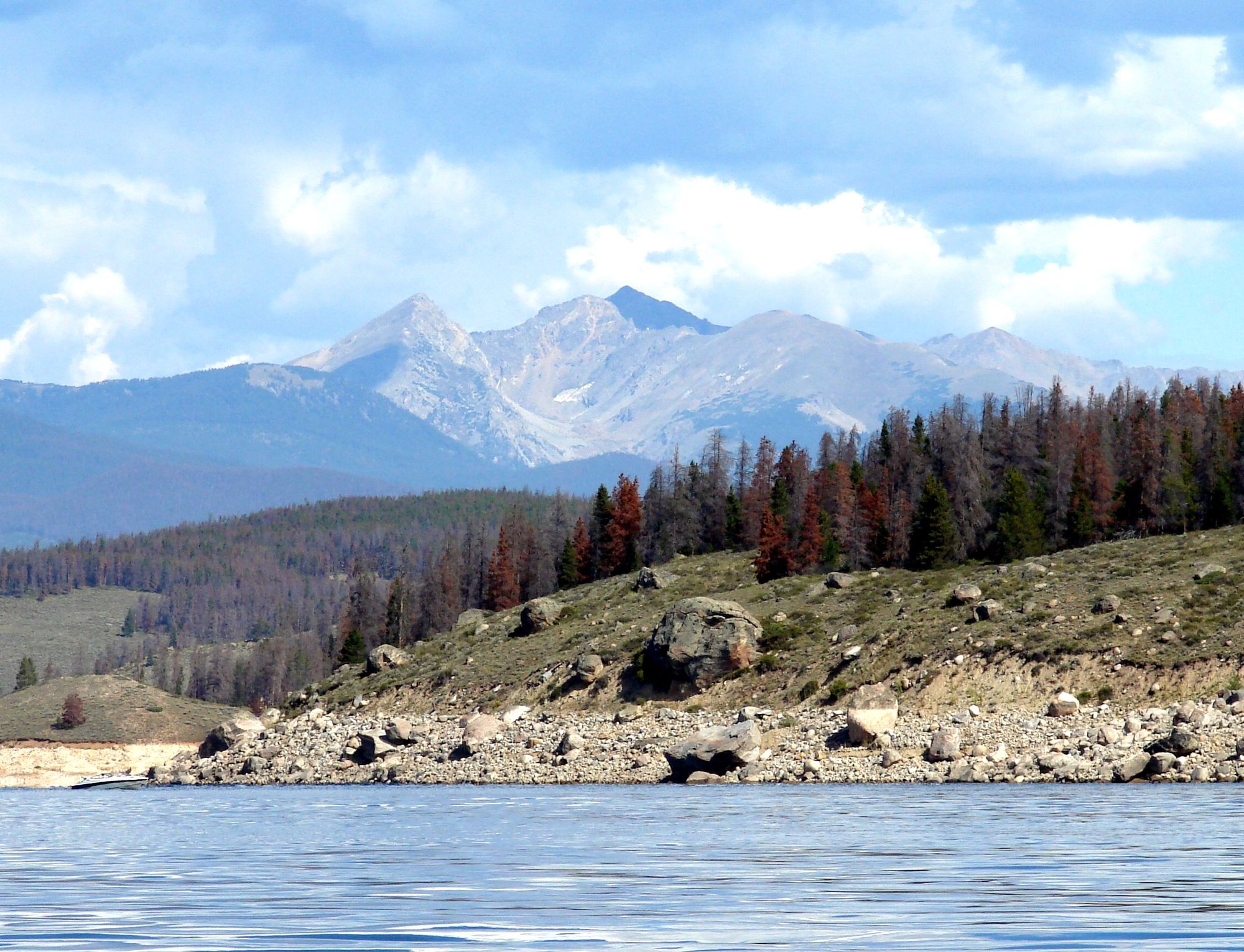
Lake Granby
Explore Colorado waters
Top paddling waters
Popular Cities
Loading popular cities...
Explore near Joe Wright Creek
Access points
Nearby waters
More in Colorado

Smarter Paddling Starts in the App.
Paddleways gives you everything you need to plan smarter, paddle better, and own every trip from first launch to takeout.