Laramie River
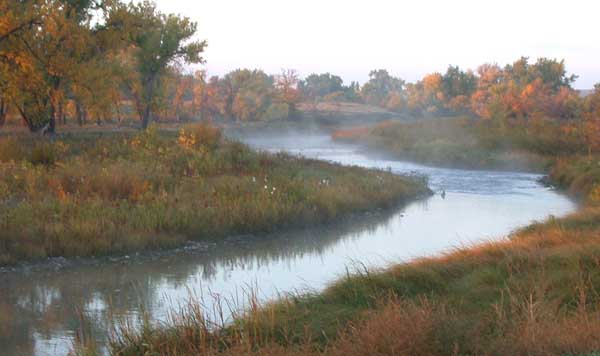
Laramie River
- Boat Ramps
- 2
- Access Points
- 15
- Campsites
- 16
The Laramie River is a scenic waterway that flows through southeastern Wyoming, offering a diverse range of paddling experiences for enthusiasts of all skill levels. Originating in the Never Summer Mountains near the Colorado-Wyoming border, this tributary of the North Platte River winds its way northward through varied landscapes, from high plains to rugged canyons.
Paddlers can enjoy several distinct sections of the Laramie River, each with its own character. The upper reaches near Jelm provide a gentle introduction, with Class I-II rapids perfect for beginners and families. As the river progresses, it offers more challenging stretches, culminating in the exhilarating Class II-IV rapids of the Lower Laramie Canyon. The river's difficulty ranges from easy floats suitable for novices to technical whitewater demanding advanced skills.
The Jelm Public Access to Woods Landing section offers a mild 3-mile run, while the 16-mile Tunnel Road to Palmer Canyon Road stretch provides a more intense experience for seasoned paddlers. Spring runoff, typically from mid-May to late June, offers the best conditions for whitewater enthusiasts. However, the river remains enjoyable for fishing and scenic floats throughout the summer and early fall. Water levels can fluctuate significantly, so it's crucial to check current conditions before embarking on any trip.
The Laramie River corridor supports a rich ecosystem. Paddlers may spot yellow-bellied marmots sunbathing on granite rocks, and the surrounding areas burst with wildflowers, including Wyoming's state flower, the Indian Paintbrush. The river is also renowned for its trout fishing, with brown and rainbow trout abundant in many sections. Notable landmarks include the picturesque Jelm Canyon and the challenging White Hound Canyon.
The river passes through or near several towns, including Laramie, Woods Landing, and Wheatland, providing convenient access points and amenities for paddlers. Historically, the river was named after Jacques La Ramie, a French-Canadian fur trapper who explored the area in the early 19th century. Today, it plays a vital role in local agriculture and recreation, with several reservoirs along its course serving multiple purposes.
Safety is paramount on the Laramie River. Paddlers should be aware of potential hazards such as strainers, undercut rocks, and in some sections, man-made obstacles like fences or diversion structures. Always wear a personal flotation device and check with local authorities for any specific regulations or advisories.
For those seeking a multi-day adventure, the section from Wheatland Reservoir No. 3 to Tunnel Road offers a 17-mile journey with camping opportunities along the way. This trip allows paddlers to fully immerse themselves in the river's changing moods and landscapes.
Whether you're seeking a peaceful float through serene meadows or an adrenaline-pumping ride through boulder-strewn rapids, the Laramie River offers a paddling experience to match. Its accessibility, varied terrain, and natural beauty make it a cherished destination for water enthusiasts exploring the wilds of Wyoming.
Water access, boat ramps & amenities
Learn how to get on Laramie River. Uncover great paddling access points, boat ramps, and all the facilities you need for an unforgettable day on the water. Some locations shown may border or include private property. Always check property boundaries and applicable regulations before visiting. PaddleWays's Public & Private Land layer can help you plan your access with confidence.
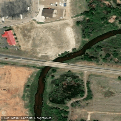
Monolith Public Access Area
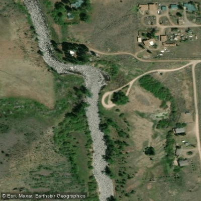
Jelm Public Access
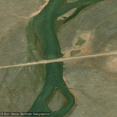
Wheatland No. 2 Reservoir Access
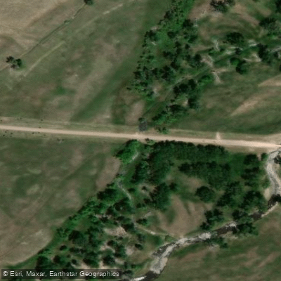
Palmer Canyon Road Access
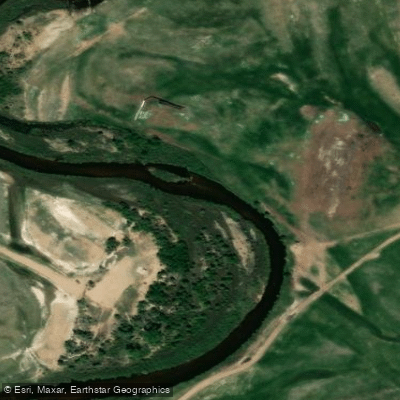
Monolith Ranch Access Area
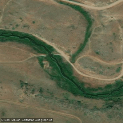
Tunnel Road Access
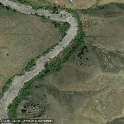
Jelm Access Area - Lower
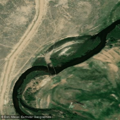
Monolith Public Access Area
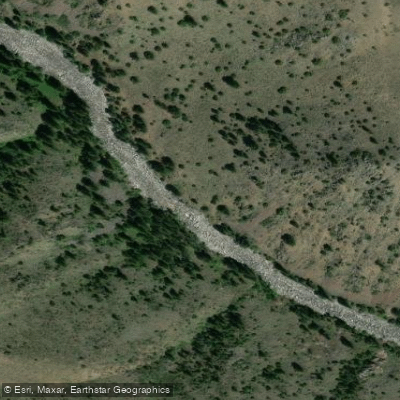
Jelm Access Area - Upper
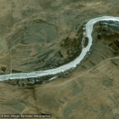
Monolith Foot Trail Access
Paddle smarter with real-time insights
Whether you're en route and conditions shift or you're looking for the best spot based on current flows, we enable you to make informed decisions on the fly.








Find Places to Paddle

Over 400,000 Places to Paddle
Every user gets free access to launch points, boat ramps, and public property parcels.


Water and weather conditions (10 day forecast)
See the best times to paddle Laramie River and check the forecast before you go.
LARAMIE RIVER NEAR FORT LARAMIE, WY
All Flow Stations
Paddling near Laramie River
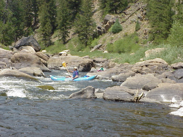
North Platte River
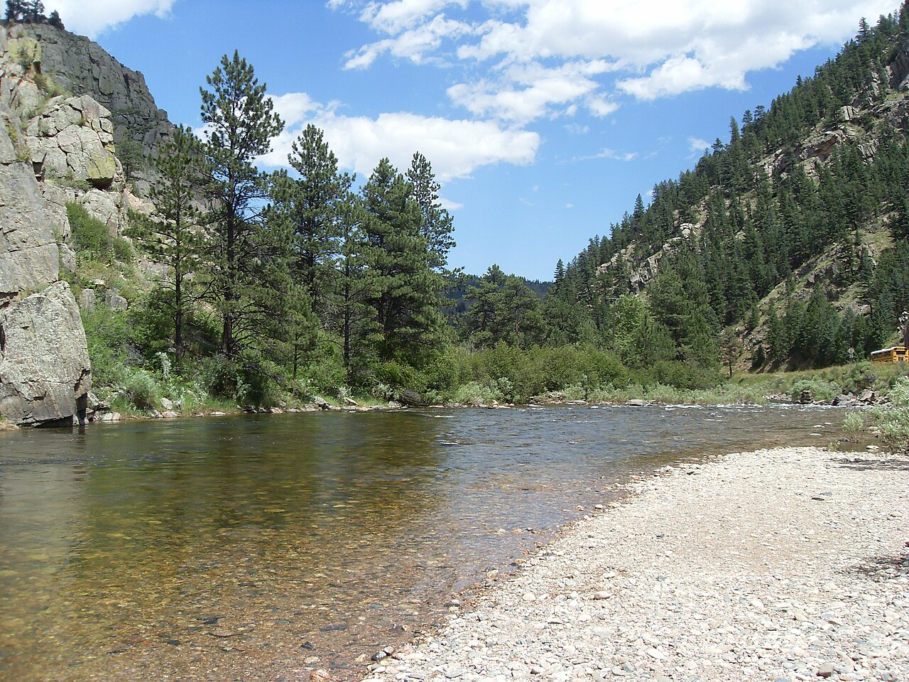
Cache la Poudre River
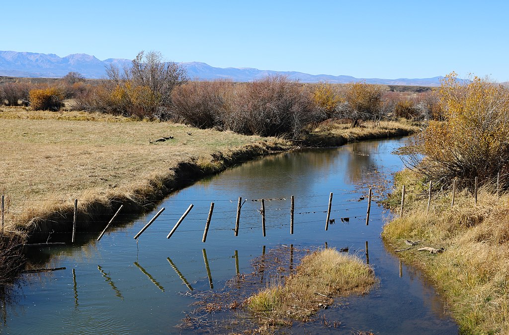
Michigan River
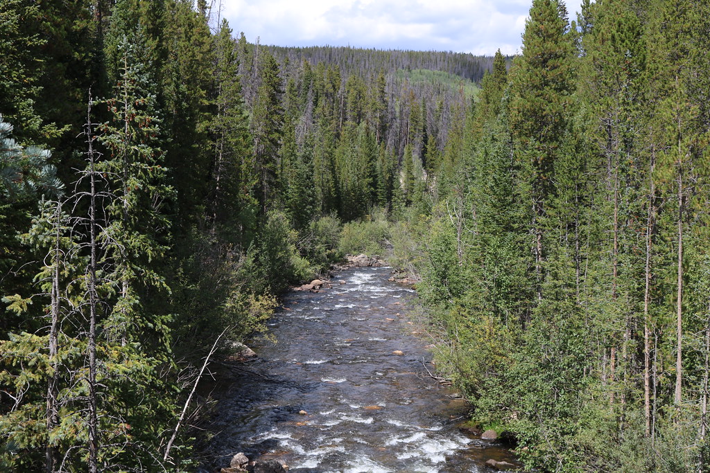
Joe Wright Creek
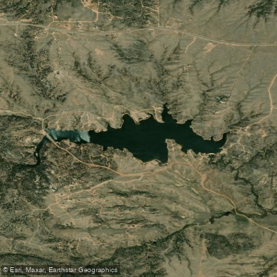
Granite Springs Reservoir
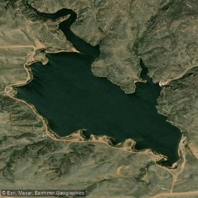
Crystal Lake Reservoir
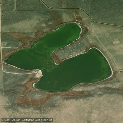
Meeboer Lake
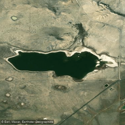
Twin Buttes Lake
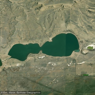
Lake Hattie Reservoir
Explore Colorado waters
Top paddling waters
Popular Cities
Loading popular cities...
Explore near Laramie River
Access points
- Pioneer Canal Boat Ramp
- Woods Landing Access
- Monolith Public Access Area
- Jelm Public Access
- Wheatland No. 2 Reservoir Access
- Palmer Canyon Road Access
- Monolith Ranch Access Area
- Tunnel Road Access
- Jelm Access Area - Lower
- Monolith Public Access Area
- Jelm Access Area - Upper
- Monolith Foot Trail Access
- All 38 spots
Nearby waters
More in Colorado

Smarter Paddling Starts in the App.
Paddleways gives you everything you need to plan smarter, paddle better, and own every trip from first launch to takeout.