Connor D.
193 cfs at Nathrop
5/23 - R2 w/Jeff
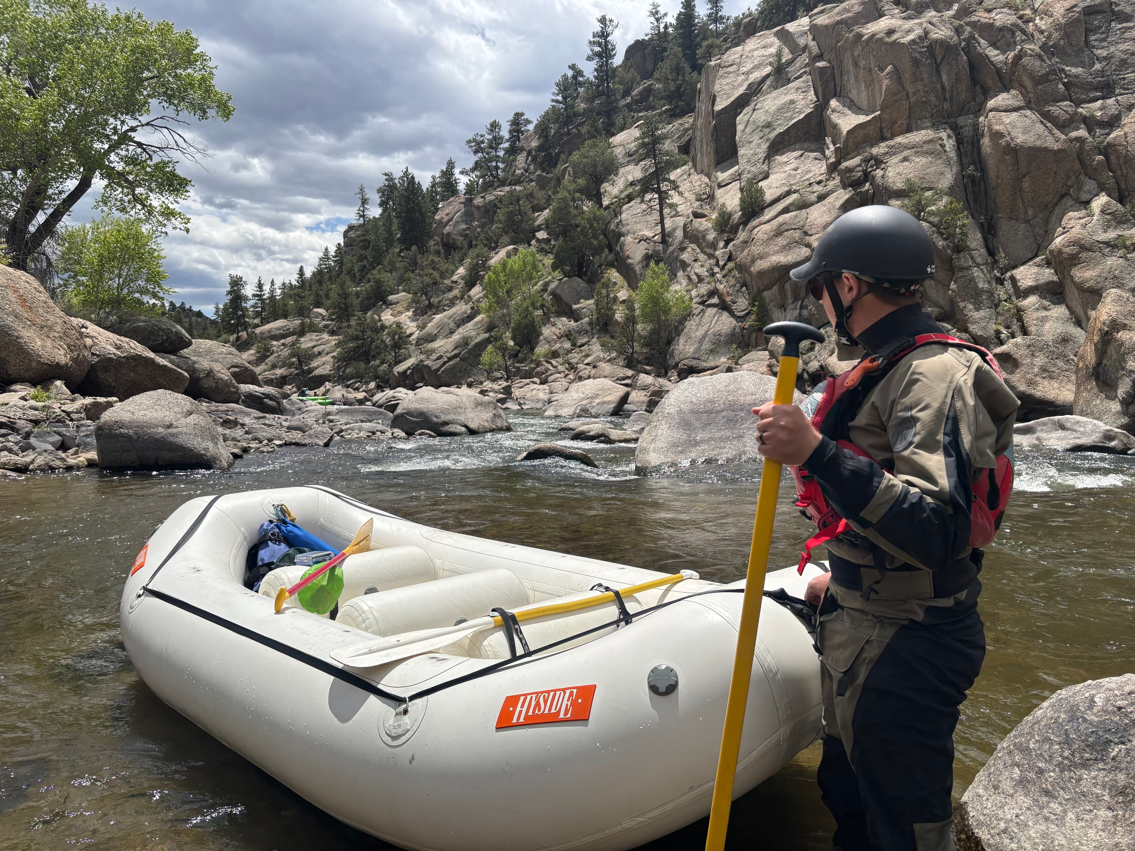
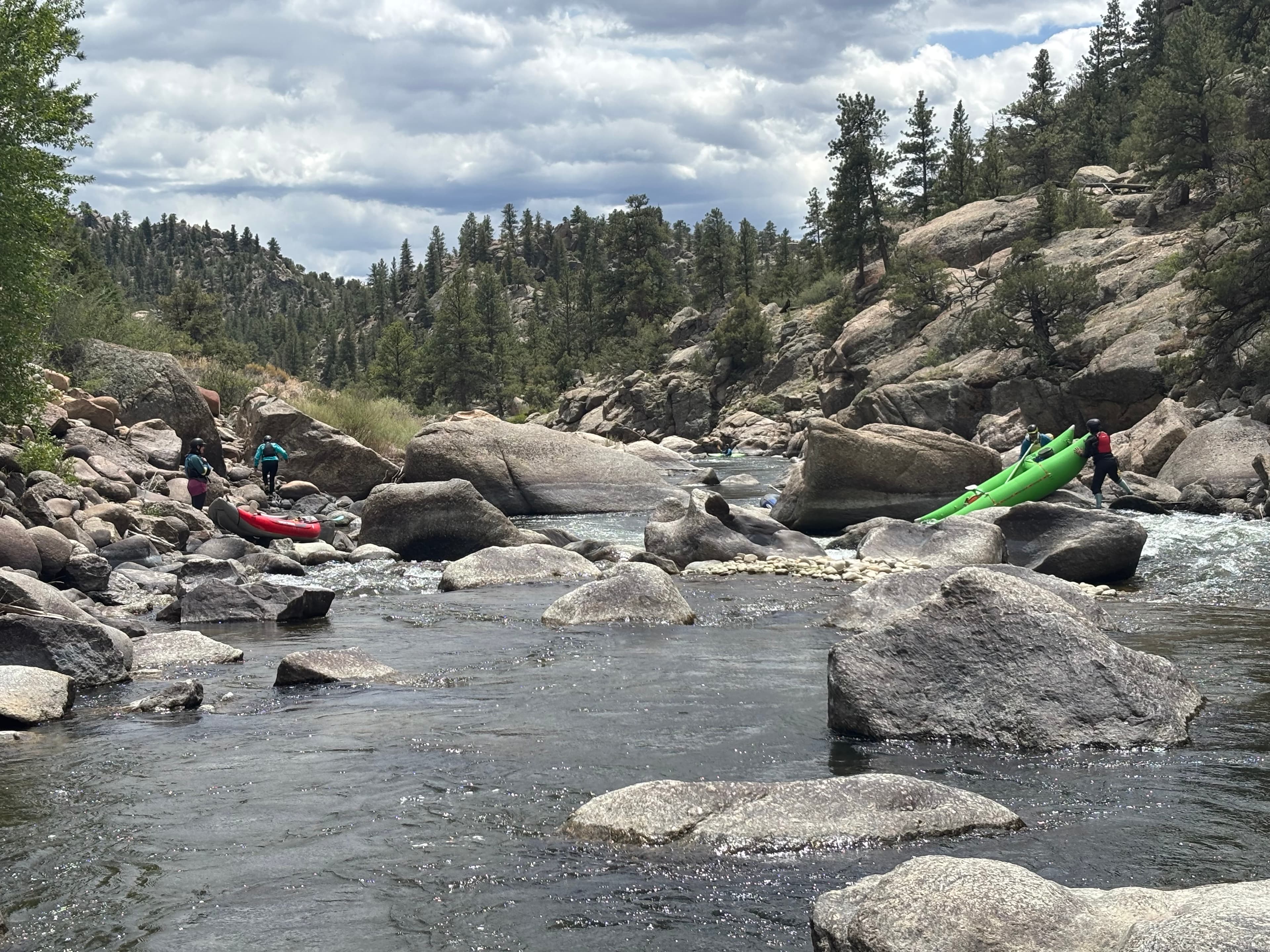
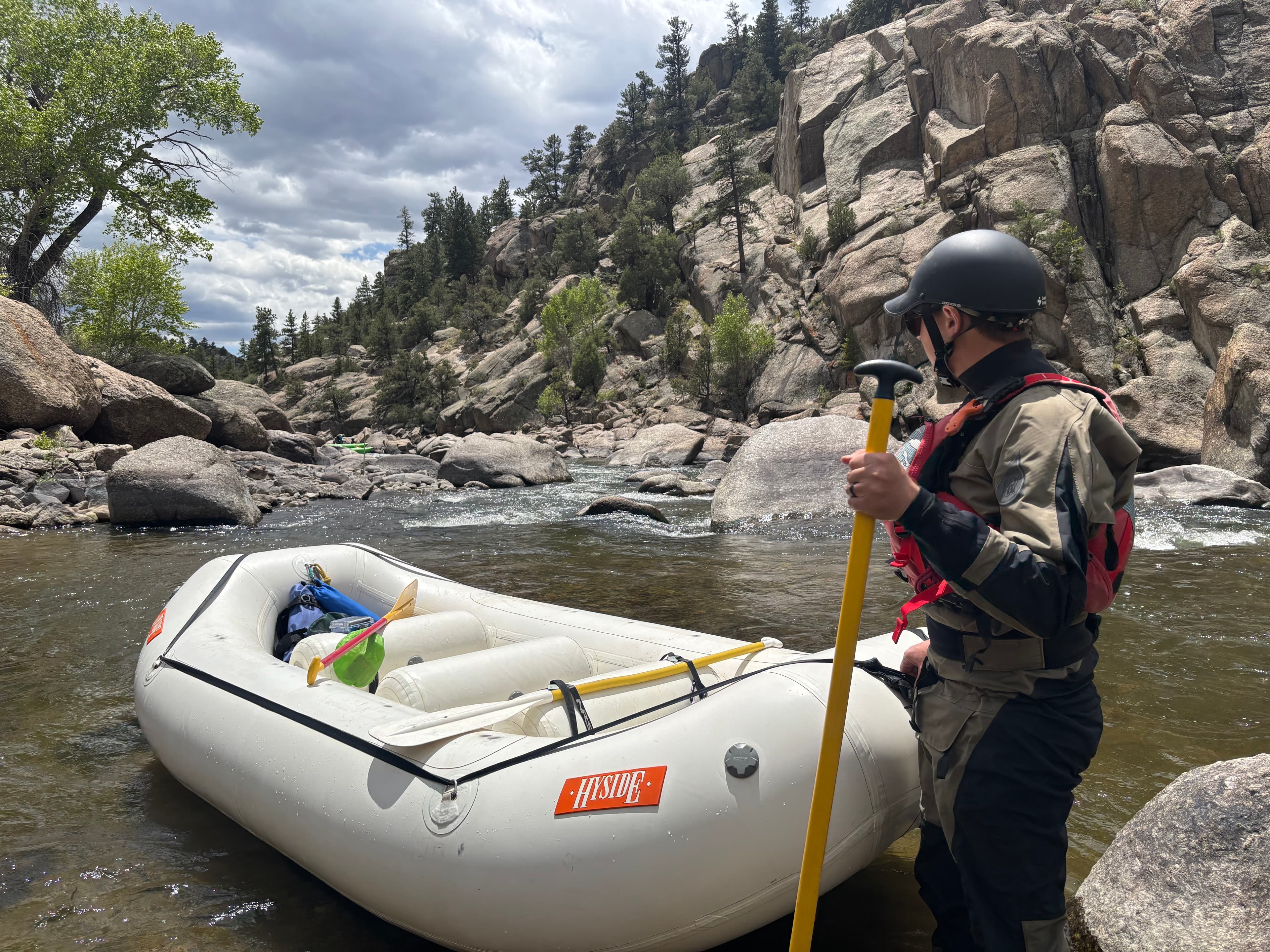 +1
Curated by PaddleWays
11.8 mi whitewater route on the Arkansas River in Colorado
Level right now
Recommended level from American Whitewater, on the gauge at Nathrop.
Route facts
Seidel's Suck Hole gets massive at high water
About this route
Browns Canyon is the quintessential class III run in the state of Colorado, and may be the most frequently paddled section of whitewater in the US. If you only count the warmer months then it almost certainly is. And for good reason. Browns epitomizes a relatively low-risk high-reward run, with a wilderness feel, tons of excellent play, easy logistics, and a lot of bang for the buck. It’s good at pretty much any level and doesn’t ever really get too unmanageable, with the exception of Seidel’s Suck Hole, which gets massive at high water, though there’s usually a sneak and you can always just use the take-out before Seidel’s. Regular flows are between 300 and 5000cfs, and can be had year-round.
Put-in and take-out
Take-out
Hazards
No paddler has reported a hazard here yet, so these are the dams, falls and big rapids on our map. Hazards change with flows and storms, so check them before you launch.
Rapid · Class IV
Class IV Scout left or right. This one can be a pretty enormous hole/wave hole at high water.
From the community
Real trips from PaddleWays paddlers who ran this route: how the flows were, and what to watch for.
Loading trip reports
Connor D.
193 cfs at Nathrop
5/23 - R2 w/Jeff
+1The gauges near Arkansas River - Brown's Canyon and the forecast where it starts, so you can pick your day.
No forecast data available.
Same water
The other curated routes on the Arkansas River, each with how it is running now.
RouteFlatwater
RouteClass IV
RouteClass III
RouteClass II–III
RouteClass II–III
RouteClass IV–V
Close by
Curated routes on other waters within an hour or so, nearest first.
on Taylor River · 36 mi away
RouteClass III
PaddleWays gives you everything you need to plan smarter, paddle better, and own every trip from first launch to takeout.
