Curated by PaddleWays

Carey Park to Yoder Rd

2.5 mi flatwater route on the Arkansas River in Kansas


Map of the Carey Park to Yoder Rd route, from Carey Park to South Yoder Road Access
  • Route
  • Put-in
  • Take-out
  • Hazards

Level right now

How Carey Park to Yoder Rd is running today

Route facts

Carey Park to Yoder Rd at a glance

Distance
2.5 mi
Paddle time
~1 hr
Type
Flatwater

About this route

Paddling Carey Park to Yoder Rd

A 2.5-mile flatwater route on the Arkansas River in Reno County, Kansas.

Put-in and take-out

  • Put-in

    Carey Park

  • Take-out

    South Yoder Road Access

Hazards

Hazards on Carey Park to Yoder Rd

No paddler has reported a hazard here yet, so these are the dams, falls and big rapids on our map. Hazards change with flows and storms, so check them before you launch.

  1. South Yoder Road Access

    From our map

    Hazard

    Exit point and little rocky and flat gravel parking , shorter walk from river than Carey park exit point .

From the community

Carey Park to Yoder Rd trip reports

Real trips from PaddleWays paddlers who ran this route: how the flows were, and what to watch for.

Loading trip reports

  • Darren A.

    Kayak •

    236 cfs at Hutchinson

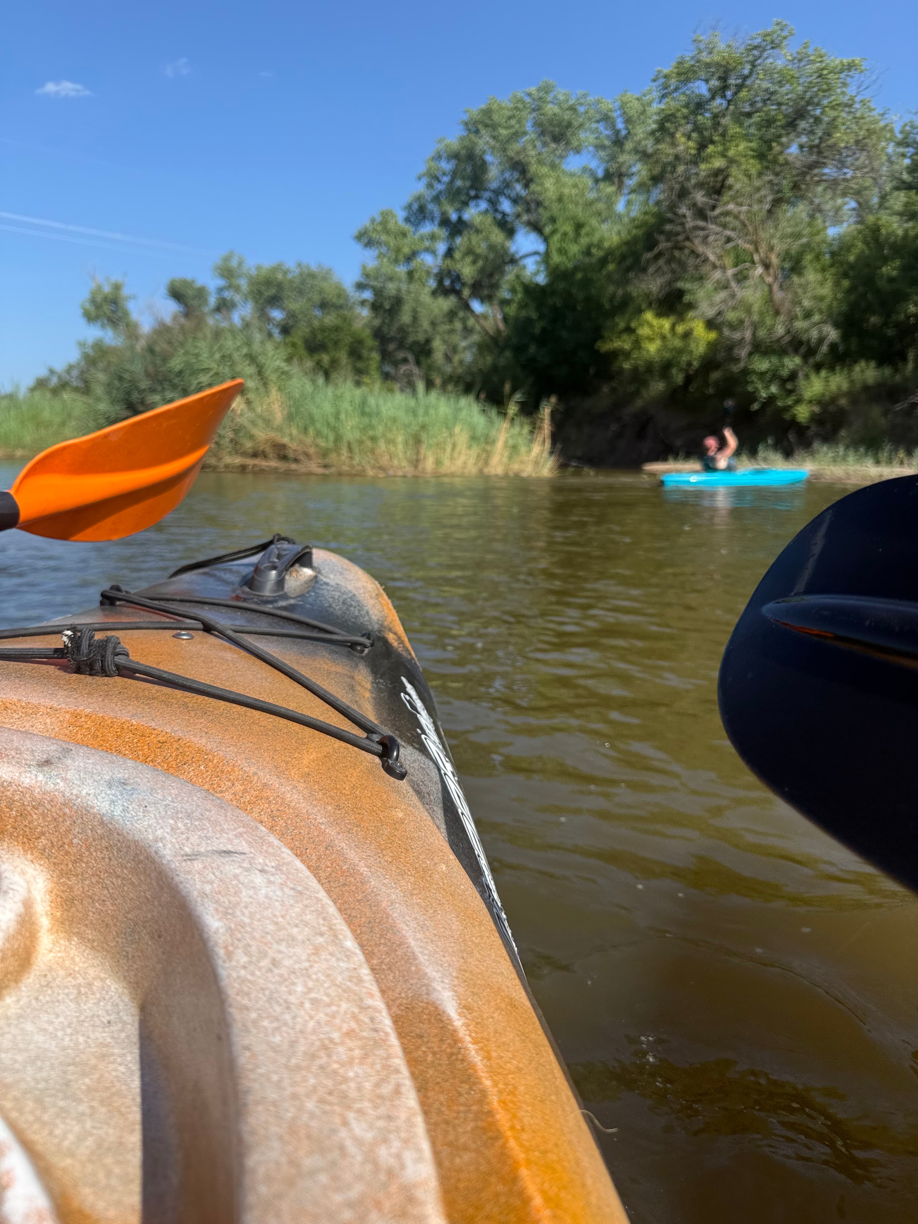
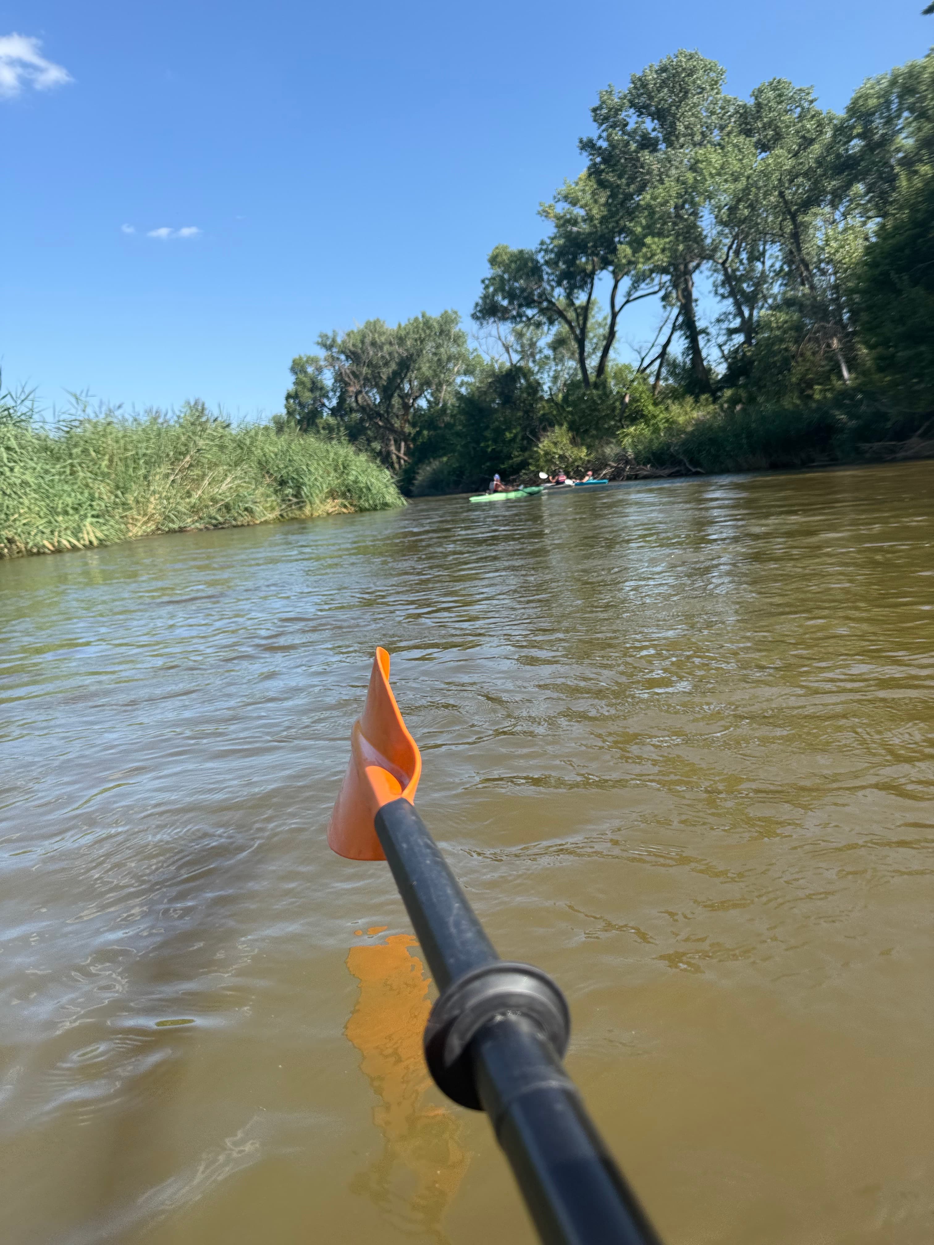
    Was a 5 mile float approximately but forgot to start the app until halfway in.
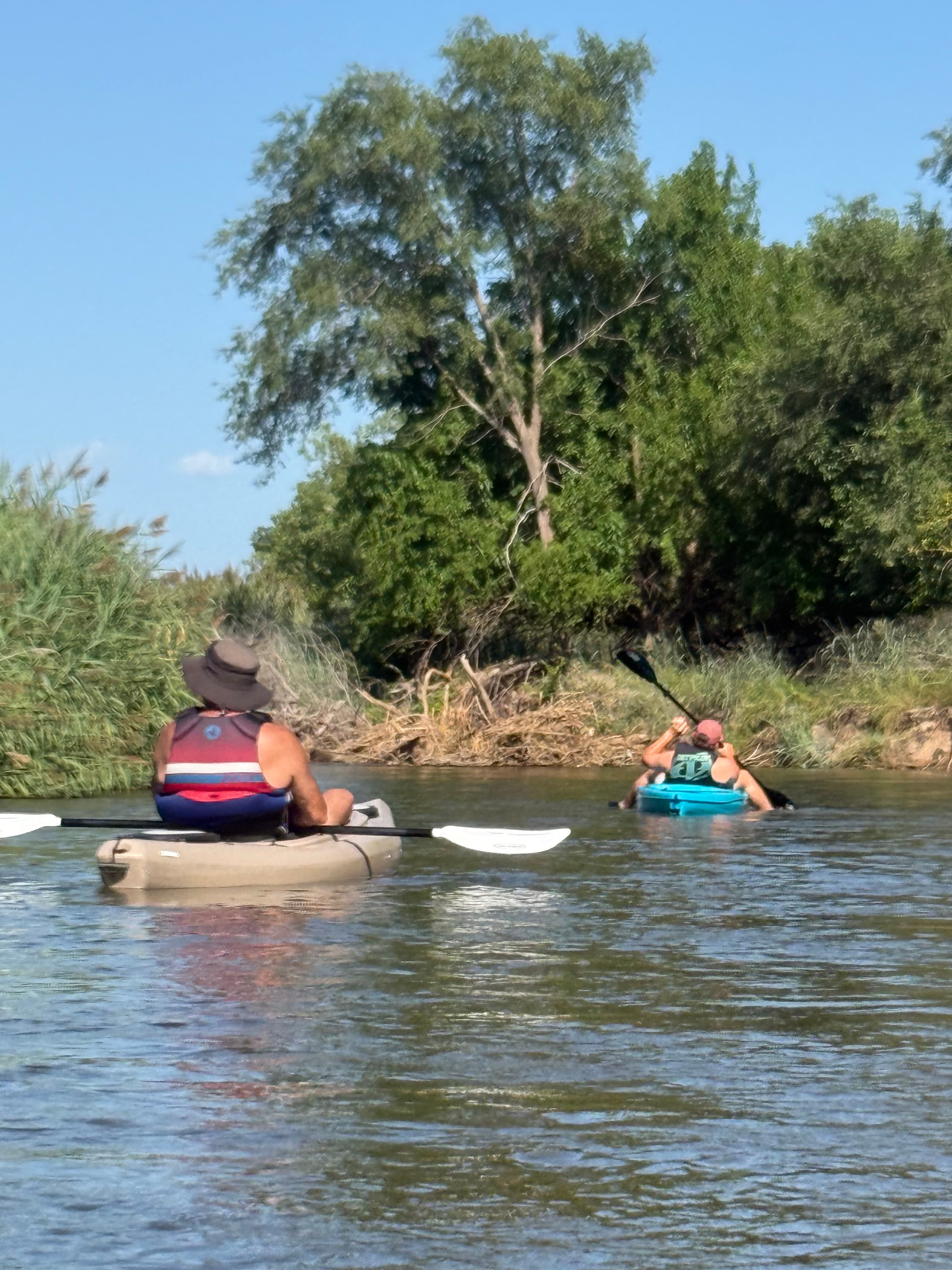
    • Photo 1 from Darren A.'s trip
    • Photo 2 from Darren A.'s trip
    • Photo 3 from Darren A.'s trip+3

Flows & weather (10 day forecast)

The gauges near Carey Park to Yoder Rd and the forecast where it starts, so you can pick your day.

No forecast data available.

Same water

More routes on the Arkansas River

The other curated routes on the Arkansas River, each with how it is running now.

Curated by PaddleWays

RouteClass IV

Distance
5.9 mi
Paddle time
~1.5 hrs
Best for
Experienced paddlers
Put-in → take-out
Numbers Boat Ramp → Railroad Bridge Boat Ramp
Curated by PaddleWays

RouteClass III

Distance
8.6 mi
Paddle time
~2 hrs
Put-in → take-out
Pinnacle Rock Boat Ramp → Parkdale Boat Ramp
Curated by PaddleWays

RouteClass III

Distance
11.8 mi
Paddle time
~3 hrs
Best for
Intermediate paddlers, experienced paddlers
Put-in → take-out
Ruby Mountain Campground Boat Ramp → Arkansas River Access
Seidel's Suck Hole gets massive at high water
Curated by PaddleWays

RouteClass II–III

Distance
0.5 mi
Paddle time
~0.5 hrs
Best for
Kayak
Put-in → take-out
Pueblo Access → Near Union Avenue Bridge Access
Curated by PaddleWays

RouteClass II–III

Distance
4.1 mi
Paddle time
~1 hr
Best for
Kayak
Put-in → take-out
Arkansas, Royal Gorge Take-out → Mackenzie Takeout Access
Pour-over near the put-in
Curated by PaddleWays

RouteClass IV–V

Distance
5.2 mi
Paddle time
~1.5 hrs
Best for
Experienced paddlers
Put-in → take-out
Granite Boat Ramp → Numbers Boat Ramp
Class IV-V+ rapids

Smarter Paddling Starts in the App.

PaddleWays gives you everything you need to plan smarter, paddle better, and own every trip from first launch to takeout.