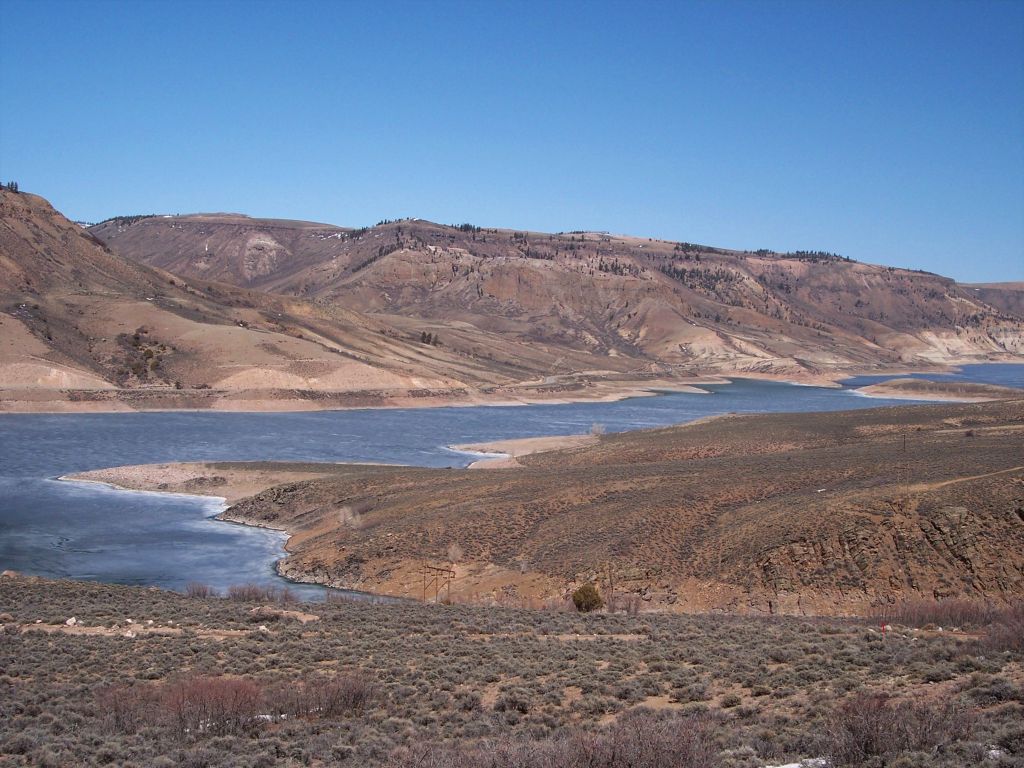
Blue Mesa Reservoir, the largest body of water in Colorado, offers 96 miles of shoreline for paddling adventures. Located in Curecanti National Recreation Area, this expansive reservoir provides diverse opportunities for kayaking, canoeing, paddleboarding, and windsurfing. The reservoir features several arms reaching into secluded canyons, allowing paddlers to explore quiet inlets away from motorized traffic.
Paddlers should be aware of strong afternoon winds and accompanying storms that can create hazardous conditions, particularly in summer. It's advisable to paddle in the calmer morning hours and watch for threatening clouds. Water temperatures remain cold throughout much of the season, so wetsuits are recommended for activities like windsurfing.
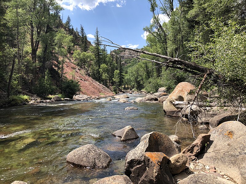
Popular paddling areas include the Bay of Chickens and Iola Basin for windsurfing. The Lake Fork arm, accessible past Sapinero, offers a narrow canyon experience where paddlers can venture upstream until reaching the inflowing river. This area also provides shelter from afternoon winds.
Inspection for aquatic invasive species is required for motorized boats and sailboats prior to launching, but hand-powered vessels like kayaks and paddleboards can launch without inspection or fees. Multiple access points are available along the shoreline.
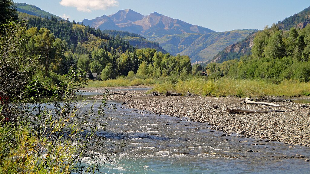
The reservoir typically experiences warmer water temperatures in late summer, making it more suitable for activities like water skiing. However, paddlers should always be prepared for cold water immersion. The surrounding landscape features high desert scenery and mountain views, providing a striking backdrop for paddling excursions.
Facilities for paddlers include campgrounds along the shoreline and boat rental services available at Elk Creek Marina and Lake Fork Marina. For longer adventures, boat-in campsites are established around the reservoir, though overnight camping is restricted in certain areas.