Plateau Creek
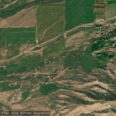
Plateau Creek
- Boat Ramps
- 0
- Access Points
- 0
- Campsites
- 0
Plateau Creek is a scenic waterway in western Colorado, originating in the Grand Mesa National Forest and flowing westward through Mesa County. This tributary of the Colorado River carves its way through the rugged landscape of the Colorado Plateau before joining the larger river near the town of Palisade. The creek offers two distinct paddling sections popular among whitewater enthusiasts.
The upper section, from Highway 65 to I-70, is a challenging 14.3-mile stretch with Class III-IV rapids and an average gradient of 33 feet per mile. This run is best suited for intermediate to advanced paddlers with solid whitewater skills. The Lower Canyon section, an 8-mile stretch from near the Colburn Cutoff to the confluence with the Colorado River, provides an excellent opportunity for advanced beginners. This narrow creek features Class II-III rapids, with the most exciting whitewater occurring in the latter half of the run.
Plateau Creek's flow is heavily influenced by snowmelt from the Grand Mesa, making late spring to early summer the prime paddling season. April is often cited as an ideal time for the Lower Canyon run, while the upper section may require monitoring of the Plateau Creek near Cameo gauge for optimal conditions. The creek's corridor supports a diverse ecosystem typical of the Colorado Plateau, with cottonwood galleries along the banks and desert flora adorning the canyon walls. Wildlife sightings may include mule deer, various raptors, and potentially bighorn sheep in the surrounding terrain.
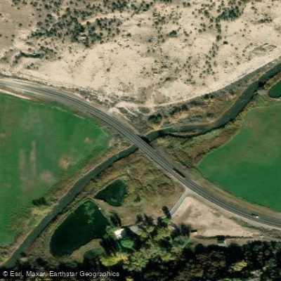
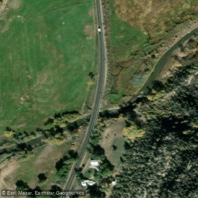
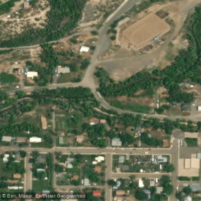
Access points are limited, with the main put-ins located at bridges crossing the creek. The town of Mesa serves as a nearby reference point for the upper section, while the Lower Canyon run concludes near the community of Palisade. Paddlers should be aware of potential hazards, including reports of barbed wire across the river downstream from the Colburn Cutoff put-in in recent years. The narrow nature of the creek makes it unsuitable for rafts over 9-10 feet, favoring kayaks, stand-up paddleboards, and other small craft.
While multi-day trips are not common on Plateau Creek itself, its proximity to the Colorado River offers opportunities to extend adventures by connecting to longer stretches of that larger waterway. Plateau Creek provides a quintessential western Colorado paddling experience, offering both technical challenges for experienced kayakers and scenic float opportunities for those looking to explore the unique landscape of the Colorado Plateau.
Water access, boat ramps & amenities
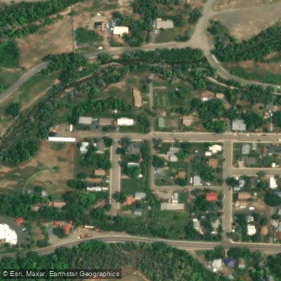
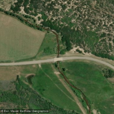
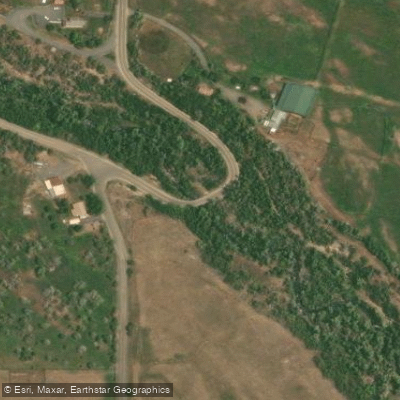
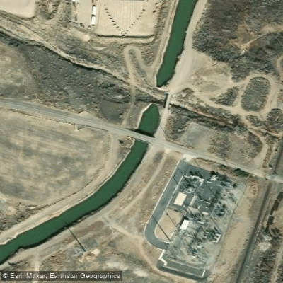
Learn how to get on Plateau Creek. Uncover great paddling access points, boat ramps, and all the facilities you need for an unforgettable day on the water. Some locations shown may border or include private property. Always check property boundaries and applicable regulations before visiting. PaddleWays's Public & Private Land layer can help you plan your access with confidence.
Paddle smarter with real-time insights
Whether you're en route and conditions shift or you're looking for the best spot based on current flows, we enable you to make informed decisions on the fly.








Find Places to Paddle

Over 400,000 Places to Paddle
Every user gets free access to launch points, boat ramps, and public property parcels.


Water and weather conditions (10 day forecast)
See the best times to paddle Plateau Creek and check the forecast before you go.
PLATEAU CREEK NEAR CAMEO, CO
All Flow Stations
Paddling near Plateau Creek

Colorado River
Gunnison River
Island Lake
Dolores River
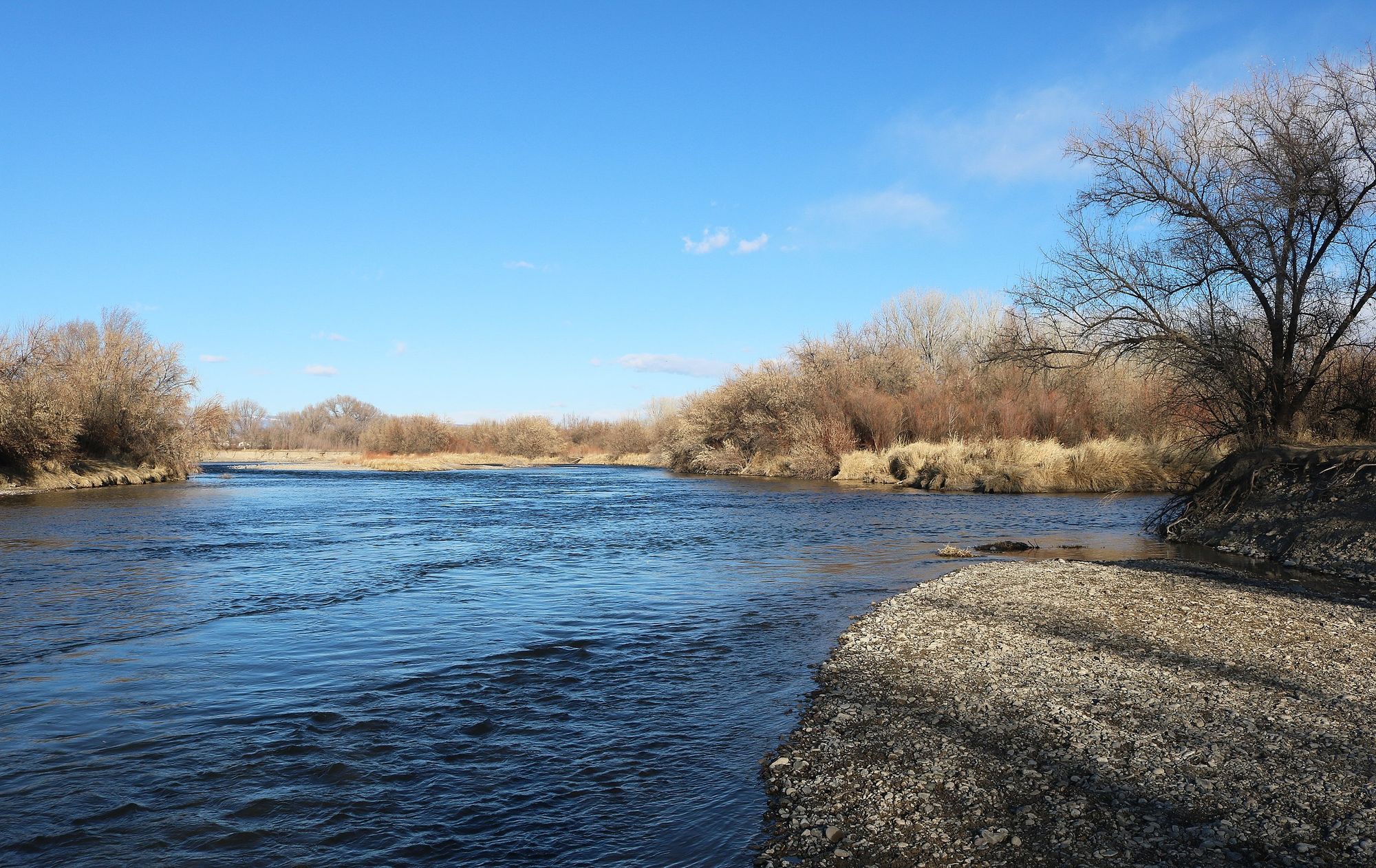
Uncompahgre River
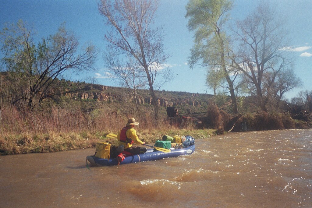
San Miguel River
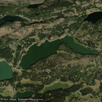
Eggleston Lake
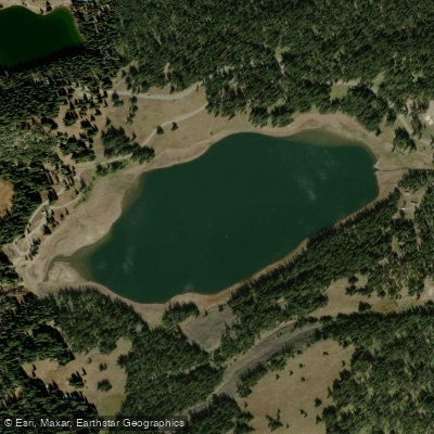
Deep Ward Lake
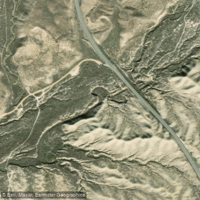
Mack Wash
Explore Colorado waters
Top paddling waters
Popular Cities
Loading popular cities...
Explore near Plateau Creek
Access points
Nearby waters
More in Colorado

Smarter Paddling Starts in the App.
Paddleways gives you everything you need to plan smarter, paddle better, and own every trip from first launch to takeout.