San Miguel River
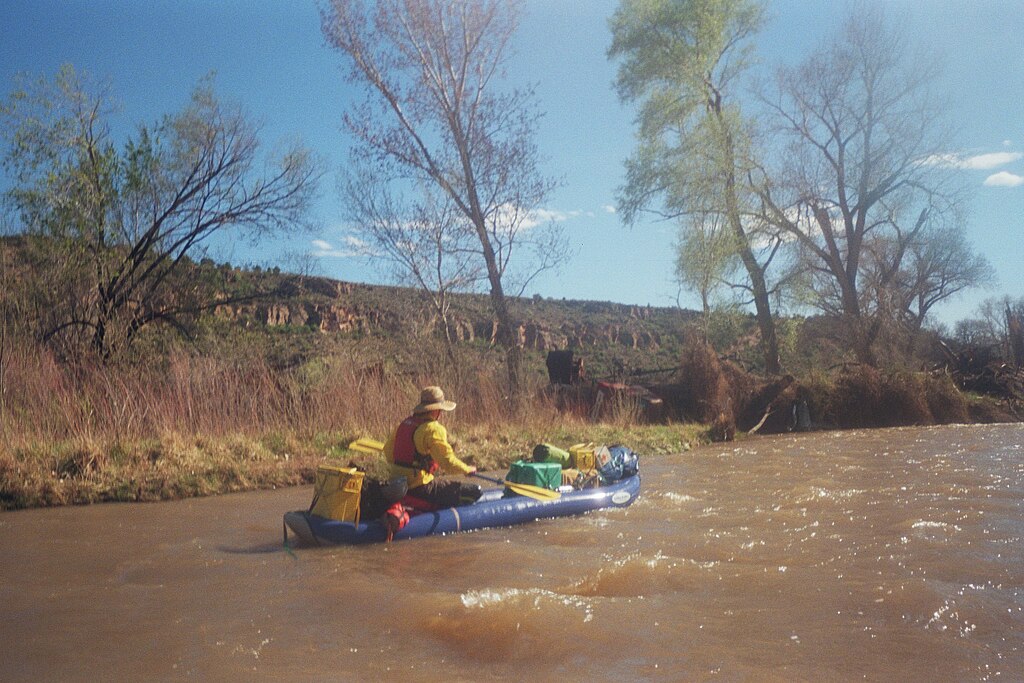
San Miguel River
- Boat Ramps
- 10
- Access Points
- 18
- Campsites
- 20
The San Miguel River originates high in the San Juan Mountains near Telluride, Colorado, flowing northwest for approximately 81 miles before joining the Dolores River. This free-flowing river drops over 7,000 feet in elevation as it transitions from alpine meadows to high desert canyons. Paddling opportunities abound on the San Miguel, with over 75 miles of navigable water. The upper reaches near Telluride offer challenging Class III-IV whitewater, including the technical Keystone Gorge. As the river descends, it mellows into Class II-III rapids through scenic canyons. The lower sections provide more relaxed Class I-II floating as the river widens. The San Miguel caters to a range of skill levels, from experts tackling the upper gorges to beginners enjoying the gentler lower stretches. However, its shallow, narrow nature requires active paddling and maneuvering even in calmer sections.
Peak flows typically occur in late May to early July during spring snowmelt. The paddling season can extend into August in high water years. Fall brings lower water levels ideal for fishing trips.
The river corridor supports diverse ecosystems, from high-altitude spruce-fir forests to pinyon-juniper woodlands and cottonwood groves in the lower canyons. Wildlife includes mule deer, elk, black bears, and a variety of bird species.
Key landmarks include the town of Telluride, Norwood Canyon, and the historic Hanging Flume structure. The river passes near the communities of Placerville, Norwood, and Naturita. Popular access points include Telluride Town Park, Down Valley Park near Placerville, Caddis Flats, and Beaver Creek. Multiple BLM recreation sites provide additional put-ins and take-outs.
The San Miguel played a crucial role in the region's mining history, powering mills and transporting timber. Today, it's an important recreational resource and supports local agriculture.
Paddlers should be aware of potential strainers, especially in high water. Some sections have dams and fences to navigate. Private property lines portions of the river, so respect posted signs. Multi-day trips are possible, with primitive camping available on public lands. A popular overnight run is from Fall Creek Road to Norwood Bridge, showcasing the river's transition from mountains to desert.
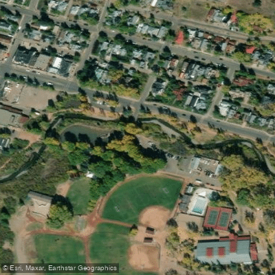
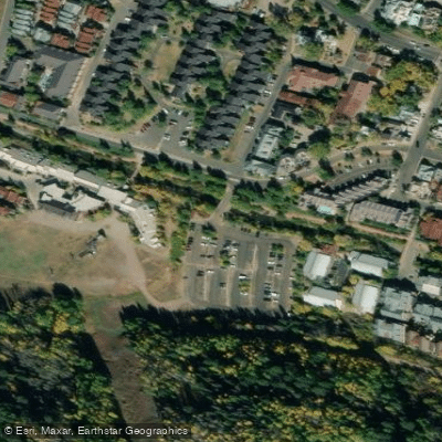
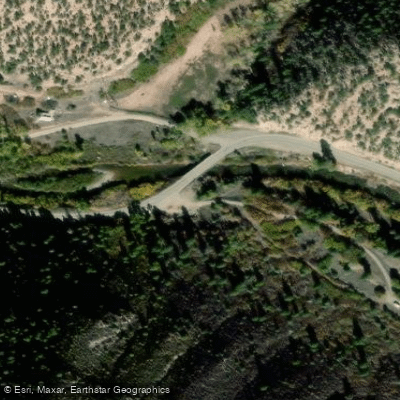
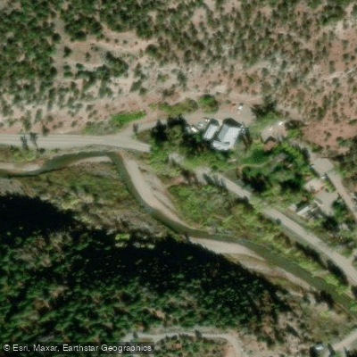
Water access, boat ramps & amenities
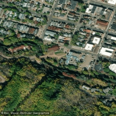
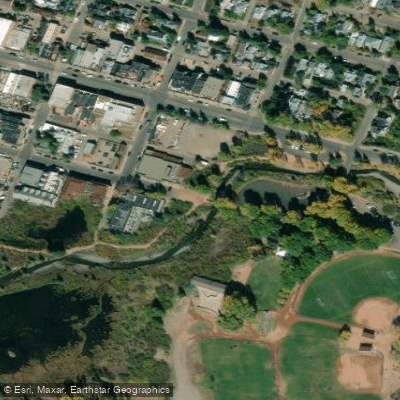
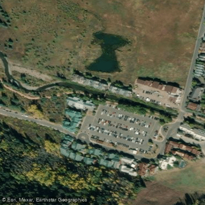
Learn how to get on San Miguel River. Uncover great paddling access points, boat ramps, and all the facilities you need for an unforgettable day on the water. Some locations shown may border or include private property. Always check property boundaries and applicable regulations before visiting. PaddleWays's Public & Private Land layer can help you plan your access with confidence.
Paddle smarter with real-time insights
Whether you're en route and conditions shift or you're looking for the best spot based on current flows, we enable you to make informed decisions on the fly.








Find Places to Paddle

Over 400,000 Places to Paddle
Every user gets free access to launch points, boat ramps, and public property parcels.


Water and weather conditions (10 day forecast)
See the best times to paddle San Miguel River and check the forecast before you go.
SAN MIGUEL RIVER NEAR PLACERVILLE, CO
All Flow Stations
Paddling near San Miguel River
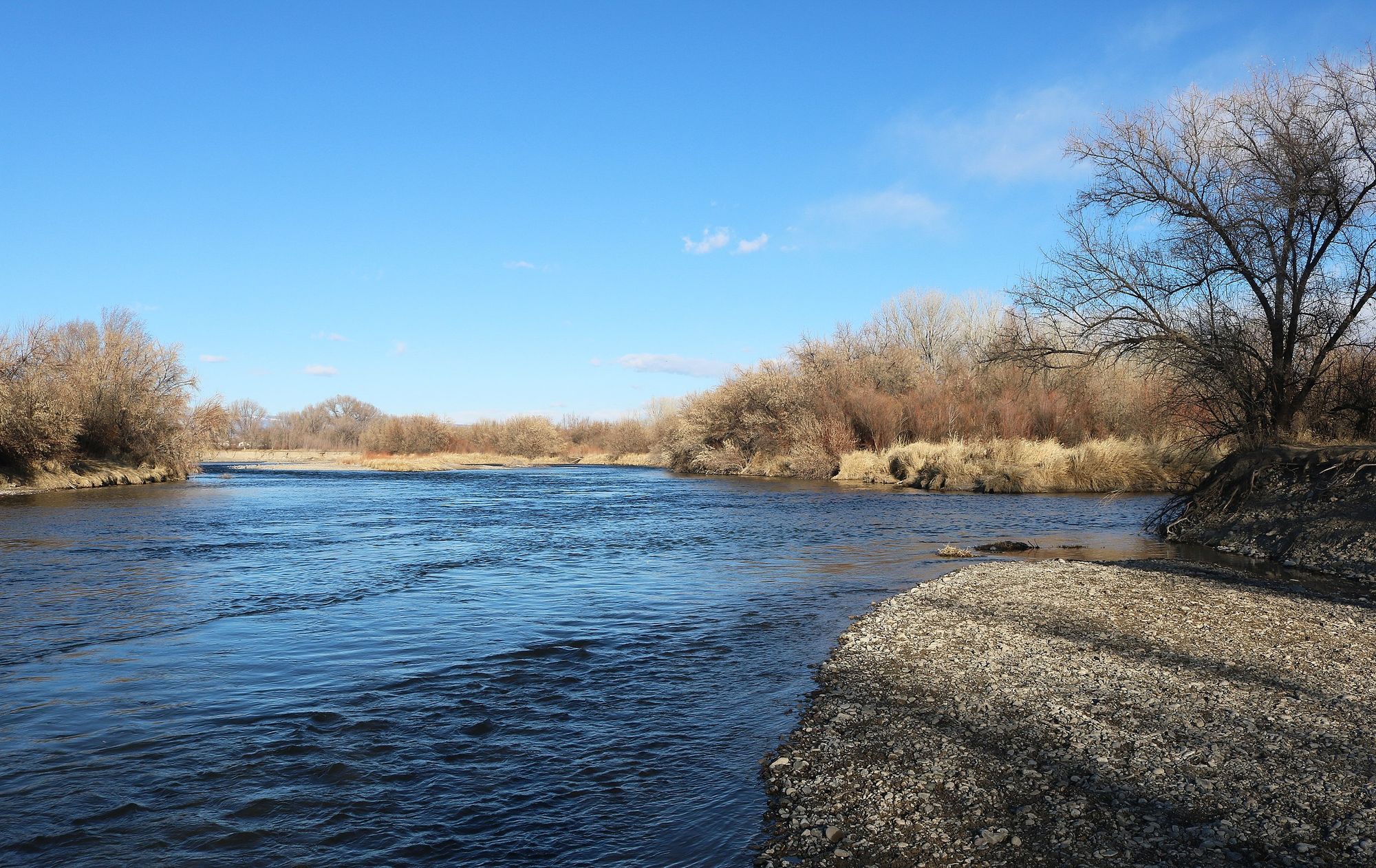
Uncompahgre River
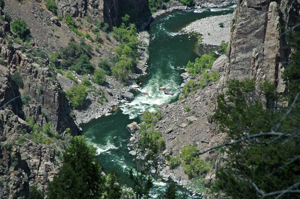
Gunnison River
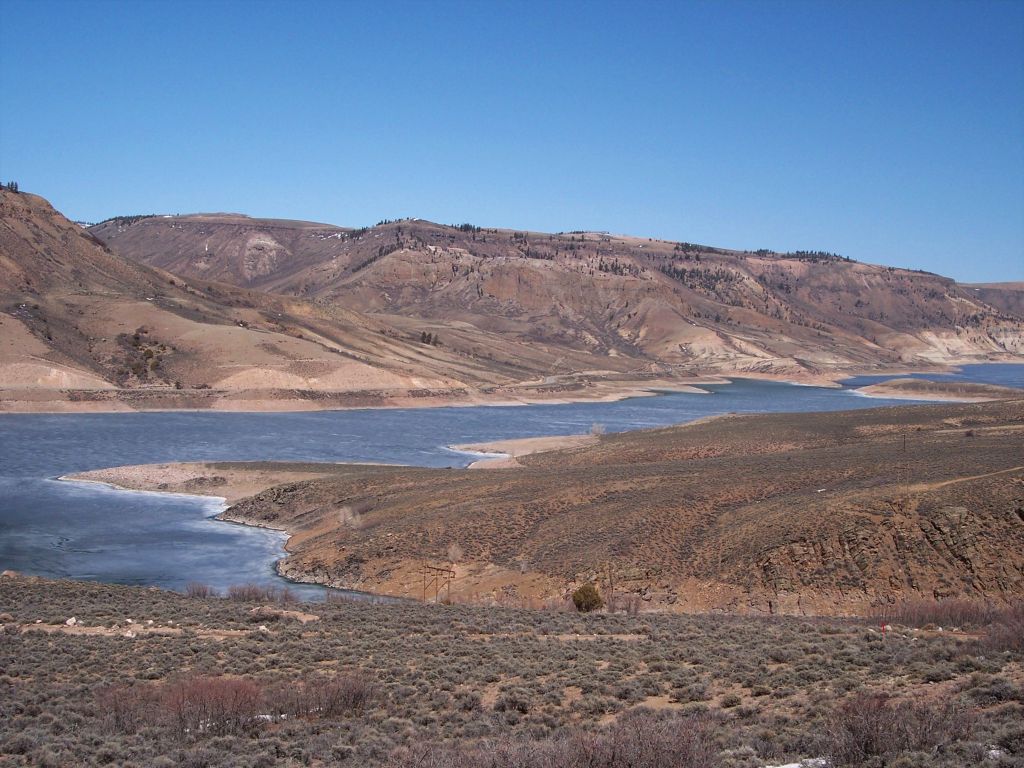
Blue Mesa Reservoir
Island Lake
Lake Fork
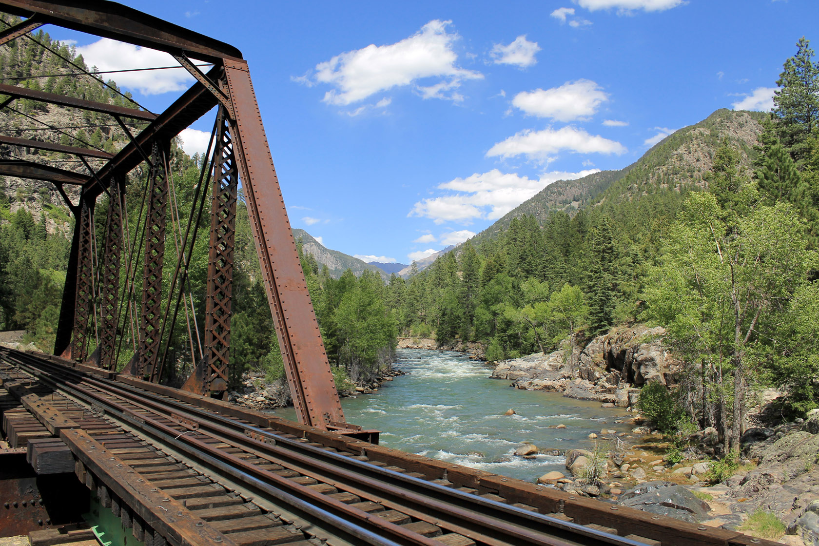
Animas River

Rio Grande
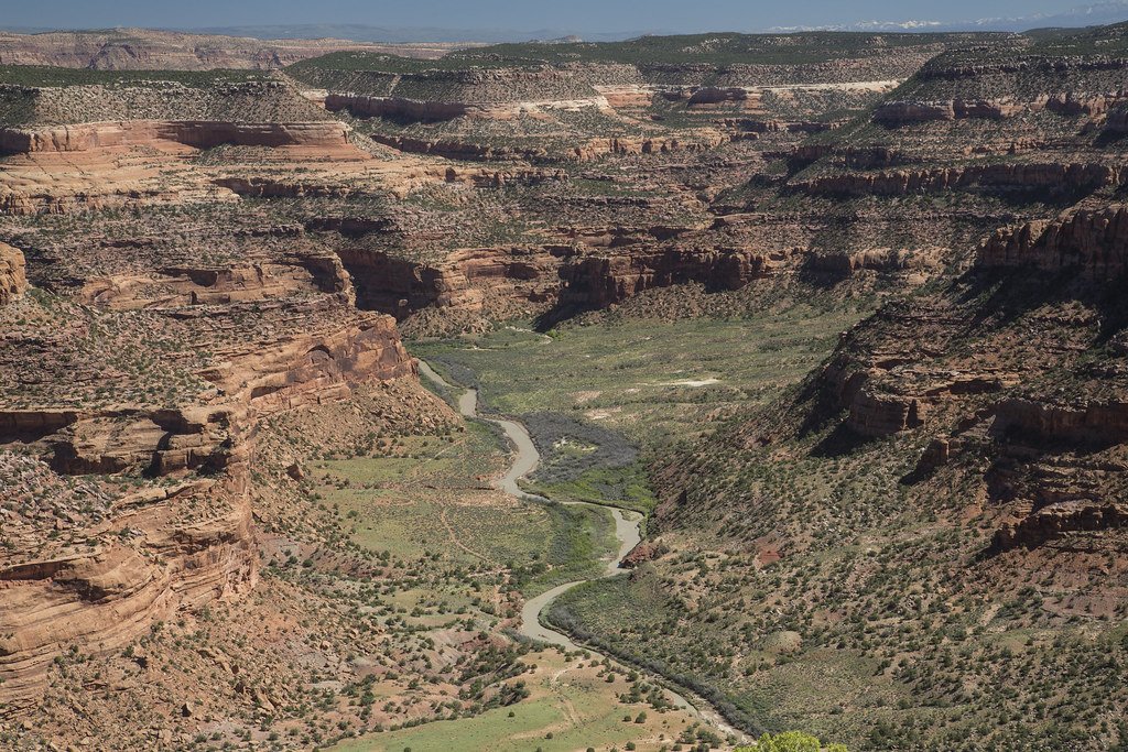
Dolores River
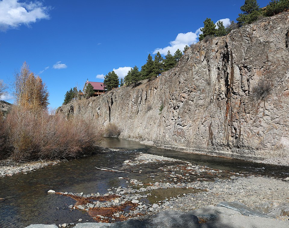
Henson Creek
Explore Colorado waters
Top paddling waters
Popular Cities
Loading popular cities...
Explore near San Miguel River
Access points
Nearby waters
More in Colorado

Smarter Paddling Starts in the App.
Paddleways gives you everything you need to plan smarter, paddle better, and own every trip from first launch to takeout.