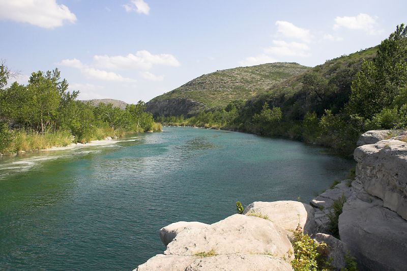
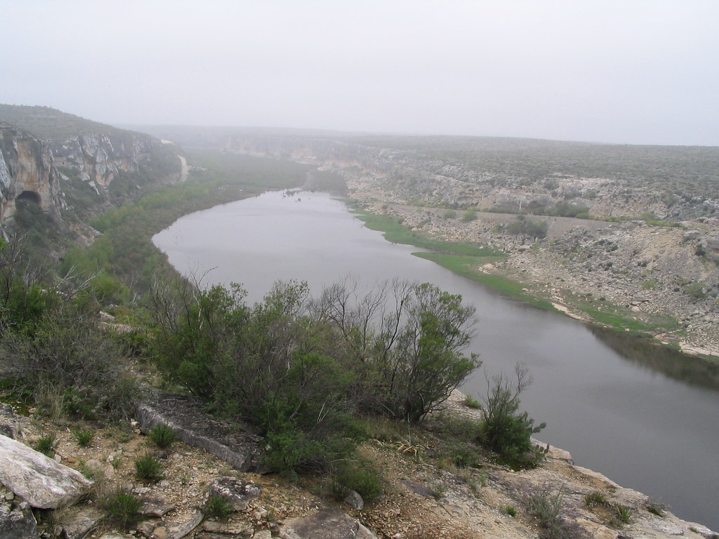
Amistad Reservoir, located in Texas, offers paddlers a diverse experience with wide-open water and steep-walled river canyons. The lake boasts 850 miles of shoreline and covers 68,000 acres, straddling the U.S.-Mexico border. Its limestone bottom and underwater springs contribute to exceptionally clear water, with visibility reaching up to 25 feet in spring and 8-15 feet in summer.
Several boat ramps provide access, including Spur 454, Black Brush, Box Canyon, and Rough Canyon. The National Park Service suggests seven paddle trails, ranging from day trips to multi-day adventures. Notable routes include the 3.2-mile Spur 454 to San Pedro Creek trail and the challenging 16-mile round-trip from Rough Canyon to Indian Springs.
Paddlers should be aware of strong winds, typically 15-20 mph from the south or southeast, with 20-30 mph gusts not uncommon. North winds can occur in fall and winter. Water temperatures vary from about 55°F in winter to 85°F in summer.
The lake's unique features include numerous caves, limestone bluffs, and archaeological sites. Parida Cave and Panther Cave showcase 4,000-year-old Native American rock art. Wildlife sightings may include blue herons, egrets, and deer.
Safety considerations include limited cell phone coverage and the inability of Park Rangers to assist on the Mexico side of the reservoir. Paddlers must bring ample water, sun protection, and pack out all trash. Glass containers are prohibited.
Facilities vary by location, with some areas offering boat ramps, picnic areas, and camping opportunities. The Box Canyon area provides backcountry camping possibilities. Fishing is permitted, but a Mexican fishing license is required when in Mexican waters.
For experienced paddlers, the Devils River trip from Bakers Crossing to Rough Canyon offers a challenging 47.7-mile journey, requiring at least three days to complete.