Boundary Channel
- Saltwater
- Channel
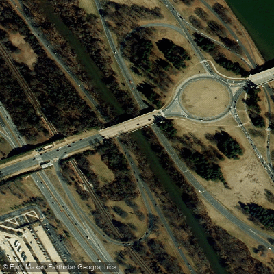
Boundary Channel
- Saltwater
- Channel
- Sq. miles
- 0
- Boat Ramps
- 0
- Access Points
- 0
- Campsites
- 0
Boundary Channel is a sheltered tidal channel that parallels the west bank of the Potomac River in the Washington, D.C. area, forming Columbia Island. It offers a pocket of quiet, no-wake paddling in the heart of Pentagon City, providing a calmer alternative to the main river. The channel runs from near the Pentagon north to the southern end of Theodore Roosevelt Island, where it reconnects with the Potomac. A key consideration for paddlers is the tidal nature of the Potomac River system. The channel is shallow, and paddlers must ensure the tide is high or they risk running aground. Planning a trip to paddle with the tide is advisable, and the channel can be used to bypass rougher conditions on the open river, especially later in the day when winds often build.
The primary public access point is Gravelly Point Park, located on the east side of the George Washington Parkway immediately north of Ronald Reagan National Airport. This site offers four concrete boat ramps with adjacent floating docks, adjacent paved and unpaved parking at no fee, restrooms, and picnic tables. An alternative launch is Columbia Island Marina, though this is a private facility. From Gravelly Point, paddlers typically head east onto the Potomac and then north to find the southern entrance to the channel. The final mile back to the park from the channel's northern exit requires negotiating the open Potomac. Motorboat traffic is generally light on weekdays but increases on weekends, particularly around and below Key Bridge, creating wake. The area is urban, with constant sounds of capital traffic and overhead flights, but the channel itself becomes more natural-looking as you paddle north. Notable sights include a striking, close-up view of the Pentagon at the channel's western turn, with manicured gardens and a large flag, and the War College building along its banks. Water quality can be an issue after heavy rain, as raw sewage may be present in the river system. Paddlers should also be mindful of vehicle security at access points, avoiding leaving valuables in cars.
Water access, boat ramps & amenities
Learn how to get on Boundary Channel. Uncover great paddling access points, boat ramps, and all the facilities you need for an unforgettable day on the water. Some locations shown may border or include private property. Always check property boundaries and applicable regulations before visiting. PaddleWays's Public & Private Land layer can help you plan your access with confidence.
Paddle smarter with real-time insights
Whether you're en route and conditions shift or you're looking for the best spot based on current flows, we enable you to make informed decisions on the fly.







District Of Columbia licenses and regulations
No licenses or regulations available for District Of Columbia.
Find Places to Paddle

Over 400,000 Places to Paddle
Every user gets free access to launch points, boat ramps, and public property parcels.


Tides, wind & water conditions (10 day forecast)
On open water, wind and tide matter as much as the weather. See the best times to paddle Boundary Channel and check the marine forecast before you launch.
Loading tide predictions…
Paddling near Boundary Channel

Potomac River
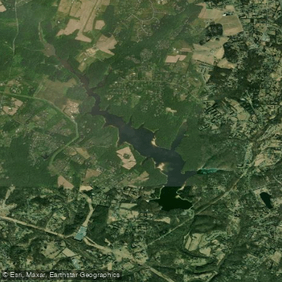
Triadelphia Reservoir
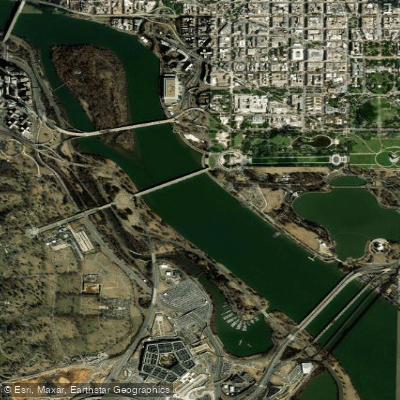
Georgetown Channel

Patuxent River
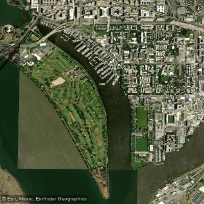
Washington Channel
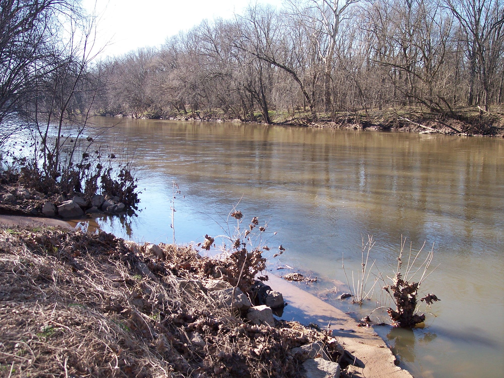
Monocacy River
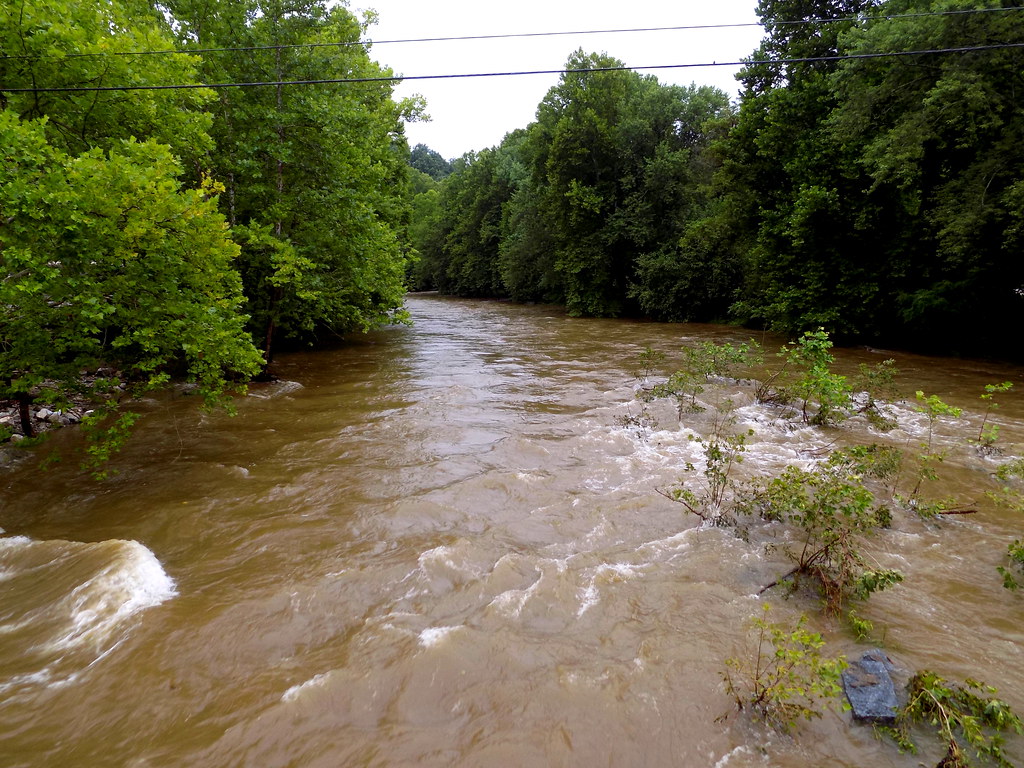
Patapsco River
Tidal Basin
Shenandoah River
Explore District Of Columbia waters
Top paddling waters
No waters available right now.
Popular Cities
Loading popular cities...
Explore near Boundary Channel

Smarter Paddling Starts in the App.
Paddleways gives you everything you need to plan smarter, paddle better, and own every trip from first launch to takeout.