Curated by PaddleWays
RouteClass III–IV
- Distance
- 14.4 mi
- Paddle time
- ~3.5 hrs
- Best for
- Experienced paddlers
- Put-in → take-out
- Barber Flat Bridge Access → Middle Fork Access
Continuous Class III-IV rapids
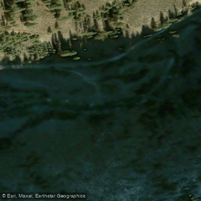
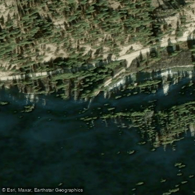
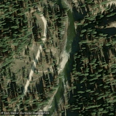
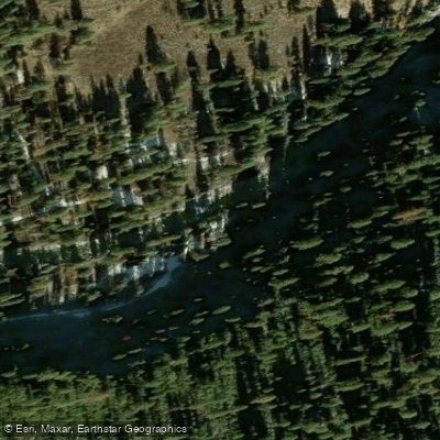
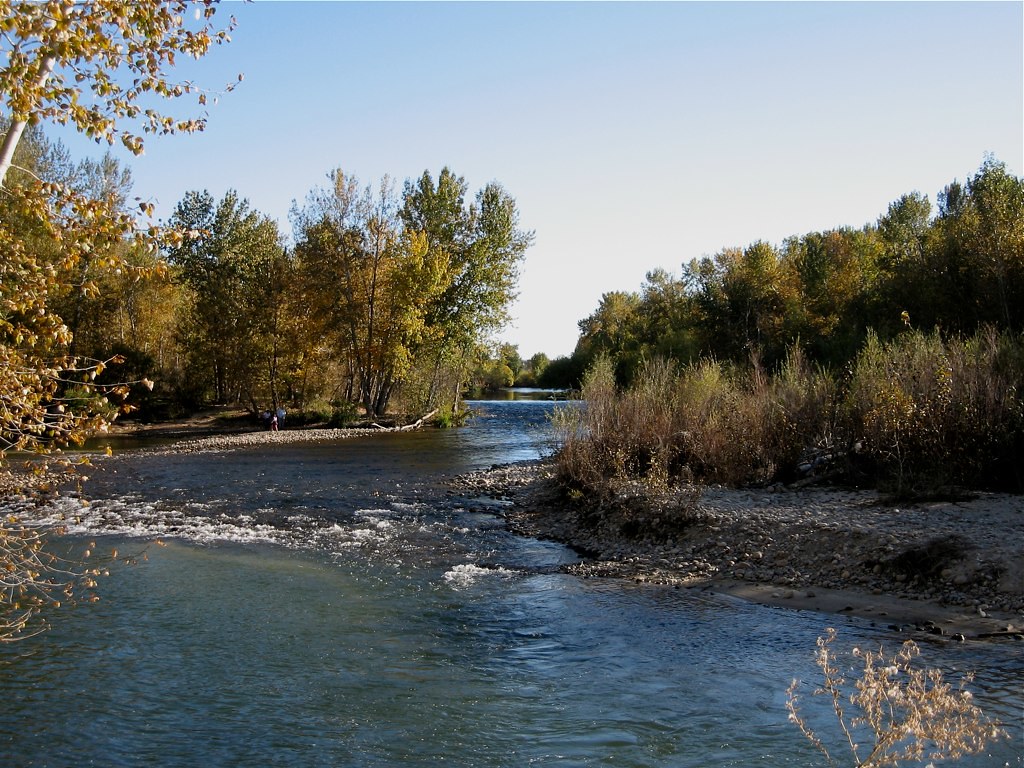
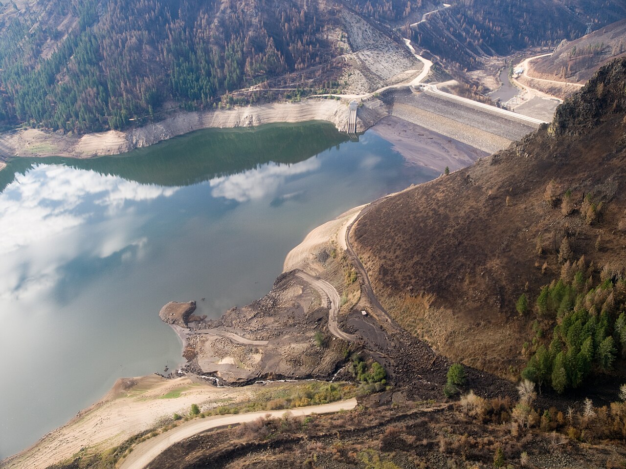
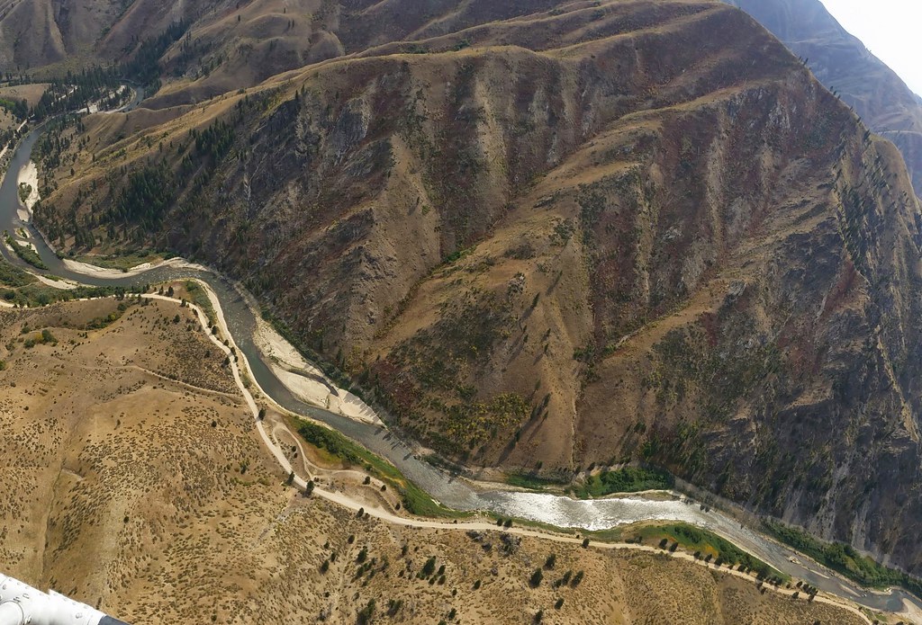
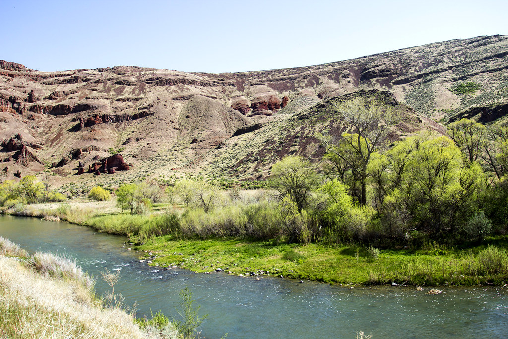
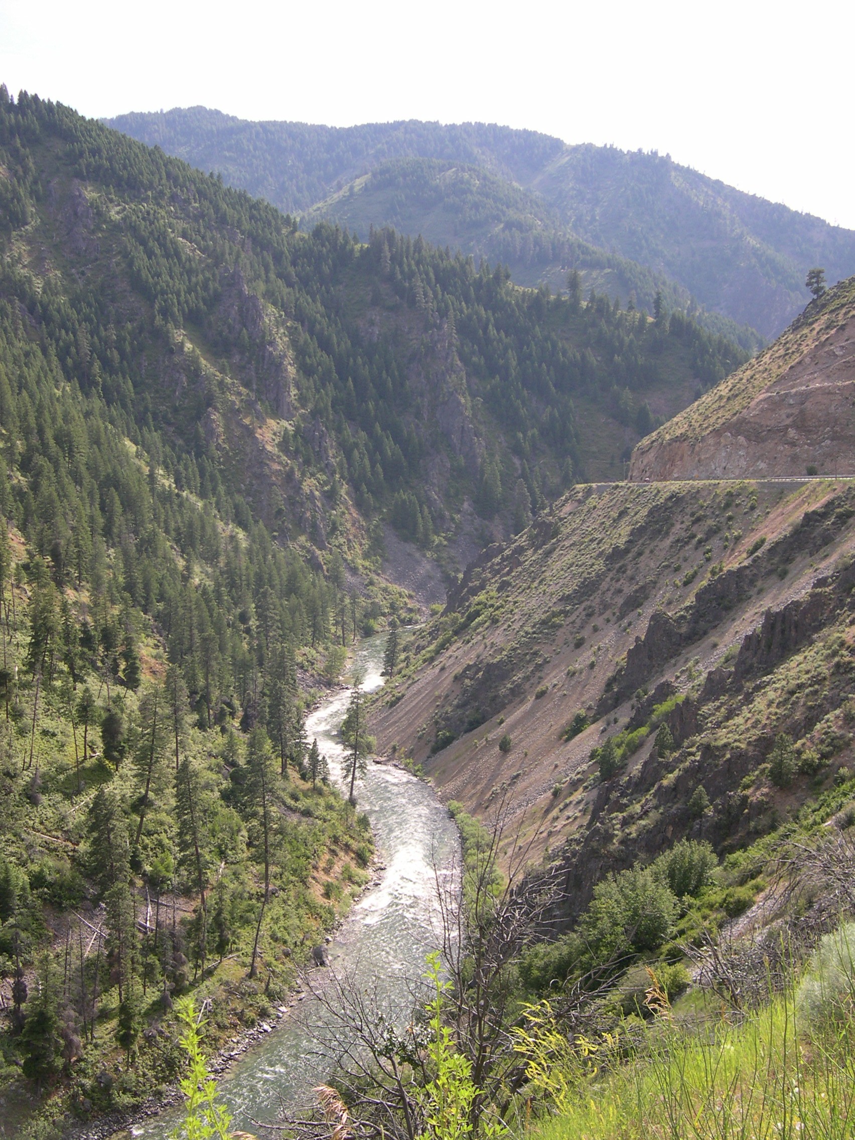
The North Fork Boise River is a scenic and challenging waterway in southwestern Idaho. Originating in the Sawtooth National Forest, it flows southwest through the Boise National Forest before joining the Middle Fork Boise River to form the main stem of the Boise River. The North Fork drains a significant portion of the Boise River watershed, playing a crucial role in the region's hydrology.
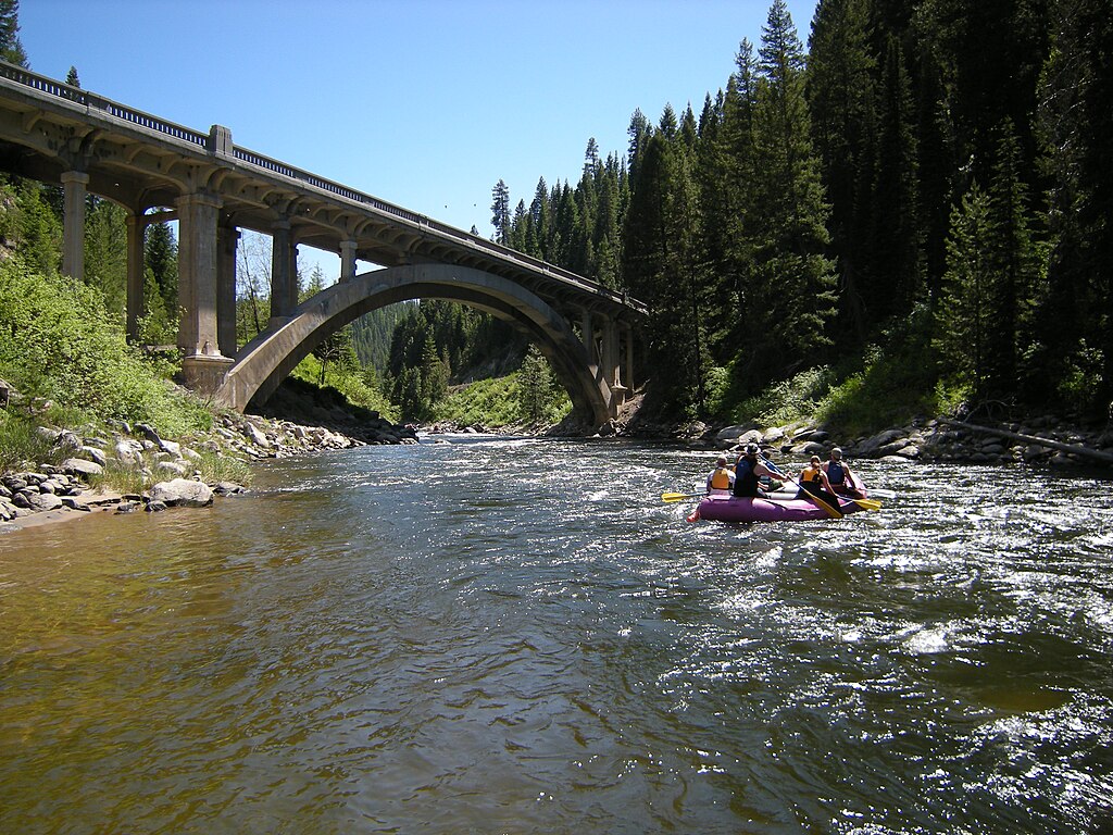
For paddlers, the North Fork offers exhilarating whitewater experiences. The most popular section runs 12 miles from Barber Flat to the confluence with the main Boise River near Troutdale. This stretch features continuous Class III-IV rapids, making it suitable for experienced whitewater enthusiasts. Just upstream of the Middle Fork confluence, a short but intense half-mile section provides additional Class III-IV thrills. The river's difficulty ranges from Class III to IV, requiring solid whitewater skills, proper equipment, and the ability to read and navigate complex rapids. Paddlers should be comfortable with swift water rescue techniques.
Spring snowmelt typically provides the best conditions for running the North Fork, usually from late May through June. However, the exact timing can vary based on snowpack and weather patterns. By late summer, lower water levels may make some sections too bony for enjoyable paddling.
The North Fork corridor supports diverse wildlife, including elk, deer, and various bird species. The surrounding Boise National Forest features stands of ponderosa pine and Douglas fir, creating a picturesque backdrop for river trips. Key landmarks include Barber Flat, a popular put-in point, and the confluence areas with both the Middle Fork and main Boise River. The remote nature of much of the run adds to its wilderness appeal.
Access to the North Fork can be challenging due to its location in the Boise National Forest. The main put-in at Barber Flat is reached via forest roads, while the take-out near Troutdale requires careful planning due to the long shuttle. The nearest major city is Boise, about 30 miles southwest of the river's lower reaches.
Historically, the North Fork played a role in early logging operations and gold mining in the region. Today, it's valued for its recreational opportunities and as a vital water source for the Boise area.
Safety is paramount on the North Fork. Its remote setting means emergency services are far away. Paddlers should be self-sufficient and prepared for changing weather conditions. All users should follow Leave No Trace principles to preserve the river's natural beauty.
While primarily known for day trips, multi-day adventures are possible for those willing to camp along the river. However, careful planning is essential due to the limited access points and challenging terrain.
Curated routes
Hand-picked by the PaddleWays team, with put-ins, take-outs, paddle times and the hazards along the way.
RouteClass III–IV
Hazards
No hazards are marked on North Fork Boise River yet. That is not the same as none being there: if you find one, report it for the next paddler.
From the community
Nobody has shared a trip on North Fork Boise River yet. Paddle it, then tell the next paddler how it went.
See exactly where the public can get on and off the river. Launch points and boat ramps are paired with PaddleWays' public land data so you know where you can legally land.
Public shoreline
100%of the river's shoreline is public
Flows, weather and a route-by-route verdict, so you know which stretch of the North Fork Boise River is worth paddling today.
No forecast data available.
Live flows, marked hazards and fresh trip reports from paddlers who were just on the water, all in one place.





Every user gets free access to launch points, boat ramps, and public property parcels.
When using any type of watercraft to access a body of water, it is important to follow all federal, state, and local rules and regulations. These rules and regulations include boat permitting and licensing, invasive species inspections and stamps, life jacket and PFD rules, motor size and horsepower restrictions, noise limitations, restrictions on personal watercraft, and many more. Visit the web link below for the most current rules and regulations for this body of water.
When using any type of watercraft to access a body of water, it is important to follow all federal, state, and local rules and regulations. These rules and regulations include boat permitting and licensing, invasive species inspections and stamps, life jacket and PFD rules, motor size and horsepower restrictions, noise limitations, restrictions on personal watercraft, and many more. Visit the web link below for the most current rules and regulations for this body of water.
"To fish in Idaho any person 14 years of age or older must have a valid fishing license. Anglers younger than 14 do not need a license, but there is a small difference between resident and nonresident youth. -A resident child under 14 has their own separate fishing limit. -A nonresident child under 14 must be with someone who has a valid fishing license and their fish are in included in the license holders fishing limit. However, a nonresident child may purchase their own license and have their own limit. Special fishing permits are need for some activities for both residents and nonresidents: -Fishing for salmon and steelhead -Fishing with two poles."
This river has a variety of species and regulations, including potential floating and/or watercraft restrictions. Because this river is specially managed for species, seasons, angling methods, and watercraft, it is strongly encouraged you check all federal, state, and local regulations before fishing. Visit any of the links below, inquire locally, or contact a local fly shop to learn current regulations and restrictions.
Navigable streams are recognized as public transportation corridors, thus members of the public have the right to use the corridor, provided they enter and exit the corridor at a public right of way and remain within the corridor. Many navigable streams flow through private property, thus it is important that anglers know their rights and responsibilities when fishing in navigable waters that flow through private property.
Loading popular cities...
PaddleWays gives you everything you need to plan smarter, paddle better, and own every trip from first launch to takeout.