Malheur River
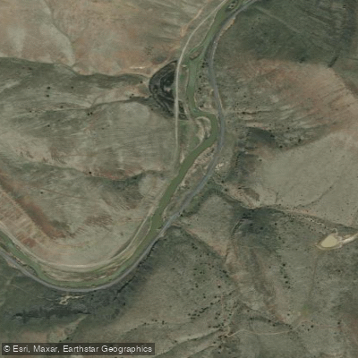
Malheur River
- Boat Ramps
- 0
- Access Points
- 0
- Campsites
- 13
The Malheur River is a significant waterway in eastern Oregon, originating in the Blue Mountains and flowing generally southeast for approximately 165 miles before joining the Snake River near Ontario, Oregon. Its major tributaries include the North Fork and Middle Fork Malheur Rivers, as well as Bluebucket Creek. The river offers diverse paddling opportunities across its length.
The upper reaches, including the Wild and Scenic North Fork section, feature scenic canyons and some whitewater challenges suitable for intermediate to advanced paddlers. The 22.9-mile North Fork stretch runs through the Malheur National Forest, offering Class I-III rapids depending on water levels. The Middle Fork, including Bluebucket Creek, provides a more intense 47-mile whitewater run with Class III-IV rapids like Grassy Flat Falls and Hurricane Creek Falls.
As the river descends from the mountains, it transitions through ponderosa pine forests into a sagebrush and juniper landscape. Wildlife viewing opportunities abound, with species like Rocky Mountain elk, mule deer, black bear, and various bird species inhabiting the river corridor.
The best paddling season is typically late spring through early summer when snowmelt provides adequate water levels. However, flow can be unpredictable, and paddlers should check conditions before trips. Access points vary by section. The North Fork can be reached via Forest Road 13 near Prairie City. The Middle Fork put-in is at Malheur Ford. Downstream, a 3.3-mile water trail near Ontario is being developed for flatwater paddling, though water quality concerns exist in this lower section.
Historically, the Malheur River was important to Native American tribes and later played a role in early settlement and ranching. Today, portions are protected under the Wild and Scenic Rivers Act, preserving their natural and recreational values. Multi-day trips are possible on the longer whitewater sections, but paddlers should be prepared for remote conditions with limited access. No motorized vehicles are allowed in some river canyons. All users should practice Leave No Trace principles and be aware of fire restrictions during dry seasons.
For less experienced paddlers, the proposed Ontario Water Trail offers an easier option when completed, though water quality should be checked. Overall, the Malheur River provides a range of paddling experiences, from challenging whitewater to scenic floats, set against the backdrop of eastern Oregon's diverse landscapes.
Water access, boat ramps & amenities
Learn how to get on Malheur River. Uncover great paddling access points, boat ramps, and all the facilities you need for an unforgettable day on the water. Some locations shown may border or include private property. Always check property boundaries and applicable regulations before visiting. PaddleWays's Public & Private Land layer can help you plan your access with confidence.
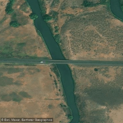
Malheur R (sperry) Bridge
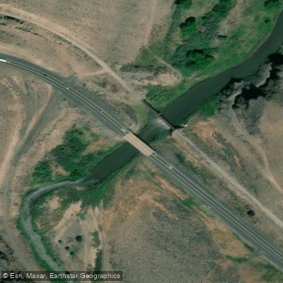
Malheur R (diversion) Bridge
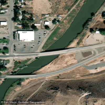
Malheur R (vale) Bridge
Malheur R (gwynn) Bridge
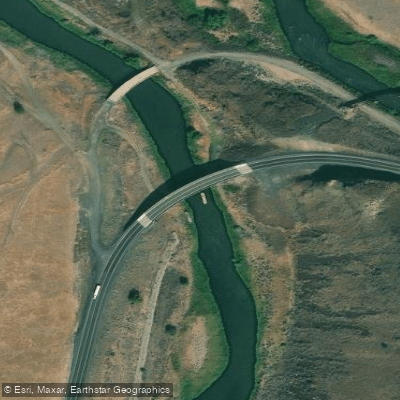
Malheur R (horseshoe B.) Bridge
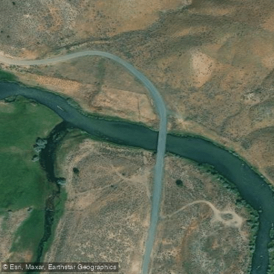
Malheur River (red Bridg Bridge
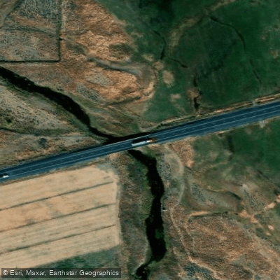
Mid Fork Malheur River Bridge
Malheur River Bridge
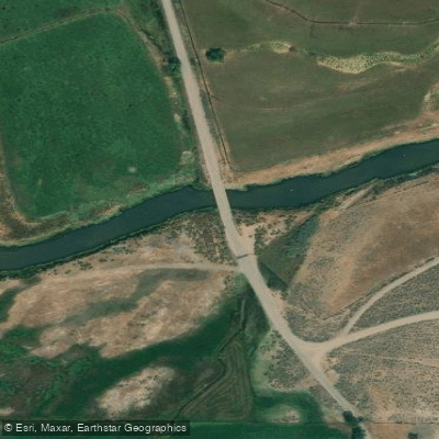
Malheur River Bridge
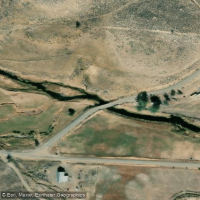
Malheur River Bridge
Paddle smarter with real-time insights
Whether you're en route and conditions shift or you're looking for the best spot based on current flows, we enable you to make informed decisions on the fly.








Find Places to Paddle

Over 400,000 Places to Paddle
Every user gets free access to launch points, boat ramps, and public property parcels.


Water and weather conditions (10 day forecast)
See the best times to paddle Malheur River and check the forecast before you go.
MALHEUR RIVER BELOW NEVADA DAM NEAR VALE OR
All Flow Stations
Paddling near Malheur River
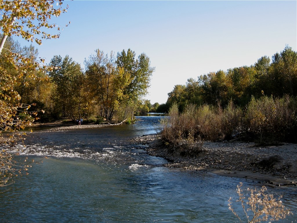
Boise River
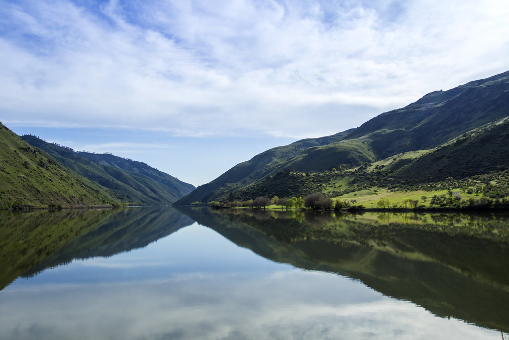
Snake River
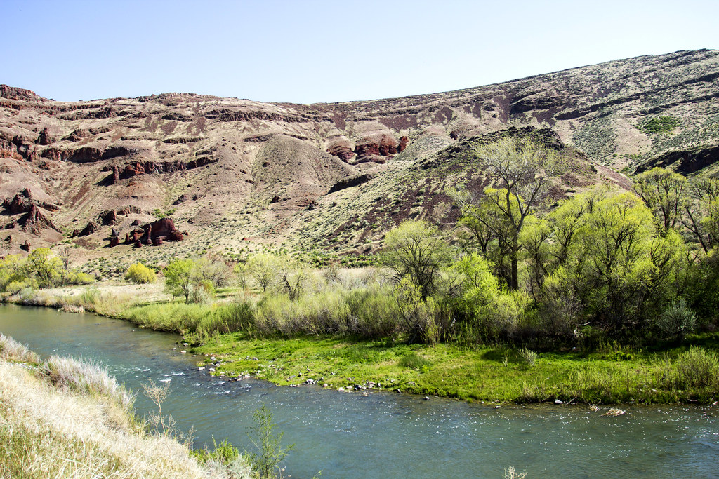
Owyhee River
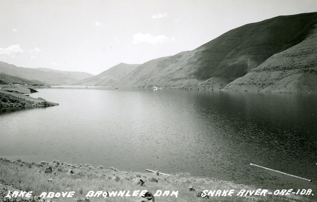
Brownlee Reservoir
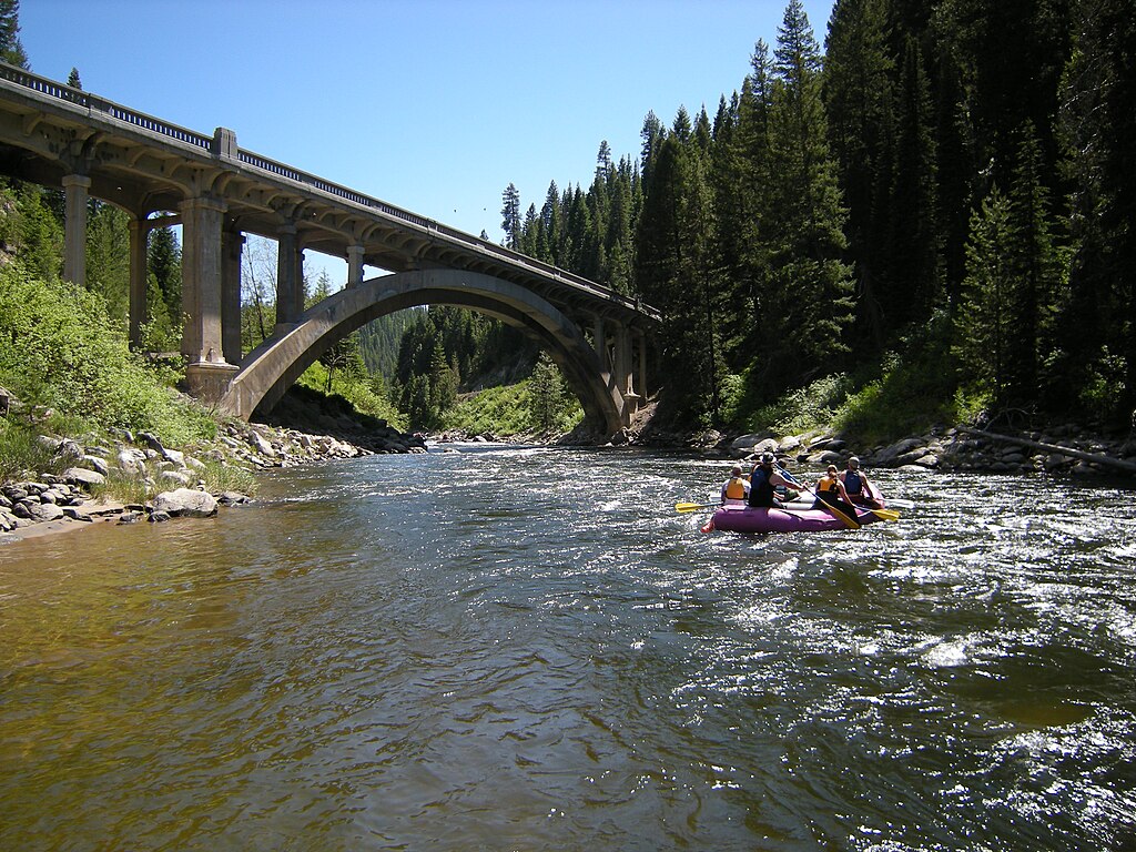
North Fork Payette River
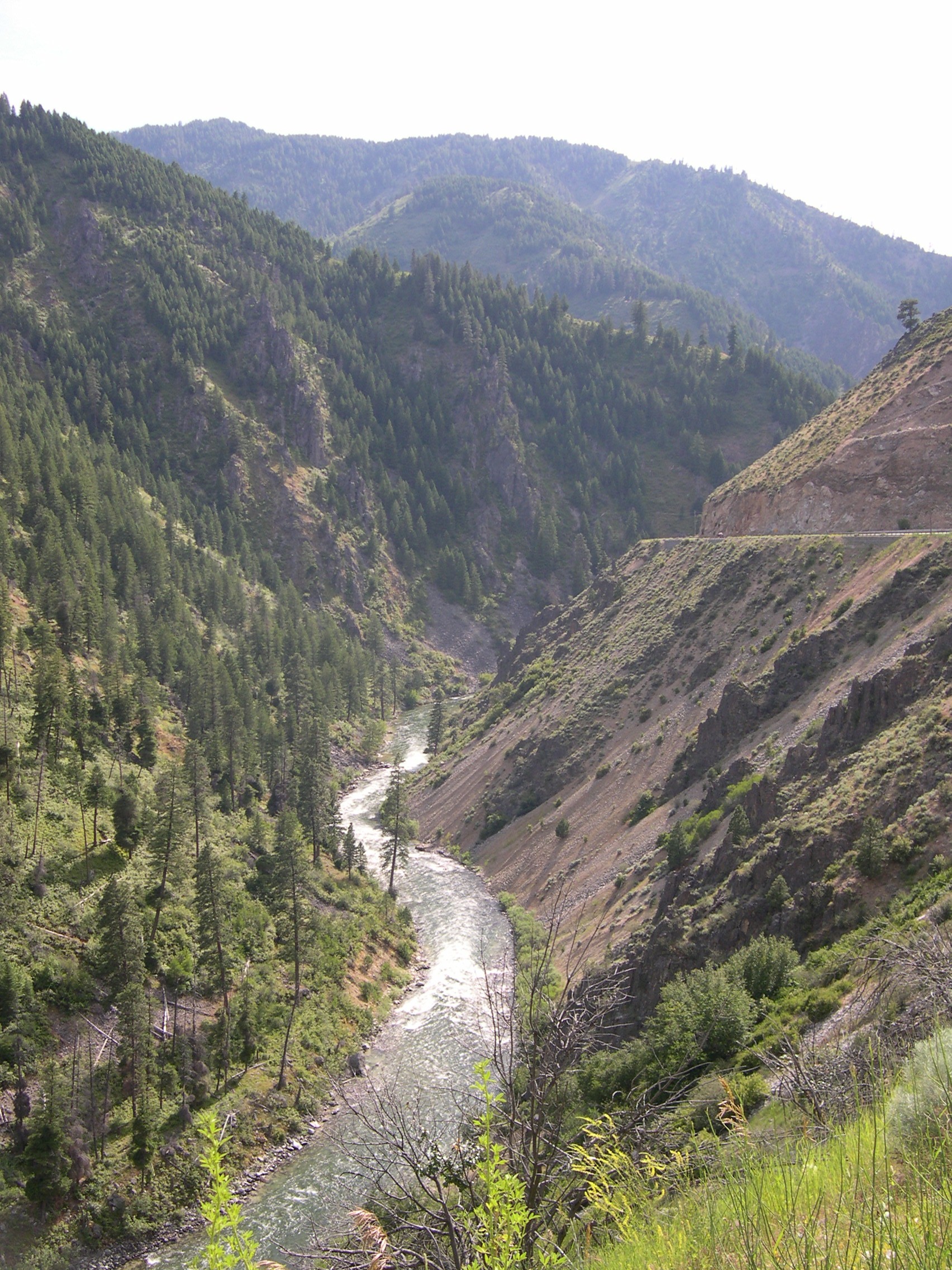
South Fork Payette River
Lake Lowell
Payette River
Lake Owyhee
Explore Oregon waters
Top paddling waters
Popular Cities
Loading popular cities...
Explore near Malheur River
Access points
- Malheur R (sperry) Bridge
- Malheur R (diversion) Bridge
- Malheur R (vale) Bridge
- Malheur R (gwynn) Bridge
- Malheur R (horseshoe B.) Bridge
- Malheur River (red Bridg Bridge
- Mid Fork Malheur River Bridge
- Malheur River Bridge
- Malheur River Bridge
- Malheur River Bridge
- Malheur River (butte) Bridge
- Malheur River Bridge
- All 80 spots
Nearby waters
More in Oregon

Smarter Paddling Starts in the App.
Paddleways gives you everything you need to plan smarter, paddle better, and own every trip from first launch to takeout.