Starved Rock Marina Boat Ramp
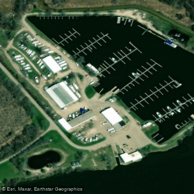
Starved Rock Marina Boat Ramp
Starved Rock Marina Boat Ramp provides launch access to the Illinois River at mile marker 233. 5, located directly across from Starved Rock State Park between Ottawa and Utica.
The full-service marina offers multiple amenities including fuel (gas and diesel), a waste pump-out station, launch ramps, and a 25-ton travel lift, along with on-site dining at Captain's Cove and supplies at Sally's Ship Store.
The Illinois River location provides access to both Lake Michigan and the Mississippi River for extended cruising opportunities.
Nearby points of interest
Find excellent paddling spots, easy access to boat ramps, and all the amenities you need for a memorable day. Your adventure starts here.
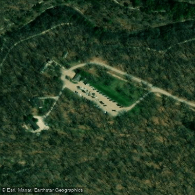
Water and weather conditions (10 day forecast)
Check the forecast at Starved Rock Marina Boat Ramp before you go paddling.
No forecast data available.
Paddling near Starved Rock Marina Boat Ramp
Fox River
Illinois River
Kankakee River

Lake Michigan
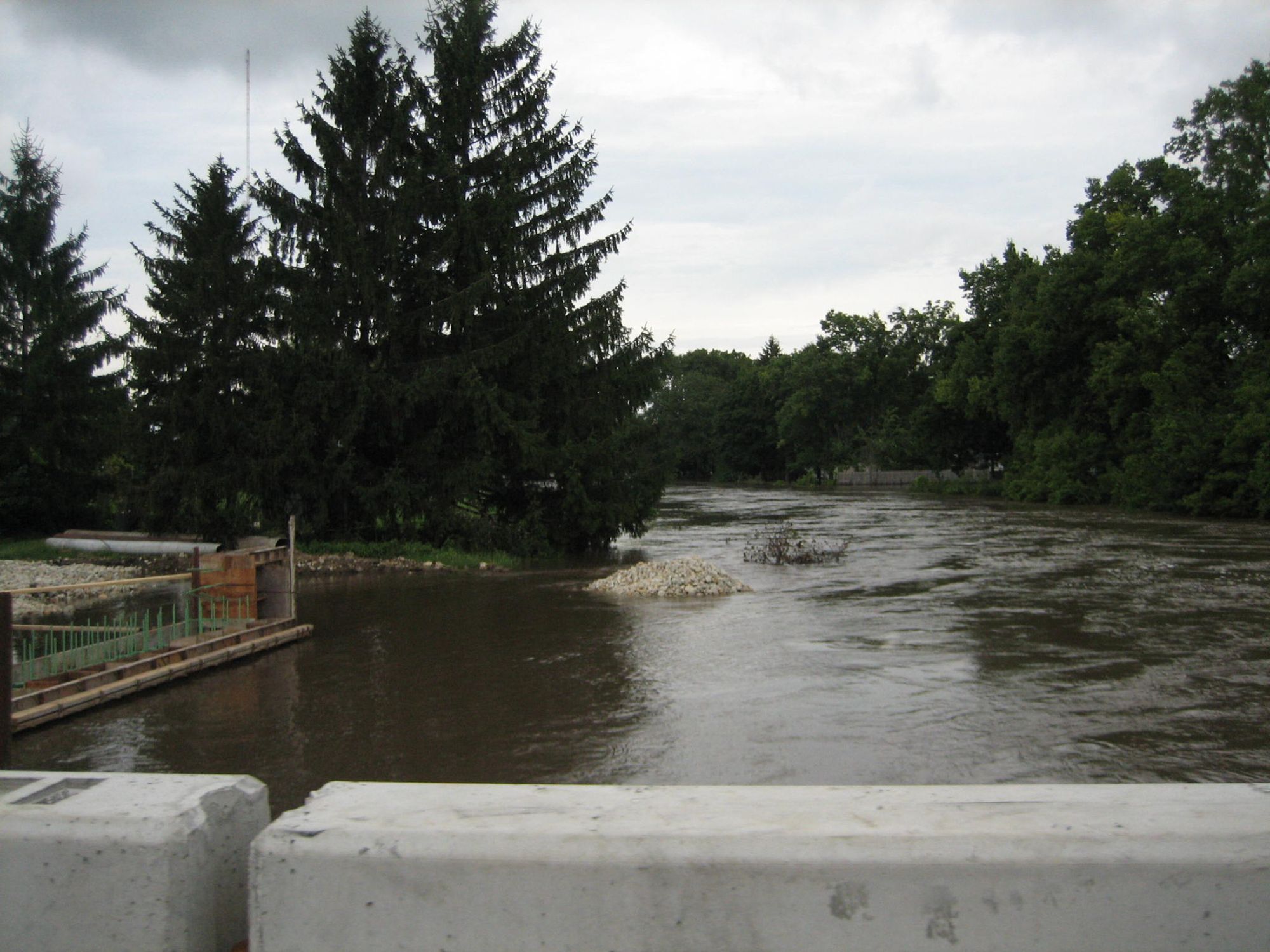
Kishwaukee River
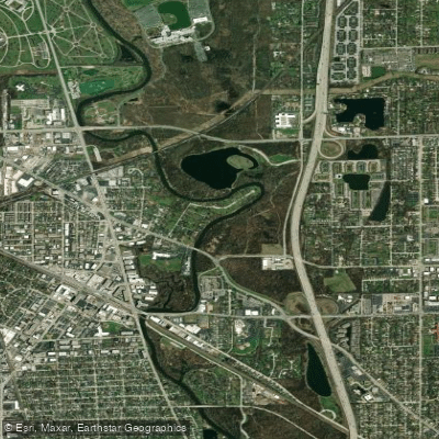
Des Plaines River
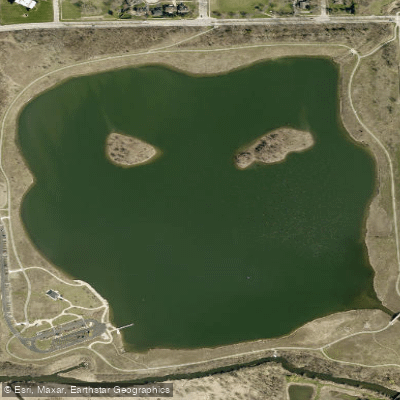
Whalon Lake
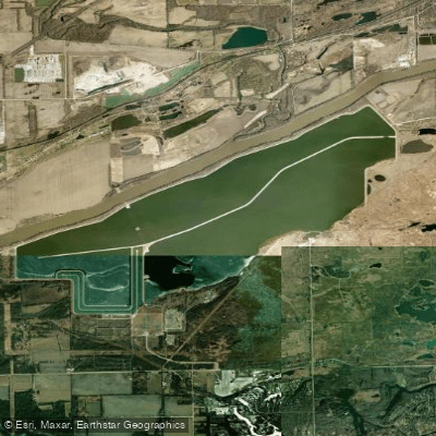
Heidecke Lake
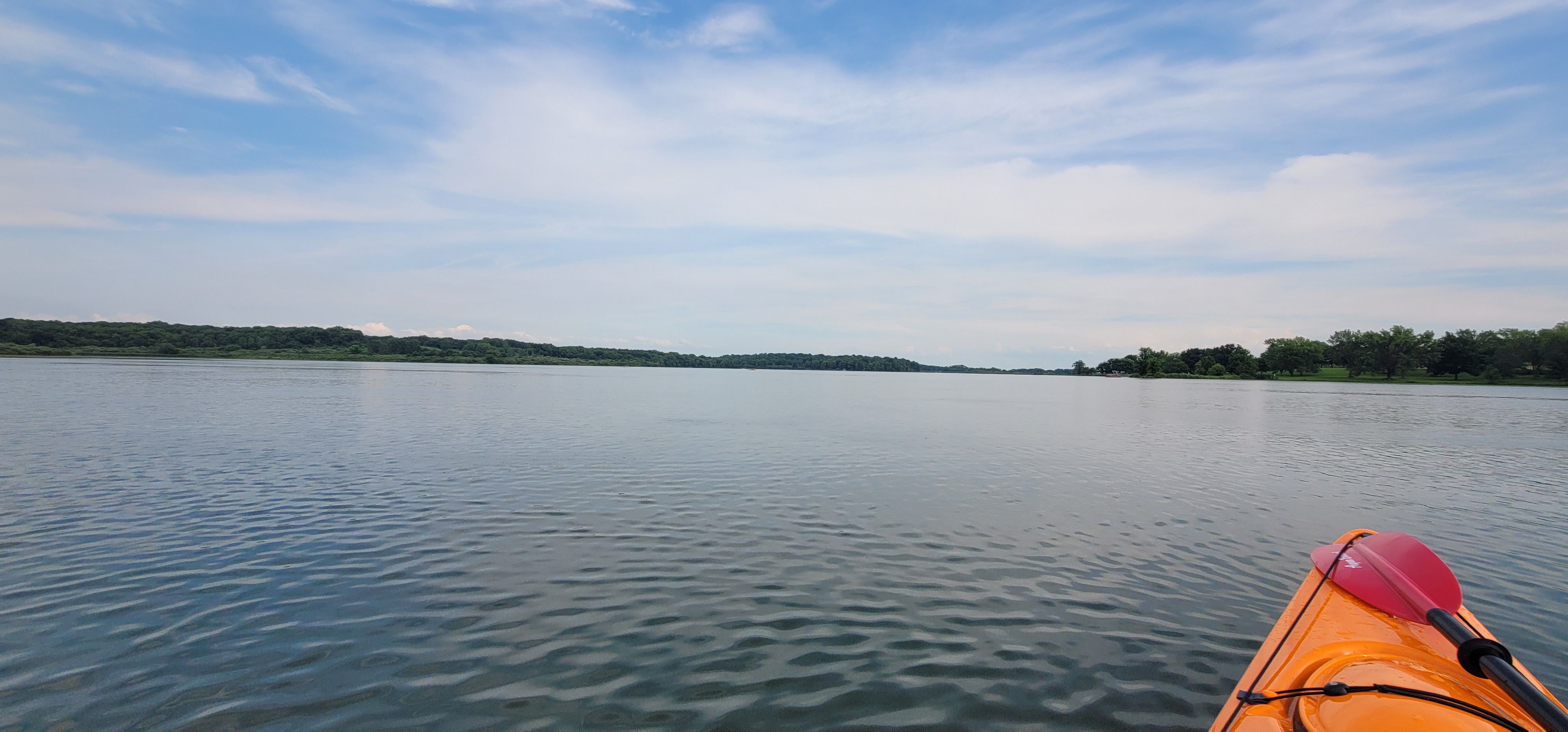
Shabbona Lake
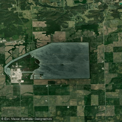
LaSalle County Nuclear Station Cooling Pond
Illinois licenses and regulations
Explore Illinois waters
Top paddling waters
No waters available right now.
Popular Cities
Loading popular cities...
Explore near Starved Rock Marina Boat Ramp
Nearby spots
- Illinois River Boat Ramp
- Oglesby Boat Ramp
- Starved Rock State Park Boat Ramp
- Buffalo Rock State Park Access
- Starved Rock Lock Access
- Starved Rock State Park Access
- Vermillion River Access
- Buffalo Rock State Park Campground
- Kayak Starved Rock Campground
- Pleasant Creek Campground
- Starved Rock State Park Campground
- Buffalo Rock State Park Parking
- All 15 nearby spots
Nearby waters
More in Illinois

Smarter Paddling Starts in the App.
Paddleways gives you everything you need to plan smarter, paddle better, and own every trip from first launch to takeout.