Kishwaukee River
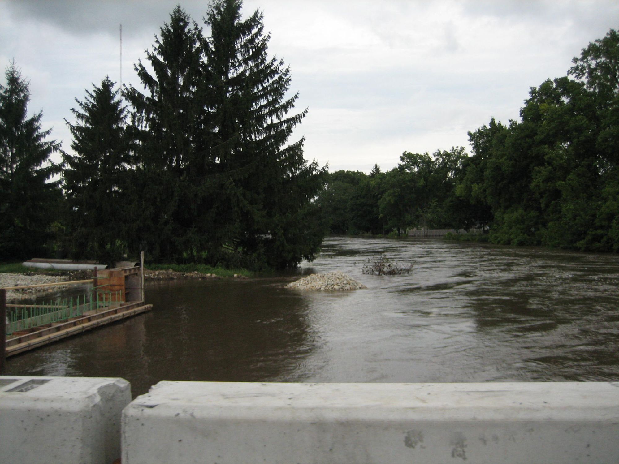
Kishwaukee River
- Boat Ramps
- 11
- Access Points
- 19
- Campsites
- 3
The Kishwaukee River, affectionately known as The Kish by locals, is a scenic 63-mile waterway in northern Illinois. Originating from two main branches - the North Branch and South Branch - the river flows westward through picturesque farmland and forest preserves before joining the Rock River south of Rockford. The Kishwaukee offers excellent paddling opportunities for all skill levels, with most sections rated as Class I flatwater. Popular trips range from short 4-5 mile excursions to longer 8-10 mile journeys. The stretch from Belvidere to New Milford is particularly favored, featuring continuous wooded banks that provide a sense of solitude and abundant wildlife viewing.
While generally gentle, the river's difficulty can vary based on water levels and seasonal conditions. Spring typically offers the best paddling, with higher water levels, though summer and early fall can be enjoyable when flow is sufficient. Winter paddling is not recommended due to cold temperatures and potential ice. The river corridor supports diverse ecosystems, home to numerous bird species, deer, and occasional river otters. Paddlers often encounter great blue herons, kingfishers, and bald eagles. The waterway is lined with silver maples, cottonwoods, and sycamores, creating a lush green canopy in warmer months.
Key landmarks include the Belvidere Dam (requiring a portage), Espenscheid Memorial Forest Preserve, and Kishwaukee River Forest Preserve. These areas offer excellent access points, picnic facilities, and hiking trails. The river passes through or near the towns of Belvidere, Cherry Valley, and New Milford, providing convenient put-in and take-out locations.
Historically, the Kishwaukee was vital to Native American tribes and early European settlers. Today, it's recognized as one of Illinois' cleanest rivers, designated as a Class A stream by the Illinois Department of Natural Resources. Safety considerations include checking water levels before trips, being aware of deadfall in some sections, and respecting private property along the banks. Life jackets are required by law.
For those seeking a multi-day adventure, it's possible to paddle the entire 32-mile stretch from Belvidere to Byron, where the Kishwaukee meets the Rock River. This trip typically requires camping and careful planning. With its pristine waters, diverse wildlife, and easy accessibility, the Kishwaukee River offers a quintessential Midwest paddling experience, perfect for both novice paddlers and experienced enthusiasts seeking a peaceful day on the water.
Water access, boat ramps & amenities
Learn how to get on Kishwaukee River. Uncover great paddling access points, boat ramps, and all the facilities you need for an unforgettable day on the water. Some locations shown may border or include private property. Always check property boundaries and applicable regulations before visiting. PaddleWays's Public & Private Land layer can help you plan your access with confidence.
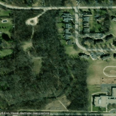
Butternut Preserve Access
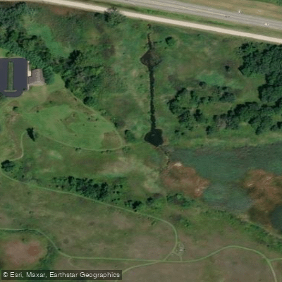
Kishwaukee Headwaters Conservation Area Access
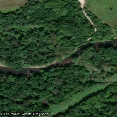
Distillery Road Conservation Area Access
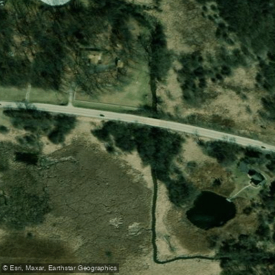
Route 176 Access
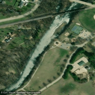
Baumann Park Access
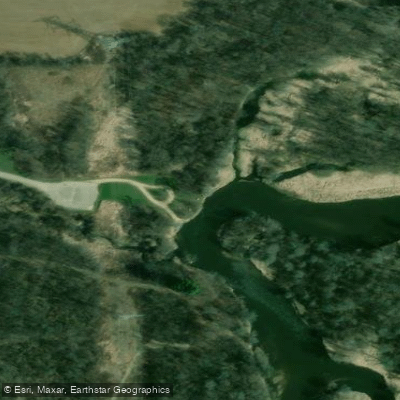
Espenscheid Memorial Forest Preserve Access
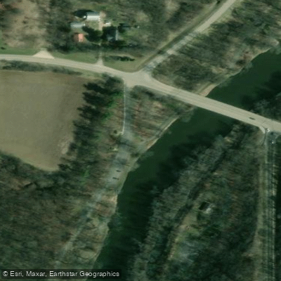
Kishwaukee River Forest Preserve Access
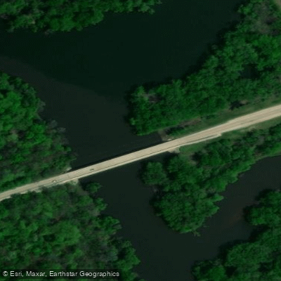
Rock River Access
Paddle smarter with real-time insights
Whether you're en route and conditions shift or you're looking for the best spot based on current flows, we enable you to make informed decisions on the fly.








Find Places to Paddle

Over 400,000 Places to Paddle
Every user gets free access to launch points, boat ramps, and public property parcels.


Water and weather conditions (10 day forecast)
See the best times to paddle Kishwaukee River and check the forecast before you go.
KISHWAUKEE RIVER AT BELVIDERE, IL
All Flow Stations
Paddling near Kishwaukee River

Rock River
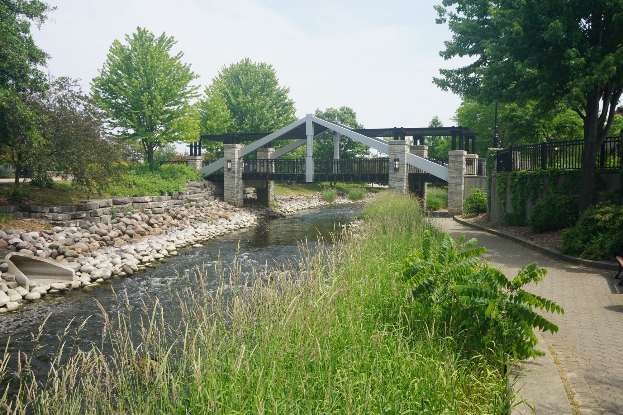
Fox River
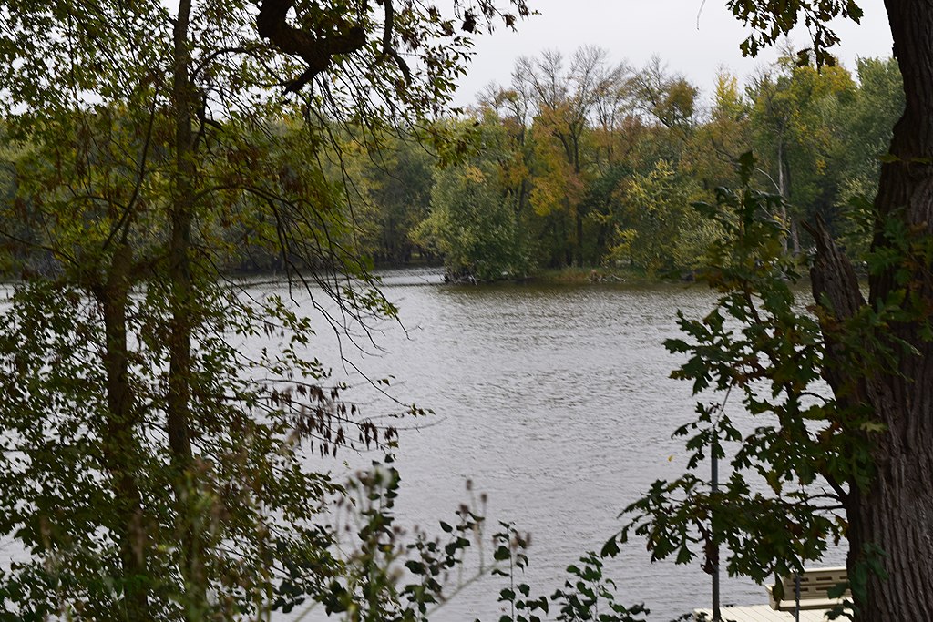
Yahara River
Bark River
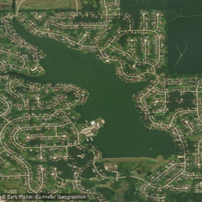
Candlewick Lake
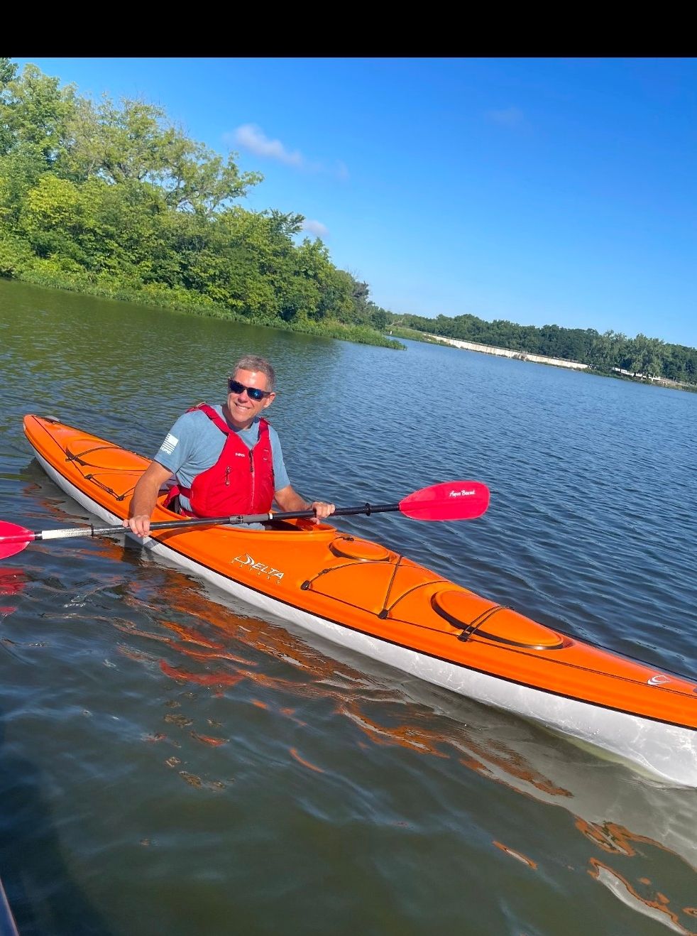
Pierce Lake
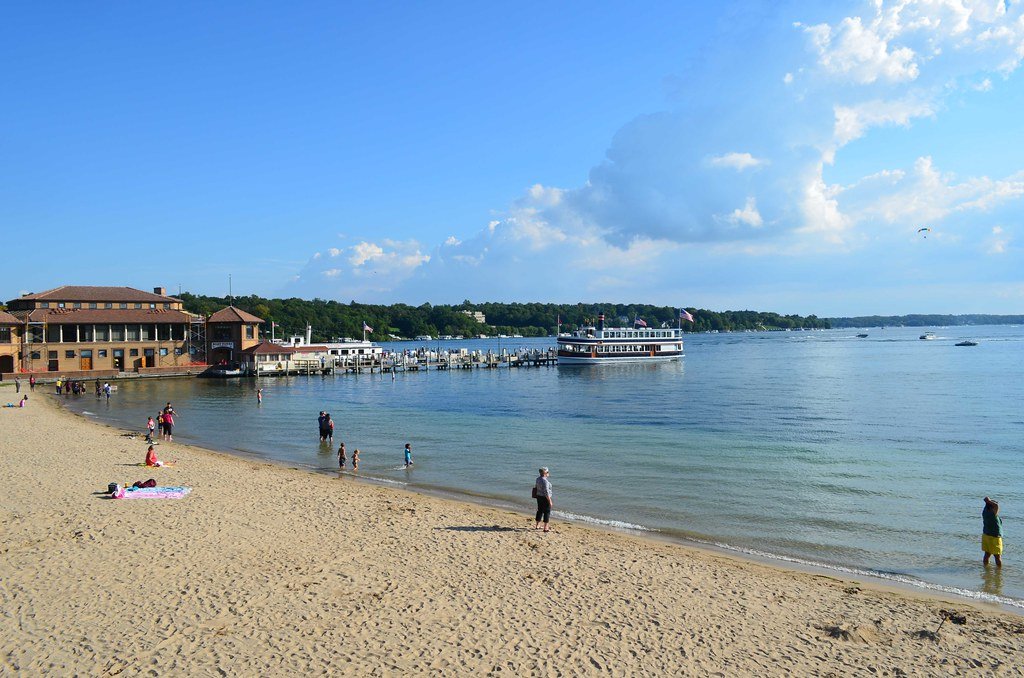
Lake Geneva
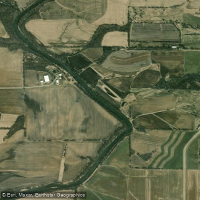
Pecatonica River
Delavan Lake
Explore Illinois waters
Top paddling waters
Popular Cities
Loading popular cities...
Explore near Kishwaukee River
Access points
- Hickory Bill's Island Boat Ramp
- Woodbine Boat Ramp
- Distillery Road Conservation Area Boat Ramp
- Kishwaukee River Forest Preserve Boat Ramp
- Belvidere Park Boat Ramp
- Burgess Street Public Boat Ramp
- Baumann Park Boat Ramp
- Atwood Landing Boat Ramp
- Belvidere Park Boat Ramp
- Espenscheid Memorial Forest Preserve Boat Ramp
- Horse Shoe Bend Boat Ramp
- Butternut Preserve Access
- All 98 spots
Nearby waters
More in Illinois

Smarter Paddling Starts in the App.
Paddleways gives you everything you need to plan smarter, paddle better, and own every trip from first launch to takeout.