Curated by PaddleWays
RouteFlatwater
- Distance
- 42.7 mi
- Paddle time
- Multi-day
- Best for
- Beginners
- Put-in → take-out
- Farina Access → Carlyle LAke SFWA Wood Duck Access Ramp
The East Fork Kaskaskia River is an important tributary of the Kaskaskia River system in south-central Illinois. Originating near the town of Farina in Fayette County, it flows southwest for approximately 50 miles before joining the main stem of the Kaskaskia River near Sandoval in Marion County. The East Fork contributes significantly to the larger Kaskaskia watershed, which is the largest river system contained entirely within Illinois.
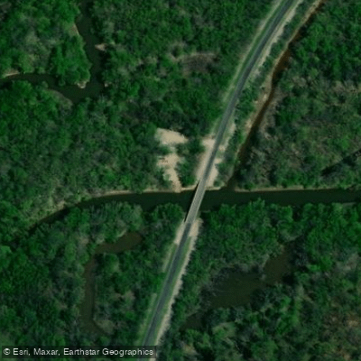
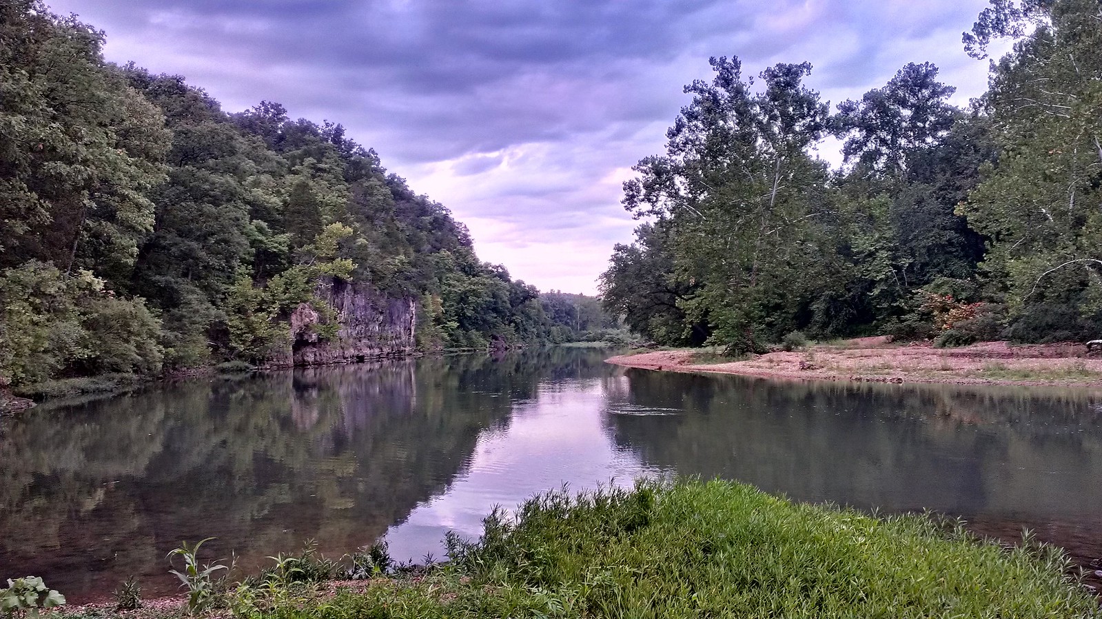
This waterway offers paddlers a gentle, flatwater experience suitable for beginners and casual floaters. The river meanders through rural agricultural landscapes, providing scenic views of farmland interspersed with riparian forests. While specific rapids are not notable, paddlers can expect occasional riffles and gentle currents, particularly after periods of rainfall.
The East Fork Kaskaskia is best paddled in late spring or early summer when water levels are typically higher. During drier periods, especially in late summer and fall, some sections may become too shallow for comfortable paddling. Paddlers should check water levels and flow rates before planning their trip.
Wildlife enthusiasts may spot various bird species, including herons and kingfishers, along with small mammals and the occasional deer near the shoreline. The river corridor provides important habitat for numerous aquatic species and serves as a migration route for fish.
Access points for the East Fork are limited, with put-in locations near Farina and take-out options closer to the confluence with the main Kaskaskia. The small town of Sandoval serves as a convenient reference point for paddlers planning trips on the lower sections of the East Fork.
Historically, the East Fork Kaskaskia River played a role in the early settlement and agricultural development of the region. Today, it continues to be an important water resource for local communities and agriculture.
Paddlers should be aware of potential logjams and strainers, especially after high water events. As with all river trips, wearing a personal flotation device is essential. The Illinois Department of Natural Resources monitors the river, and paddlers should check for any specific regulations or advisories before their trip.
While multi-day trips are possible on the larger Kaskaskia River system, the East Fork itself is more suited to day trips due to its length and limited camping options along the banks. For those interested in exploring this waterway, the developing Kaskaskia River Trail project may lead to improved access and amenities in the future, potentially including upgraded boat put-ins and rest areas along the river system.
Curated routes
Hand-picked by the PaddleWays team, with put-ins, take-outs, paddle times and the hazards along the way.
RouteFlatwater
Hazards
No hazards are marked on East Fork Kaskaskia River yet. That is not the same as none being there: if you find one, report it for the next paddler.
From the community
Nobody has shared a trip on East Fork Kaskaskia River yet. Paddle it, then tell the next paddler how it went.
See exactly where the public can get on and off the river. Launch points and boat ramps are paired with PaddleWays' public land data so you know where you can legally land.
Public shoreline
0%of the river's shoreline is public
Most of the riverbank is private. Launch, land and camp only at public access points.
Flows, weather and a route-by-route verdict, so you know which stretch of the East Fork Kaskaskia River is worth paddling today.
Live flows, marked hazards and fresh trip reports from paddlers who were just on the water, all in one place.





Every user gets free access to launch points, boat ramps, and public property parcels.

Loading popular cities...
PaddleWays gives you everything you need to plan smarter, paddle better, and own every trip from first launch to takeout.