Lower Stump Lake
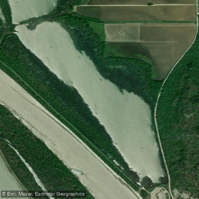
Lower Stump Lake
- Boat Ramps
- 0
- Access Points
- 0
- Campsites
- 3
Lower Stump Lake is part of the Mississippi River State Fish and Wildlife Area in Illinois, situated just north of Pere Marquette State Park. The lake is part of a larger complex including Flat, Long, Fowler and Upper Stump Lakes, accessible via the Stump Lake Fish and Wildlife Area boat ramp.
The lake complex features typical bottomland habitat characterized by sloughs, backwater lakes, and timbered ponds. The surrounding forest is primarily composed of willow, maple, and cottonwood trees. This environment provides excellent opportunities for wildlife viewing, particularly waterfowl and various bird species.
The Stump Lake Fish and Wildlife Area offers a public boat ramp with basic launch facilities for paddlers.
Important considerations for paddlers: - Certain areas may be restricted during waterfowl hunting seasons - Areas with restrictions are clearly posted each year - The lake is influenced by Mississippi River water levels - The water is typically characterized by slow velocities and soft substrates
The lake system supports diverse aquatic life, including bluegill, crappie, and bullhead fish. Water quality advisories exist for certain fish species in the connected waterways, indicating some historical water quality concerns in the broader river system.
For safety and regulation compliance, paddlers should: - Check hunting season dates and restricted areas before planning trips - Be aware that waterfowl management areas may be closed to access as posted - Contact the Mississippi River Area office (618-376-3303) for current access information and restrictions
The lake's location within a larger wildlife management area means paddlers should share the water with anglers and hunters during designated seasons.
Water access, boat ramps & amenities
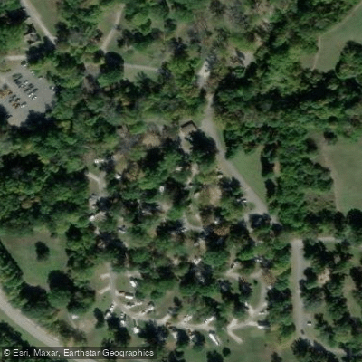
Learn how to get on Lower Stump Lake. Uncover great paddling access points, boat ramps, and all the facilities you need for an unforgettable day on the water. Some locations shown may border or include private property. Always check property boundaries and applicable regulations before visiting. PaddleWays's Public & Private Land layer can help you plan your access with confidence.
Paddle smarter with real-time insights
Whether you're en route and conditions shift or you're looking for the best spot based on current flows, we enable you to make informed decisions on the fly.








Find Places to Paddle

Over 400,000 Places to Paddle
Every user gets free access to launch points, boat ramps, and public property parcels.


Water and weather conditions (10 day forecast)
See the best times to paddle Lower Stump Lake and check the forecast before you go.
No forecast data available.
Paddling near Lower Stump Lake

Missouri River

Mississippi River
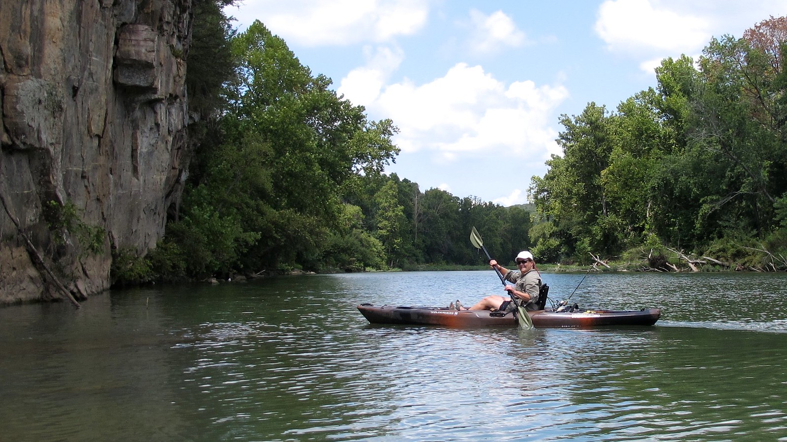
Illinois River
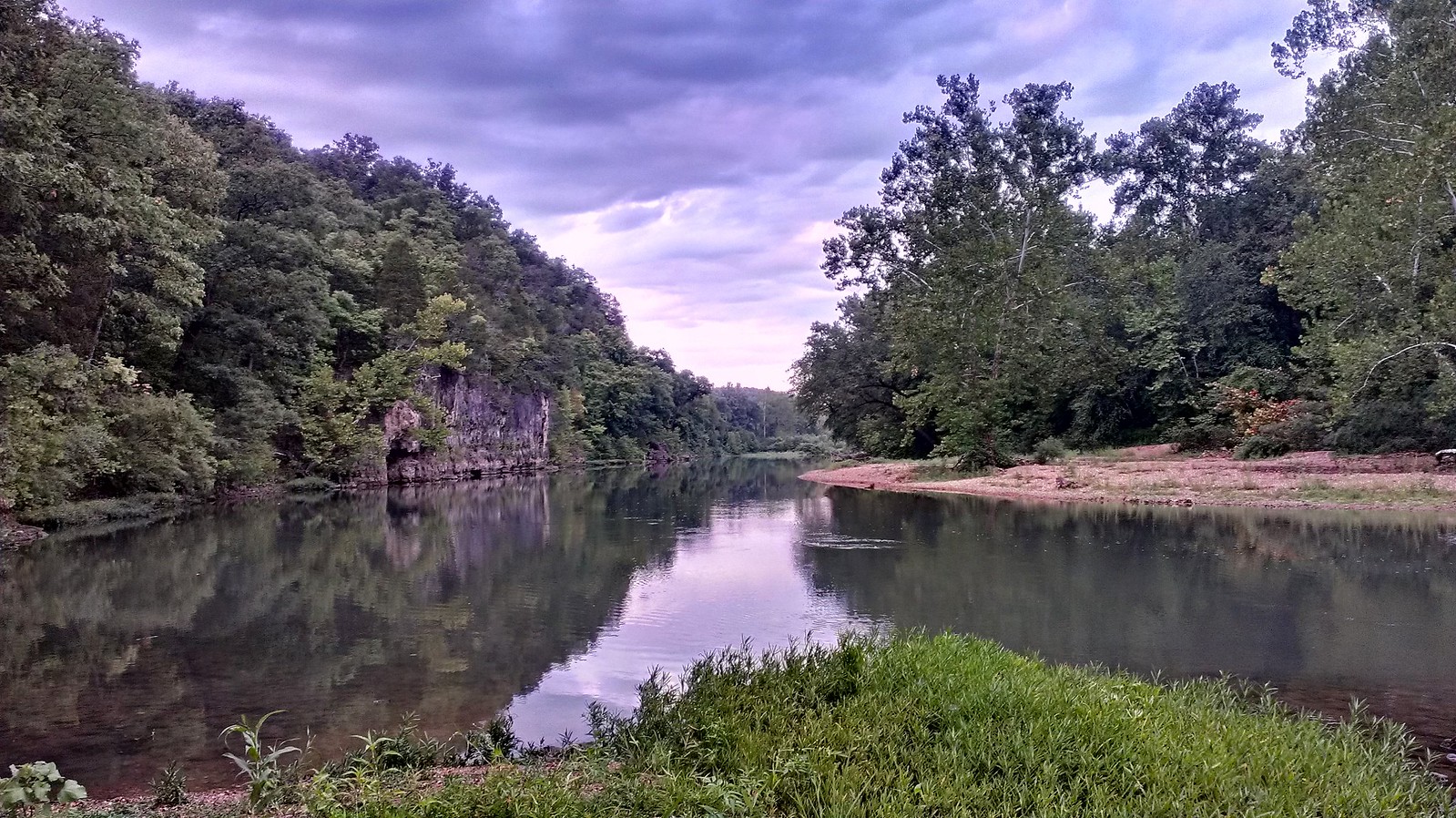
Meramec River
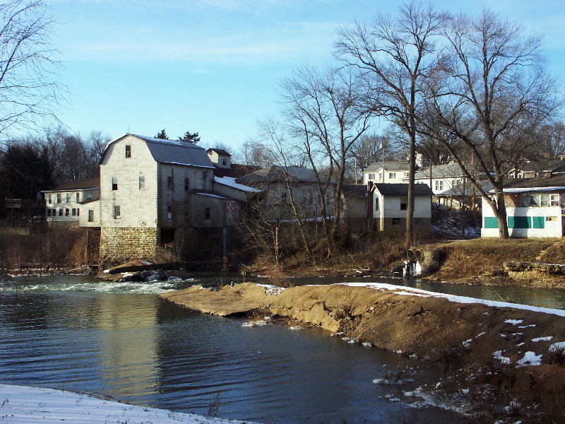
Big River
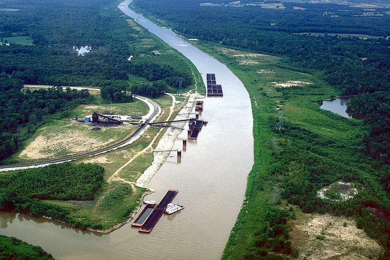
Kaskaskia River
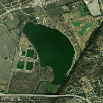
Creve Coeur Lake
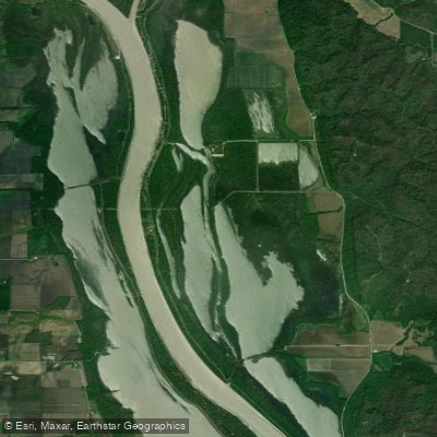
Upper Stump Lake
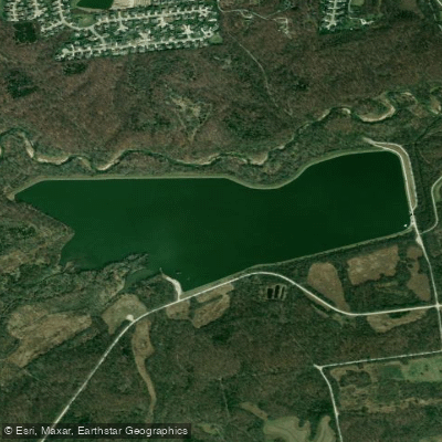
Kraut Run Lake
Explore Illinois waters
Top paddling waters
Popular Cities
Loading popular cities...
Explore near Lower Stump Lake
Access points
Nearby waters
More in Illinois

Smarter Paddling Starts in the App.
Paddleways gives you everything you need to plan smarter, paddle better, and own every trip from first launch to takeout.