Paddling in Kansas
- Lakes
- 269
- Rivers
- 2,471
- Access
- 15
- Boat Ramps
- 242
- Shops
- 3
Kansas is a flatwater touring state, defined as much by its law as its landscape. Only three rivers — the Kaw, the Arkansas, and the Missouri — are legally navigable and open to the public; everything else is private water under Meek v.
Hays, and crossing onto a posted bank is a misdemeanor.
That single fact has concentrated almost all of the state's paddling energy onto those three rivers and onto its reservoirs and state fishing lakes, and it explains why the organizing infrastructure around the navigable water is as developed as it is.
The Kansas River Water Trail — the Kaw — runs 173 miles from Junction City to Kaw Point in Kansas City, and it's the spine of paddling in the state.
Shallow, sandy, braided, dropping less than two feet a mile, with nineteen public ramps spaced about every ten miles and free sandbar camping between the high-water marks.
Friends of the Kaw, headquartered in Lawrence, has stewarded the trail since 1991, runs group floats April through mid-October, and put together the KAW 173 end-to-end challenge.
Their flow guidance is the standard: 5,000 cfs and below for newer paddlers, 8,000 cfs as the practical ceiling — above that the sandbars vanish and there's nowhere to rest.
Plan around the dam and coffer dam near the Topeka water intakes, the low railroad bridge, and Bowersock in Lawrence. And stay inside the high-water marks through the Fort Riley reservation on the upper river.
The Arkansas covers 192 miles from Great Bend down through Hutchinson and Wichita to the Oklahoma line, designated a National Water Trail in 2016, with kiosks at 22 access points finished out by KAWS in late 2024.
The river meanders through shortgrass prairie and runs drought-prone — the western reaches rarely hold enough water — but the lower stretch is paddleable year-round in a kayak as flows allow.
Arkanoe in Hutchinson runs shuttles on a five-mile section, and the Arkansas River Coalition out of Wichita publishes float reports and runs twilight paddles through the warm season.
Wichita has its own rules: stay 50 feet off the Falls at the confluence of the Big and Little Arkansas, and don't go above the Amidon Bridge. Kaw Point, where the Kaw meets the Missouri, is the cultural center.
It's where KC Kayak and Canoe runs guided trips on the big, fast, deceptively turbulent Missouri — not beginner water — and it's the starting line for the MR340, billed as the world's longest nonstop paddling race, 340 miles to St.
Charles every late July under an 85-hour clock. Whitewater is essentially absent. A Class II playspot below the I-435 bridge near Lawrence, and short rain-dependent Class III drops at Elk Falls and Butcher Falls in the southeast — that's the honest list.
Paddlers looking for gradient drive to the Ozarks.
What's left is what Kansas actually does well: long prairie days, eagles working the Kaw corridor, the steady headwind that's the reason locals reach for a low-profile touring kayak over a canoe or a board, and the strange quiet of floating twenty miles of sandbars without seeing another boat.
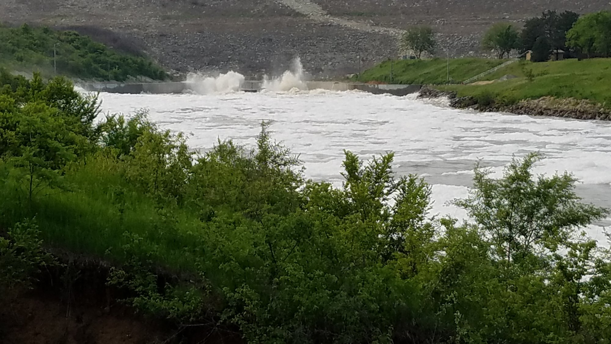
Paddle smarter with real-time insights
Whether you're en route and conditions shift or you're looking for the best spot based on current flows, we enable you to make informed decisions on the fly.







Kansas licenses and regulations
Explore Kansas waters
Top paddling waters
Popular Cities
Loading popular cities...

Smarter Paddling Starts in the App.
Paddleways gives you everything you need to plan smarter, paddle better, and own every trip from first launch to takeout.