Cedar Bluff Reservoir
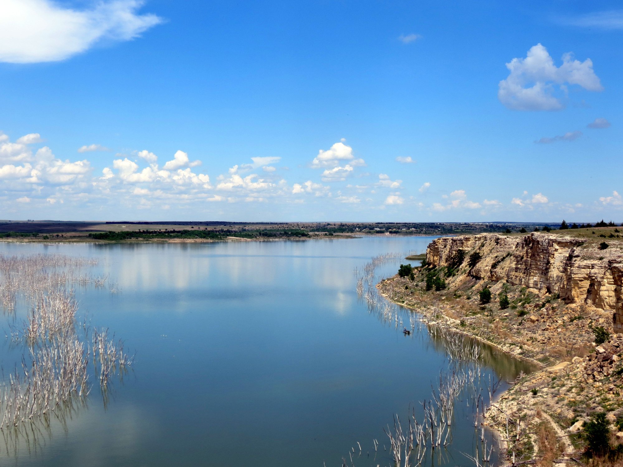
Cedar Bluff Reservoir
- Boat Ramps
- 3
- Access Points
- 3
- Campsites
- 0
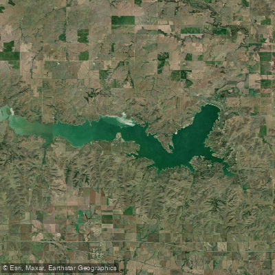
Cedar Bluff Reservoir in Kansas offers paddlers a unique experience on its 3,280 water surface acres. The lake is characterized by 150-foot-high limestone bluffs, providing stunning views for adventurers. The reservoir has approximately 50 miles of shoreline to explore.
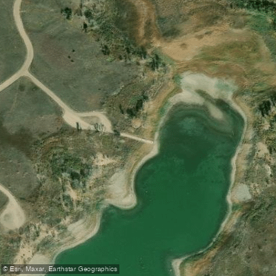
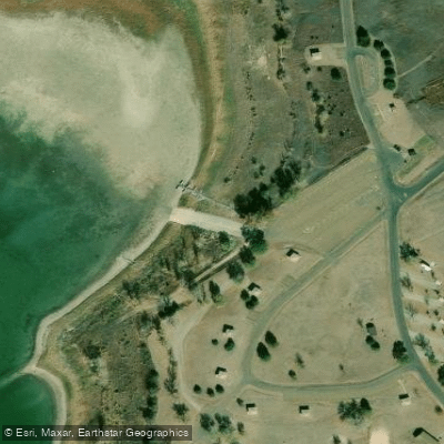
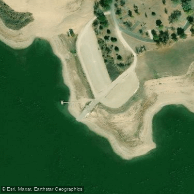
Access is available via two boat ramp facilities in the Bluffton Area on the north shore and two more in the Page Creek Area on the south shore. The park is located 13 miles south of Interstate 70 on Highway 147.
Paddlers should be aware that Cedar Bluff has an established zebra mussel population, making it an ANS (Aquatic Nuisance Species) designated water. Regulations are in effect to prevent the spread of these invasive mussels. Upon leaving the reservoir, it is essential to clean mud and vegetation off boats, drain all water-holding compartments, and allow equipment to dry completely before use in other waters.
The reservoir offers opportunities for fishing, with species including walleye, crappie, white bass, channel catfish, and wipers. Bald eagles may be spotted nesting along the shoreline.
Facilities for paddlers include campgrounds with utility hookups, shower houses, and rental cabins. The Bluffton Area provides nearly 350 acres of developed recreation space, while the Page Creek Area offers about 500 acres of more primitive camping options with large shade trees and sandy shorelines.
Cedar Bluff State Park encompasses 1,100 acres along the reservoir's shore. In addition to water activities, the park features an archery range, BMX track, and hiking trails. The area has historical significance, with the Butterfield Overland Dispatch historic trail crossing nearby and some visible wagon ruts.
Paddlers should note that vehicle and camping permits are required year-round and can be purchased online, at the park office, or at self-pay stations.
Water access, boat ramps & amenities
Learn how to get on Cedar Bluff Reservoir. Uncover great paddling access points, boat ramps, and all the facilities you need for an unforgettable day on the water. Some locations shown may border or include private property. Always check property boundaries and applicable regulations before visiting. PaddleWays's Public & Private Land layer can help you plan your access with confidence.
Paddle smarter with real-time insights
Whether you're en route and conditions shift or you're looking for the best spot based on current flows, we enable you to make informed decisions on the fly.








Find Places to Paddle

Over 400,000 Places to Paddle
Every user gets free access to launch points, boat ramps, and public property parcels.


Water and weather conditions (10 day forecast)
See the best times to paddle Cedar Bluff Reservoir and check the forecast before you go.
No forecast data available.

Explore Kansas waters
Top paddling waters
Popular Cities
Loading popular cities...
Explore near Cedar Bluff Reservoir
Access points
More in Kansas

Smarter Paddling Starts in the App.
Paddleways gives you everything you need to plan smarter, paddle better, and own every trip from first launch to takeout.