Cheney Reservoir
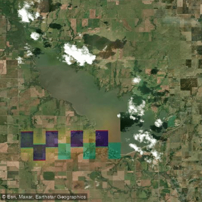
Cheney Reservoir
- Boat Ramps
- 9
- Access Points
- 9
- Campsites
- 0
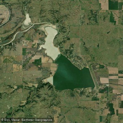
Cheney Reservoir, located 16 miles west of Wichita, Kansas, offers a 9,600-acre lake with 67 miles of shoreline for paddling adventures. Known for its consistent winds, Cheney is considered the windiest lake in the lower 48 states with an average wind speed of 13.9 mph. This makes it a top destination for sailing and windsurfing, which paddlers should be aware of when planning trips.
The lake features 22 boat-launching lanes providing convenient access. Paddlers can explore numerous inlets and take in views of the surrounding prairie landscape. Wildlife viewing opportunities include white-tailed deer, red foxes, and various bird species such as great blue herons and kingfishers.
Cheney State Park covers 1,913 acres around the lake, offering amenities like camping facilities and hiking trails. The Giefer Creek and Spring Creek nature trails provide scenic routes along the shoreline. A marina is available on the East Shore, while the Ninnescah Sailing Center on the West Shore caters to wind-powered watercraft.
Fishing is permitted, with crappie, catfish, and striped bass being predominant species. A handicapped-accessible fishing area is available at the Toadstool Loop Jetty.
Paddlers should be prepared for potentially choppy conditions due to the lake's reputation for wind. The open water can create challenging paddling environments, especially for beginners. It's advisable to check weather forecasts and wind conditions before embarking on a paddle.
A vehicle permit is required for park entry, and camping permits are necessary for overnight stays. These can be purchased online, at the park office, or at self-pay stations. Pets are allowed but must be leashed or restrained at all times and are not permitted on swimming beaches.
Water access, boat ramps & amenities
Learn how to get on Cheney Reservoir. Uncover great paddling access points, boat ramps, and all the facilities you need for an unforgettable day on the water. Some locations shown may border or include private property. Always check property boundaries and applicable regulations before visiting. PaddleWays's Public & Private Land layer can help you plan your access with confidence.
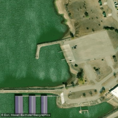
Cheney-East Boat Ramp
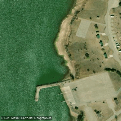
Cheney-Lakeview Boat Ramp
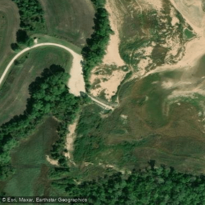
Cheney-Wenzel Cove Boat Ramp
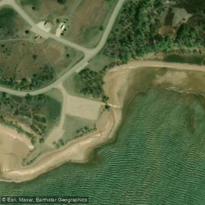
Cheney-Wichita Point Boat Ramp
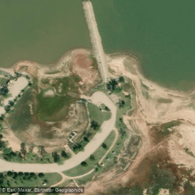
Cheney-Ninnescah Sailing Association Boat Ramp
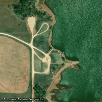
Cheney-Red Bluffs Boat Ramp
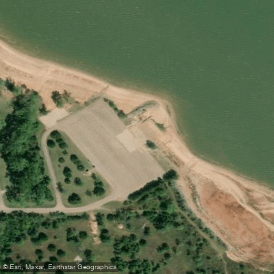
Cheney-West Boat Ramp
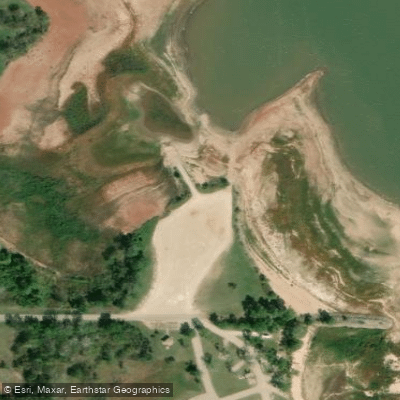
Cheney-County Line Boat Ramp
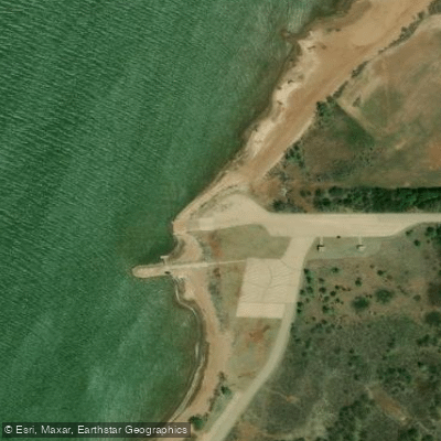
Cheney-Mr. D's Boat Ramp
Paddle smarter with real-time insights
Whether you're en route and conditions shift or you're looking for the best spot based on current flows, we enable you to make informed decisions on the fly.








Find Places to Paddle

Over 400,000 Places to Paddle
Every user gets free access to launch points, boat ramps, and public property parcels.


Water and weather conditions (10 day forecast)
See the best times to paddle Cheney Reservoir and check the forecast before you go.
CHENEY RE NR CHENEY, KS
All Flow Stations
Paddling near Cheney Reservoir

Explore Kansas waters
Top paddling waters
Popular Cities
Loading popular cities...
Explore near Cheney Reservoir
Access points
- Cheney-East Boat Ramp
- Cheney-Lakeview Boat Ramp
- Cheney-Wenzel Cove Boat Ramp
- Cheney-Wichita Point Boat Ramp
- Cheney-Ninnescah Sailing Association Boat Ramp
- Cheney-Red Bluffs Boat Ramp
- Cheney-West Boat Ramp
- Cheney-County Line Boat Ramp
- Cheney-Mr. D's Boat Ramp
- N. Fork Ninnescah River Bridge
- North Fork Ninnescah Bridge
- Rock Creek Bridge
- All 24 spots
Nearby waters
More in Kansas

Smarter Paddling Starts in the App.
Paddleways gives you everything you need to plan smarter, paddle better, and own every trip from first launch to takeout.