Bayou D'Arbonne Lake
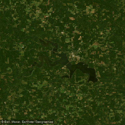
Bayou D'Arbonne Lake
- Boat Ramps
- 17
- Access Points
- 17
- Campsites
- 1
Bayou D'Arbonne Lake is a 15,250-acre reservoir in northern Louisiana, shaped like an irregular "Y" with about 100 miles of shoreline. The lake has an average depth of 8 feet and a maximum depth of 40 feet. Paddlers can access the lake via Lake D'Arbonne State Park, which offers kayak and canoe rentals.
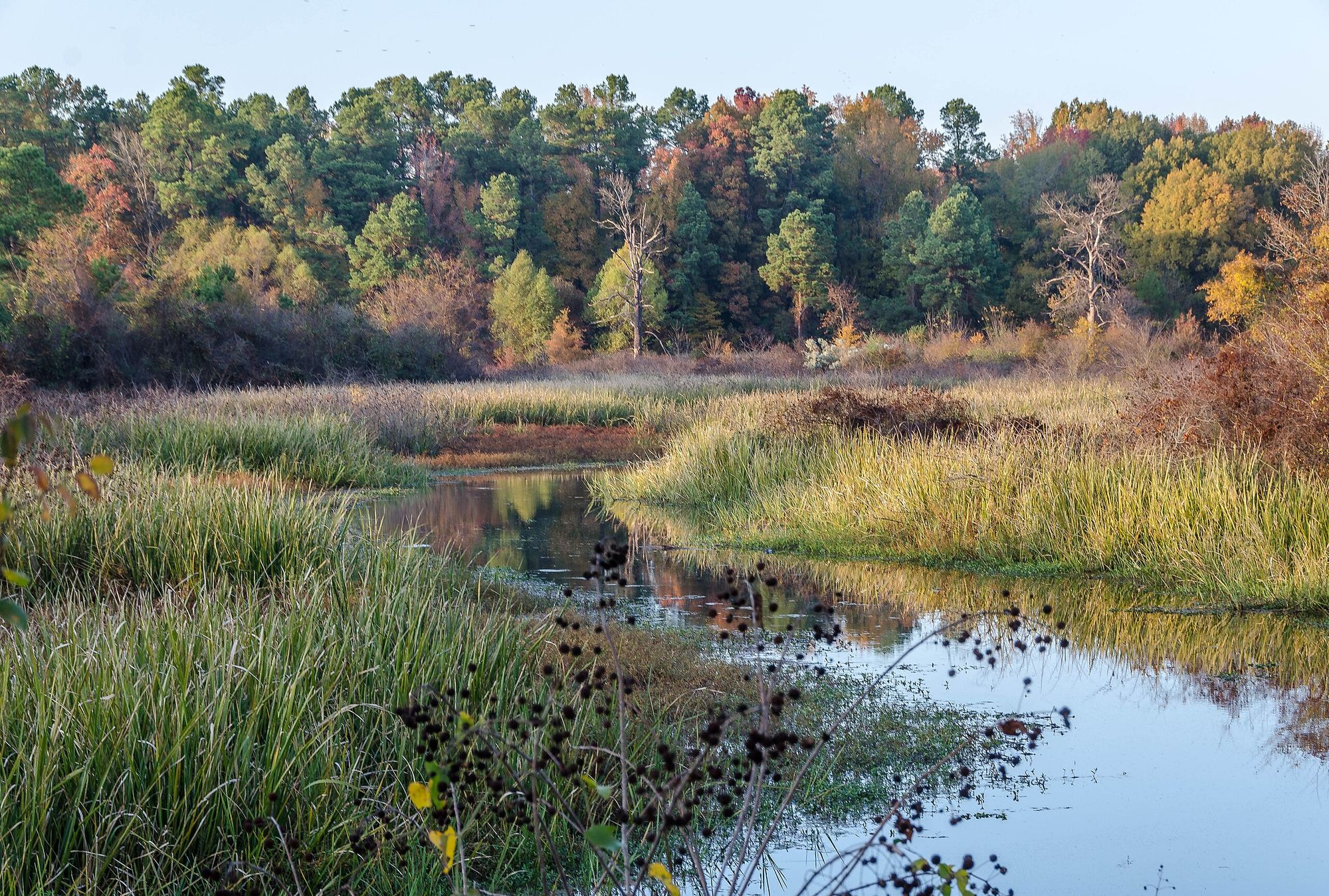
The lake is surrounded by piney forests and rolling hills, providing a scenic backdrop for paddling. Wildlife viewing opportunities include bald eagles, migratory birds, and various waterfowl. The lake's indigo-dark waters contrast beautifully with the surrounding landscape.
For a unique paddling experience, explore the Bayou D'Arbonne paddle trail. Launch at Holland's Bluff Boat Ramp in the D'Arbonne National Wildlife Refuge for a 3-mile round-trip journey through cypress-lined bayous and bottomland hardwoods. Key stops along this trail include the Blackwater Beaver Playground, Fall and Rebirth of Cypress (excellent for fishing), and View of Long Slough. The trail ends at Sandbar Picnic, an ideal spot for a break.
Summer months typically offer stable water conditions and are considered the best time for paddling, though extreme drought can lead to low water levels. Always check water conditions before embarking on a trip.
Fishing is a popular activity, with crappie, catfish, bass, and bream abundant in the lake. A Louisiana state fishing license is required. The lake is also known for its excellent crappie fishing, especially in shallow waters from February to May.
Lake D'Arbonne State Park provides additional amenities for paddlers, including a swimming beach, camping facilities, hiking trails, and a marina. For those interested in local history, Native American ceremonial mounds can be observed in the northcentral part of the park when water levels are low.
Water access, boat ramps & amenities
Learn how to get on Bayou D'Arbonne Lake. Uncover great paddling access points, boat ramps, and all the facilities you need for an unforgettable day on the water. Some locations shown may border or include private property. Always check property boundaries and applicable regulations before visiting. PaddleWays's Public & Private Land layer can help you plan your access with confidence.
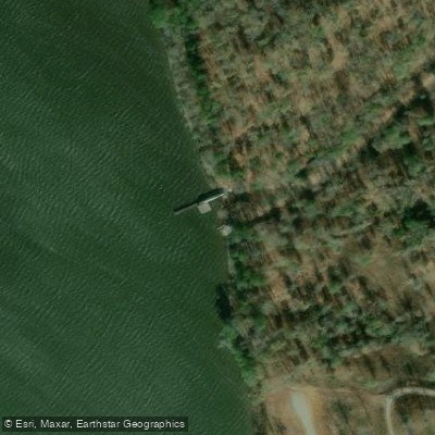
City Park Boat Ramp
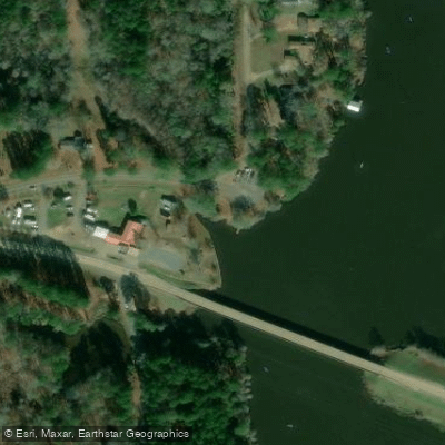
D Arbonne Village West Boat Ramp
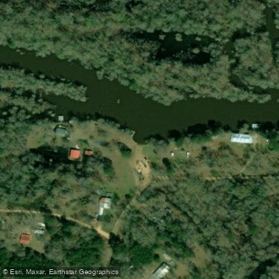
Hog Pen Landing Boat Ramp
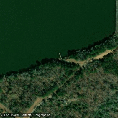
Downsville Spillway Boat Ramp
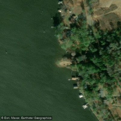
Forks Ferry Boat Ramp
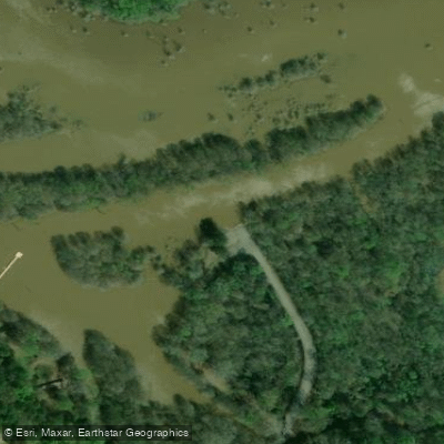
Gills Ferry Boat Ramp
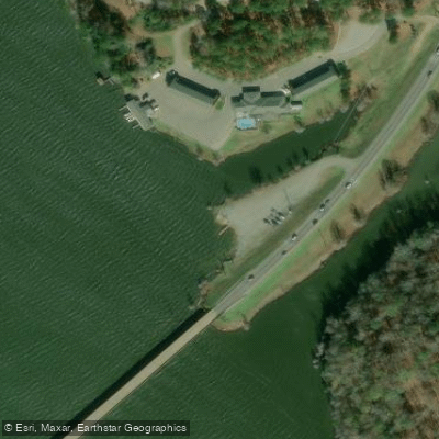
Highway 33 Boat Ramp
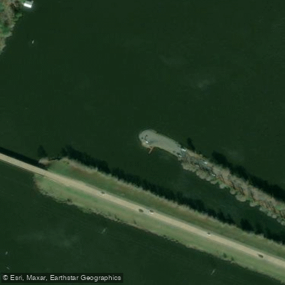
D Arbonne Village East Boat Ramp
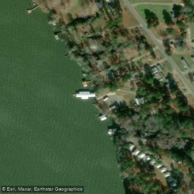
Massingales Landing Boat Ramp
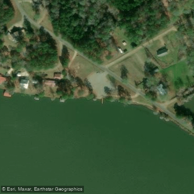
Terral Island Boat Ramp
Paddle smarter with real-time insights
Whether you're en route and conditions shift or you're looking for the best spot based on current flows, we enable you to make informed decisions on the fly.








Find Places to Paddle

Over 400,000 Places to Paddle
Every user gets free access to launch points, boat ramps, and public property parcels.


Water and weather conditions (10 day forecast)
See the best times to paddle Bayou D'Arbonne Lake and check the forecast before you go.
Bayou Darbonne Lake at Dam near Downsville
Paddling near Bayou D'Arbonne Lake
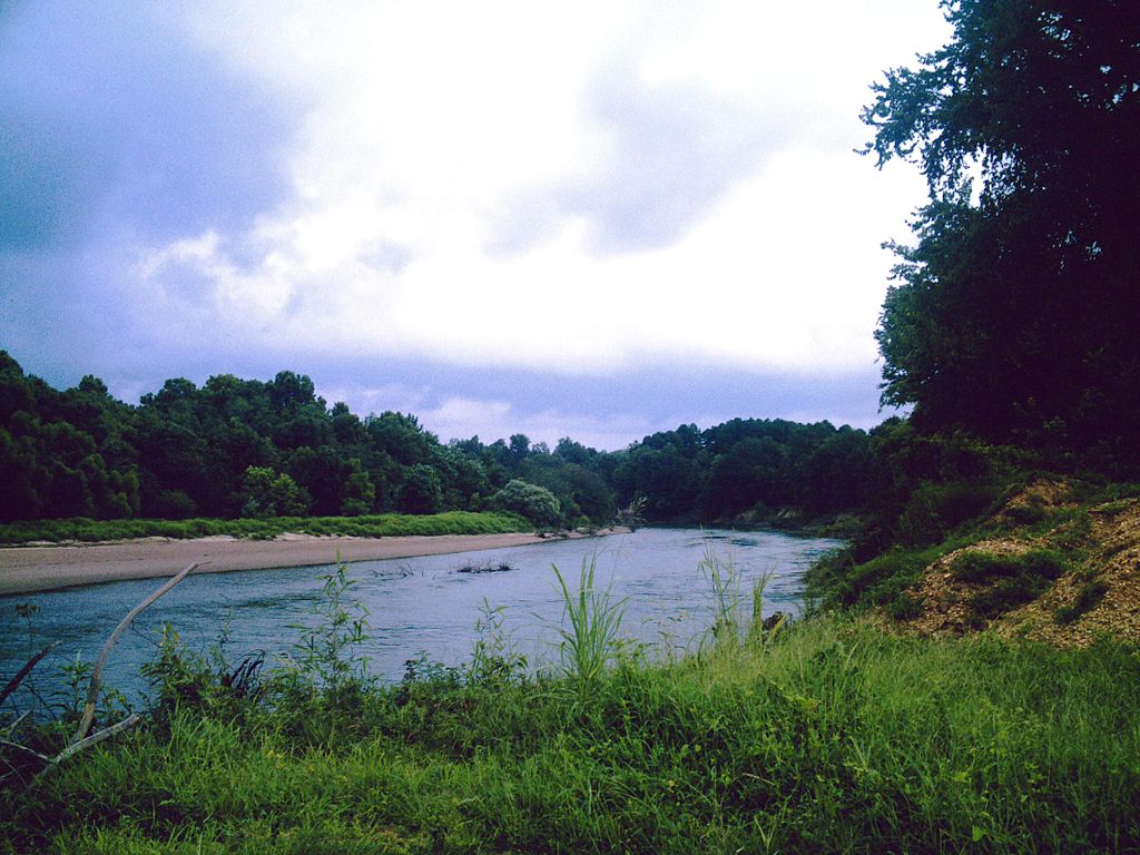
Ouachita River
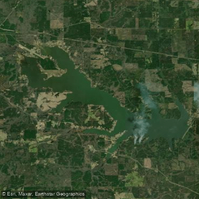
Bayou Bartholomew
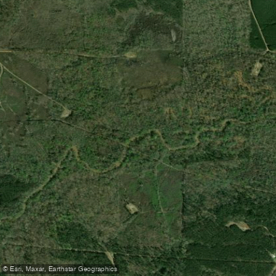
Lake Claiborne
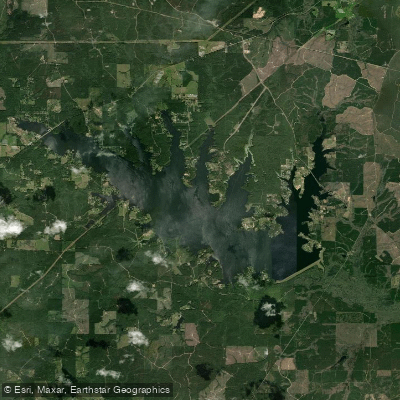
Bayou D'Arbonne
Caney Creek Reservoir
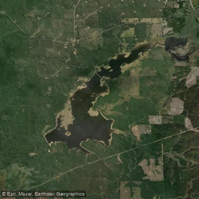
Kepler Creek Lake
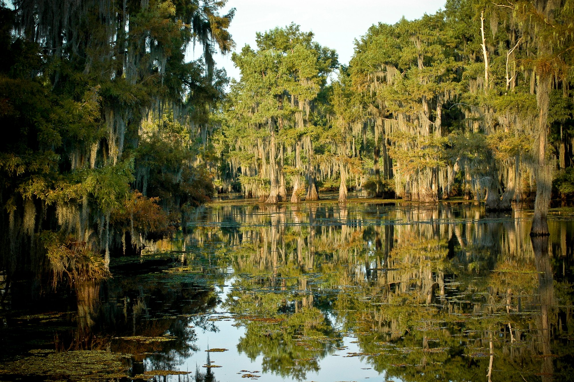
Lake Bistineau
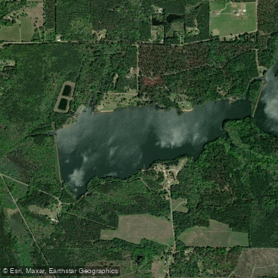
Caney Lakes
Corney Bayou
Explore Louisiana waters
Top paddling waters
Popular Cities
Loading popular cities...
Explore near Bayou D'Arbonne Lake
Access points
- City Park Boat Ramp
- D Arbonne Village West Boat Ramp
- Hog Pen Landing Boat Ramp
- Downsville Spillway Boat Ramp
- Forks Ferry Boat Ramp
- Gills Ferry Boat Ramp
- Highway 33 Boat Ramp
- D Arbonne Village East Boat Ramp
- Massingales Landing Boat Ramp
- Terral Island Boat Ramp
- Lake D Arbonne State Park Boat Ramp
- Stowe Creek Boat Ramp
- All 56 spots
Nearby waters
More in Louisiana

Smarter Paddling Starts in the App.
Paddleways gives you everything you need to plan smarter, paddle better, and own every trip from first launch to takeout.