Bayou Bartholomew
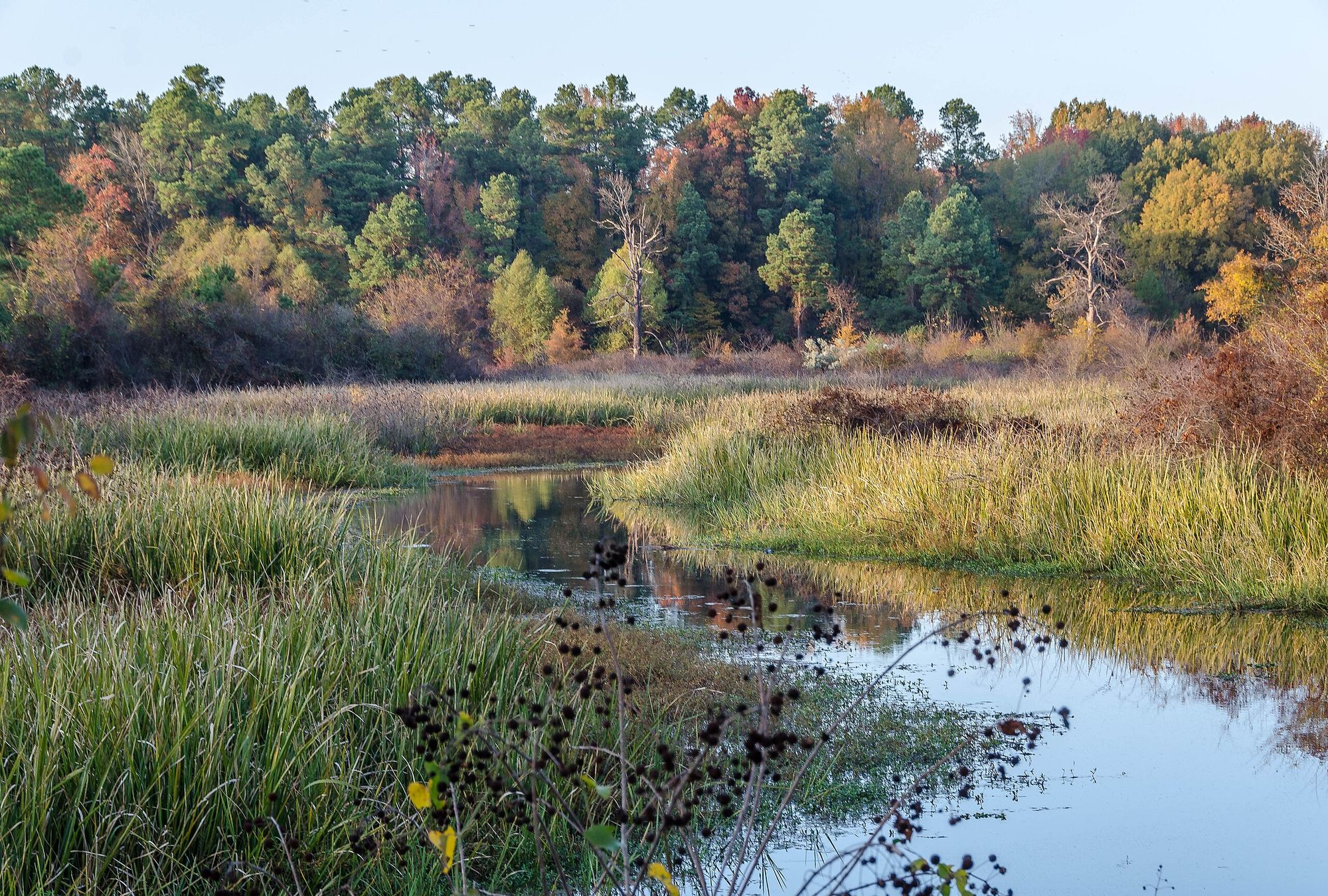
Bayou Bartholomew
- Boat Ramps
- 6
- Access Points
- 7
- Campsites
- 11
Bayou Bartholomew begins its journey northwest of Pine Bluff in Jefferson County, Arkansas, meandering approximately 364 miles through southeastern Arkansas before entering Louisiana's Morehouse Parish and eventually joining the Ouachita River near Sterlington. This ancient waterway, recognized as the longest bayou in the world, flows through a remarkably biodiverse corridor that once served as a channel of the Arkansas River roughly 1,800 to 2,200 years ago.
The bayou's character shifts as it winds through Jefferson, Lincoln, Drew, Desha, Chicot, and Ashley counties in Arkansas before crossing into Morehouse Parish, Louisiana. Its channel alternates between narrow, cypress-lined passages and broader stretches bordered by bottomland hardwood forests. The water typically maintains a dark, tannin-stained appearance from decaying vegetation, and the current remains gentle throughout most of its length.
Paddlers can access the bayou at several key locations. The Dr. Curtis Merrill Access in Pine Bluff (Jefferson County) provides convenient entry near the headwaters. Downstream, the Cane Creek Access near Star City (Lincoln County) offers another launch point, while the Little Bayou Wildlife Management Area Access in Ashley County serves paddlers exploring the southern Arkansas sections. In Louisiana, the Old Berlin Bridge in Morehouse Parish marks a particularly scenic stretch leading to the Highway 425 Bridge, covering approximately 7.8 miles through ancient cypress swamps.
The paddling difficulty ranges from easy to moderate, depending primarily on water levels rather than rapids or technical challenges. Spring months (January through May) typically provide optimal conditions with higher water levels, while summer and fall can present shallow stretches requiring occasional portaging. Beginners can handle most sections during favorable conditions, though navigating around fallen trees and occasional logjams demands basic maneuvering skills.
The bayou supports over 100 fish species, making it North America's second-most diverse stream system. Paddlers commonly observe great blue herons, wood ducks, and various wading birds. Alligators inhabit the warmer months, particularly in Louisiana sections. The surrounding forests shelter white-tailed deer, river otters, and beavers, while ancient bald cypress trees—some exceeding 1,000 years—tower along the banks, particularly near the Chemin-a-Haut confluence in Louisiana.
Historically, Bayou Bartholomew served as a vital transportation corridor during the 1800s. Steamboats navigated its waters, connecting interior Delta communities to markets in Monroe, Louisiana, and beyond. The bayou derives its name from the French colonial Barthélémy family who traveled and traded along its banks during the 18th century.
Water quality concerns persist due to agricultural runoff and sedimentation. The Bayou Bartholomew Alliance works actively to restore the waterway's ecological health. Paddlers should check current water levels before trips, as irrigation withdrawals during summer can significantly reduce flow. Multi-day expeditions are feasible for experienced paddlers willing to arrange shuttles and navigate sections with limited developed access.
Water access, boat ramps & amenities
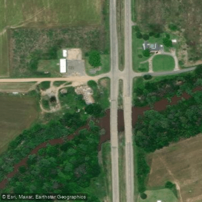
Learn how to get on Bayou Bartholomew. Uncover great paddling access points, boat ramps, and all the facilities you need for an unforgettable day on the water. Some locations shown may border or include private property. Always check property boundaries and applicable regulations before visiting. PaddleWays's Public & Private Land layer can help you plan your access with confidence.
Paddle smarter with real-time insights
Whether you're en route and conditions shift or you're looking for the best spot based on current flows, we enable you to make informed decisions on the fly.








Find Places to Paddle

Over 400,000 Places to Paddle
Every user gets free access to launch points, boat ramps, and public property parcels.


Water and weather conditions (10 day forecast)
See the best times to paddle Bayou Bartholomew and check the forecast before you go.
Bayou Bartholomew near Jones, LA
All Flow Stations
Paddling near Bayou Bartholomew

Mississippi River
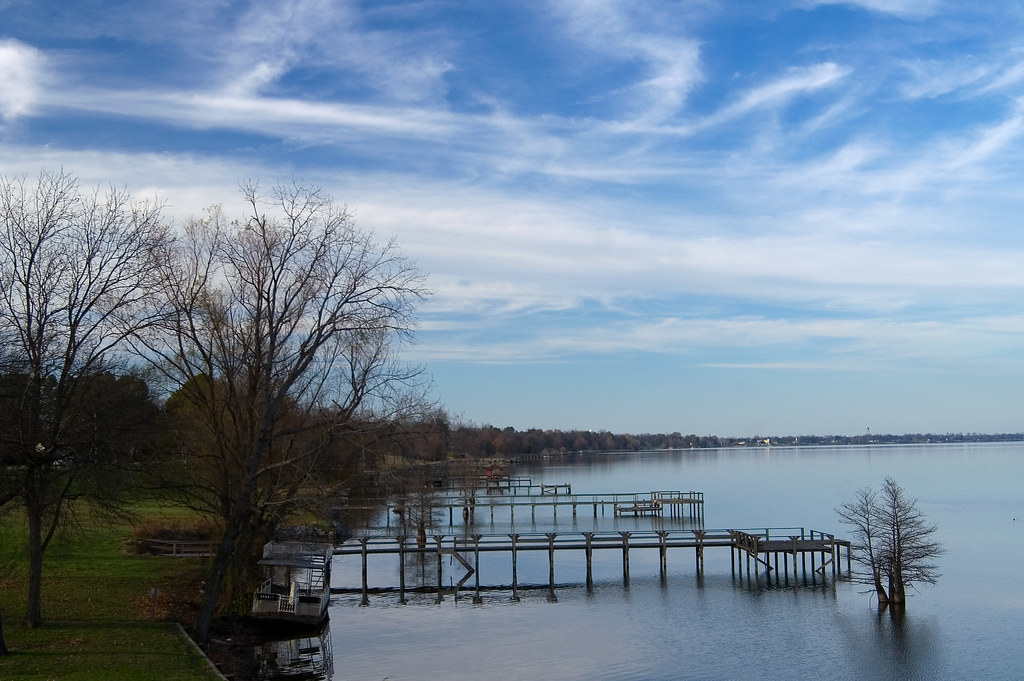
Lake Chicot

Arkansas River
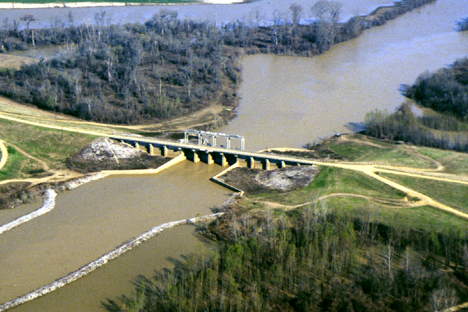
Yazoo River

White River
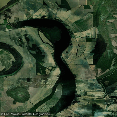
Lake Washington
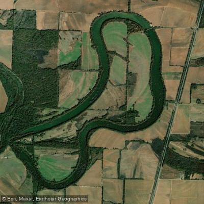
Lake Wallace
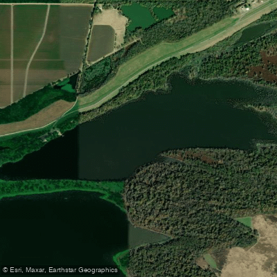
Kate Adams Lake
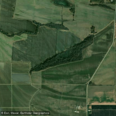
Big Sunflower River
Explore Arkansas waters
Top paddling waters
Popular Cities
Loading popular cities...
Explore near Bayou Bartholomew
Access points
- Dr. Curtis Merrell / Bayou Bartholomew Boat Ramp
- Highway 82 Boat Ramp
- Bayou Bartholomew Boat Ramp
- Cane Creek State Park Boat Ramp
- Little Bayou WMA Boat Ramp
- Bonner Ferry Road Boat Ramp
- 425 Bridge Access
- Bayou Bartholomew Bridge
- Bayou Bartholomew Bridge
- Bayou Bartholomew Bridge
- Bayou Bartholomew Bridge
- Bayou Bartholomew Bridge
- All 213 spots
Nearby waters
More in Arkansas

Smarter Paddling Starts in the App.
Paddleways gives you everything you need to plan smarter, paddle better, and own every trip from first launch to takeout.