Bayou D'Arbonne
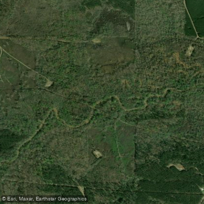
Bayou D'Arbonne
- Boat Ramps
- 5
- Access Points
- 6
- Campsites
- 4
Bayou D'Arbonne is a scenic waterway located in northern Louisiana, originating in Union Parish and flowing southward to join the Ouachita River near West Monroe. This picturesque bayou meanders through cypress swamps and bottomland hardwood forests, offering paddlers a unique glimpse into Louisiana's diverse ecosystems. The bayou stretches approximately 120 miles, with its upper reaches forming Lake D'Arbonne before continuing southward. It's a major tributary of the Ouachita River watershed, playing a crucial role in the region's hydrology and ecology.
Paddling opportunities on Bayou D'Arbonne range from serene flatwater experiences to more adventurous trips. The upper section, from Holland's Bluff to Lake D'Arbonne, offers a 10-mile stretch through the D'Arbonne National Wildlife Refuge, ideal for nature enthusiasts and anglers. Another popular route is the Beaver and Duck Islands Loop in Lake D'Arbonne, a 5-mile circuit perfect for beginners and families. The difficulty level is generally easy to moderate, with mostly flatwater paddling suitable for novice to intermediate paddlers. However, seasonal water levels and weather conditions can affect paddling difficulty.
Spring and fall are ideal seasons for paddling, offering comfortable temperatures and typically stable water levels. Summer can be hot and humid, while winter may see cooler temperatures and higher water levels.
The bayou supports a rich ecosystem, home to diverse wildlife including wood ducks, giant egrets, great blue herons, and various fish species. Paddlers might spot basking turtles, beavers, and even alligators in some areas. Key landmarks include the D'Arbonne National Wildlife Refuge, Lake D'Arbonne, and the confluence with the Ouachita River. The Holland's Bluff boat ramp serves as a popular access point, while Lazarre Park in West Monroe offers a take-out point for longer trips. Access points are available near Farmerville, Bernice, and West Monroe. The bayou passes through or near several small towns, offering glimpses of rural Louisiana life.
Historically, Bayou D'Arbonne has been important for transportation and commerce in the region. Today, it's valued for recreation, wildlife habitat, and as a vital part of Louisiana's water resources.
Safety considerations include being aware of weather conditions, potential submerged obstacles, and local wildlife. Paddlers should also be mindful of fishing and hunting activities in the area, especially in the wildlife refuge.
For those seeking a multi-day adventure, it's possible to paddle from Holland's Bluff through Lake D'Arbonne and down to the Ouachita River, with camping options available along the way. This trip offers a comprehensive experience of the bayou's diverse landscapes and ecosystems.
Water access, boat ramps & amenities
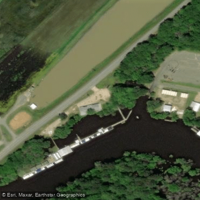
Learn how to get on Bayou D'Arbonne. Uncover great paddling access points, boat ramps, and all the facilities you need for an unforgettable day on the water. Some locations shown may border or include private property. Always check property boundaries and applicable regulations before visiting. PaddleWays's Public & Private Land layer can help you plan your access with confidence.
Paddle smarter with real-time insights
Whether you're en route and conditions shift or you're looking for the best spot based on current flows, we enable you to make informed decisions on the fly.








Find Places to Paddle

Over 400,000 Places to Paddle
Every user gets free access to launch points, boat ramps, and public property parcels.


Water and weather conditions (10 day forecast)
See the best times to paddle Bayou D'Arbonne and check the forecast before you go.
Byu D'Arbonne nr Dubach, LA
All Flow Stations
Paddling near Bayou D'Arbonne
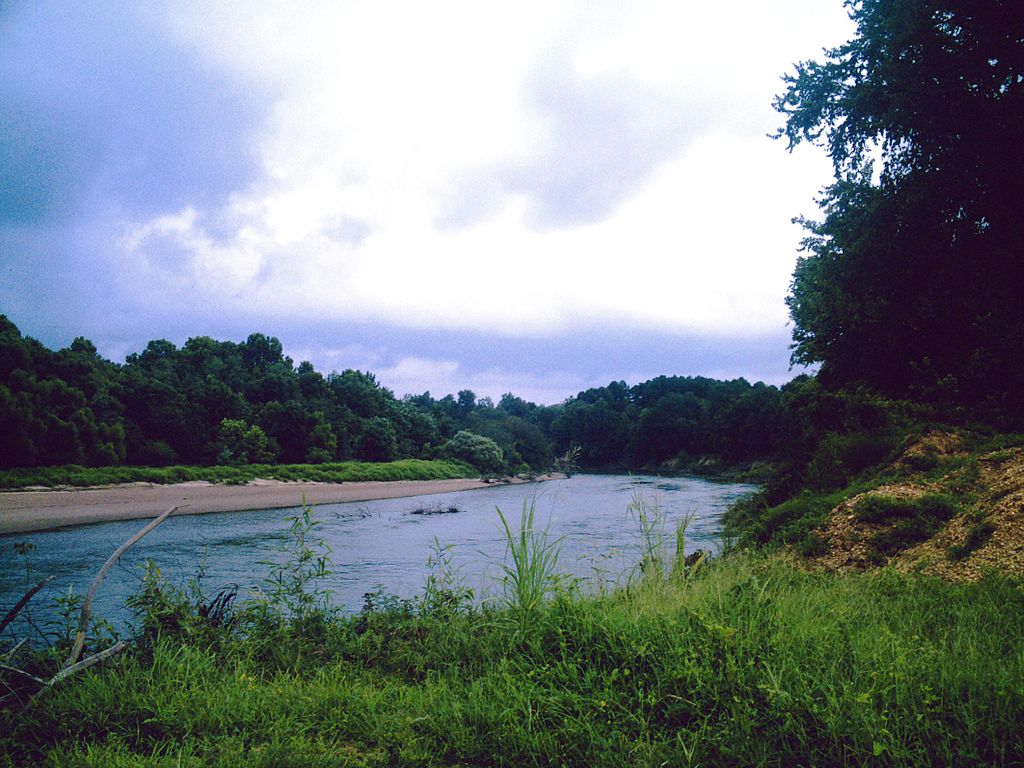
Ouachita River
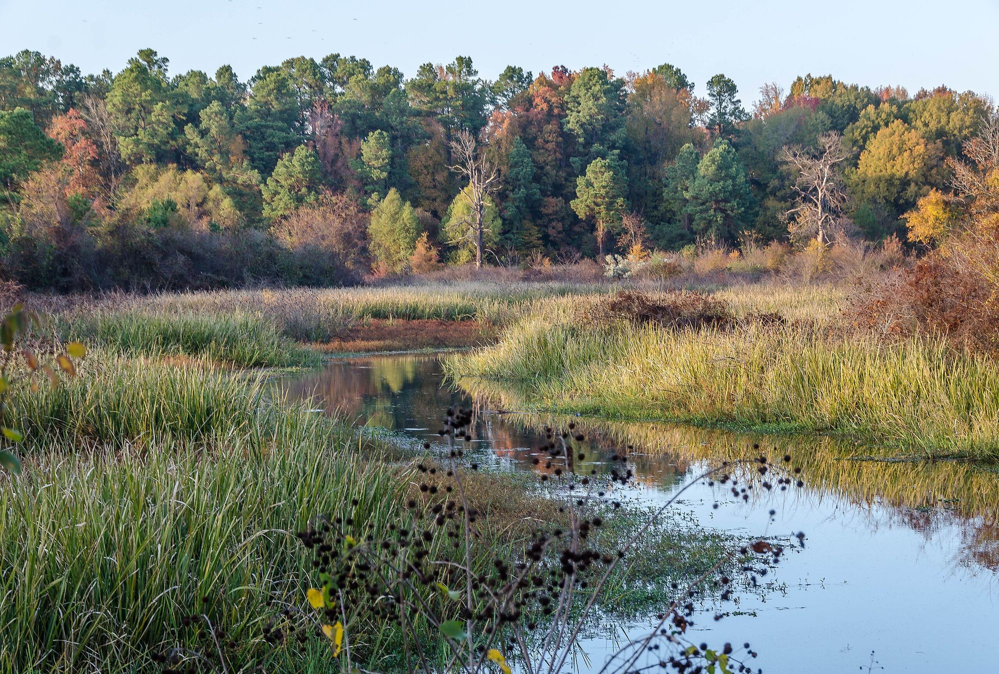
Bayou Bartholomew
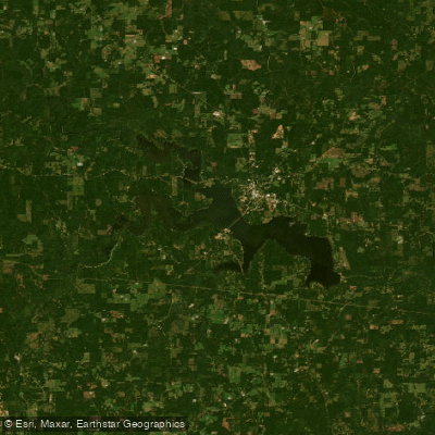
Bayou D'Arbonne Lake
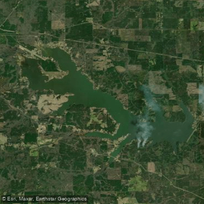
Lake Claiborne
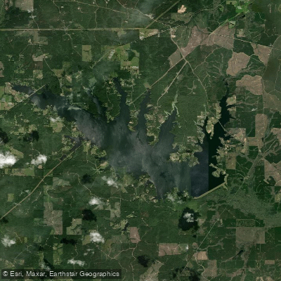
Caney Creek Reservoir
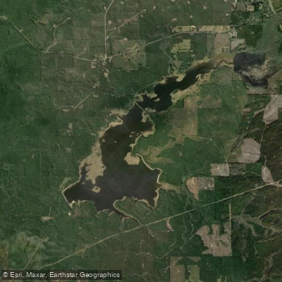
Kepler Creek Lake
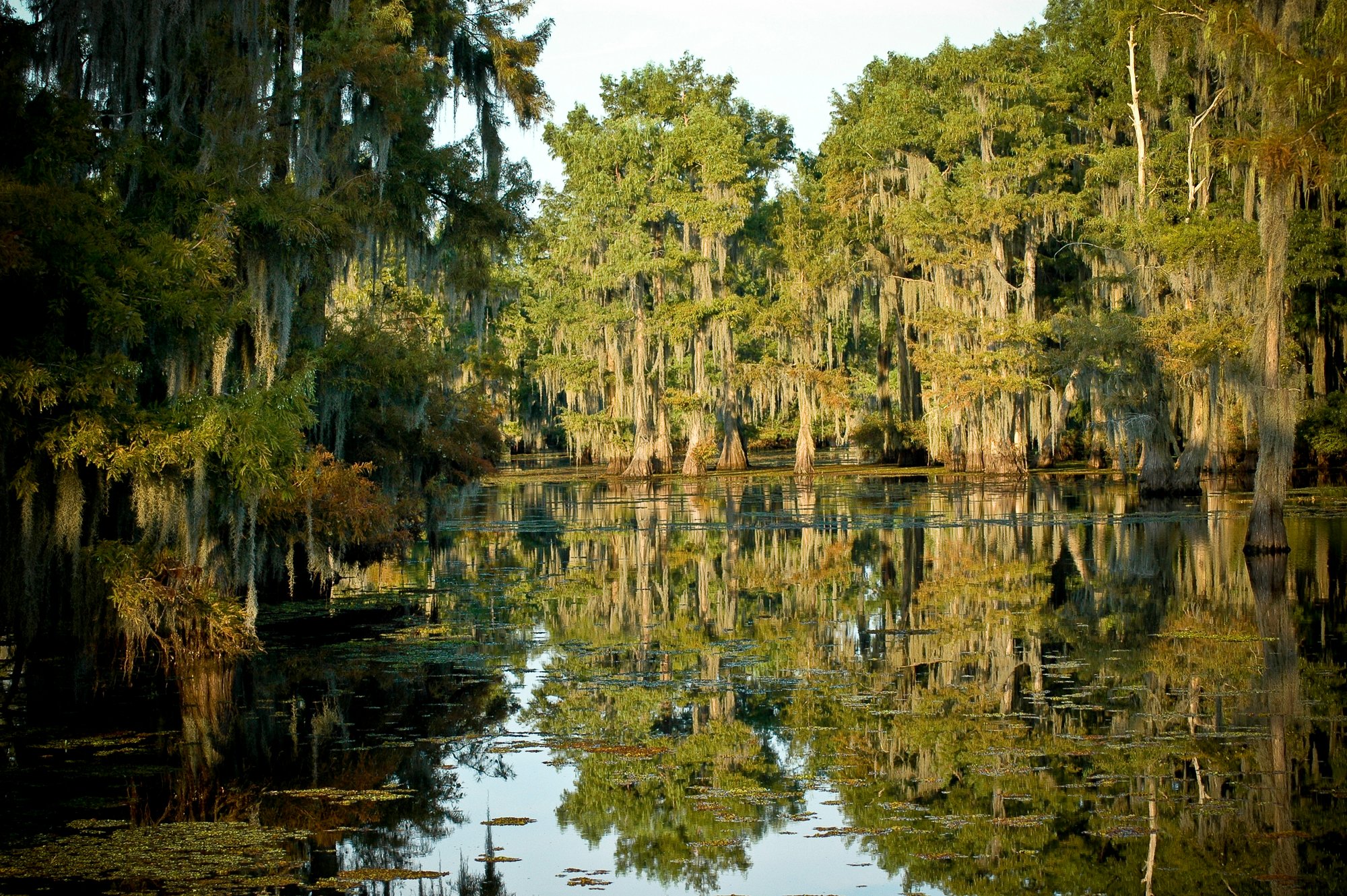
Lake Bistineau
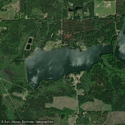
Caney Lakes
Corney Bayou
Explore Louisiana waters
Top paddling waters
Popular Cities
Loading popular cities...
Explore near Bayou D'Arbonne
Access points
Nearby waters
More in Louisiana

Smarter Paddling Starts in the App.
Paddleways gives you everything you need to plan smarter, paddle better, and own every trip from first launch to takeout.