Bayou Petit Caillou
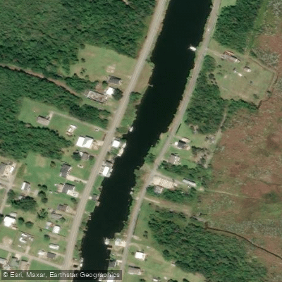
Bayou Petit Caillou
- Boat Ramps
- 6
- Access Points
- 6
- Campsites
- 0
Bayou Petit Caillou, meaning little pebble in French, is a remnant distributary of the Mississippi River's ancient Lafourche Delta system in southeastern Louisiana. This slow-moving waterway flows south through Terrebonne Parish, paralleling Louisiana Highway 56 as it meanders through brackish marshes before emptying into the Gulf of Mexico near Cocodrie. The bayou offers paddlers a unique journey through Louisiana's rapidly changing coastal ecosystem.
The main paddling route extends approximately 17 miles from Chauvin to Cocodrie, with several access points along Highway 56 allowing for shorter trips. The waterway is entirely flatwater, making it suitable for beginners, though wind and tides can create challenging conditions near the coast.
Spring and fall provide the most comfortable paddling weather, while summer offers opportunities to observe nesting shorebirds. Winters can be chilly but often provide clearer waters and better fishing. Paddlers should be aware of alligators, though attacks are extremely rare.
Notable landmarks include the Chauvin Sculpture Garden, showcasing folk artist Kenny Hill's haunting concrete statues, and the Louisiana Universities Marine Consortium (LUMCON) facility near Cocodrie. The Marguerite Moffett Audubon Sanctuary protects 108 acres of brackish marsh and shallow open water along the bayou's banks, offering excellent birding opportunities.
Key boat launches include those in Chauvin, 8 miles north of Cocodrie, and 2 miles north of Cocodrie. The small fishing community of Cocodrie serves as the terminus, with amenities including lodging and a marina.
Historically, Bayou Petit Caillou played a vital role in the region's oyster and shrimping industries. Today, it serves as a stark reminder of Louisiana's land loss crisis, with subsidence and sea-level rise visibly reshaping the landscape.
Paddlers should be mindful of boat traffic, especially near Cocodrie, and check weather forecasts for wind and tide conditions. Multi-day trips are possible by camping on elevated platforms in the marsh, though permits may be required. As paddlers travel south, they witness the gradual transition from freshwater swamps to brackish marshes and finally open water, providing a poignant journey through Louisiana's disappearing wetlands.
Water access, boat ramps & amenities
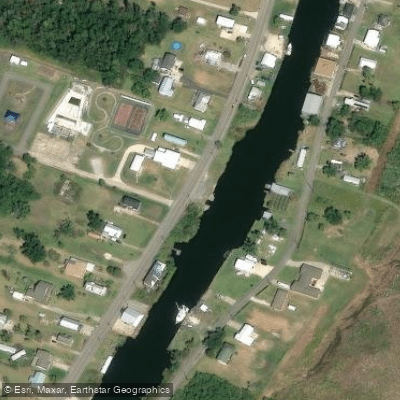
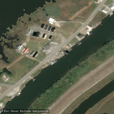
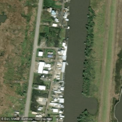
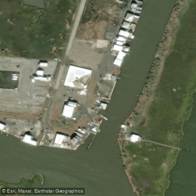
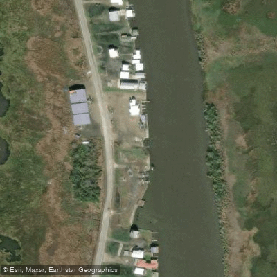
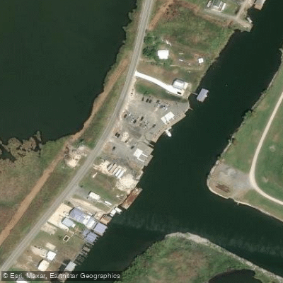
Learn how to get on Bayou Petit Caillou. Uncover great paddling access points, boat ramps, and all the facilities you need for an unforgettable day on the water. Some locations shown may border or include private property. Always check property boundaries and applicable regulations before visiting. PaddleWays's Public & Private Land layer can help you plan your access with confidence.
Paddle smarter with real-time insights
Whether you're en route and conditions shift or you're looking for the best spot based on current flows, we enable you to make informed decisions on the fly.








Find Places to Paddle

Over 400,000 Places to Paddle
Every user gets free access to launch points, boat ramps, and public property parcels.


Water and weather conditions (10 day forecast)
See the best times to paddle Bayou Petit Caillou and check the forecast before you go.
No forecast data available.
Paddling near Bayou Petit Caillou
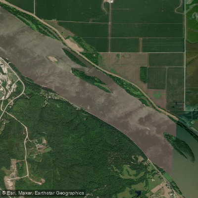
Mississippi River
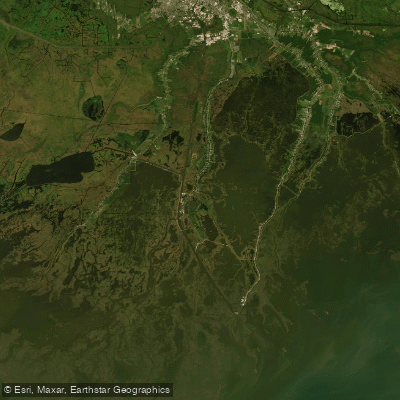
Houma Navigation Canal
Bayou Black
Lake Fields
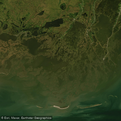
Bayou Grand Caillou
Lake Theriot
Bayou Terrebonne
Explore Louisiana waters
Top paddling waters
Popular Cities
Loading popular cities...
Explore near Bayou Petit Caillou
Access points
- Little Caillou Road Boat Ramp
- Sportman's Paradise Boat Ramp
- Shoreline Drive Boat Ramp
- Redfish Street Boat Ramp
- Tradewinds Boat Ramp
- Shark's Boat Ramp
- Little Caillou Bridge
- Petit Caillou Bayou Bridge
- Petit Caillou Bridge
- Petit Caillou Bayou Bridge
- Bayou Petit Caillou Bridge
- Petit Caillou Bayou Bridge
- All 68 spots
Nearby waters
More in Louisiana

Smarter Paddling Starts in the App.
Paddleways gives you everything you need to plan smarter, paddle better, and own every trip from first launch to takeout.