Houma Navigation Canal
- Saltwater
- Bay
Houma Navigation Canal
- Saltwater
- Bay
- Sq. miles
- 3.5
- Boat Ramps
- 1
- Access Points
- 0
- Campsites
- 0
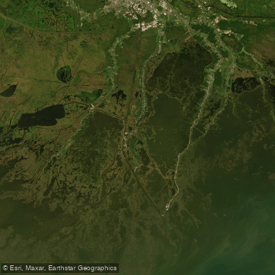
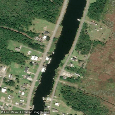
The Houma Navigation Canal is a major engineered waterway in coastal Louisiana, providing a direct route from Houma to the Gulf of Mexico. It is a wide, straight channel with significant commercial and recreational boat traffic, including large ships, which creates a primary safety consideration for paddlers. The canal is a saltwater feature influenced by tides, and paddlers must be prepared for strong currents, substantial wind fetch, and frequent wakes from powerboats. A major multi-year dredging operation is scheduled from October 2024 through July 2025, which will involve active dredge equipment and may create additional navigation hazards and restricted areas. The ongoing construction of the Houma Navigation Canal Lock Complex also indicates a dynamic industrial environment.
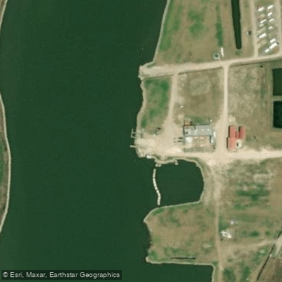
Primary public access for paddlers is provided by the Houma Navigation Canal boat launch on Louisiana Highway 3011. Other nearby launch facilities that offer entry to the connected bayou system include the Houma Canal Boat Launch on LA 315, Four Point Landing in Dulac on the canal itself, and the Houma Fire Station Boat Ramp. The canal connects to a vast network of smaller bayous and interior lakes, such as Lake Mechant and Lost Lake, which are being more sheltered and less trafficked than the main channel. These adjacent waterways offer paddlers a chance to explore the marsh landscape away from the heaviest boat traffic.
The area is characterized by working marshland with industrial infrastructure, including locks, bridges, and frequent commercial vessel activity. The paddling experience is best suited for those comfortable in active, wide-open channels with exposure to wind and waves. Due to the industrial nature and heavy traffic, paddlers should exercise extreme caution, stay near the channel edges, wear a personal flotation device at all times, and be vigilant for large ships. Planning a trip to paddle with the tidal current is advised to reduce effort, and checking the U.S. Coast Guard Local Notice to Mariners for updates on dredging and construction is essential for safety.
Water access, boat ramps & amenities
Learn how to get on Houma Navigation Canal. Uncover great paddling access points, boat ramps, and all the facilities you need for an unforgettable day on the water. Some locations shown may border or include private property. Always check property boundaries and applicable regulations before visiting. PaddleWays's Public & Private Land layer can help you plan your access with confidence.
Paddle smarter with real-time insights
Whether you're en route and conditions shift or you're looking for the best spot based on current flows, we enable you to make informed decisions on the fly.








Find Places to Paddle

Over 400,000 Places to Paddle
Every user gets free access to launch points, boat ramps, and public property parcels.


Tides, wind & water conditions (10 day forecast)
On open water, wind and tide matter as much as the weather. See the best times to paddle Houma Navigation Canal and check the marine forecast before you launch.
Loading tide predictions…
Paddling near Houma Navigation Canal
Mississippi River
Bayou Black
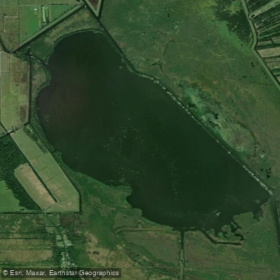
Lake Fields
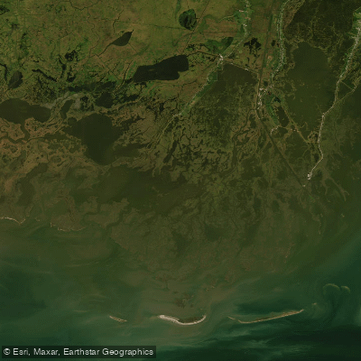
Bayou Grand Caillou
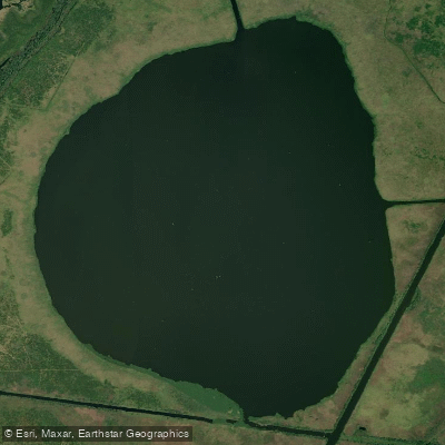
Lake Theriot
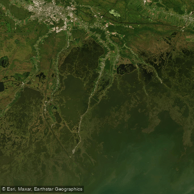
Bayou Terrebonne
Bayou Petit Caillou
Explore Louisiana waters
Top paddling waters
Popular Cities
Loading popular cities...
Explore near Houma Navigation Canal
Access points
Nearby waters
More in Louisiana

Smarter Paddling Starts in the App.
Paddleways gives you everything you need to plan smarter, paddle better, and own every trip from first launch to takeout.