Bayou Terrebonne
- Saltwater
- Bayou
Bayou Terrebonne
- Saltwater
- Bayou
- Sq. miles
- 1.4
- Boat Ramps
- 3
- Access Points
- 0
- Campsites
- 0
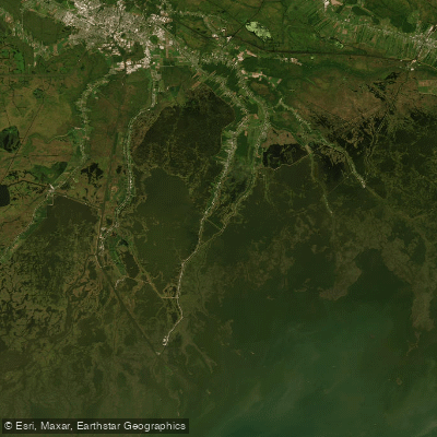
Bayou Terrebonne is a tidal bayou flowing through Terrebonne Parish, Louisiana, serving as a historic waterway and a developing hub for non-motorized paddling. A significant initiative, the Bayou Terrebonne Paddle Trail, is actively creating new access points, with a floating paddle launch now open in downtown Houma to serve as a trailhead. Existing public launches provide access, including a concrete boat ramp on LA-55 in Montegut, noted for its calm, sheltered water suitable for beginners, and a launch behind the Ashland Landfill off LA-57 in Houma. The long-term vision is a 65-mile paddle loop connecting Bayou Terrebonne to the parish's other four bayous via connecting canals and Lake Boudreaux, though this extensive route remains in the planning stages.
Paddling conditions are entirely governed by tides, not river flow. The tidal range is modest, with a typical high tide around 0.7 meters (2.3 feet) and low tide around 0.25 meters (0.8 feet) near Lapeyrouse, creating gentle currents. Planning around slack tide is recommended for the easiest conditions. The bayou's narrow, winding channels through coastal marshes offer protection from large waves, but paddlers must remain vigilant for motorized boat traffic, especially in constricted areas and near marinas. Wind exposure can increase on broader sections and is a particular concern for stand-up paddleboarders.
The paddling experience immerses you in a working coastal landscape with a rich Cajun cultural history. The scenery includes cypress stands, historic fishing shacks, and marsh grasses. Wildlife viewing is a key attraction, with opportunities to see American bald eagles perched in cypress trees during winter, nutria, and seasonal dragonfly migrations. A specific point of interest is a small island within the bayou known for wild iris blooms in late spring. The water is accessible year-round, with paddling possible in all seasons. Facilities at launch sites are generally basic, typically consisting of a boat ramp and parking lot. As a saltwater feature connected to the Gulf of Mexico, water quality can be influenced by coastal conditions, and insects like mosquitoes and gnats are common in the warmer months, necessitating protective clothing and repellent.
Water access, boat ramps & amenities
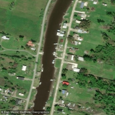
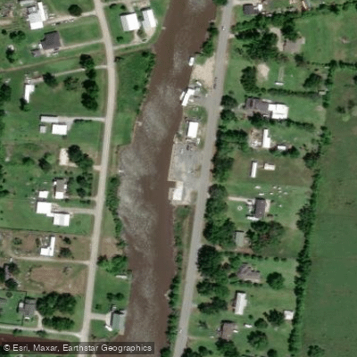
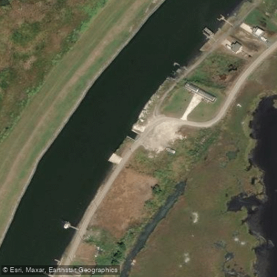
Learn how to get on Bayou Terrebonne. Uncover great paddling access points, boat ramps, and all the facilities you need for an unforgettable day on the water. Some locations shown may border or include private property. Always check property boundaries and applicable regulations before visiting. PaddleWays's Public & Private Land layer can help you plan your access with confidence.
Paddle smarter with real-time insights
Whether you're en route and conditions shift or you're looking for the best spot based on current flows, we enable you to make informed decisions on the fly.








Find Places to Paddle

Over 400,000 Places to Paddle
Every user gets free access to launch points, boat ramps, and public property parcels.


Tides, wind & water conditions (10 day forecast)
On open water, wind and tide matter as much as the weather. See the best times to paddle Bayou Terrebonne and check the marine forecast before you launch.
Loading tide predictions…
Paddling near Bayou Terrebonne
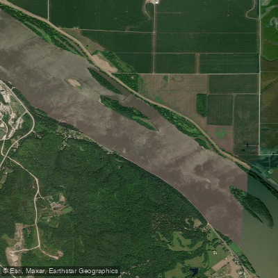
Mississippi River
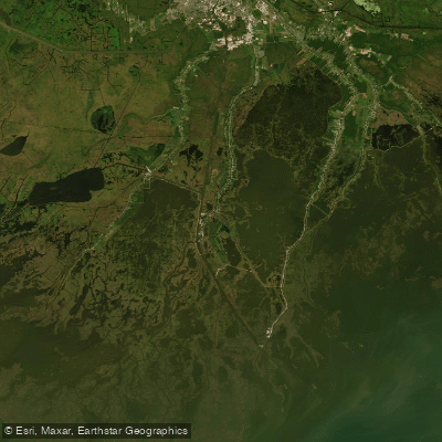
Houma Navigation Canal
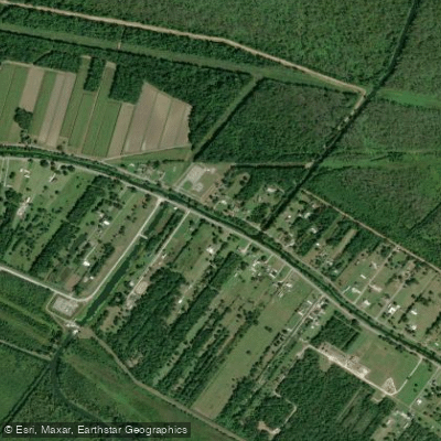
Bayou Black
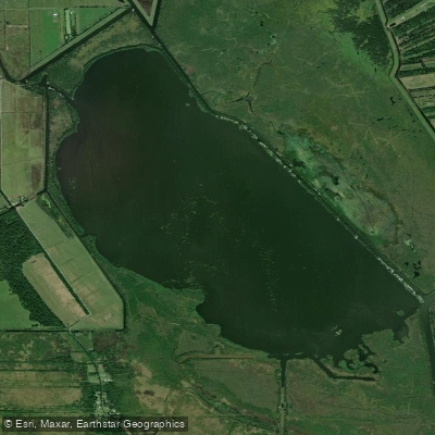
Lake Fields
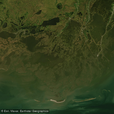
Bayou Grand Caillou
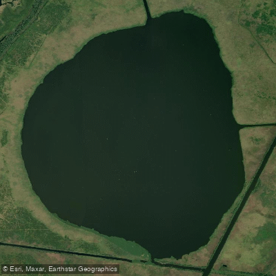
Lake Theriot
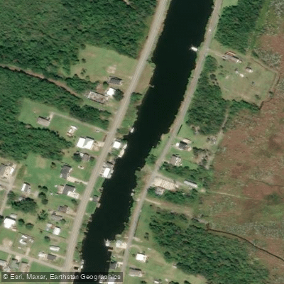
Bayou Petit Caillou
Explore Louisiana waters
Top paddling waters
Popular Cities
Loading popular cities...
Explore near Bayou Terrebonne
Access points
Nearby waters
More in Louisiana

Smarter Paddling Starts in the App.
Paddleways gives you everything you need to plan smarter, paddle better, and own every trip from first launch to takeout.