Calcasieu Ship Channel
- Saltwater
- Channel
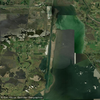
Calcasieu Ship Channel
- Saltwater
- Channel
- Sq. miles
- 3.4
- Boat Ramps
- 0
- Access Points
- 0
- Campsites
- 0
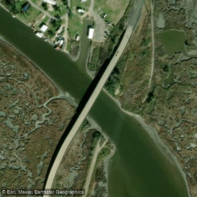
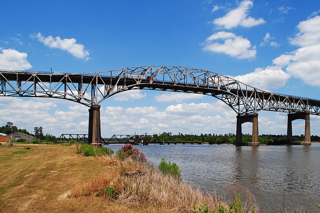
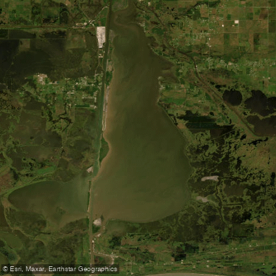
The Calcasieu Ship Channel is a 40-mile-long, man-made canal that runs from the Port of Lake Charles south to the Gulf of Mexico, cutting through Calcasieu Lake. It is a deepened and straightened saltwater channel, dredged to approximately 40 feet deep in its main sections. This is a major commercial navigation corridor, so paddlers must expect significant motorized boat traffic, including large ships. The channel connects with several smaller lakes and the Intracoastal Waterway, providing access to vast coastal marshes and brackish waterways. Multiple concrete boat ramps serve as public access points for paddlers. Specific launches include the Cameron Ship Channel boat ramp, the Cameron Ferry West Landing near Cameron, the Brown’s Lake Boat Ramp in Hackberry, and the Hackberry Boat Launch. These ramps are suitable for kayaks, canoes, and paddleboards and are generally free to use, though fees should be verified locally. Conditions on the channel itself are calm and flatwater, making it beginner-friendly in terms of wave action, but this belies the significant hazard posed by vessel wakes and the need for extreme caution when crossing or paddling alongside the active shipping lane. The water is saltwater, and the area is part of the Calcasieu Estuary. Paddling is possible year-round, with the Southeast's warm climate supporting activity across all seasons. The surrounding landscape offers views of coastal marshes and estuaries, with wildlife such as alligators and numerous bird species present. Facilities at the launches are typically limited to the boat ramps themselves and parking areas. Cell phone service can be limited in some areas, so paddlers should plan accordingly.
Water access, boat ramps & amenities
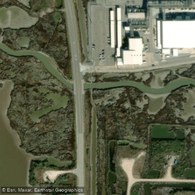
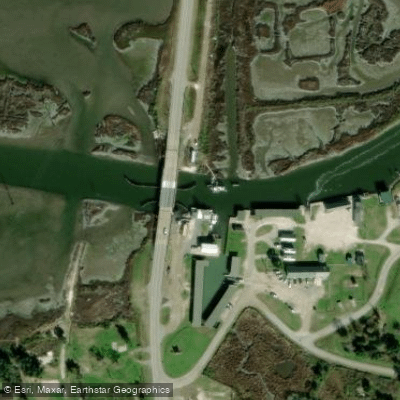
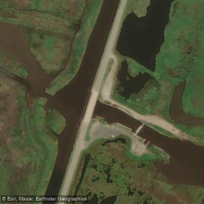
Learn how to get on Calcasieu Ship Channel. Uncover great paddling access points, boat ramps, and all the facilities you need for an unforgettable day on the water. Some locations shown may border or include private property. Always check property boundaries and applicable regulations before visiting. PaddleWays's Public & Private Land layer can help you plan your access with confidence.
Paddle smarter with real-time insights
Whether you're en route and conditions shift or you're looking for the best spot based on current flows, we enable you to make informed decisions on the fly.








Find Places to Paddle

Over 400,000 Places to Paddle
Every user gets free access to launch points, boat ramps, and public property parcels.


Tides, wind & water conditions (10 day forecast)
On open water, wind and tide matter as much as the weather. See the best times to paddle Calcasieu Ship Channel and check the marine forecast before you launch.
Loading tide predictions…
Explore Louisiana waters
Top paddling waters
Popular Cities
Loading popular cities...
Explore near Calcasieu Ship Channel

Smarter Paddling Starts in the App.
Paddleways gives you everything you need to plan smarter, paddle better, and own every trip from first launch to takeout.