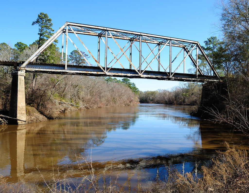
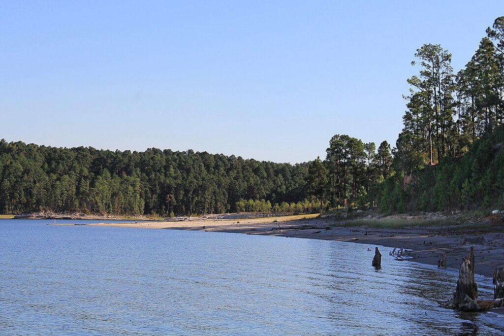
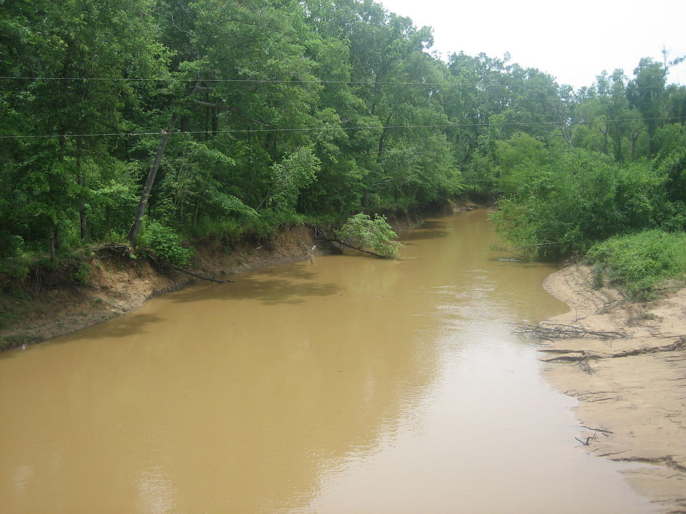
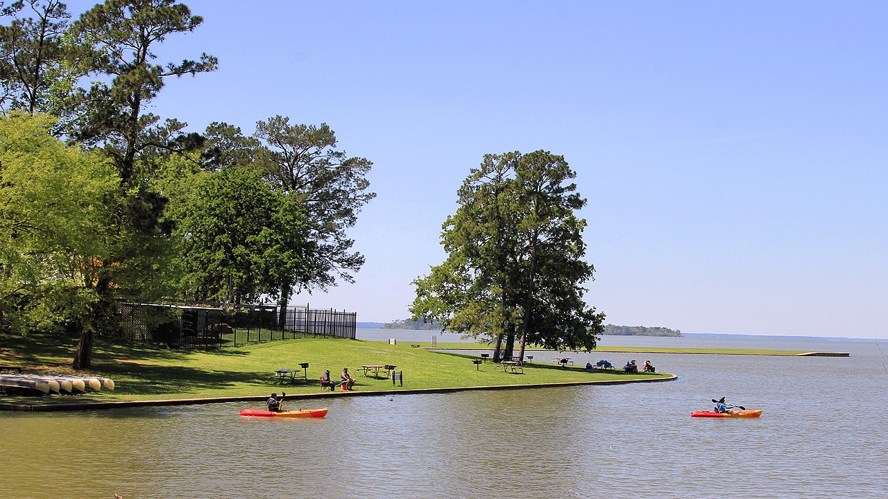
The Neches River, a scenic waterway in East Texas, offers paddlers a diverse and captivating journey through some of the state's most pristine natural areas. Originating in Van Zandt County, the river flows southeast for over 400 miles before emptying into Sabine Lake near Port Arthur, showcasing the region's rich biodiversity and natural beauty along its course.
Paddlers of various skill levels can enjoy several notable sections of the Neches River. The Cherokee Neches Paddling Trail, a 6.6-mile stretch near Jacksonville, provides a perfect introduction to the river's charms. This section features quiet pools and small riffles, making it suitable for beginners and families.
Further downstream, the Neches-Davy Crockett Paddling Trail offers a 9.2-mile route through the picturesque Davy Crockett National Forest, ideal for a leisurely day trip. For more experienced paddlers seeking a multi-day adventure, the 40-mile section flowing through Houston, Angelina, Trinity, and Polk Counties presents a truly wild and remote experience. This longer stretch typically takes three to four days to complete and showcases the river at its most untamed.
The Neches River is primarily a flatwater paddling destination, with occasional small riffles adding interest to certain sections. While most areas are suitable for novice paddlers, some remote stretches require more experience and self-sufficiency. Water levels can significantly impact the paddling experience, with low water potentially exposing snags and logjams that require navigation skills.
Spring and fall are generally the best seasons for paddling the Neches, offering comfortable temperatures and more reliable water levels. Summer can be hot and humid, while winter paddling is possible but requires proper cold-weather gear.
The river's ecosystem is a haven for wildlife enthusiasts. Paddlers can expect to see a variety of bird species, including water birds and songbirds. The surrounding forests, dominated by cypress, oak, sweetgum, and pine trees, provide habitat for diverse flora and fauna. Keep an eye out for turtles basking on logs and the occasional alligator in the lower reaches.
Several access points make the Neches River easily reachable. The Neches River Run Park near Jacksonville serves as a popular put-in for the Cherokee Neches Trail, while Anderson Crossing on County Road 1155 marks the start of the Neches-Davy Crockett Trail. Towns like Lufkin and Crockett serve as convenient bases for river expeditions.
Historically, the Neches River played a crucial role in early settlement and commerce in East Texas. Today, it continues to be an important ecological and recreational resource. The annual Neches River Rendezvous, typically held in June, celebrates this heritage and draws hundreds of paddling enthusiasts.
Safety considerations include being prepared for remote stretches with limited access points and potential logjams or snags, especially during low water conditions. Paddlers should always check current river conditions and weather forecasts before embarking on a trip.
For those seeking an extended adventure, combining the Cherokee Neches and Neches-Davy Crockett Paddling Trails can create a longer 15.8-mile journey, offering a more immersive experience of this beautiful East Texas river. Whether you're looking for a short day trip or a multi-day expedition, the Neches River provides a perfect blend of scenic beauty, wildlife encounters, and paddling enjoyment for outdoor enthusiasts.