Sabine Pass
- Saltwater
- Pass
Sabine Pass
- Saltwater
- Pass
- Sq. miles
- 4.9
- Boat Ramps
- 1
- Access Points
- 1
- Campsites
- 0
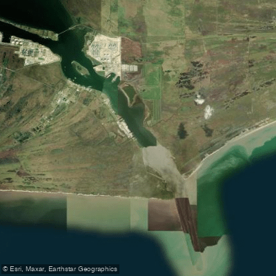
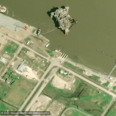
Sabine Pass is a coastal pass connecting the Gulf of Mexico to Sabine Lake, forming the border between Texas and Louisiana. The primary paddling character is defined by expansive, open saltwater marshes and a network of narrow, winding channels within the adjacent Texas Point National Wildlife Refuge. The aesthetic is dominated by vast skies, cordgrass marshes, and open water, with the water itself noted to be salty. Key launch points for paddlers are concentrated in the immediate area. The First Avenue Boat Ramp in Sabine Pass provides direct access to the channel network within the refuge. The Sabine Pass Battleground State Historic Site also offers a public boat launch on Sabine Pass. Another nearby option is the launch facilities at Sea Rim State Park, though its floating campsite is closed and its East Beach was closed to vehicles due to a wash-out; park hunting dates can restrict non-hunting access to the marsh until noon on specific dates from fall through winter. Paddling conditions are generally calm and sheltered, suitable for beginners, with no significant current or wave hazards expected at the launch points. However, the open nature of the pass and adjacent Gulf means wind is a significant factor; afternoon winds can pick up quickly on open water, and there is a noted chance of being blown out to sea, indicating exposure to strong winds and fetch. Morning hours typically offer the calmest water. The area supports a rich diversity of wildlife. Birdwatchers can expect to see large numbers of waterfowl, gulls, terns, loons, grebes, and shorebirds like ibis, Roseate Spoonbills, and Clapper Rails in the marshes. Alligators are also commonly observed. The Sabine Pass Battleground State Historic Site adds a layer of cultural significance to a visit. For trip planning, paddlers can explore the intricate channels of Texas Point NWR from the First Avenue launch, with one described route traveling through Pole Lake and up a narrowing channel to the Cattlewalk Trail. It is important to note that the GIWW (Gulf Intracoastal Waterway) crosses the area, indicating the potential for significant commercial and recreational boat traffic that paddlers must be aware of and avoid. Most public boat ramps in the area are free to use, though some state parks may charge a small parking fee. Cell service is good at the main launch points.
Water access, boat ramps & amenities
Learn how to get on Sabine Pass. Uncover great paddling access points, boat ramps, and all the facilities you need for an unforgettable day on the water. Some locations shown may border or include private property. Always check property boundaries and applicable regulations before visiting. PaddleWays's Public & Private Land layer can help you plan your access with confidence.
Paddle smarter with real-time insights
Whether you're en route and conditions shift or you're looking for the best spot based on current flows, we enable you to make informed decisions on the fly.








Find Places to Paddle

Over 400,000 Places to Paddle
Every user gets free access to launch points, boat ramps, and public property parcels.


Tides, wind & water conditions (10 day forecast)
On open water, wind and tide matter as much as the weather. See the best times to paddle Sabine Pass and check the marine forecast before you launch.
Loading tide predictions…
Paddling near Sabine Pass

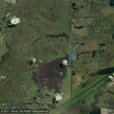
Explore Louisiana waters
Top paddling waters
Popular Cities
Loading popular cities...
Explore near Sabine Pass

Smarter Paddling Starts in the App.
Paddleways gives you everything you need to plan smarter, paddle better, and own every trip from first launch to takeout.