Luckse Sound
- Saltwater
- Sound
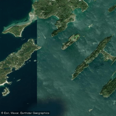
Luckse Sound
- Saltwater
- Sound
- Sq. miles
- 4.2
- Boat Ramps
- 1
- Access Points
- 0
- Campsites
- 0
Luckse Sound is a body of saltwater within Casco Bay, Maine, located between several islands including Cliff Island, Hope Island, and Sand Island. It provides a primary route for paddlers heading to popular outer island destinations like Jewell Island, which is approximately eight miles from Portland. The sound is exposed to open ocean conditions from the southeast, which can generate significant swells and breaking surf on its many ledges and offshore rocks, particularly during windy weather. Paddlers report that wind and waves can be strong and challenging, especially when crossing more exposed sections, but conditions can become more sheltered on the western side of islands like Cliff Island. Tidal currents are a significant factor, with notable currents in adjacent passages like Hussey Sound and the constricted area between Cliff and Bates islands near Mink Rocks, which is a hazardous area of jagged ledges that requires careful navigation.
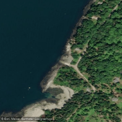
Access points for launching and landing are found on the mainland and islands. The Eastern Promenade in Portland features a boat ramp and parking lot suitable for a trip conclusion. Willard Beach in South Portland is another documented take-out point. For hand-launching kayaks, specific mainland sites like the Recompence Shore Campground at Wolfe’s Neck Farm in Freeport offer access, though caution is advised as some ramps, such as at Winslow Park, may not have sufficient water at low tide. The sound offers views of several islands including Hope, Long, Vail, and Peaks Island. Wildlife sightings include eagles, and the area features historical sites like Fort Gorges and the World War II spotting towers on Jewell Island. The water body is used by motorboats, and paddlers should be prepared for variable conditions, planning trips around tide stages to navigate shallow areas and strong currents safely.
Water access, boat ramps & amenities
Learn how to get on Luckse Sound. Uncover great paddling access points, boat ramps, and all the facilities you need for an unforgettable day on the water. Some locations shown may border or include private property. Always check property boundaries and applicable regulations before visiting. PaddleWays's Public & Private Land layer can help you plan your access with confidence.
Paddle smarter with real-time insights
Whether you're en route and conditions shift or you're looking for the best spot based on current flows, we enable you to make informed decisions on the fly.








Find Places to Paddle

Over 400,000 Places to Paddle
Every user gets free access to launch points, boat ramps, and public property parcels.


Tides, wind & water conditions (10 day forecast)
On open water, wind and tide matter as much as the weather. See the best times to paddle Luckse Sound and check the marine forecast before you launch.
Loading tide predictions…
Paddling near Luckse Sound
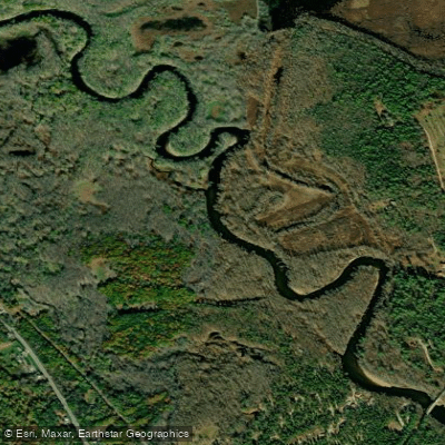
Saco River
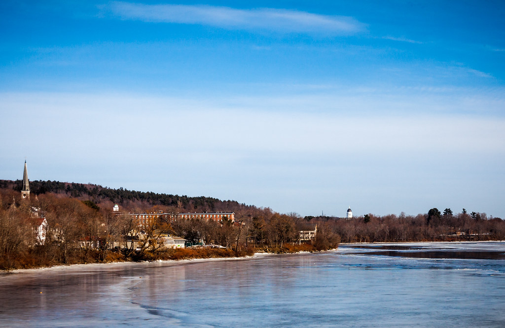
Kennebec River
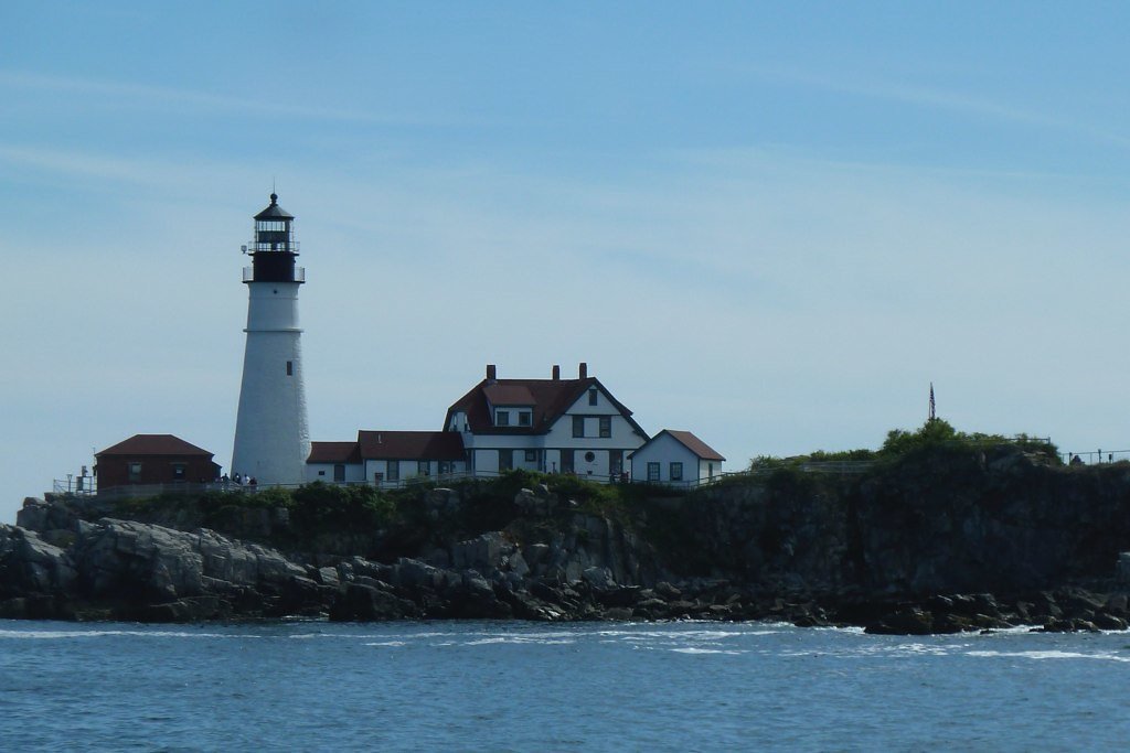
Casco Bay
Androscoggin River
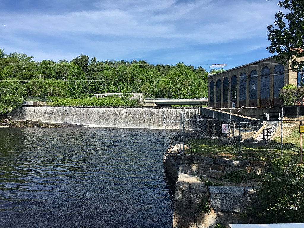
Salmon Falls River
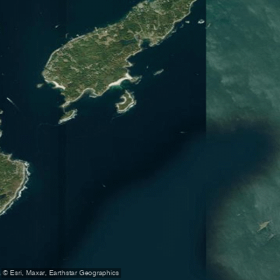
Hussey Sound
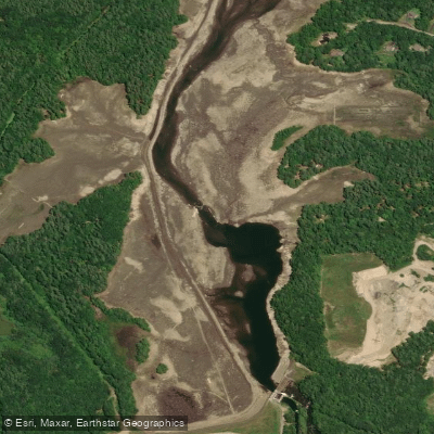
Presumpscot River
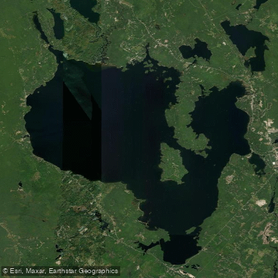
Sebago Lake
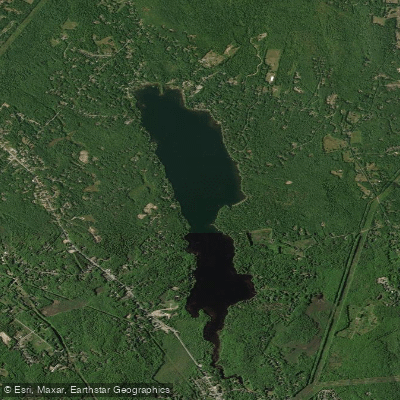
Highland Lake
Explore Maine waters
Top paddling waters
Popular Cities
Loading popular cities...
Explore near Luckse Sound

Smarter Paddling Starts in the App.
Paddleways gives you everything you need to plan smarter, paddle better, and own every trip from first launch to takeout.