Presumpscot River
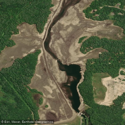
Presumpscot River
- Boat Ramps
- 8
- Access Points
- 10
- Campsites
- 6
The Presumpscot River is a significant waterway in southern Maine, flowing approximately 25 miles from its origin at Sebago Lake to its mouth at Casco Bay. This historic river drains a watershed of 648 square miles, receiving water from several tributaries including the Pleasant River, Little River, and Piscataqua River. Paddlers can enjoy a variety of experiences on the Presumpscot, from flatwater sections to challenging whitewater.
The river is divided into several distinct paddling segments, each offering unique characteristics. Near Sebago Lake, paddlers encounter a 2.5-mile stretch with Class I to IV rapids, suitable for experienced whitewater enthusiasts. Downstream, the river alternates between calm flatwater sections and areas requiring portages around dams. The overall difficulty ranges from flatwater suitable for beginners to Class IV rapids demanding advanced skills. Paddlers should be prepared for multiple portages, with 9 carries around 8 dams and one waterfall on a full river journey.
The best paddling season is typically from April through October, with spring offering higher water levels and fall providing scenic foliage views. Wildlife enthusiasts will appreciate the river's rich ecosystem, home to bald eagles, ospreys, herons, and various fish species. The surrounding landscape features a mix of forested areas and occasional historic sites, offering glimpses into the region's industrial past.
Key access points include Sebago Lake State Park, Shaw Park in Gorham, Lincoln Street Landing in Westbrook, and Presumpscot Falls Park in Falmouth. These locations provide convenient put-in and take-out spots for day trips of varying lengths.
The Presumpscot holds significant historical importance, having powered mills and supported communities for centuries. Today, efforts are underway to restore the river's natural state and improve its ecological health. Safety considerations include being aware of dam locations, checking water levels, and respecting private property along the shoreline. Paddlers should always wear life jackets and be prepared for changing weather conditions.
For those seeking a multi-day adventure, it's possible to paddle the entire length from Sebago Lake to Casco Bay, typically taking about 14 hours of paddling time spread over two or more days. This journey, known as Sebago to the Sea, offers a comprehensive experience of the Presumpscot's diverse character and scenic beauty.
Water access, boat ramps & amenities
Learn how to get on Presumpscot River. Uncover great paddling access points, boat ramps, and all the facilities you need for an unforgettable day on the water. Some locations shown may border or include private property. Always check property boundaries and applicable regulations before visiting. PaddleWays's Public & Private Land layer can help you plan your access with confidence.
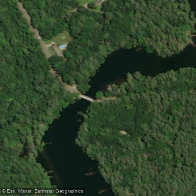
Babb's Covered Bridge Access
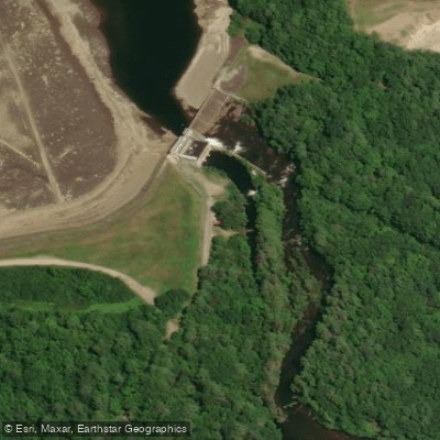
Dundee Pond Dam
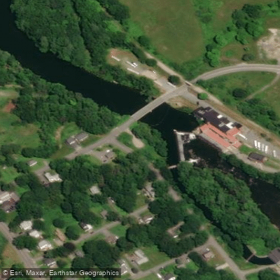
Mallison Falls Takeout

Presumpscot River Boat Ramp
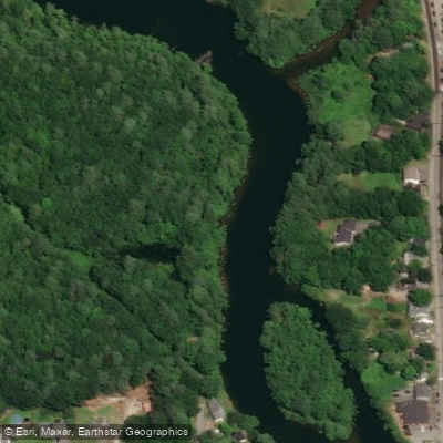
Presumpscot River Boat Ramp
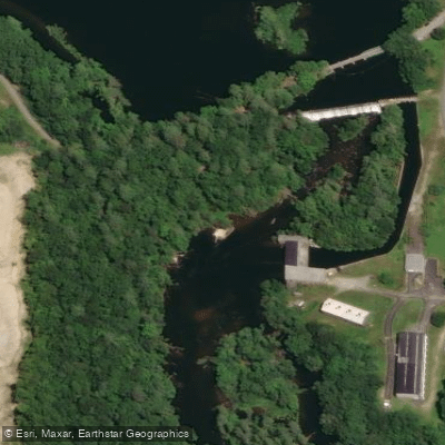
Gambo Falls Launch
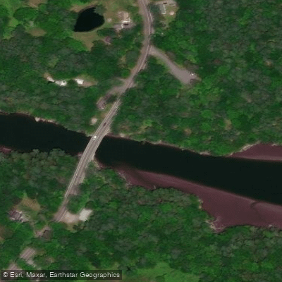
Presumpscot River Boat Ramp
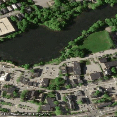
Ash Street Boat Ramp
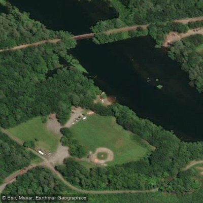
Shaw Park Access
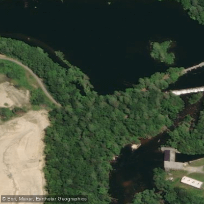
Gumbo Falls Takeout
Paddle smarter with real-time insights
Whether you're en route and conditions shift or you're looking for the best spot based on current flows, we enable you to make informed decisions on the fly.








Find Places to Paddle

Over 400,000 Places to Paddle
Every user gets free access to launch points, boat ramps, and public property parcels.


Water and weather conditions (10 day forecast)
See the best times to paddle Presumpscot River and check the forecast before you go.
Presumpscot River near West Falmouth, Maine
Paddling near Presumpscot River
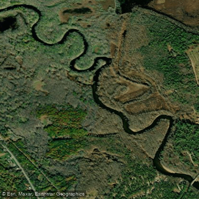
Saco River
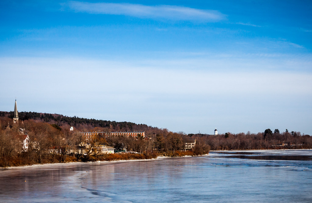
Kennebec River
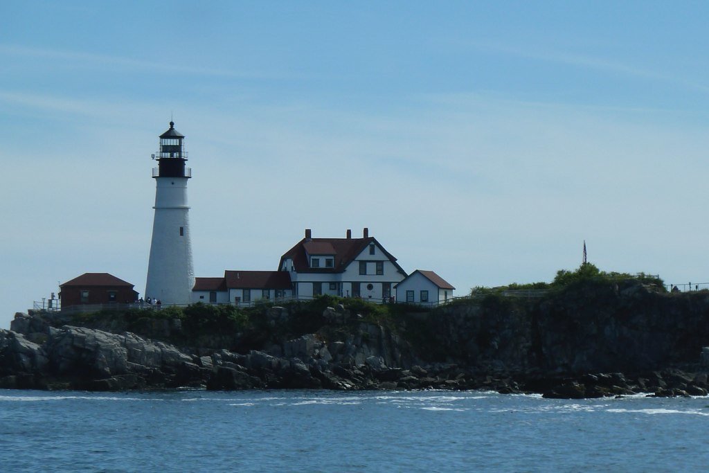
Casco Bay
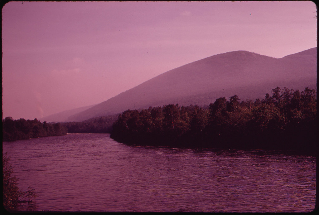
Androscoggin River
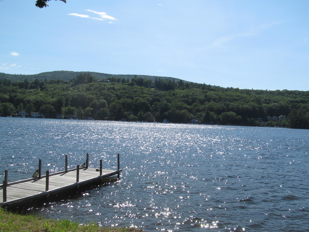
Lake Winnipesaukee
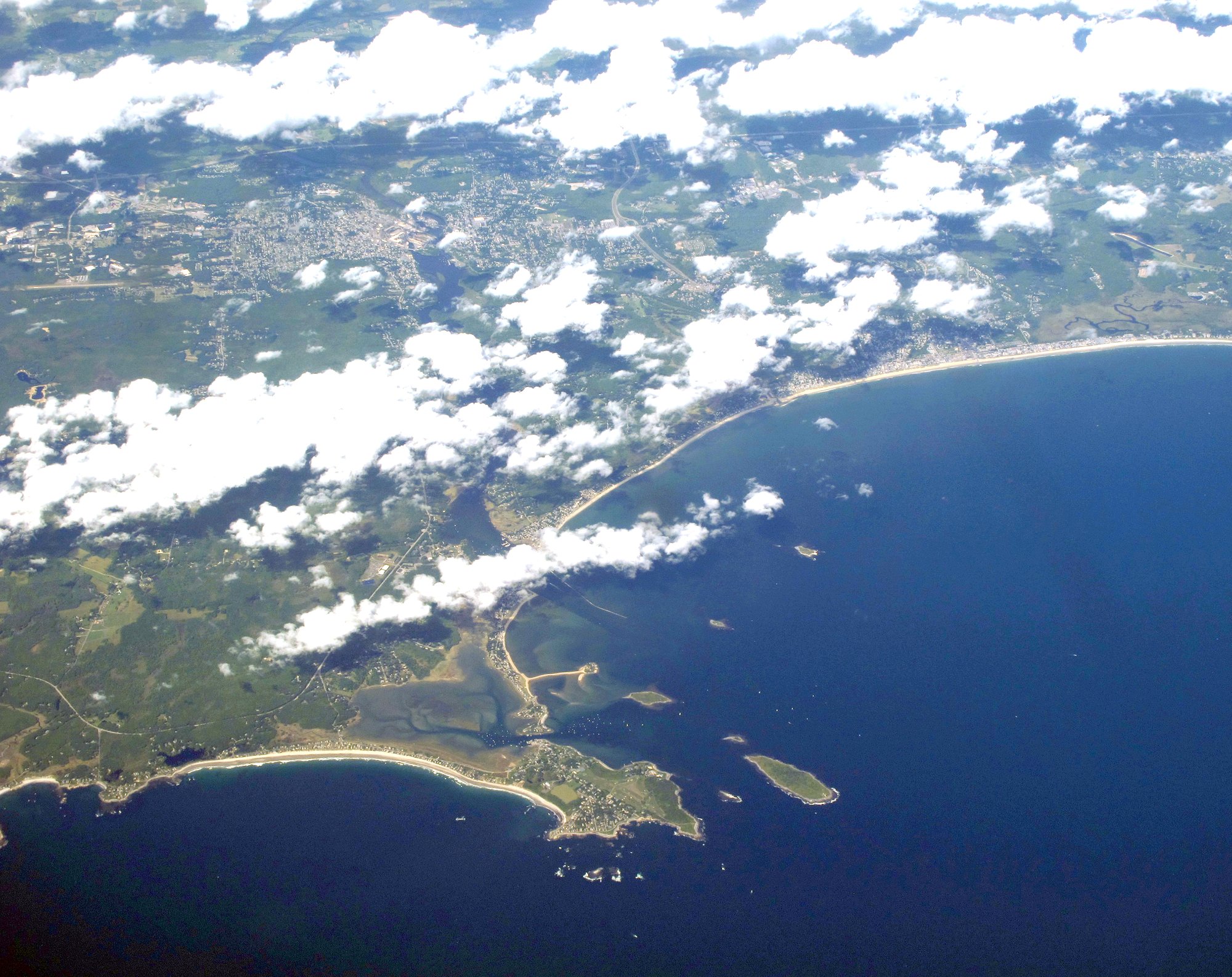
Saco Bay
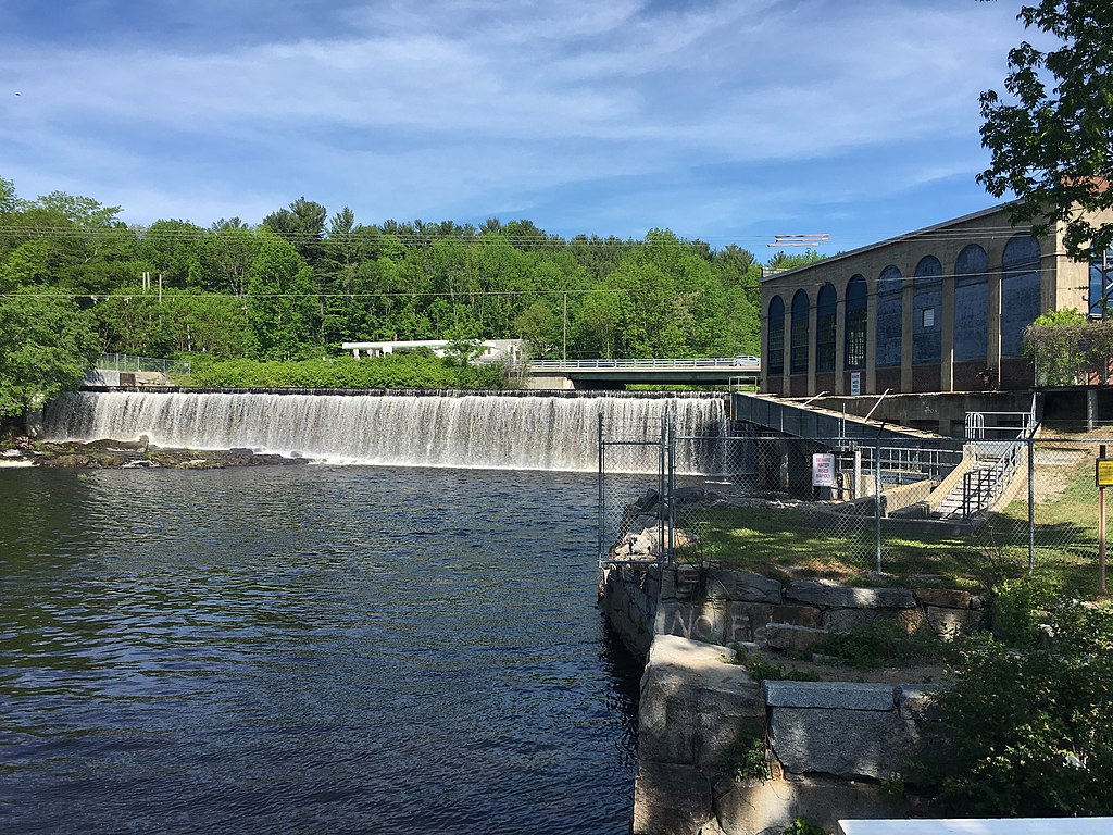
Salmon Falls River
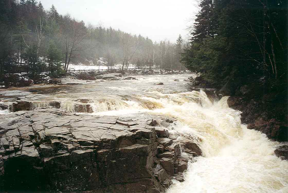
Swift River
Broad Sound

Sebago Lake
Explore Maine waters
Top paddling waters
Popular Cities
Loading popular cities...
Explore near Presumpscot River
Access points
Nearby waters
More in Maine

Smarter Paddling Starts in the App.
Paddleways gives you everything you need to plan smarter, paddle better, and own every trip from first launch to takeout.