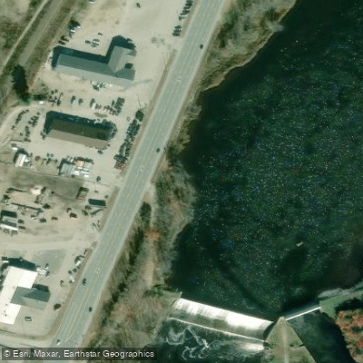





Errol Dam
Androscoggin River · Below Errol Dam · Brookfield Renewable
1,000 cfs now
Next 48 hours
- Today
- 5:00 PM EST to 5:00 PM EST
Forecast updated today at 5:23 PM EST. Schedules can change, so check the operator's page before you go.
The Androscoggin River is a major waterway flowing through New Hampshire and Maine, offering paddlers a diverse range of experiences from placid flatwater to challenging whitewater. Originating at Lake Umbagog on the New Hampshire-Maine border, the river winds its way southeast for approximately 170 miles before joining the Kennebec River at Merrymeeting Bay.
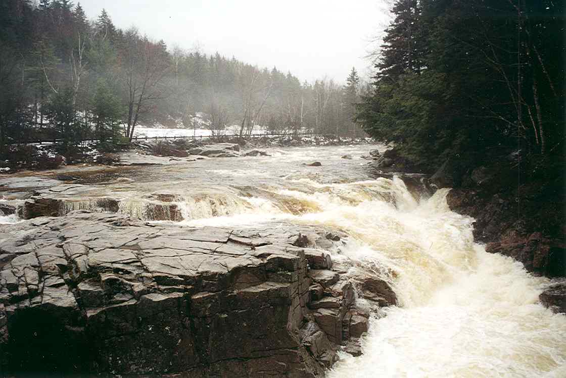
The river can be divided into three main sections, each with its own character. The North Woods section, from Lake Umbagog to Gilead, Maine, features a mix of flatwater and Class I-II rapids, with the Errol Rapids providing an exciting Class II-III run below Errol Dam. The Mahoosucs section, from Gilead to Rumford, offers mostly gentle paddling with occasional quickwater and riffles. The lower section, from Rumford to Merrymeeting Bay, includes several dam portages and some urban paddling experiences.
Paddling opportunities on the Androscoggin cater to a wide range of skill levels. Beginners can enjoy calm stretches like the flatwater between Bethel and Rumford, while more experienced paddlers can test their skills on the Pontook section's Class II-III rapids or the challenging Class IV run on the Little Androscoggin from Bryant Pond to Tubbs School.
The best time to paddle the Androscoggin is typically from late spring through early fall. Spring runoff can create high water conditions, making some sections more challenging. Summer offers warmer temperatures and generally stable water levels, while fall provides stunning foliage views.
Wildlife is abundant along the river, with opportunities to spot moose, bald eagles, ospreys, and various waterfowl. The surrounding landscape transitions from the rugged White Mountains to rolling hills and eventually coastal plains. Notable landmarks include the historic mill towns of Berlin and Gorham in New Hampshire, and Rumford and Lewiston-Auburn in Maine. The Great Falls in Lewiston-Auburn is an impressive sight, especially during spring runoff. The river's confluence with the Little Androscoggin in Auburn and its entry into Merrymeeting Bay are also points of interest.
Access points are numerous, with popular put-ins including Errol, Gilead, Bethel, and Brunswick. Many sections offer multiple access points, allowing for trips of varying lengths.
Historically, the Androscoggin played a crucial role in the region's industrial development, powering numerous mills along its course. Today, it stands as a testament to environmental recovery, having transformed from one of the most polluted rivers in the country to a vibrant recreational resource.
Safety considerations include being aware of dam releases, which can cause rapid changes in water levels, and properly scouting any whitewater sections before running them. Paddlers should also be mindful of the river's tidal influence in its lower reaches near Merrymeeting Bay.
For those seeking a multi-day adventure, a popular option is the "Source to Sea" trip, covering the entire length of the river over several days to weeks. This journey offers a comprehensive experience of the Androscoggin's varied character and the changing landscape of western Maine. Whether you're looking for a leisurely day float or an extended wilderness expedition, the Androscoggin River provides a wealth of paddling opportunities set against the backdrop of New England's natural beauty.
Learn how to get on Androscoggin River. Uncover great paddling access points, boat ramps, and all the facilities you need for an unforgettable day on the water. Some locations shown may border or include private property. Always check property boundaries and applicable regulations before visiting. PaddleWays's Public & Private Land layer can help you plan your access with confidence.
Whether you're en route and conditions shift or you're looking for the best spot based on current flows, we enable you to make informed decisions on the fly.





Every user gets free access to launch points, boat ramps, and public property parcels.
See the best times to paddle Androscoggin River and check the forecast before you go.
All Flow Stations
Scheduled releases and generation forecasts from the dams on Androscoggin River.
Androscoggin River · Below Errol Dam · Brookfield Renewable
1,000 cfs now
Forecast updated today at 5:23 PM EST. Schedules can change, so check the operator's page before you go.
Androscoggin River · Pontook reach · Brookfield Renewable
350 cfs now
Forecast updated today at 5:23 PM EST. Schedules can change, so check the operator's page before you go.
Loading popular cities...
Paddleways gives you everything you need to plan smarter, paddle better, and own every trip from first launch to takeout.
